- Population
- 347
- 347
- Elevation
- 400 m
- above sea level
- Local time
- UTC+01:00
- Europe/Paris · UTC+01:00
- Places inside
- 1
- listed under Fouday
- Airports
- SXB Strasbourg Airport35 km
- FKB Karlsruhe Baden-Baden Airport77 km
About Fouday
Fouday is a village. Location: Arrondissement of Molsheim, Bas-Rhin. Population: 347. Elevation: 400 m. The best months to visit are June–August. The nearest airport is Strasbourg Airport (35 km). Nearby sights include Vallée de la Bruche and Ban de la Roche.
Photos of Fouday
-
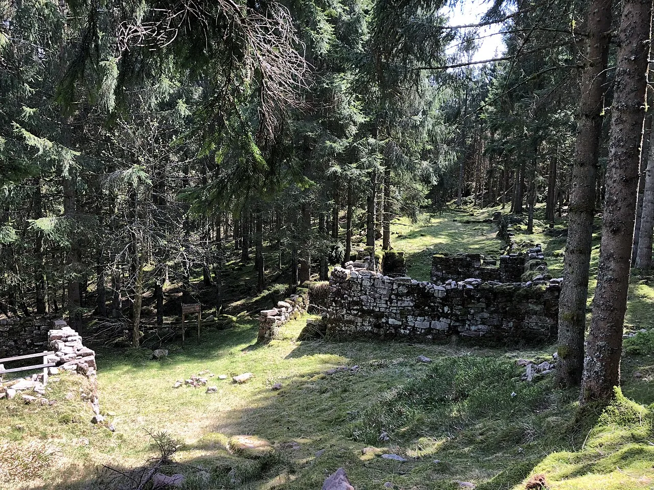
La Haute Loge Brostoler · CC BY-SA 4.0 -
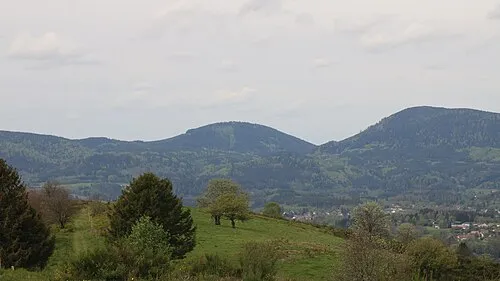
Le Houdimont Rémih · CC BY-SA 4.0 -
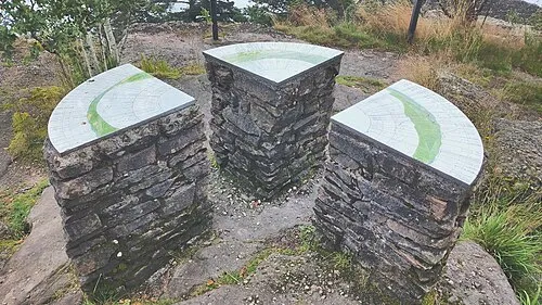
La Chatte Pendue BHetru · CC BY-SA 4.0 -
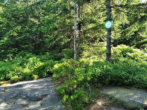
Tête des Blanches Roches HagridLiving · CC0 -
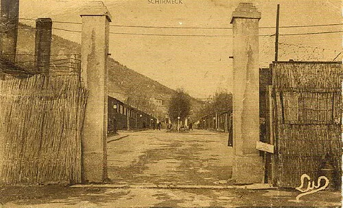
Security Camp Schirmeck-Vorbruck André Maurer · CC BY-SA 3.0


Climate of Fouday
Best months for sightseeingBest months for sightseeing: June–August.
This month · November
A wet month
Day 8° · Night 2° · Rain 100 mm
- Hottest month
- July (day 22°)
- Coldest month
- January (night -1°)
- Wettest month
- December (109 mm)
- Driest month
- April (77 mm)
Bars: average monthly low and high temperature. Below: precipitation. Monthly averages for 1970–2000 at about 18 km resolution, adjusted for elevation. Highlighted months are mild and relatively dry. Source: WorldClim 2.1 (CC BY 4.0).
Show values as a table
| Month | Jan | Feb | Mar | Apr | May | Jun | Jul | Aug | Sep | Oct | Nov | Dec |
|---|---|---|---|---|---|---|---|---|---|---|---|---|
| Average high (°C) | 4° | 5° | 9° | 12° | 17° | 20° | 22° | 22° | 18° | 13° | 8° | 5° |
| Average low (°C) | -1° | -1° | 2° | 4° | 8° | 11° | 13° | 13° | 10° | 7° | 2° | 0° |
| Precipitation (mm) | 88 | 85 | 79 | 77 | 104 | 103 | 94 | 80 | 85 | 95 | 100 | 109 |
How to get to Fouday
The nearest airport is Strasbourg Airport (SXB), 35 km to the east as the crow flies. The nearest large city is Strasbourg, 45 km to the northeast.
Airports
- Strasbourg Airport (SXB) Strasbourg 35 kmeast
- Karlsruhe Baden-Baden Airport (FKB) Rheinmünster 77 kmnortheast
- Saarbrücken Airport (SCN) Saarbrücken 88 kmnorth
Nearby large cities
- Strasbourg Population: 274.8K 45 kmnortheast
- Freiburg im Breisgau Population: 237.5K 68 kmsoutheast
- Mulhouse Population: 111.4K 75 kmsouth
- Nancy Population: 105.1K 80 kmwest
- Saarbrücken Population: 183K 91 kmnorth
Straight-line distances; road distances are longer. Airport data: OurAirports.
Day trips from Fouday
Within 100 km: 386 historic and cultural sites, 1,939 natural sites, 375 lakes, rivers and coasts.
0–25 km205 places
- lac de la Maix Lake 10 kmNW
- Lac de Pierre-Percée Lake 20 kmW
- Tête du Violu Mountain 22 kmS
- Montagne d'Ormont Mountain 18 kmSW
25–60 km512 places
- Unditz River 49 kmE
- Matschelsee Lake 47 kmE
- Limberg Mountain 43 kmSE
- Kaiserstuhl Mountain 50 kmSE
60–100 km1,983 places
- Rheinhafen Kleinhüningen Lake 98 kmS
- Neuer Teich Lake 99 kmS
- Basel Wiesenbrücke Landmark 99 kmS
- Rench River 65 kmNE
Straight-line distances.
Places in Fouday
1 placeBar: population relative to the most populous place in this list.
Nearby attractions & nature
Everything nearby-
Vallée de la Bruche Natural site, Grand Est1.2 km SW
-
Ban de la Roche Mountain, Blancherupt1.4 km SE
-
Ban de la Roche Natural site, Blancherupt1.4 km SE
-
Mont Saint-Jean Mountain, Solbach2 km E
-
Chergoute River, Waldersbach1.8 km E
-
la Fraize Mountain, Solbach2.2 km NE
Sources & licences
Data last updated: