- Population
- 104,667
- 104.7K
- Elevation
- 230 m
- above sea level
- Local time
- UTC+01:00
- Europe/Paris · UTC+01:00
- Places inside
- 77
- listed under Arrondissement of Molsheim
- Airports
- SXB Strasbourg Airport22 km
- FKB Karlsruhe Baden-Baden Airport62 km
About Arrondissement of Molsheim
Arrondissement of Molsheim is a municipality. Location: Bas-Rhin, Grand Est. Population: 104,667. Elevation: 230 m. The best months to visit are June–September. The nearest airport is Strasbourg Airport (22 km). Nearby sights include Forêt Domaniale de Haslach and Château du Grand Ringelstein.
Photos of Arrondissement of Molsheim
-
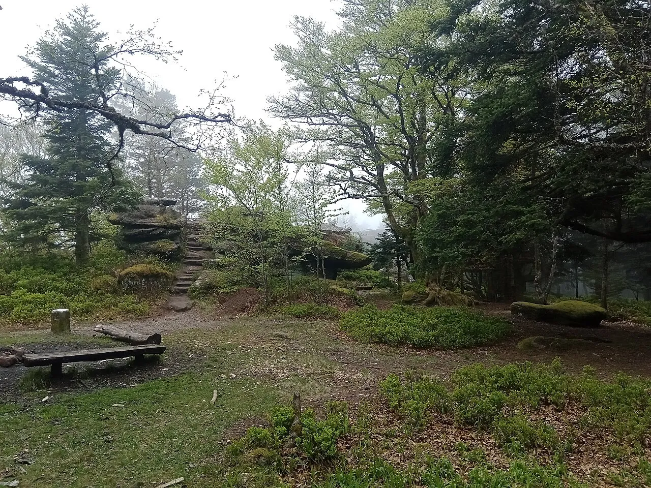
Le Schneeberg Rémih · CC BY-SA 4.0 -
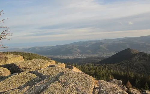
Rocher de Mutzig Laurent Jerry · CC BY-SA 3.0 -
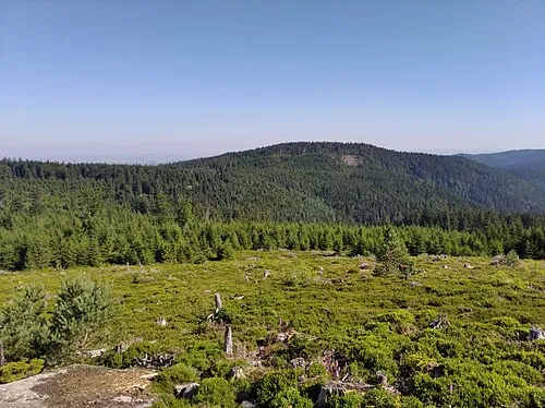
Le Narion HagridLiving · CC0 -
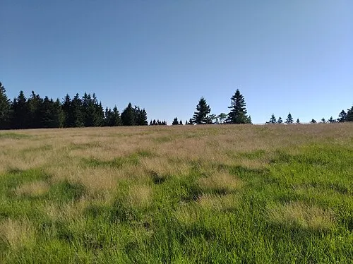
Le Noll HagridLiving · CC0 -
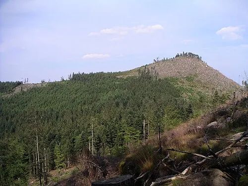
Le Petit Donon Jl staub · CC BY-SA 3.0


Climate of Arrondissement of Molsheim
Best months for sightseeingBest months for sightseeing: June–September.
This month · November
A cold month
Day 8° · Night 2° · Rain 66 mm
- Hottest month
- July (day 24°)
- Coldest month
- February (night -1°)
- Wettest month
- May (85 mm)
- Driest month
- January (50 mm)
Bars: average monthly low and high temperature. Below: precipitation. Monthly averages for 1970–2000 at about 18 km resolution, adjusted for elevation. Highlighted months are mild and relatively dry. Source: WorldClim 2.1 (CC BY 4.0).
Show values as a table
| Month | Jan | Feb | Mar | Apr | May | Jun | Jul | Aug | Sep | Oct | Nov | Dec |
|---|---|---|---|---|---|---|---|---|---|---|---|---|
| Average high (°C) | 4° | 6° | 10° | 14° | 19° | 21° | 24° | 24° | 20° | 14° | 8° | 5° |
| Average low (°C) | -1° | -1° | 2° | 4° | 9° | 12° | 14° | 13° | 10° | 6° | 2° | 0° |
| Precipitation (mm) | 50 | 52 | 50 | 53 | 85 | 83 | 73 | 64 | 68 | 67 | 66 | 67 |
Other places to visit in this season: June July August September
How to get to Arrondissement of Molsheim
The nearest airport is Strasbourg Airport (SXB), 22 km to the east as the crow flies. The nearest large city is Strasbourg, 31 km to the east.
Airports
- Strasbourg Airport (SXB) Strasbourg 22 kmeast
- Karlsruhe Baden-Baden Airport (FKB) Rheinmünster 62 kmnortheast
- Saarbrücken Airport (SCN) Saarbrücken 79 kmnorth
Nearby large cities
- Strasbourg Population: 274.8K 31 kmeast
- Freiburg im Breisgau Population: 237.5K 70 kmsoutheast
- Saarbrücken Population: 183K 82 kmnorth
- Mulhouse Population: 111.4K 86 kmsouth
- Nancy Population: 105.1K 87 kmwest
Straight-line distances; road distances are longer. Airport data: OurAirports.
Day trips from Arrondissement of Molsheim
Within 100 km: 442 historic and cultural sites, 2,345 natural sites, 443 lakes, rivers and coasts.
0–25 km186 places
- lac de la Maix Lake 20 kmW
- Le Donon Mountain 13 kmW
- Haut Rognol Mountain 14 kmNW
- Champ du Feu Mountain 15 kmS
25–60 km629 places
- Unditz River 39 kmE
- Rench River 50 kmE
- Matschelsee Lake 38 kmE
- Limberg Mountain 46 kmSE
60–100 km2,415 places
- Titisee Lake 92 kmSE
- Schluchsee Lake 100 kmSE
- Mummelsee Lake 64 kmE
- Huzenbacher See Lake 75 kmE
Straight-line distances.
Arrondissement of Molsheim and similar cities
Side by side with cities of similar size in the same country: population, elevation and climate.
| Measure | Arrondissement of Molsheim | Nancy | Argenteuil | Boulogne-Billancourt |
|---|---|---|---|---|
| Population | 104.7K | 105.1K | 101.5K | 108.8K |
| Elevation | 230 m | 212 m | 37 m | 35 m |
| Summer day (hottest month) | 24° | 24° | 25° | 25° |
| Winter night (coldest month) | -1° | -1° | 2° | 2° |
| Annual rainfall | 778 mm | 789 mm | 632 mm | 632 mm |
| Best months | Jun–Sep | Jun–Sep | May–Sep | May–Sep |
| Distance | — | 87 km | 377 km | 377 km |
Climate values are 1970–2000 monthly averages; straight-line distance.
Places in Arrondissement of Molsheim
77 places- 1 Molsheim 9.3K
- 2 Mutzig 6K
- 3 Wasselonne 5.6K
- 4 Rosheim 5.1K
- 5 Marlenheim 4.2K
- 6 Bischoffsheim 3.3K
- 7 Duttlenheim 2.9K
- 8 La Broque 2.7K
- 9 Dorlisheim 2.6K
- 10 Bœrsch 2.4K
- 11 Schirmeck 2.2K
- 12 Griesheim-près-Molsheim 2.2K
- 13 Wisches 2.1K
- 14 Lutzelhouse 1.9K
- 15 Ernolsheim-Bruche 1.9K
- 16 Dachstein 1.8K
- 17 Still 1.8K
- 18 Oberhaslach 1.8K
- 19 Gresswiller 1.7K
- 20 Westhoffen 1.7K
- 21 Duppigheim 1.6K
- 22 Rothau 1.6K
- 23 Ottrott 1.5K
- 24 Urmatt 1.5K
- 25 Dinsheim-sur-Bruche 1.4K
- 26 Niederhaslach 1.4K
- 27 Wangenbourg-Engenthal 1.4K
- 28 Ergersheim 1.3K
- 29 Altorf 1.3K
- 30 Russ 1.3K
- 31 Romanswiller 1.3K
- 32 Grendelbruch 1.2K
- 33 Scharrachbergheim-Irmstett 1.2K
- 34 Plaine 989
- 35 Wolxheim 954
- 36 Soultz-les-Bains 940
- 37 Mollkirch 928
- 38 Barembach 892
- 39 Nordheim 880
- 40 Saales 829
- 41 Dahlenheim 755
- 42 Dangolsheim 730
- 43 Avolsheim 727
- 44 Wangen 712
- 45 Bergbieten 699
- 46 Rosenwiller 698
- 47 Kirchheim 690
- 48 Heiligenberg 659
- 49 Balbronn 649
- 50 Muhlbach-sur-Bruche 648
- 51 Traenheim 648
- 52 Cosswiller 568
- 53 Natzwiller 548
- 54 Hohengœft 527
- 55 Saulxures 516
- 56 Colroy-la-Roche 491
- 57 Odratzheim 488
- 58 Saint-Nabor 488
- 59 Bourg-Bruche 469
- 60 Flexbourg 465
Bar: population relative to the most populous place in this list.
Nearby attractions & nature
Everything nearby-
Forêt Domaniale de Haslach Natural site, Bas-Rhin5.2 km N
-
Château du Grand Ringelstein Historic site, Grand Est4.4 km N
-
Château de Hohenstein Historic site, Grand Est5.1 km N
-
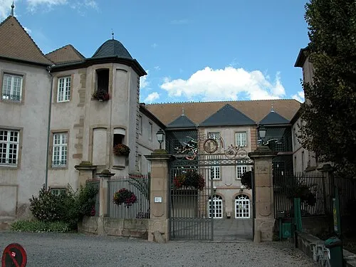 Château des Rohan Historic site, Grand Est8.8 km E
-
Forêt Domaniale de Lutzelhouse Natural site, Bas-Rhin8.5 km W
-
Cascade du Nideck Natural site, Grand Est7.2 km NW
-
Château du Nideck Historic site, Grand Est7.3 km NW
-
Urstein Mountain, Dabo9.1 km NW
Sources & licences
Data last updated: