La Croix
Located in Le Val-d'Ajol, Arrondissement of Épinal Coordinates: 47°55′53″ N 6°29′17″ E
- Elevation
- 364 m
- above sea level
- Local time
- UTC+01:00
- Europe/Paris · UTC+01:00
- Airports
- BSL EuroAirport Basel–Mulhouse–Freiburg86 km
- SXB Strasbourg Airport108 km
About La Croix
La Croix is a village. Location: Le Val-d'Ajol, Arrondissement of Épinal. Elevation: 364 m. The best months to visit are June–September. The nearest airport is EuroAirport Basel–Mulhouse–Freiburg (86 km). Nearby sights include Bois du Rey and Forêt de Humont.
Climate of La Croix
Best months for sightseeingBest months for sightseeing: June–September.
This month · November
A wet month
Day 8° · Night 1° · Rain 104 mm
- Hottest month
- July (day 24°)
- Coldest month
- January (night -2°)
- Wettest month
- December (109 mm)
- Driest month
- April (73 mm)
Bars: average monthly low and high temperature. Below: precipitation. Monthly averages for 1970–2000 at about 18 km resolution, adjusted for elevation. Highlighted months are mild and relatively dry. Source: WorldClim 2.1 (CC BY 4.0).
Show values as a table
| Month | Jan | Feb | Mar | Apr | May | Jun | Jul | Aug | Sep | Oct | Nov | Dec |
|---|---|---|---|---|---|---|---|---|---|---|---|---|
| Average high (°C) | 4° | 6° | 10° | 13° | 18° | 21° | 24° | 24° | 20° | 14° | 8° | 5° |
| Average low (°C) | -2° | -2° | 1° | 3° | 7° | 11° | 13° | 12° | 9° | 6° | 1° | -1° |
| Precipitation (mm) | 93 | 87 | 77 | 73 | 94 | 96 | 84 | 75 | 86 | 93 | 104 | 109 |
Other places to visit in this season: June July August September
How to get to La Croix
The nearest airport is EuroAirport Basel–Mulhouse–Freiburg (BSL), 86 km to the southeast as the crow flies. The nearest large city is Mulhouse, 66 km to the east.
Airports
- EuroAirport Basel–Mulhouse–Freiburg (BSL) Bâle / Mulhouse 86 kmsoutheast
- Strasbourg Airport (SXB) Strasbourg 108 kmnortheast
- Metz-Nancy-Lorraine Airport (ETZ) Goin 118 kmnorth
Nearby large cities
- Mulhouse Population: 111.4K 66 kmeast
- Besançon Population: 128.4K 84 kmsouthwest
- Nancy Population: 105.1K 87 kmnorth
- Basel Population: 177.6K 91 kmsoutheast
- Freiburg im Breisgau Population: 237.5K 102 kmeast
Straight-line distances; road distances are longer. Airport data: OurAirports.
Day trips from La Croix
Within 100 km: 306 historic and cultural sites, 739 natural sites, 186 lakes, rivers and coasts.
0–25 km39 places
- Saint-Mont Mountain 15 kmNE
- Forêt d'Uriménil Natural site 18 kmNW
- Forêt de Tanières Natural site 23 kmN
- Forêt de Saint-Antoine Natural site 25 kmSE
25–60 km417 places
- lac des Truites - du Forlet Lake 48 kmNE
- Lac Noir Lake 50 kmNE
- Lac de Longemer Lake 38 kmNE
- Lac de Gérardmer Lake 31 kmNE
60–100 km775 places
- Etang de la Gruère Lake 88 kmSE
- Etangs Rougeat Lake 73 kmSE
- Lac de Moron Lake 95 kmS
- Lac des Brenets Lake 97 kmS
Straight-line distances.
Nearby attractions & nature
Everything nearby-
Bois du Rey Natural site, Vosges4 km E
-
Forêt de Humont Natural site, Vosges6.9 km N
-
Forêt d'Hérival Natural site, Vosges7.3 km NE
-
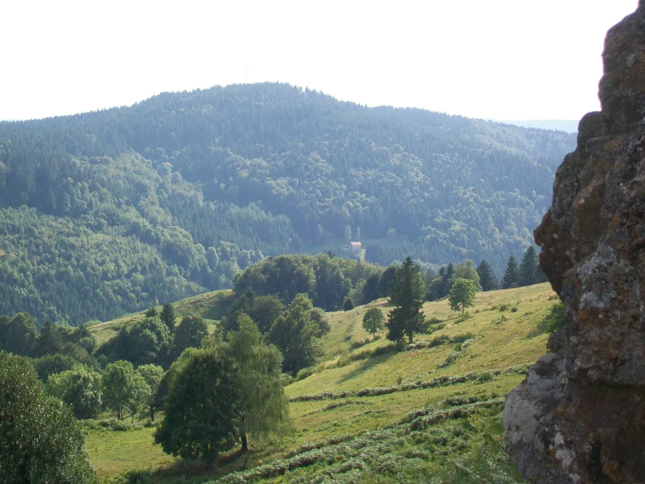 Haut du Roc Mountain, Basse-sur-le-Rupt22 km E
-
Abbaye de Remiremont Historic site, Remiremont12 km NE
-
Haut du Diroux Mountain, Thiéfosse20 km E
Sources & licences
Data last updated: