- Population
- 101,522
- 101.5K
- Elevation
- 427 m
- above sea level
- Local time
- UTC+01:00
- Europe/Paris · UTC+01:00
- Places inside
- 116
- listed under Arrondissement of Saint-Dié-des-Vosges
- Airports
- SXB Strasbourg Airport59 km
- BSL EuroAirport Basel–Mulhouse–Freiburg85 km
About Arrondissement of Saint-Dié-des-Vosges
Arrondissement of Saint-Dié-des-Vosges is a municipality. Location: Vosges, Grand Est. Population: 101,522. Elevation: 427 m. The best months to visit are June–August. The nearest airport is Strasbourg Airport (59 km). Nearby sights include Fave and Bois de la Madeleine.
Photos of Arrondissement of Saint-Dié-des-Vosges
-
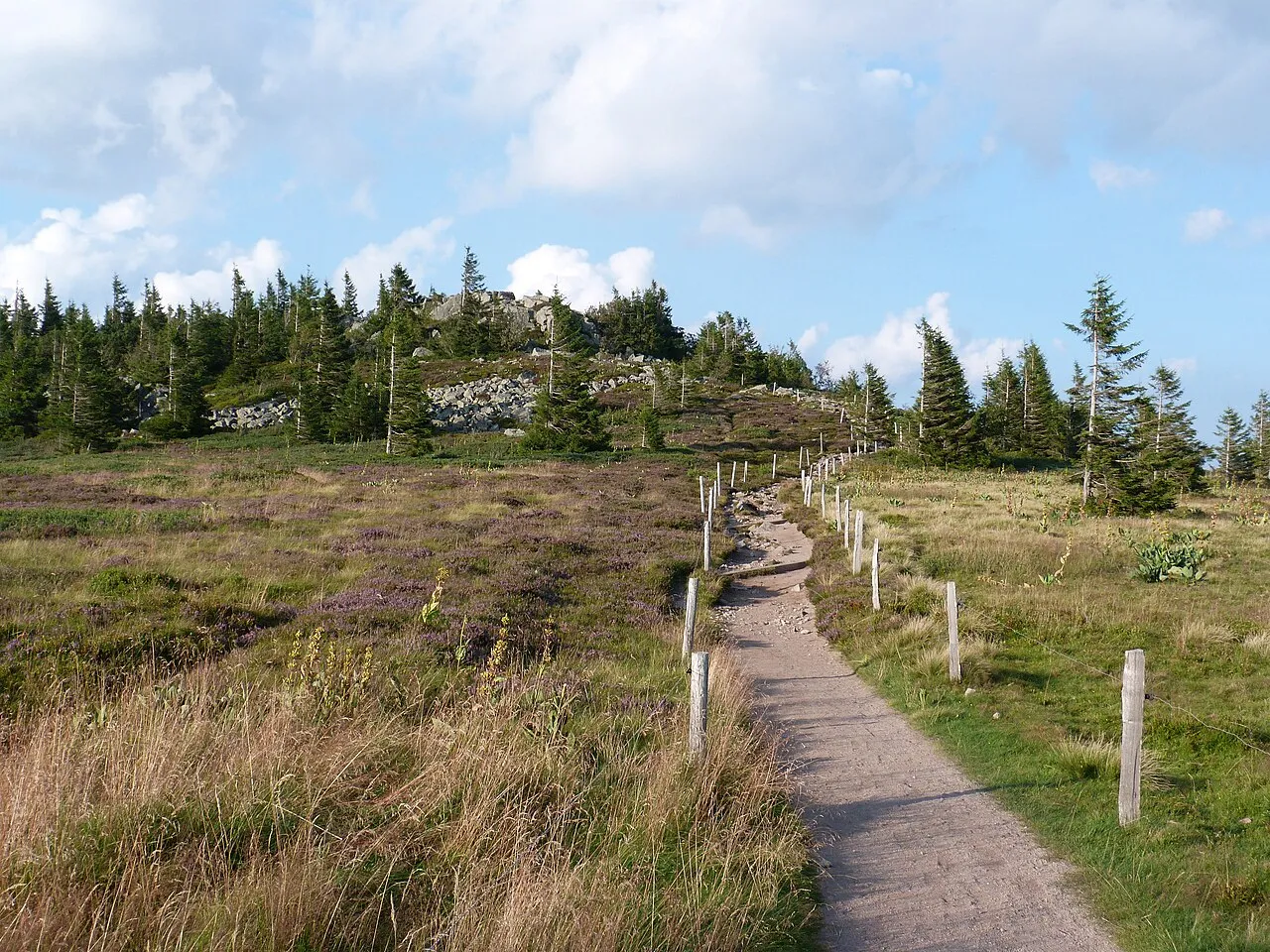
Le Tanet Florian Grossir · CC BY-SA 4.0 -
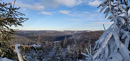
Tête de Grouvelin Jérémy DUQUESNE · Public domain -
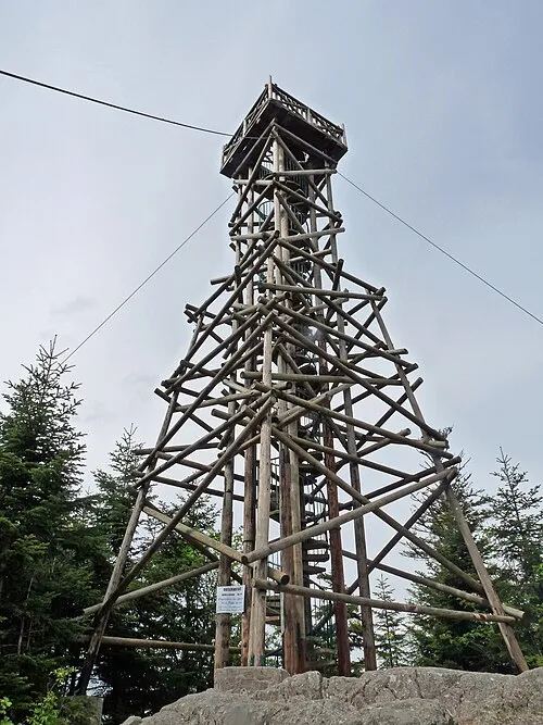
Tête de Mérelle Ji-Elle · CC BY-SA 3.0 -
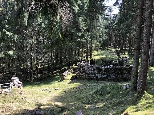
La Haute Loge Brostoler · CC BY-SA 4.0 -
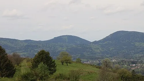
Le Houdimont Rémih · CC BY-SA 4.0


Climate of Arrondissement of Saint-Dié-des-Vosges
Best months for sightseeingBest months for sightseeing: June–August.
This month · November
A cold month
Day 7° · Night 1° · Rain 84 mm
- Hottest month
- July (day 23°)
- Coldest month
- January (night -2°)
- Wettest month
- December (93 mm)
- Driest month
- April (63 mm)
Bars: average monthly low and high temperature. Below: precipitation. Monthly averages for 1970–2000 at about 18 km resolution, adjusted for elevation. Highlighted months are mild and relatively dry. Source: WorldClim 2.1 (CC BY 4.0).
Show values as a table
| Month | Jan | Feb | Mar | Apr | May | Jun | Jul | Aug | Sep | Oct | Nov | Dec |
|---|---|---|---|---|---|---|---|---|---|---|---|---|
| Average high (°C) | 3° | 5° | 9° | 12° | 17° | 20° | 23° | 23° | 19° | 13° | 7° | 5° |
| Average low (°C) | -2° | -2° | 1° | 3° | 7° | 11° | 13° | 12° | 9° | 6° | 1° | -1° |
| Precipitation (mm) | 75 | 72 | 65 | 63 | 89 | 86 | 79 | 69 | 74 | 78 | 84 | 93 |
How to get to Arrondissement of Saint-Dié-des-Vosges
The nearest airport is Strasbourg Airport (SXB), 59 km to the northeast as the crow flies. The nearest large city is Mulhouse, 64 km to the southeast.
Airports
- Strasbourg Airport (SXB) Strasbourg 59 kmnortheast
- EuroAirport Basel–Mulhouse–Freiburg (BSL) Bâle / Mulhouse 85 kmsoutheast
- Metz-Nancy-Lorraine Airport (ETZ) Goin 95 kmnorthwest
Nearby large cities
- Mulhouse Population: 111.4K 64 kmsoutheast
- Strasbourg Population: 274.8K 69 kmnortheast
- Nancy Population: 105.1K 73 kmnorthwest
- Freiburg im Breisgau Population: 237.5K 74 kmsoutheast
- Basel Population: 177.6K 91 kmsoutheast
Straight-line distances; road distances are longer. Airport data: OurAirports.
Day trips from Arrondissement of Saint-Dié-des-Vosges
Within 100 km: 366 historic and cultural sites, 1,256 natural sites, 304 lakes, rivers and coasts.
0–25 km126 places
- lac des Truites - du Forlet Lake 20 kmSE
- Lac Noir Lake 20 kmSE
- Lac de Longemer Lake 21 kmS
- Lac de Gérardmer Lake 23 kmS
25–60 km567 places
- Limberg Mountain 50 kmE
- Kaiserstuhl Mountain 56 kmE
- Eichelspitze Mountain 59 kmE
- Mühlbach River 56 kmE
60–100 km1,233 places
- Etangs Rougeat Lake 91 kmS
- Pisciculture Lake 89 kmS
- Rheinhafen Kleinhüningen Lake 90 kmSE
- Etang du Milieu Lake 90 kmS
Straight-line distances.
Arrondissement of Saint-Dié-des-Vosges and similar cities
Side by side with cities of similar size in the same country: population, elevation and climate.
| Measure | Arrondissement of Saint-Dié-des-Vosges | Argenteuil | Nancy | Boulogne-Billancourt |
|---|---|---|---|---|
| Population | 101.5K | 101.5K | 105.1K | 108.8K |
| Elevation | 427 m | 37 m | 212 m | 35 m |
| Summer day (hottest month) | 23° | 25° | 24° | 25° |
| Winter night (coldest month) | -2° | 2° | -1° | 2° |
| Annual rainfall | 927 mm | 632 mm | 789 mm | 632 mm |
| Best months | Jun–Aug | May–Sep | Jun–Sep | May–Sep |
| Distance | — | 355 km | 73 km | 353 km |
Climate values are 1970–2000 monthly averages; straight-line distance.
Places in Arrondissement of Saint-Dié-des-Vosges
116 places- 1 Saint-Dié-des-Vosges 19.7K
- 2 Gérardmer 8.1K
- 3 Raon-l'Étape 6.4K
- 4 Anould 3.3K
- 5 Moyenmoutier 3.2K
- 6 Bruyères 3.1K
- 7 Fraize 2.9K
- 8 Granges-Aumontzey 2.7K
- 9 Étival-Clairefontaine 2.6K
- 10 Senones 2.5K
- 11 Saulcy-sur-Meurthe 2.3K
- 12 Sainte-Marguerite 2.3K
- 13 Saint-Michel-sur-Meurthe 1.9K
- 14 Plainfaing 1.7K
- 15 Le Tholy 1.6K
- 16 Corcieux 1.6K
- 17 Taintrux 1.6K
- 18 Xonrupt-Longemer 1.5K
- 19 Provenchères-et-Colroy 1.4K
- 20 Saint-Léonard 1.4K
- 21 Ban-de-Laveline 1.2K
- 22 Cheniménil 1.2K
- 23 Ban-sur-Meurthe-Clefcy 951
- 24 La Bourgonce 899
- 25 Docelles 889
- 26 Lépanges-sur-Vologne 875
- 27 Celles-sur-Plaine 847
- 28 Nayemont-les-Fosses 814
- 29 Grandvillers 764
- 30 La Petite-Raon 755
- 31 La Voivre 692
- 32 Moussey 638
- 33 Laval-sur-Vologne 637
- 34 Laveline-devant-Bruyères 630
- 35 Mandray 593
- 36 La Houssière 592
- 37 Gerbépal 586
- 38 La Chapelle-devant-Bruyères 586
- 39 Champ-le-Duc 550
- 40 Nompatelize 540
- 41 Saint-Remy 518
- 42 Pair-et-Grandrupt 510
- 43 Entre-deux-Eaux 509
- 44 La Croix-aux-Mines 509
- 45 La Neuveville-devant-Lépanges 502
- 46 Fremifontaine 483
- 47 Remomeix 483
- 48 Fontenay 477
- 49 Raves 469
- 50 Brouvelieures 440
- 51 Lusse 436
- 52 Biffontaine 416
- 53 Wisembach 403
- 54 La Salle 396
- 55 Charmois-devant-Bruyères 395
- 56 Coinches 352
- 57 Ban-de-Sapt 349
- 58 Neuvillers-sur-Fave 340
- 59 Girecourt-sur-Durbion 339
- 60 Le Saulcy 329
Bar: population relative to the most populous place in this list.
Nearby attractions & nature
Everything nearby-
Fave River, Vosges2.9 km NE
-
Bois de la Madeleine Natural site, Vosges5.2 km NW
-
Bois de la Famille Natural site, Vosges6.1 km W
-
Forêt de Champ Natural site, Vosges8.6 km SW
-
Forêt de Mortagne Natural site, Vosges9.8 km W
-
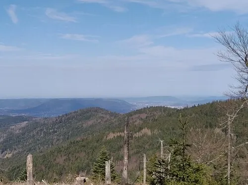 Le Rossberg Mountain, Le Bonhomme14 km SE
-
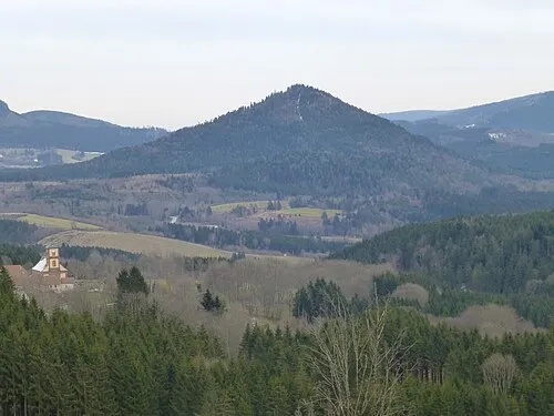 Le Voyemont Mountain, Saales16 km NE
-
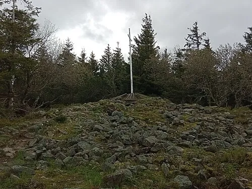 Tête des Faux Mountain, Orbey18 km SE
Sources & licences
Data last updated: