- Elevation
- 521 m
- above sea level
- Local time
- UTC+01:00
- Europe/Paris · UTC+01:00
- Airports
- SXB Strasbourg Airport60 km
- ETZ Metz-Nancy-Lorraine Airport90 km
About Bois de la Madeleine
Bois de la Madeleine is a natural site. Location: Vosges, Grand Est. The best months to visit are June–August. The nearest airport is Strasbourg Airport (60 km). Nearby sights include Haut Jacques and Bois de la Famille.
Climate of Bois de la Madeleine
Best months for sightseeingBest months for sightseeing: June–August.
This month · November
A cold month
Day 7° · Night 1° · Rain 84 mm
- Hottest month
- July (day 22°)
- Coldest month
- January (night -3°)
- Wettest month
- December (93 mm)
- Driest month
- April (63 mm)
Bars: average monthly low and high temperature. Below: precipitation. Monthly averages for 1970–2000 at about 18 km resolution, adjusted for elevation. Highlighted months are mild and relatively dry. Source: WorldClim 2.1 (CC BY 4.0).
Show values as a table
| Month | Jan | Feb | Mar | Apr | May | Jun | Jul | Aug | Sep | Oct | Nov | Dec |
|---|---|---|---|---|---|---|---|---|---|---|---|---|
| Average high (°C) | 3° | 4° | 8° | 12° | 17° | 20° | 22° | 22° | 18° | 13° | 7° | 4° |
| Average low (°C) | -3° | -2° | 0° | 2° | 7° | 10° | 12° | 12° | 8° | 5° | 1° | -1° |
| Precipitation (mm) | 75 | 72 | 65 | 63 | 89 | 86 | 79 | 69 | 74 | 78 | 84 | 93 |
How to get to Bois de la Madeleine
The nearest airport is Strasbourg Airport (SXB), 60 km to the northeast as the crow flies. The nearest large city is Nancy, 68 km to the northwest.
Airports
- Strasbourg Airport (SXB) Strasbourg 60 kmnortheast
- Metz-Nancy-Lorraine Airport (ETZ) Goin 90 kmnorthwest
- EuroAirport Basel–Mulhouse–Freiburg (BSL) Bâle / Mulhouse 91 kmsoutheast
Nearby large cities
- Nancy Population: 105.1K 68 kmnorthwest
- Mulhouse Population: 111.4K 69 kmsoutheast
- Strasbourg Population: 274.8K 70 kmnortheast
- Freiburg im Breisgau Population: 237.5K 79 kmsoutheast
- Basel Population: 177.6K 97 kmsoutheast
Straight-line distances; road distances are longer. Airport data: OurAirports.
Day trips from Bois de la Madeleine
Within 100 km: 349 historic and cultural sites, 1,216 natural sites, 294 lakes, rivers and coasts.
0–25 km97 places
- Lac Blanc Lake 24 kmSE
- lac de la Maix Lake 23 kmNE
- Lac de Pierre-Percée Lake 18 kmN
- Tête du Violu Mountain 19 kmSE
25–60 km583 places
- Limberg Mountain 55 kmE
- Mühlbach River 60 kmE
- Krebsbach River 57 kmSE
- Blauwasser River 55 kmE
60–100 km1,179 places
- Etangs Rougeat Lake 95 kmS
- Pisciculture Lake 93 kmS
- Rheinhafen Kleinhüningen Lake 95 kmSE
- Etang du Milieu Lake 94 kmS
Straight-line distances.
Nearest towns and villages
-
Saint-Michel-sur-Meurthe Village, Arrondissement of Saint-Dié-des-Vosges2.2 km NW
-
Arrondissement of Saint-Dié-des-Vosges Municipality, Vosges5.2 km SE
-
Saint-Dié-des-Vosges Village, Arrondissement of Saint-Dié-des-Vosges4.1 km SE
-
Saint-Michel-sur-Meurthe Village, Saint-Michel-sur-Meurthe2.6 km N
-
La Voivre Village, Arrondissement of Saint-Dié-des-Vosges3.7 km N
-
La Voivre Village, La Voivre3.5 km N
Nearby attractions & nature
Everything nearby-
Haut Jacques Mountain, Mortagne3.1 km SW
-
Bois de la Famille Natural site, Vosges5.1 km SW
-
Forêt de Mortagne Natural site, Vosges6.5 km W
-
Fave River, Vosges6.2 km E
-
Montagne d'Ormont Mountain, Saint-Dié-des-Vosges8.1 km E
-
Cathédrale Saint-Dié Attraction, Saint-Dié-des-Vosges4 km E
-
Forêt de Champ Natural site, Vosges9.1 km SW
-
Rabodeau River, Vosges8.9 km N
More nature in France
-
Forêt de Rambervillers Natural site, Vosges11 km W
-
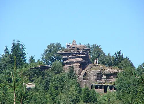 Tête du Coquin Mountain, Celles-sur-Plaine19 km NE
-
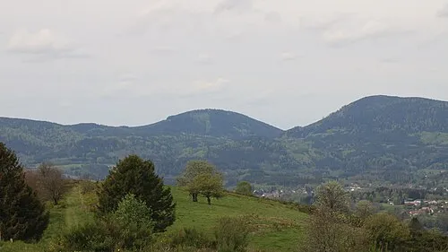 Le Houdimont Mountain, Belval18 km NE
-
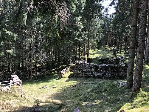 La Haute Loge Mountain, Moussey21 km NE
-
Le Pain de Sucre Mountain, Celles-sur-Plaine18 km N
-
Haut du Moelleux Mountain, Celles-sur-Plaine18 km N
Sources & licences
Data last updated: