- Population
- 318,325
- 318.3K
- Elevation
- 96 m
- above sea level
- Local time
- UTC+01:00
- Europe/Paris · UTC+01:00
- Airports
- CDG Charles de Gaulle International Airport20 km
- ORY Paris-Orly Airport24 km
About Marne La Vallée
Marne La Vallée is a city. Location: Île-de-France Region, France. Population: 318,325. Elevation: 96 m. The best months to visit are June–September. The nearest airport is Charles de Gaulle International Airport (20 km). Nearby sights include Château de Champs-sur-Marne and Abbaye de Chelles.
Photos of Marne La Vallée
-
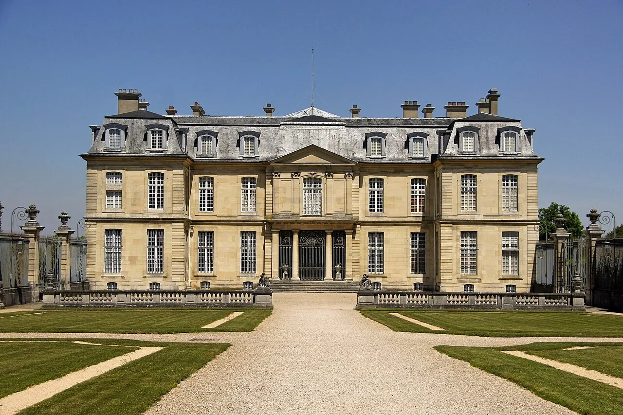
Château de Champs-sur-Marne besopha · CC BY-SA 2.0 -
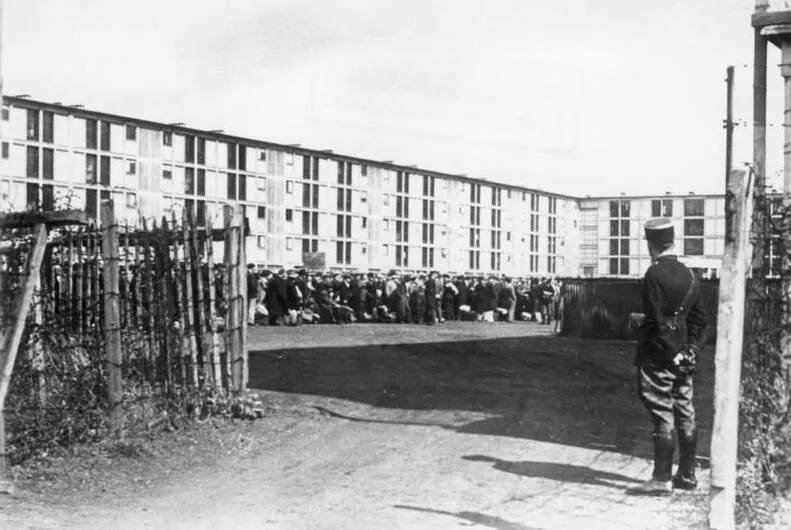
Drancy Transit Camp Wisch · CC BY-SA 3.0 de -
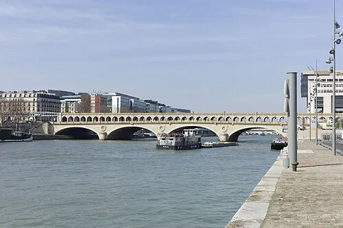
Pont de Bercy Олександр Виaл · CC BY 2.0 -
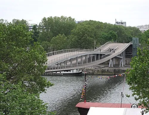
Passerelle Simone-de-Beauvoir AHert · CC BY-SA 4.0 -
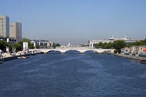
pont de Tolbiac ignis · CC BY-SA 3.0


Climate of Marne La Vallée
Best months for sightseeingBest months for sightseeing: June–September.
This month · November
A cold month
Day 10° · Night 4° · Rain 52 mm
- Hottest month
- August (day 24°)
- Coldest month
- February (night 1°)
- Wettest month
- May (61 mm)
- Driest month
- February (45 mm)
Bars: average monthly low and high temperature. Below: precipitation. Monthly averages for 1970–2000 at about 18 km resolution, adjusted for elevation. Highlighted months are mild and relatively dry. Source: WorldClim 2.1 (CC BY 4.0).
Show values as a table
| Month | Jan | Feb | Mar | Apr | May | Jun | Jul | Aug | Sep | Oct | Nov | Dec |
|---|---|---|---|---|---|---|---|---|---|---|---|---|
| Average high (°C) | 6° | 7° | 11° | 14° | 18° | 21° | 24° | 24° | 20° | 15° | 10° | 7° |
| Average low (°C) | 1° | 1° | 3° | 5° | 9° | 11° | 13° | 13° | 10° | 7° | 4° | 2° |
| Precipitation (mm) | 52 | 45 | 48 | 49 | 61 | 58 | 56 | 46 | 54 | 58 | 52 | 56 |
Other places to visit in this season: June July August September
How to get to Marne La Vallée
The nearest airport is Charles de Gaulle International Airport (CDG), 20 km to the north as the crow flies. The nearest large city is Montreuil, 15 km to the west.
Airports
- Charles de Gaulle International Airport (CDG) Paris (Roissy-en-France, Val-d'Oise) 20 kmnorth
- Paris-Orly Airport (ORY) Paris (Orly, Val-de-Marne) 24 kmsouthwest
- Beauvais-Tillé airport (BVA) Beauvais 79 kmnorthwest
Nearby large cities
- Montreuil Population: 111.2K 15 kmwest
- Paris 20 Ménilmontant Population: 185.1K 18 kmwest
- Paris 12 Reuilly Population: 138K 19 kmwest
- Paris 11 Popincourt Population: 138.2K 19 kmwest
- Paris 19 Buttes-Chaumont Population: 178.7K 20 kmwest
Straight-line distances; road distances are longer. Airport data: OurAirports.
Day trips from Marne La Vallée
Within 100 km: 625 historic and cultural sites, 235 natural sites, 205 lakes, rivers and coasts.
0–25 km358 places
- Île Saint-Louis Island 21 kmW
- Île de la Cité Island 22 kmW
- Ancienne île Notre-Dame Island 21 kmW
- Réservoir de la Vanne Lake 23 kmW
25–60 km364 places
- Île du Pont Island 29 kmW
- Île de Puteaux Island 30 kmW
- Île-Belle Island 58 kmW
- Île de Pothuis Island 46 kmNW
60–100 km343 places
- Étang des Vallées Lake 87 kmS
- Étang d'Orleans Lake 93 kmE
- Étang de la Logette Lake 70 kmNE
- Étang des Liesses Lake 99 kmS
Straight-line distances.
Marne La Vallée and similar cities
Side by side with cities of similar size in the same country: population, elevation and climate.
| Measure | Marne La Vallée | Nantes | Nice | Strasbourg |
|---|---|---|---|---|
| Population | 318.3K | 325.1K | 342.7K | 274.8K |
| Elevation | 96 m | 19 m | 25 m | 147 m |
| Summer day (hottest month) | 24° | 25° | 28° | 25° |
| Winter night (coldest month) | 1° | 3° | 5° | -1° |
| Annual rainfall | 635 mm | 794 mm | 807 mm | 735 mm |
| Best months | Jun–Sep | Jun–Sep | May–Sep | May–Sep |
| Distance | — | 361 km | 672 km | 377 km |
Climate values are 1970–2000 monthly averages; straight-line distance.
Nearby attractions & nature
Everything nearby-
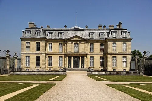 Château de Champs-sur-Marne Historic site, Champs-sur-Marne3.4 km NW
-
Abbaye de Chelles Historic site, Chelles5.9 km NW
-
La Haute-Île Natural site, Neuilly-sur-Marne6.5 km W
-
Bois de Ferrières Natural site, Seine-et-Marne6.6 km SE
-
Bois de Pontcarré Natural site, Seine-et-Marne8 km SE
-
Drancy Transit Camp Historic site, Drancy17 km NW
-
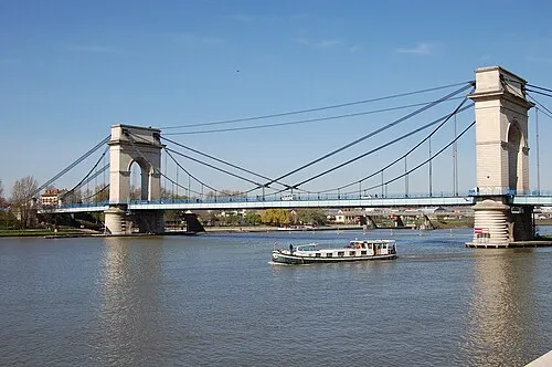 Port à l'Anglais Bridge Landmark, Alfortville17 km W
-
Forêt d'Armainvilliers Natural site, Seine-et-Marne9.1 km SE
Sources & licences
Data last updated: