Raffetot
Located in Arrondissement of Le Havre, Seine-Maritime Coordinates: 49°36′01″ N 0°30′52″ E
- Population
- 502
- 502
- Elevation
- 135 m
- above sea level
- Local time
- UTC+01:00
- Europe/Paris · UTC+01:00
- Places inside
- 1
- listed under Raffetot
- Airports
- DOL Deauville Normandie airport37 km
- CFR Caen Carpiquet airport85 km
About Raffetot
Raffetot is a village. Location: Arrondissement of Le Havre, Seine-Maritime. Population: 502. Elevation: 135 m. The best months to visit are June–September. The nearest airport is Deauville Normandie airport (37 km). Nearby sights include Tancarville Bridge and Abbaye du Valasse.
Climate of Raffetot
Best months for sightseeingBest months for sightseeing: June–September.
This month · November
A cold month
Day 11° · Night 5° · Rain 84 mm
- Hottest month
- August (day 21°)
- Coldest month
- February (night 2°)
- Wettest month
- December (85 mm)
- Driest month
- July (49 mm)
Bars: average monthly low and high temperature. Below: precipitation. Monthly averages for 1970–2000 at about 18 km resolution, adjusted for elevation. Highlighted months are mild and relatively dry. Source: WorldClim 2.1 (CC BY 4.0).
Show values as a table
| Month | Jan | Feb | Mar | Apr | May | Jun | Jul | Aug | Sep | Oct | Nov | Dec |
|---|---|---|---|---|---|---|---|---|---|---|---|---|
| Average high (°C) | 7° | 8° | 10° | 12° | 16° | 18° | 20° | 21° | 19° | 15° | 11° | 8° |
| Average low (°C) | 2° | 2° | 4° | 5° | 8° | 11° | 13° | 13° | 11° | 9° | 5° | 3° |
| Precipitation (mm) | 76 | 62 | 58 | 51 | 58 | 56 | 49 | 50 | 69 | 81 | 84 | 85 |
Other places to visit in this season: June July August September
How to get to Raffetot
The nearest airport is Deauville Normandie airport (DOL), 37 km to the southwest as the crow flies. For international flights: Beauvais-Tillé airport (BVA) (117 km). The nearest large city is Le Havre, 32 km to the west.
Airports
- Deauville Normandie airport (DOL) Deauville 37 kmsouthwest
- Caen Carpiquet airport (CFR) Caen 85 kmsouthwest
- Beauvais-Tillé airport (BVA) Beauvais 117 kmeast
Nearby large cities
- Le Havre Population: 186K 32 kmwest
- Rouen Population: 116.3K 46 kmeast
- Caen Population: 110.6K 78 kmsouthwest
- Cergy-Pontoise Population: 183.4K 130 kmsoutheast
- Eastbourne Population: 101.7K 131 kmnorth
Straight-line distances; road distances are longer. Airport data: OurAirports.
Day trips from Raffetot
Within 100 km: 202 historic and cultural sites, 77 natural sites, 80 lakes, rivers and coasts.
0–25 km22 places
- La Grande Mare Lake 20 kmS
- Mont Courel Mountain 24 kmSW
- Forêt de Saint-Arnoult Natural site 14 kmSE
- Pâture du Mort Natural site 20 kmSE
25–60 km122 places
- Plage de Cabourg Beach 60 kmSW
- Plage du Temple Beach 55 kmSW
- Plage du Casino Beach 54 kmSW
- Plage de Deauville Beach 42 kmSW
60–100 km215 places
- Biotropica Natural site 61 kmSE
- Gold Beach Beach 82 kmW
- Juno Beach Beach 75 kmSW
- Sword Beach Beach 69 kmSW
Straight-line distances.
Places in Raffetot
1 placeBar: population relative to the most populous place in this list.
Nearby attractions & nature
Everything nearby-
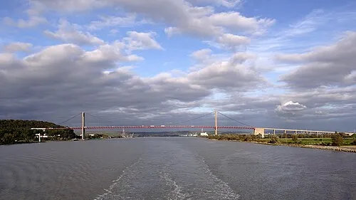 Tancarville Bridge Landmark, Tancarville15 km S
-
Abbaye du Valasse Historic site, Gruchet-le-Valasse7 km S
-
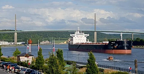 Brotonne Bridge Landmark, Rives-en-Seine19 km SE
-
Bois de la Hèse Natural site, Seine-Maritime12 km S
-
Cap du Hode Natural site, Seine-Maritime18 km SW
-
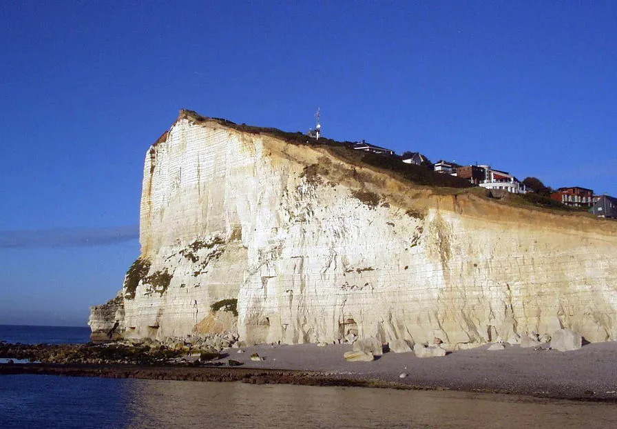 Cap Fagnet Natural site, Normandy21 km NW
Sources & licences
Data last updated: