- Population
- 48,272
- 48.3K
- Elevation
- 895 m
- above sea level
- Local time
- UTC+01:00
- Europe/Paris · UTC+01:00
- Places inside
- 113
- listed under Arrondissement of Foix
- Airports
- LEU Pirineus - la Seu d'Urgel Airport54 km
- CCF Carcassonne Salvaza Airport74 km
About Arrondissement of Foix
Arrondissement of Foix is a municipality. Location: Ariège, Occitanie. Population: 48,272. Elevation: 895 m. The best months to visit are June–September. The nearest airport is Pirineus - la Seu d'Urgel Airport (54 km). Nearby sights include Siguer and Vicdessos.
Photos of Arrondissement of Foix
-
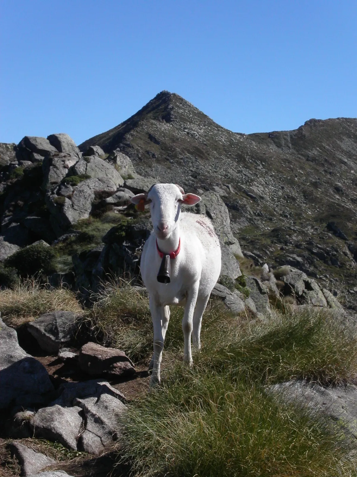
Pic des Trois Seigneurs PierreG_09 · CC BY-SA 2.0 -
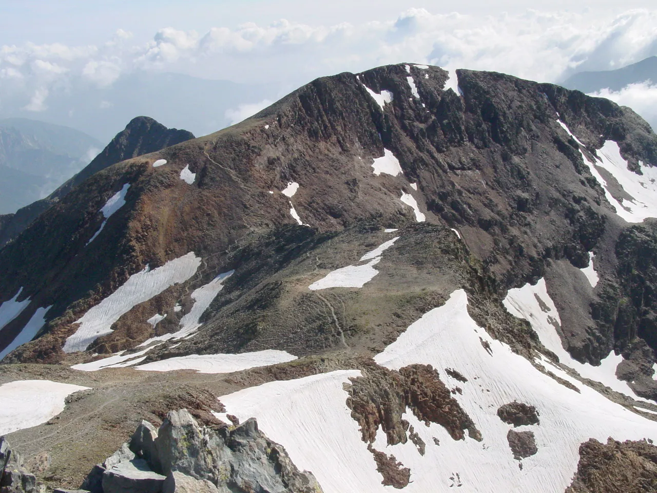
Pic de Montcalm David Edgar · CC BY 2.5


Climate of Arrondissement of Foix
Best months for sightseeingBest months for sightseeing: June–September.
This month · November
A wet month
Day 11° · Night 3° · Rain 112 mm
- Hottest month
- July (day 25°)
- Coldest month
- January (night -1°)
- Wettest month
- May (121 mm)
- Driest month
- July (70 mm)
Bars: average monthly low and high temperature. Below: precipitation. Monthly averages for 1970–2000 at about 18 km resolution, adjusted for elevation. Highlighted months are mild and relatively dry. Source: WorldClim 2.1 (CC BY 4.0).
Show values as a table
| Month | Jan | Feb | Mar | Apr | May | Jun | Jul | Aug | Sep | Oct | Nov | Dec |
|---|---|---|---|---|---|---|---|---|---|---|---|---|
| Average high (°C) | 6° | 8° | 10° | 12° | 17° | 21° | 25° | 25° | 21° | 16° | 11° | 8° |
| Average low (°C) | -1° | 0° | 2° | 3° | 7° | 10° | 13° | 14° | 11° | 7° | 3° | 1° |
| Precipitation (mm) | 93 | 87 | 85 | 98 | 121 | 102 | 70 | 84 | 87 | 109 | 112 | 98 |
Other places to visit in this season: June July August September
How to get to Arrondissement of Foix
The nearest airport is Pirineus - la Seu d'Urgel Airport (LEU), 54 km to the south as the crow flies. For international flights: Toulouse-Blagnac Airport (TLS) (94 km). The nearest large city is Toulouse, 90 km to the north.
Airports
- Pirineus - la Seu d'Urgel Airport (LEU) La Seu d'Urgell Pyrenees and Andorra 54 kmsouth
- Carcassonne Salvaza Airport (CCF) Carcassonne 74 kmnortheast
- Toulouse-Blagnac Airport (TLS) Toulouse/Blagnac 94 kmnorth
Nearby large cities
- Toulouse Population: 511.7K 90 kmnorth
- Perpignan Population: 110.7K 107 kmeast
- Girona Population: 100.3K 136 kmsoutheast
- Terrassa Population: 218.5K 141 kmsouth
- Sabadell Population: 211.7K 146 kmsouth
Straight-line distances; road distances are longer. Airport data: OurAirports.
Day trips from Arrondissement of Foix
Within 100 km: 181 historic and cultural sites, 1,728 natural sites, 251 lakes, rivers and coasts.
0–25 km225 places
- Pica Roja Mountain 25 kmSW
- Pic de Canalbona Mountain 23 kmSW
- Pic dels Tres Comtes Mountain 22 kmSW
- Pic de Baborte Mountain 25 kmSW
25–60 km620 places
- Artigue River 35 kmW
- Estany de Sant Maurici Lake 55 kmSW
- Lago Saburó Lake 57 kmSW
- Estanque Negro Lake 54 kmSW
60–100 km1,315 places
- Esglesia de Sant Esteve de Ginast Attraction 80 kmSW
- Pantà de Sant Antoni Lake 85 kmSW
- Estany de Travessani Lake 63 kmW
- Estanh de Rius Lake 68 kmW
Straight-line distances.
Places in Arrondissement of Foix
113 places- 1 Foix 9.9K
- 2 Varilhes 3.5K
- 3 Tarascon-sur-Ariège 3.1K
- 4 Verniolle 2.4K
- 5 Montgailhard 1.4K
- 6 Saint-Paul-de-Jarrat 1.3K
- 7 Rieux-de-Pelleport 1.3K
- 8 Saint-Jean-de-Verges 1.2K
- 9 Ax-les-Thermes 1.2K
- 10 Mercus-Garrabet 1.2K
- 11 Crampagna 980
- 12 Serres-sur-Arget 819
- 13 Ferrières-sur-Ariège 788
- 14 Dalou 775
- 15 Ganac 759
- 16 Arignac 719
- 17 Vernajoul 701
- 18 Saurat 700
- 19 Saint-Pierre-de-Rivière 622
- 20 Brassac 621
- 21 Auzat 561
- 22 Luzenac 512
- 23 Saint-Félix-de-Rieutord 468
- 24 Val-de-Sos 420
- 25 Montoulieu 415
- 26 Savignac-les-Ormeaux 397
- 27 Rabat-les-Trois-Seigneurs 379
- 28 Saint-Martin-de-Caralp 379
- 29 Prayols 364
- 30 Loubières 359
- 31 Cos 350
- 32 Surba 340
- 33 Les Cabannes 317
- 34 Montégut-Plantaurel 311
- 35 Ussat 307
- 36 Quié 297
- 37 Coussa 268
- 38 Loubens 267
- 39 Ornolac-Ussat-les-Bains 236
- 40 Ventenac 234
- 41 Perles-et-Castelet 218
- 42 Verdun 209
- 43 Arnave 208
- 44 Bompas 200
- 45 Ségura 199
- 46 Aston 197
- 47 Gudas 193
- 48 L'Herm 186
- 49 Soula 183
- 50 Bédeilhac-et-Aynat 178
- 51 Bénac 173
- 52 Capoulet-et-Junac 169
- 53 Mérens-les-Vals 167
- 54 Baulou 164
- 55 Vira 161
- 56 Orlu 157
- 57 Niaux 150
- 58 Celles 143
- 59 Garanou 143
- 60 Miglos 142
Bar: population relative to the most populous place in this list.
Nearby attractions & nature
Everything nearby-
Siguer River, Ariège4 km SW
-
Vicdessos River, Ariège5 km N
-
Forêt de Teillet Natural site, Ariège6.8 km SW
-
Aston River, Ariège6.4 km E
-
Bois de las Bernières Natural site, Ariège8.8 km NE
-
Sirbal River, Ariège8.1 km SE
-
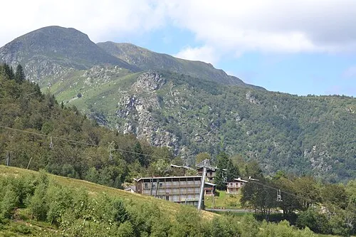 Mont Fourcat Mountain, Montferrier11 km NE
-
Bois de las Lesses Natural site, Ariège9.5 km NW
Sources & licences
Data last updated: