Castanet-le-Haut
Located in Arrondissement of Béziers, Hérault Coordinates: 43°40′05″ N 2°58′18″ E
- Population
- 224
- 224
- Elevation
- 447 m
- above sea level
- Local time
- UTC+01:00
- Europe/Paris · UTC+01:00
- Places inside
- 4
- listed under Castanet-le-Haut
- Airports
- BZR Béziers Vias airport49 km
- DCM Castres Mazamet Airport56 km
About Castanet-le-Haut
Castanet-le-Haut is a village. Location: Arrondissement of Béziers, Hérault. Population: 224. Elevation: 447 m. The best months to visit are June–September. The nearest airport is Béziers Vias airport (49 km). Nearby sights include Plo des Brus and Montagne de Marcou.
Photos of Castanet-le-Haut
-
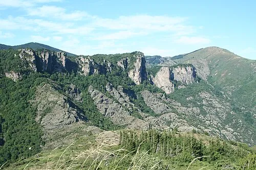
Montagne de Marcou Fagairolles 34 · CC BY-SA 4.0 -
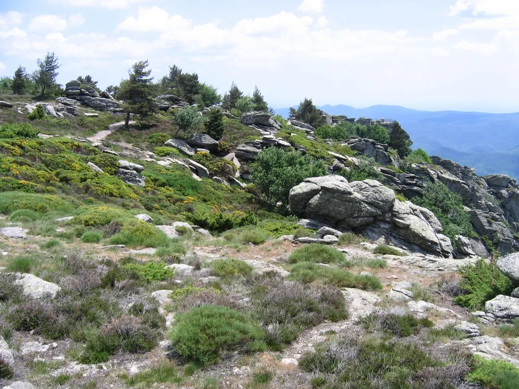
Mont Caroux The original uploader was Hugo.soria at French Wikipedia · CC BY-SA 3.0 -
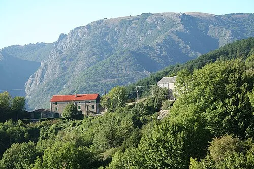
Sommet de l'Espinouse Fagairolles 34 · CC BY-SA 4.0


Climate of Castanet-le-Haut
Best months for sightseeingBest months for sightseeing: June–September.
This month · November
A cold month
Day 12° · Night 5° · Rain 81 mm
- Hottest month
- July (day 26°)
- Coldest month
- January (night 2°)
- Wettest month
- October (101 mm)
- Driest month
- July (37 mm)
Bars: average monthly low and high temperature. Below: precipitation. Monthly averages for 1970–2000 at about 18 km resolution, adjusted for elevation. Highlighted months are mild and relatively dry. Source: WorldClim 2.1 (CC BY 4.0).
Show values as a table
| Month | Jan | Feb | Mar | Apr | May | Jun | Jul | Aug | Sep | Oct | Nov | Dec |
|---|---|---|---|---|---|---|---|---|---|---|---|---|
| Average high (°C) | 8° | 9° | 12° | 14° | 18° | 22° | 26° | 26° | 22° | 17° | 12° | 9° |
| Average low (°C) | 2° | 2° | 4° | 6° | 10° | 13° | 16° | 16° | 13° | 9° | 5° | 3° |
| Precipitation (mm) | 84 | 70 | 61 | 75 | 83 | 63 | 37 | 54 | 72 | 101 | 81 | 86 |
Other places to visit in this season: June July August September
How to get to Castanet-le-Haut
The nearest airport is Béziers Vias airport (BZR), 49 km to the southeast as the crow flies. The nearest large city is Montpellier, 73 km to the east.
Airports
- Béziers Vias airport (BZR) Béziers 49 kmsoutheast
- Castres Mazamet Airport (DCM) Castres 56 kmwest
- Carcassonne Salvaza Airport (CCF) Carcassonne 74 kmsouthwest
Nearby large cities
- Montpellier Population: 248.3K 73 kmeast
- Perpignan Population: 110.7K 108 kmsouth
- Nîmes Population: 148.2K 113 kmeast
- Toulouse Population: 511.7K 124 kmwest
- Girona Population: 100.3K 188 kmsouth
Straight-line distances; road distances are longer. Airport data: OurAirports.
Day trips from Castanet-le-Haut
Within 100 km: 86 historic and cultural sites, 387 natural sites, 195 lakes, rivers and coasts.
0–25 km63 places
- Mont Trois Terres Mountain 14 kmE
- Mont Saint-Amand Mountain 21 kmE
- Mont Peyroux Mountain 22 kmSE
- Montagne de Montmare Mountain 11 kmNE
25–60 km136 places
- Étang de Thau Lake 60 kmSE
- La Grande Maïre Lake 53 kmSE
- Lac du Salagou Lake 32 kmE
- Montagne Noire Mountain 60 kmSW
60–100 km469 places
- Marseillan Plage Beach 61 kmSE
- Plage de l'Espiguette Beach 95 kmE
- Plage du Couchant Beach 90 kmE
- Plage du Grand Travers Beach 88 kmE
Straight-line distances.
Places in Castanet-le-Haut
4 placesBar: population relative to the most populous place in this list.
Mountains & nature2
- Plo de Flamboyau · Mountain
- Sommet de l'Espinouse · Mountain
Heritage & sights1
- Saint-Amans-de-Mounis · Attraction
Nearby attractions & nature
Everything nearby-
Plo des Brus Mountain, Rosis2.3 km S
-
Montagne de Marcou Mountain, Saint-Geniès-de-Varensal4.4 km NE
-
Montagne d'Aret Mountain, Rosis3.7 km S
-
Montagne de Rosis Mountain, Rosis4.6 km S
-
Mont Caroux Mountain, Rosis7 km S
-
Plo de la Mole Mountain, Cambon-et-Salvergues7 km SW
Sources & licences
Data last updated: