Arrondissement of Nice
Located in Alpes-Maritimes, Provence-Alpes-Côte d'Azur Region Coordinates: 44°01′38″ N 7°09′39″ E
- Population
- 536,776
- 536.8K
- Elevation
- 866 m
- above sea level
- Local time
- UTC+01:00
- Europe/Paris · UTC+01:00
- Places inside
- 103
- listed under Arrondissement of Nice
- Airports
- NCE Nice-Côte d'Azur Airport41 km
- CUF Cuneo International Airport69 km
About Arrondissement of Nice
Arrondissement of Nice is a municipality. Location: Alpes-Maritimes, Provence-Alpes-Côte d'Azur Region. Population: 536,776. Elevation: 866 m. The best months to visit are June–September. The nearest airport is Nice-Côte d'Azur Airport (41 km). Nearby sights include Vallon de Clans and Vallon de Brama Fama.
Photos of Arrondissement of Nice
-
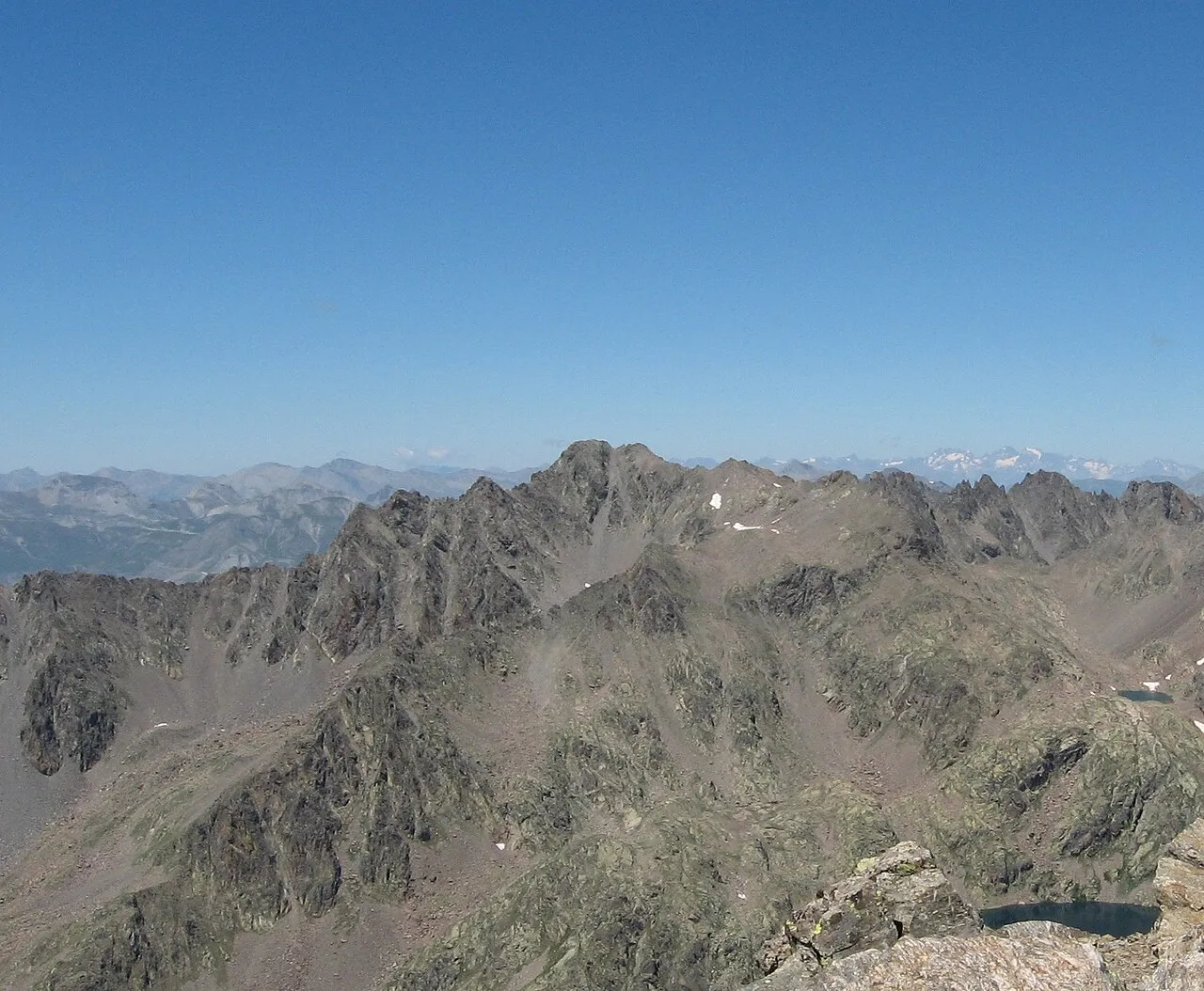
Monte Tenibres Nem80 · CC BY-SA 3.0 -
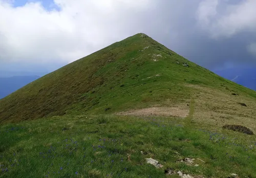
Mont Pepino Pampuco · CC BY-SA 4.0 -
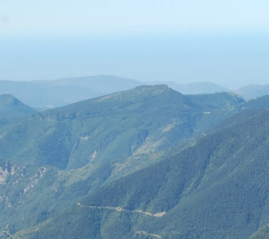
Cime de Peïra-Cava AttentatAlbertCamus · CC BY-SA 3.0 -
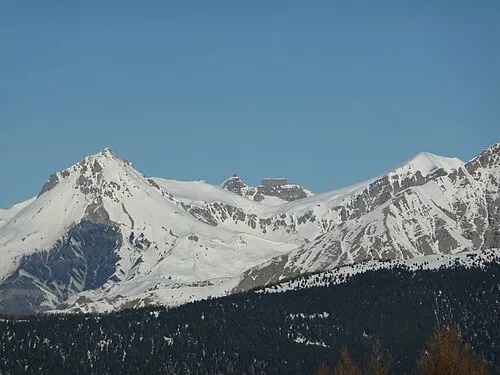
Cime de Pal André Payan-Passeron · CC BY-SA 3.0 -
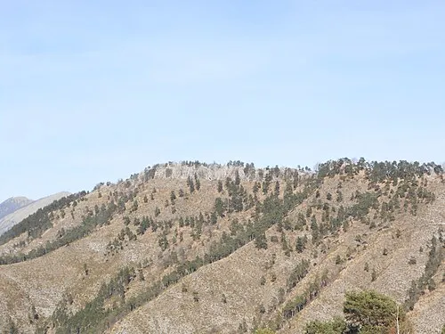
Cime de Gros Braus Gaëlix · CC BY-SA 4.0


Climate of Arrondissement of Nice
Best months for sightseeingBest months for sightseeing: June–September.
This month · November
A wet month
Day 11° · Night 4° · Rain 101 mm
- Hottest month
- July (day 25°)
- Coldest month
- January (night 1°)
- Wettest month
- October (119 mm)
- Driest month
- July (36 mm)
Bars: average monthly low and high temperature. Below: precipitation. Monthly averages for 1970–2000 at about 18 km resolution, adjusted for elevation. Highlighted months are mild and relatively dry. Source: WorldClim 2.1 (CC BY 4.0).
Show values as a table
| Month | Jan | Feb | Mar | Apr | May | Jun | Jul | Aug | Sep | Oct | Nov | Dec |
|---|---|---|---|---|---|---|---|---|---|---|---|---|
| Average high (°C) | 8° | 8° | 11° | 13° | 17° | 21° | 25° | 25° | 21° | 16° | 11° | 9° |
| Average low (°C) | 1° | 1° | 3° | 5° | 9° | 13° | 16° | 16° | 13° | 9° | 4° | 2° |
| Precipitation (mm) | 90 | 73 | 73 | 89 | 86 | 63 | 36 | 54 | 81 | 119 | 101 | 90 |
Other places to visit in this season: June July August September
How to get to Arrondissement of Nice
The nearest airport is Nice-Côte d'Azur Airport (NCE), 41 km to the south as the crow flies. The nearest large city is Nice, 37 km to the south.
Airports
- Nice-Côte d'Azur Airport (NCE) Nice, Alpes-Maritimes 41 kmsouth
- Cuneo International Airport (CUF) Levaldigi (CN) 69 kmnortheast
- Toulon-Hyères Airport (TLN) Hyères, Var 132 kmsouthwest
Nearby large cities
- Nice Population: 342.7K 37 kmsouth
- Toulon Population: 168.7K 141 kmsouthwest
- Aix-en-Provence Population: 146.8K 148 kmwest
- Marseille Population: 877.2K 165 kmsouthwest
- Grenoble Population: 158.6K 172 kmnorthwest
Straight-line distances; road distances are longer. Airport data: OurAirports.
Day trips from Arrondissement of Nice
Within 100 km: 120 historic and cultural sites, 929 natural sites, 210 lakes, rivers and coasts.
0–25 km198 places
- Mont Viovieras Mountain 20 kmSE
- Cime des Vallières Mountain 16 kmE
- Mont Tournairet Mountain 6 kmE
- Tête de Siruol Mountain 8 kmE
25–60 km486 places
- Siagne River 58 kmS
- Plage de Buse Beach 38 kmSE
- Plage Petite Afrique Beach 38 kmS
- Plage des Fourmis Beach 38 kmS
60–100 km575 places
- Clapes River 76 kmNW
- Plage du Grand Boucharel Beach 81 kmSW
- Plage de la Galiote Beach 78 kmSW
- Plage de Saint-Aygulf Beach 77 kmSW
Straight-line distances.
Arrondissement of Nice and similar cities
Side by side with cities of similar size in the same country: population, elevation and climate.
| Measure | Arrondissement of Nice | Lyon | Toulouse | Nice |
|---|---|---|---|---|
| Population | 536.8K | 520.8K | 511.7K | 342.7K |
| Elevation | 866 m | 173 m | 150 m | 25 m |
| Summer day (hottest month) | 25° | 27° | 28° | 28° |
| Winter night (coldest month) | 1° | 1° | 2° | 5° |
| Annual rainfall | 955 mm | 844 mm | 683 mm | 807 mm |
| Best months | Jun–Sep | May–Sep | May–Oct | May–Sep |
| Distance | — | 265 km | 462 km | 37 km |
Climate values are 1970–2000 monthly averages; straight-line distance.
Places in Arrondissement of Nice
103 places- 1 Nice 342.6K
- 2 Menton 28.5K
- 3 Beausoleil 13.9K
- 4 Roquebrune-Cap-Martin 12.9K
- 5 La Trinité 10.1K
- 6 Contes 7.4K
- 7 Saint-André-de-la-Roche 5.3K
- 8 Villefranche-sur-Mer 5.1K
- 9 Tourrette-Levens 4.9K
- 10 Levens 4.7K
- 11 Cap-d'Ail 4.7K
- 12 Drap 4.5K
- 13 Sospel 3.8K
- 14 Beaulieu-sur-Mer 3.7K
- 15 Colomars 3.4K
- 16 La Turbie 3.1K
- 17 Saint-Martin-du-Var 2.9K
- 18 L'Escarène 2.5K
- 19 Peille 2.4K
- 20 Èze 2.3K
- 21 Tende 2.2K
- 22 Breil-sur-Roya 2.2K
- 23 Aspremont 2.1K
- 24 Falicon 2K
- 25 Puget-Théniers 1.9K
- 26 Roquebillière 1.8K
- 27 Saint-Jean-Cap-Ferrat 1.6K
- 28 Castagniers 1.6K
- 29 Gilette 1.6K
- 30 Saint-Étienne-de-Tinée 1.6K
- 31 Blausasc 1.5K
- 32 Peillon 1.5K
- 33 Gorbio 1.5K
- 34 Saint-Martin-Vésubie 1.4K
- 35 Cantaron 1.3K
- 36 Lantosque 1.3K
- 37 Lucéram 1.3K
- 38 Sainte-Agnès 1.3K
- 39 Berre-les-Alpes 1.3K
- 40 Castellar 1.1K
- 41 Saint-Blaise 1K
- 42 Bendejun 955
- 43 La Roquette-sur-Var 923
- 44 Châteauneuf-Villevieille 922
- 45 Utelle 853
- 46 Valdeblore 851
- 47 Coaraze 837
- 48 Péone 798
- 49 Villars-sur-Var 757
- 50 Bonson 737
- 51 La Brigue 698
- 52 Isola 697
- 53 Belvédère 674
- 54 Touët-sur-Var 673
- 55 Guillaumes 636
- 56 Clans 614
- 57 Roquestéron 583
- 58 La Bollène-Vésubie 579
- 59 La Tour 573
- 60 Beuil 510
Bar: population relative to the most populous place in this list.
Nearby attractions & nature
Everything nearby-
Vallon de Clans Natural site, Alpes-Maritimes3.5 km S
-
Vallon de Brama Fama Natural site, Alpes-Maritimes4.4 km N
-
Vallon de la Douina Natural site, Alpes-Maritimes5 km W
-
Boulinette River, Alpes-Maritimes4.5 km N
-
Forêt du Villars Natural site, Alpes-Maritimes7.5 km SW
-
Vallon de Boréon Natural site, Alpes-Maritimes9.5 km NE
-
Vallon de Villette Natural site, Alpes-Maritimes10 km W
-
Torrent la Vionène River, Alpes-Maritimes7.9 km NW
Other cities and towns in Alpes-Maritimes
-
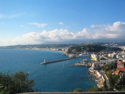 Nice City, Nice37 km S
-
Arrondissement of Grasse Municipality, Alpes-Maritimes37 km SW
-
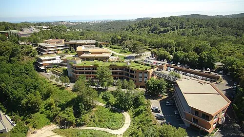 Sophia Antipolis Town, Valbonne46 km S
-
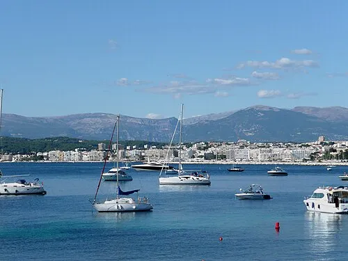 Juan-les-Pins Town, Antibes51 km S
-
Contes Town, Contes27 km SE
-
Vence Town, Vence34 km S
Sources & licences
Data last updated: