Cap de Rascasse
Located in Provence-Alpes-Côte d'Azur Region, France Coordinates: 43°41′00″ N 7°18′00″ E
- Local time
- UTC+01:00
- Europe/Paris · UTC+01:00
- Airports
- NCE Nice-Côte d'Azur Airport7 km
- CUF Cuneo International Airport99 km
About Cap de Rascasse
Cap de Rascasse is a natural site. Location: Provence-Alpes-Côte d'Azur Region, France. The best months to visit are June–September. The nearest airport is Nice-Côte d'Azur Airport (7 km). Nearby sights include Mont Boron and Cap de Nice.
Photos of Cap de Rascasse
-
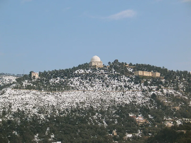
Mont Gros Wikimedia Commons · CC BY-SA 2.5 -
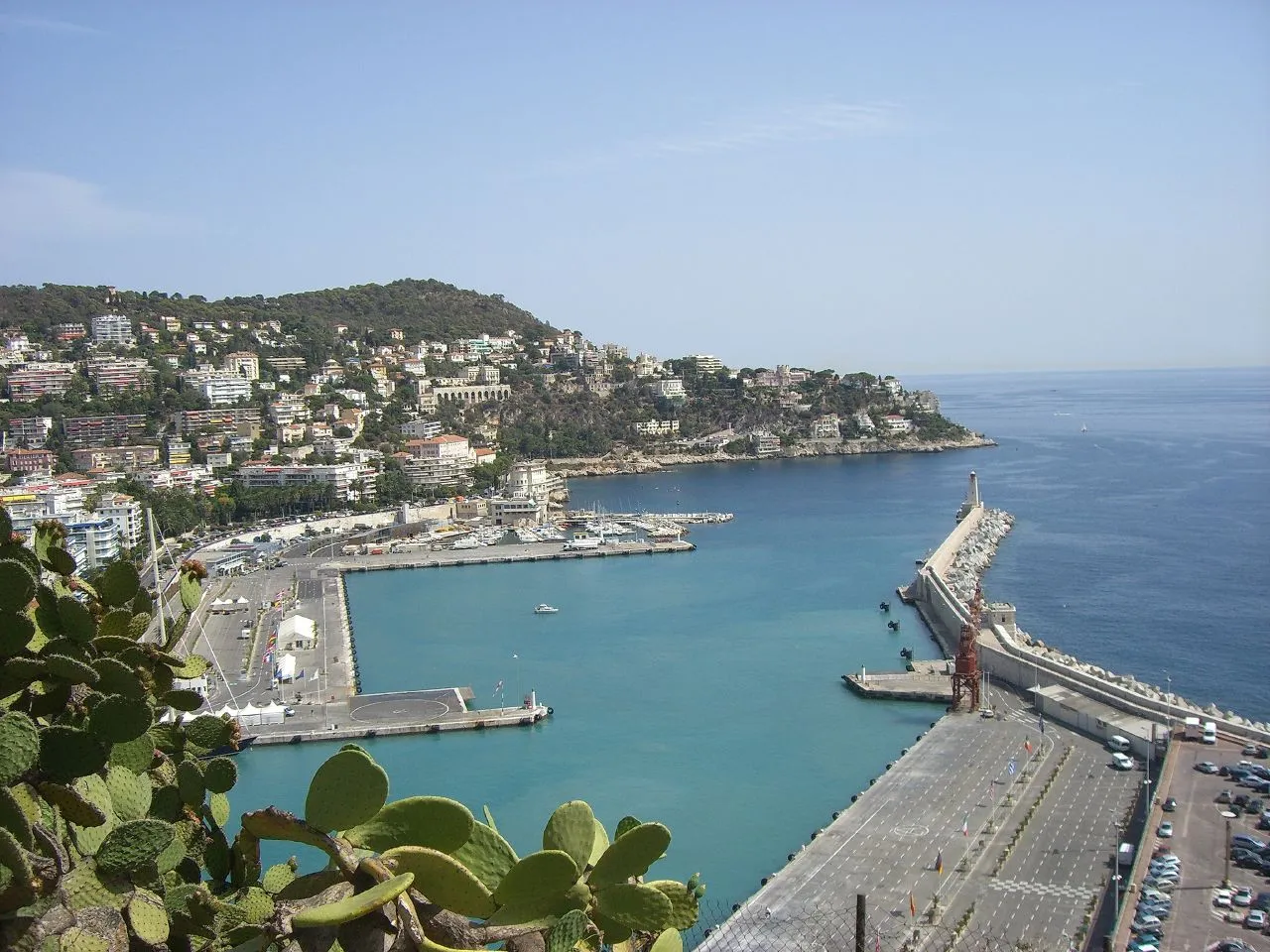
Mont Boron CHRIS BONTEMPS · CC BY-SA 2.0 -
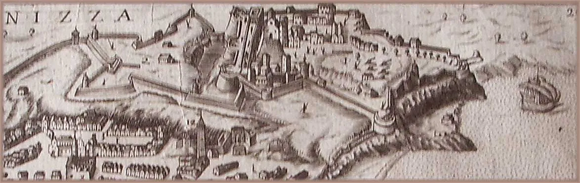
Colline de Nice Unknown author Unknown author · Public domain -
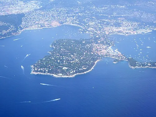
Cap Ferrat Abxbay · CC BY-SA 4.0 -
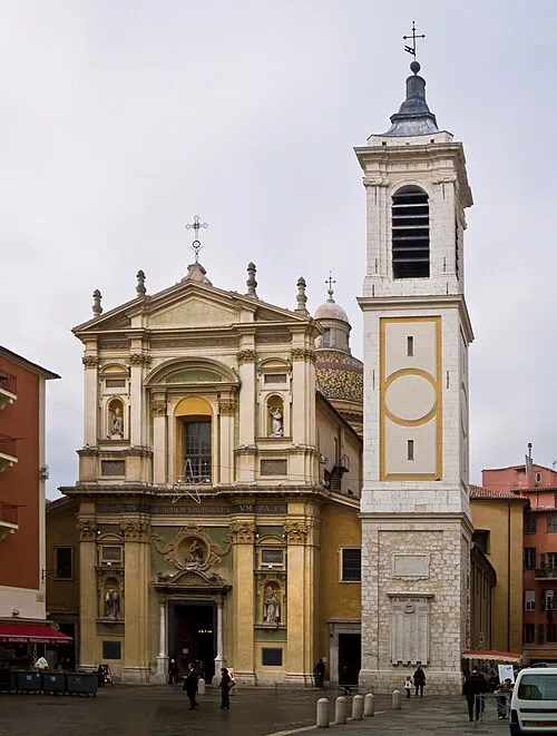
Nice Cathedral Myrabella · CC BY-SA 3.0


Climate of Cap de Rascasse
Best months for sightseeingBest months for sightseeing: June–September.
This month · November
Outside the best season
Day 14° · Night 7° · Rain 96 mm
- Hottest month
- August (day 26°)
- Coldest month
- January (night 4°)
- Wettest month
- October (132 mm)
- Driest month
- July (17 mm)
Bars: average monthly low and high temperature. Below: precipitation. Monthly averages for 1970–2000 at about 18 km resolution, adjusted for elevation. Highlighted months are mild and relatively dry. Source: WorldClim 2.1 (CC BY 4.0).
Show values as a table
| Month | Jan | Feb | Mar | Apr | May | Jun | Jul | Aug | Sep | Oct | Nov | Dec |
|---|---|---|---|---|---|---|---|---|---|---|---|---|
| Average high (°C) | 11° | 12° | 14° | 15° | 19° | 23° | 26° | 26° | 23° | 19° | 14° | 12° |
| Average low (°C) | 4° | 4° | 6° | 9° | 12° | 16° | 19° | 19° | 16° | 12° | 7° | 5° |
| Precipitation (mm) | 83 | 60 | 60 | 68 | 56 | 43 | 17 | 32 | 76 | 132 | 96 | 84 |
Other places to visit in this season: June July August September
How to get to Cap de Rascasse
The nearest airport is Nice-Côte d'Azur Airport (NCE), 7 km to the west as the crow flies. The nearest large city is Nice, 4 km to the northwest.
Airports
- Nice-Côte d'Azur Airport (NCE) Nice, Alpes-Maritimes 7 kmwest
- Cuneo International Airport (CUF) Levaldigi (CN) 99 kmnorth
- Toulon-Hyères Airport (TLN) Hyères, Var 114 kmsouthwest
Nearby large cities
- Nice Population: 342.7K 4 kmnorthwest
- Toulon Population: 168.7K 127 kmsouthwest
- Aix-en-Provence Population: 146.8K 150 kmwest
- Marseille Population: 877.2K 161 kmwest
- Grenoble Population: 158.6K 209 kmnorthwest
Straight-line distances; road distances are longer. Airport data: OurAirports.
Day trips from Cap de Rascasse
Within 100 km: 105 historic and cultural sites, 688 natural sites, 145 lakes, rivers and coasts.
0–25 km177 places
- Plage de Buse Beach 15 kmNE
- Plage Petite Afrique Beach 4 kmNE
- Plage des Fourmis Beach 3 kmNE
- Neptune Plage Beach 4 kmW
25–60 km379 places
- Siagne River 33 kmSW
- Plage du Grand Boucharel Beach 58 kmSW
- Plage de la Galiote Beach 56 kmSW
- Plage de Saint-Aygulf Beach 55 kmSW
60–100 km382 places
- Plage de Gigaro Beach 79 kmSW
- Plage d'Héraclée Beach 80 kmSW
- Plage de Sylvabelle Beach 80 kmSW
- Plage des Trois Pins Beach 83 kmSW
Straight-line distances.
Nearest towns and villages
-
Nice Village, Arrondissement of Nice3.3 km NW
-
Quartier de Mont-Boron Neighbourhood, Nice1.2 km N
-
Mont-Alban Neighbourhood, Nice2 km N
-
Quartier du Port Neighbourhood, Nice2.2 km NW
-
Villefranche-sur-Mer Village, Arrondissement of Nice2.5 km N
-
Riquier Neighbourhood, Nice2.6 km NW
Nearby attractions & nature
Everything nearby-
Mont Boron Mountain, Nice0.8 km N
-
Cap de Nice Natural site, Provence-Alpes-Côte d'Azur Region0.6 km NW
-
Colline de Nice Mountain, Nice2.1 km NW
-
Cap Ferrat Natural site, Saint-Jean-Cap-Ferrat2.4 km SE
-
Mont Alban Mountain, Nice1.9 km N
-
Parc de la colline du château Natural site, Nice2 km NW
-
Parc Castel des Deux Rois Natural site, Nice2 km N
-
Le Château Mountain, Nice2.3 km NW
More nature in France
-
Mont Gros Mountain, La Trinité5 km N
-
Mont Leuze Mountain, Villefranche-sur-Mer4.6 km NE
-
Mont Fourche Mountain, Èze6 km NE
-
Jardin Albert 1er Natural site, Nice2.9 km NW
-
Mont Bastide Mountain, Èze6.6 km NE
-
Parc de Valrose Natural site, Nice4.6 km NW
Sources & licences
Data last updated: · 2 independent sources