Mont Cruvelier
Located in Provence-Alpes-Côte d'Azur Region, France Coordinates: 43°16′58″ N 5°39′04″ E
- Elevation
- 416 m
- above sea level
- Local time
- UTC+01:00
- Europe/Paris · UTC+01:00
- Airports
- MRS Marseille Provence Airport40 km
- TLN Toulon-Hyères Airport45 km
About Mont Cruvelier
Mont Cruvelier is a mountain. Location: Provence-Alpes-Côte d'Azur Region, France. Elevation: 416 m. The best months to visit are May–July, September. The nearest airport is Marseille Provence Airport (40 km). Nearby sights include Sommet du Brigou and Mont Cruvelier.
Photos of Mont Cruvelier
-
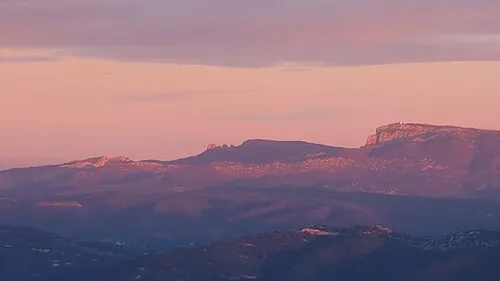
Roque Forcade Rémih · CC BY-SA 4.0 -
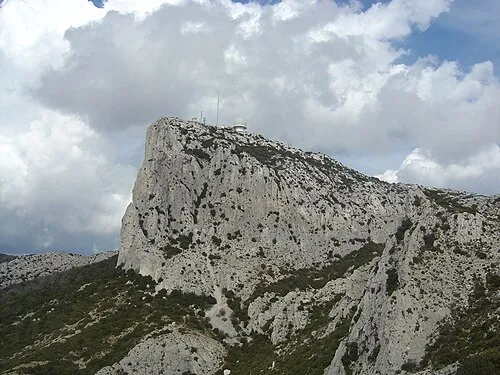
Bertagne Anthospace · CC BY-SA 3.0


Climate of Mont Cruvelier
Best months for sightseeingBest months for sightseeing: May–July, September.
This month · November
Outside the best season
Day 13° · Night 6° · Rain 67 mm
- Hottest month
- July (day 27°)
- Coldest month
- January (night 3°)
- Wettest month
- October (100 mm)
- Driest month
- July (9 mm)
Bars: average monthly low and high temperature. Below: precipitation. Monthly averages for 1970–2000 at about 18 km resolution, adjusted for elevation. Highlighted months are mild and relatively dry. Source: WorldClim 2.1 (CC BY 4.0).
Show values as a table
| Month | Jan | Feb | Mar | Apr | May | Jun | Jul | Aug | Sep | Oct | Nov | Dec |
|---|---|---|---|---|---|---|---|---|---|---|---|---|
| Average high (°C) | 10° | 11° | 13° | 16° | 20° | 24° | 27° | 27° | 23° | 18° | 13° | 11° |
| Average low (°C) | 3° | 3° | 4° | 7° | 10° | 14° | 16° | 16° | 13° | 10° | 6° | 4° |
| Precipitation (mm) | 72 | 52 | 48 | 60 | 46 | 31 | 9 | 35 | 63 | 100 | 67 | 64 |
Other places to visit in this season: May June July September
How to get to Mont Cruvelier
The nearest airport is Marseille Provence Airport (MRS), 40 km to the northwest as the crow flies. The nearest large city is Marseille, 22 km to the west.
Airports
- Marseille Provence Airport (MRS) Marignane, Bouches-du-Rhône 40 kmnorthwest
- Toulon-Hyères Airport (TLN) Hyères, Var 45 kmsoutheast
- Avignon Caumont airport (AVN) Avignon 92 kmnorthwest
Nearby large cities
- Marseille Population: 877.2K 22 kmwest
- Toulon Population: 168.7K 29 kmsoutheast
- Aix-en-Provence Population: 146.8K 32 kmnorthwest
- Nîmes Population: 148.2K 121 kmnorthwest
- Nice Population: 342.7K 139 kmeast
Straight-line distances; road distances are longer. Airport data: OurAirports.
Day trips from Mont Cruvelier
Within 100 km: 119 historic and cultural sites, 467 natural sites, 197 lakes, rivers and coasts.
0–25 km136 places
- Plages du Prado Beach 23 kmW
- Plage de la Madrague Beach 13 kmS
- La Grande Plage Beach 11 kmS
- Plage du Bestouan Beach 12 kmSW
25–60 km263 places
- Plage de l'Estagnol Beach 56 kmE
- Plage des Salins Beach 47 kmSE
- Plage des Darboussières Beach 47 kmSE
- Plage de l'Almanarre Beach 45 kmSE
60–100 km384 places
- Plage du Grand Boucharel Beach 87 kmE
- Plage de la Galiote Beach 88 kmE
- Plage de Saint-Aygulf Beach 89 kmE
- Plage de Fréjus Beach 90 kmE
Straight-line distances.
Nearest towns and villages
-
Gémenos Village, Arrondissement of Marseille2.4 km NW
-
Cuges-les-Pins Village, Arrondissement of Marseille4.1 km E
-
Gémenos Town, Gémenos2.5 km NW
-
Cuges-les-Pins Village, Cuges-les-Pins4 km E
-
Aubagne Village, Arrondissement of Marseille6.6 km W
-
Roquefort-la-Bédoule Village, Arrondissement of Marseille6.3 km SW
Nearby attractions & nature
Everything nearby-
Sommet du Brigou Mountain, Gémenos0.3 km W
-
Mont Cruvelier Mountain, Gémenos0.7 km SE
-
Grande Tête Mountain, Gémenos2.2 km N
-
Sommet du Douard Mountain, Roquefort-la-Bédoule2.8 km SW
-
Bertagne Mountain, Gémenos4.5 km NE
-
Roque Forcade Mountain, Gémenos4.2 km N
-
Colline du Vieux Roquefort Mountain, Roquefort-la-Bédoule4.2 km S
-
Tête de Roussargue Mountain, Gémenos4.4 km N
More nature in France
-
Montounier Mountain, Roquefort-la-Bédoule5.3 km SW
-
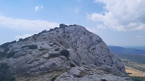 Saint-Pilon Mountain, Riboux11 km NE
-
Rocs de la Caïre Mountain, Var9.5 km NE
-
Mont du Marseillais Mountain, Roquevaire10 km NW
-
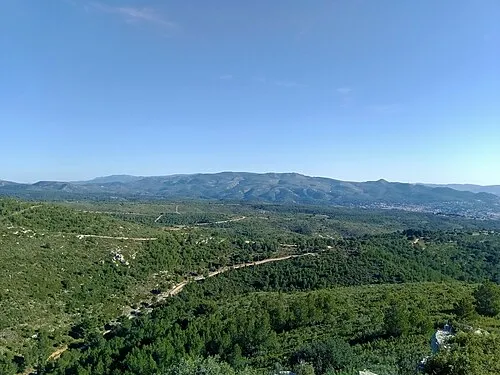 Pic du Taoumé Mountain, Allauch12 km NW
-
La Candolle Mountain, Aubagne11 km W
Sources & licences
Data last updated: · 2 independent sources