Landkreis Breisgau-Hochschwarzwald
Located in Freiburg Region, Baden-Wurttemberg Coordinates: 47°58′05″ N 7°57′58″ E
- Population
- 272,558
- 272.6K
- Elevation
- 394 m
- above sea level
- Local time
- UTC+01:00
- Europe/Berlin · UTC+01:00
- Places inside
- 50
- listed under Landkreis Breisgau-Hochschwarzwald
- Airports
- BSL EuroAirport Basel–Mulhouse–Freiburg53 km
- SXB Strasbourg Airport68 km
About Landkreis Breisgau-Hochschwarzwald
Landkreis Breisgau-Hochschwarzwald is a municipality. Location: Freiburg Region, Baden-Wurttemberg. Population: 272,558. Elevation: 394 m. The best months to visit are June–August. The nearest airport is EuroAirport Basel–Mulhouse–Freiburg (53 km). Nearby sights include Wagensteigbach and Höllenbach.
Photos of Landkreis Breisgau-Hochschwarzwald
-
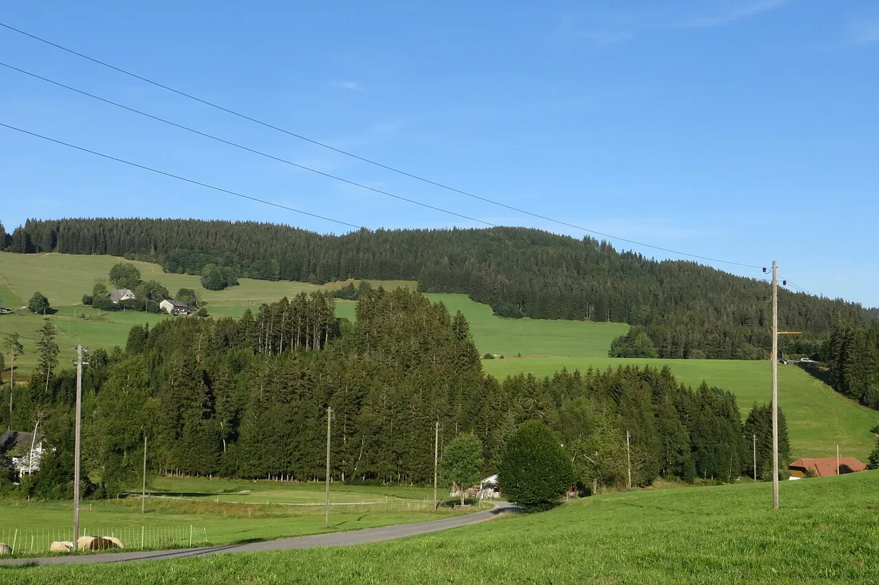
Weißtannenhöhe Bermicourt · CC BY-SA 4.0 -
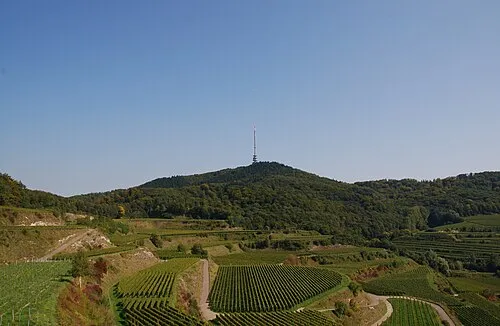
Totenkopf Wladyslaw · CC BY-SA 3.0 -
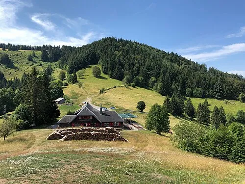
Sirnitz Adrian Michael · CC BY-SA 3.0 -
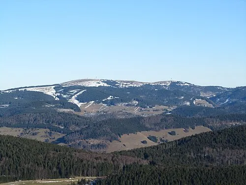
Seebuck J. Braukmann Milseburg · CC BY-SA 3.0 -
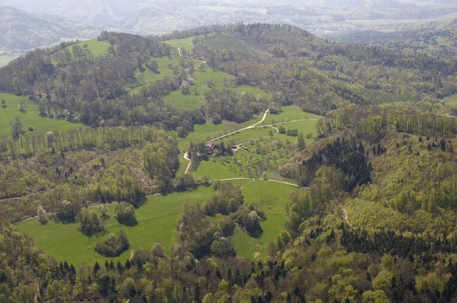
Schönberg Thomas Berwing · CC BY 3.0


Climate of Landkreis Breisgau-Hochschwarzwald
Best months for sightseeingBest months for sightseeing: June–August.
This month · November
A wet month
Day 9° · Night 2° · Rain 138 mm
- Hottest month
- July (day 23°)
- Coldest month
- January (night -1°)
- Wettest month
- December (151 mm)
- Driest month
- September (100 mm)
Bars: average monthly low and high temperature. Below: precipitation. Monthly averages for 1970–2000 at about 18 km resolution, adjusted for elevation. Highlighted months are mild and relatively dry. Source: WorldClim 2.1 (CC BY 4.0).
Show values as a table
| Month | Jan | Feb | Mar | Apr | May | Jun | Jul | Aug | Sep | Oct | Nov | Dec |
|---|---|---|---|---|---|---|---|---|---|---|---|---|
| Average high (°C) | 5° | 6° | 9° | 12° | 17° | 21° | 23° | 23° | 19° | 14° | 9° | 6° |
| Average low (°C) | -1° | -1° | 2° | 4° | 8° | 11° | 14° | 13° | 10° | 6° | 2° | 0° |
| Precipitation (mm) | 126 | 121 | 110 | 110 | 129 | 136 | 129 | 107 | 100 | 123 | 138 | 151 |
How to get to Landkreis Breisgau-Hochschwarzwald
The nearest airport is EuroAirport Basel–Mulhouse–Freiburg (BSL), 53 km to the southwest as the crow flies. The nearest large city is Freiburg im Breisgau, 9 km to the west.
Airports
- EuroAirport Basel–Mulhouse–Freiburg (BSL) Bâle / Mulhouse 53 kmsouthwest
- Strasbourg Airport (SXB) Strasbourg 68 kmnorth
- Zürich Airport (ZRH) Zurich 72 kmsoutheast
Nearby large cities
- Freiburg im Breisgau Population: 237.5K 9 kmwest
- Mulhouse Population: 111.4K 53 kmsouthwest
- Basel Population: 177.6K 54 kmsouthwest
- Strasbourg Population: 274.8K 70 kmnorth
- Winterthur Population: 111.8K 77 kmsoutheast
Straight-line distances; road distances are longer. Airport data: OurAirports.
Day trips from Landkreis Breisgau-Hochschwarzwald
Within 100 km: 616 historic and cultural sites, 2,201 natural sites, 638 lakes, rivers and coasts.
0–25 km339 places
- Titisee Lake 16 kmSE
- Schluchsee Lake 22 kmSE
- Feld See Lake 12 kmSE
- Tunisee Lake 16 kmNW
25–60 km950 places
- Rheinhafen Kleinhüningen Lake 51 kmSW
- Eetelweier Lake 55 kmSE
- Neuer Teich Lake 50 kmSW
- Oelisee Lake 59 kmSW
60–100 km2,166 places
- Mainau Island 97 kmE
- Fahr Abbey Attraction 72 kmSE
- Dominikanerinsel Konstanz Island 97 kmE
- Strandbad Steckborn Beach 83 kmSE
Straight-line distances.
Landkreis Breisgau-Hochschwarzwald and similar cities
Side by side with cities of similar size in the same country: population, elevation and climate.
| Measure | Landkreis Breisgau-Hochschwarzwald | Gelsenkirchen | Aachen | Karlsruhe |
|---|---|---|---|---|
| Population | 272.6K | 270K | 265.2K | 283.8K |
| Elevation | 394 m | 48 m | 266 m | 118 m |
| Summer day (hottest month) | 23° | 24° | 22° | 25° |
| Winter night (coldest month) | -1° | 0° | -1° | -1° |
| Annual rainfall | 1,480 mm | 872 mm | 907 mm | 765 mm |
| Best months | Jun–Aug | Jun–Aug | Jun–Aug | May–Sep |
| Distance | — | 398 km | 341 km | 120 km |
Climate values are 1970–2000 monthly averages; straight-line distance.
Places in Landkreis Breisgau-Hochschwarzwald
50 places- 1 Bad Krozingen 21.8K
- 2 Müllheim 20.1K
- 3 Breisach am Rhein 16.5K
- 4 Titisee-Neustadt 12.8K
- 5 Neuenburg am Rhein 12.7K
- 6 Gundelfingen 12.2K
- 7 Kirchzarten 10.3K
- 8 March 9.3K
- 9 Staufen im Breisgau 8.5K
- 10 Ehrenkirchen 7.8K
- 11 Löffingen 7.7K
- 12 Schallstadt 6.9K
- 13 Heitersheim 6.6K
- 14 Ihringen 6.3K
- 15 Vogtsburg im Kaiserstuhl 6.2K
- 16 Umkirch 5.8K
- 17 Merzhausen 5.6K
- 18 Bötzingen 5.5K
- 19 Lenzkirch 5.2K
- 20 Münstertal 5K
- 21 Hartheim 4.9K
- 22 Badenweiler 4.6K
- 23 Buggingen 4.4K
- 24 Stegen 4.4K
- 25 Eichstetten am Kaiserstuhl 3.8K
- 26 Glottertal 3.2K
- 27 Gottenheim 3.2K
- 28 Buchenbach 3.1K
- 29 Ebringen 2.9K
- 30 Auggen 2.8K
- 31 Sulzburg 2.8K
- 32 Oberried 2.8K
- 33 St. Peter 2.7K
- 34 Merdingen 2.7K
- 35 Pfaffenweiler 2.6K
- 36 Schluchsee 2.6K
- 37 Hinterzarten 2.5K
- 38 Ballrechten-Dottingen 2.5K
- 39 Eschbach 2.5K
- 40 Bollschweil 2.3K
- 41 Eisenbach (Hochschwarzwald) 2.1K
- 42 Friedenweiler 2K
- 43 St. Märgen 2K
- 44 Feldberg 2K
- 45 Breitnau 1.8K
- 46 Au 1.5K
- 47 Wittnau 1.5K
- 48 Sölden 1.3K
- 49 Horben 1.2K
- 50 Heuweiler 1.2K
Bar: population relative to the most populous place in this list.
Nearby attractions & nature
Everything nearby-
Wagensteigbach River, Baden-Wurttemberg0.8 km NW
-
Höllenbach River, Baden-Wurttemberg1 km SE
-
Zastlerbach River, Baden-Wurttemberg1.3 km W
-
Ibenbach River, Baden-Wurttemberg1.9 km E
-
Laubisköpfle Mountain, Freiburg im Breisgau3.6 km SW
-
Krummbach River, Baden-Wurttemberg3.4 km W
-
Brugga River, Baden-Wurttemberg3.7 km W
-
Eichkopf Mountain, Freiburg im Breisgau6.1 km W
Sources & licences
Data last updated: