Landkreis Emmendingen
Located in Freiburg Region, Baden-Wurttemberg Coordinates: 48°08′59″ N 7°53′08″ E
- Population
- 169,787
- 169.8K
- Elevation
- 352 m
- above sea level
- Local time
- UTC+01:00
- Europe/Berlin · UTC+01:00
- Places inside
- 24
- listed under Landkreis Emmendingen
- Airports
- SXB Strasbourg Airport47 km
- BSL EuroAirport Basel–Mulhouse–Freiburg67 km
About Landkreis Emmendingen
Landkreis Emmendingen is a municipality. Location: Freiburg Region, Baden-Wurttemberg. Population: 169,787. Elevation: 352 m. The best months to visit are June–September. The nearest airport is Strasbourg Airport (47 km). Nearby sights include Hochwald and Vier Dörfer Wald.
Photos of Landkreis Emmendingen
-
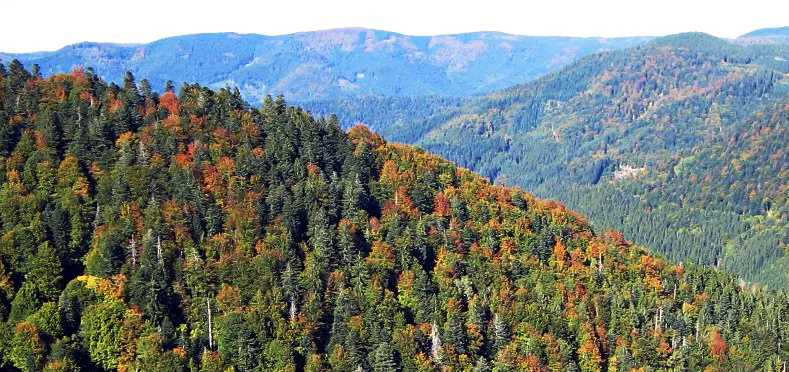
Obereck WWasser · CC BY-SA 3.0 -
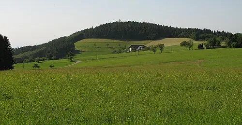
Hünersedel Adrian Thomale · CC BY-SA 3.0 -
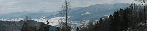
Hörnleberg Kopoltra · CC BY-SA 3.0 -
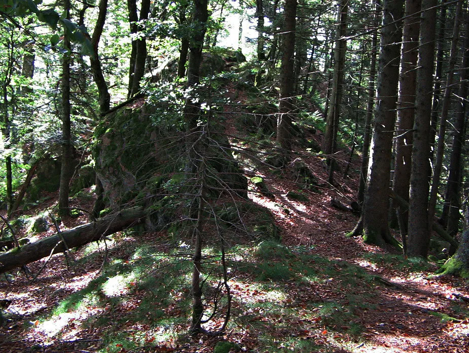
Schultiskopf WWasser · CC BY-SA 3.0 -
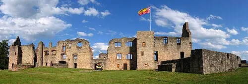
Hochburg Wikimedia Commons · CC BY-SA 3.0


Climate of Landkreis Emmendingen
Best months for sightseeingBest months for sightseeing: June–September.
This month · November
A cold month
Day 8° · Night 2° · Rain 85 mm
- Hottest month
- July (day 24°)
- Coldest month
- January (night -1°)
- Wettest month
- June (111 mm)
- Driest month
- March (68 mm)
Bars: average monthly low and high temperature. Below: precipitation. Monthly averages for 1970–2000 at about 18 km resolution, adjusted for elevation. Highlighted months are mild and relatively dry. Source: WorldClim 2.1 (CC BY 4.0).
Show values as a table
| Month | Jan | Feb | Mar | Apr | May | Jun | Jul | Aug | Sep | Oct | Nov | Dec |
|---|---|---|---|---|---|---|---|---|---|---|---|---|
| Average high (°C) | 4° | 6° | 10° | 13° | 18° | 21° | 24° | 24° | 19° | 14° | 8° | 5° |
| Average low (°C) | -1° | -1° | 2° | 5° | 9° | 12° | 14° | 14° | 10° | 6° | 2° | 0° |
| Precipitation (mm) | 70 | 69 | 68 | 78 | 107 | 111 | 105 | 87 | 79 | 85 | 85 | 89 |
Other places to visit in this season: June July August September
How to get to Landkreis Emmendingen
The nearest airport is Strasbourg Airport (SXB), 47 km to the northwest as the crow flies. The nearest large city is Freiburg im Breisgau, 17 km to the south.
Airports
- Strasbourg Airport (SXB) Strasbourg 47 kmnorthwest
- EuroAirport Basel–Mulhouse–Freiburg (BSL) Bâle / Mulhouse 67 kmsouthwest
- Karlsruhe Baden-Baden Airport (FKB) Rheinmünster 71 kmnorth
Nearby large cities
- Freiburg im Breisgau Population: 237.5K 17 kmsouth
- Strasbourg Population: 274.8K 49 kmnorth
- Mulhouse Population: 111.4K 61 kmsouthwest
- Basel Population: 177.6K 70 kmsouth
- Winterthur Population: 111.8K 95 kmsoutheast
Straight-line distances; road distances are longer. Airport data: OurAirports.
Day trips from Landkreis Emmendingen
Within 100 km: 599 historic and cultural sites, 2,446 natural sites, 609 lakes, rivers and coasts.
0–25 km262 places
- Tunisee Lake 11 kmSW
- Vögelestein Mountain 7 kmSE
- Schillinger Berg Mountain 7 kmNE
- Roßkopf Mountain 15 kmS
25–60 km1,114 places
- Unditz River 32 kmN
- Rench River 59 kmN
- Titisee Lake 34 kmSE
- Schluchsee Lake 43 kmSE
60–100 km2,278 places
- Fahr Abbey Attraction 92 kmSE
- Strandbad Steckborn Beach 98 kmSE
- Arbeiterstrandbad Tennwil Beach 97 kmS
- Insel Werd Island 92 kmSE
Straight-line distances.
Landkreis Emmendingen and similar cities
Side by side with cities of similar size in the same country: population, elevation and climate.
| Measure | Landkreis Emmendingen | Herne | Darmstadt | Mülheim |
|---|---|---|---|---|
| Population | 169.8K | 172.1K | 167K | 173K |
| Elevation | 352 m | 67 m | 148 m | 40 m |
| Summer day (hottest month) | 24° | 24° | 25° | 23° |
| Winter night (coldest month) | -1° | 0° | -1° | 1° |
| Annual rainfall | 1,033 mm | 888 mm | 638 mm | 883 mm |
| Best months | Jun–Sep | Jun–Aug | May–Sep | Jun–Aug |
| Distance | — | 380 km | 199 km | 372 km |
Climate values are 1970–2000 monthly averages; straight-line distance.
Places in Landkreis Emmendingen
24 places- 1 Emmendingen 29.5K
- 2 Waldkirch 21.5K
- 3 Denzlingen 13.7K
- 4 Teningen 11.9K
- 5 Herbolzheim 10.8K
- 6 Kenzingen 10.7K
- 7 Endingen am Kaiserstuhl 10.4K
- 8 Elzach 7.5K
- 9 Gutach im Breisgau 4.6K
- 10 Bahlingen am Kaiserstuhl 4.5K
- 11 Rheinhausen 4.3K
- 12 Freiamt 4.2K
- 13 Riegel am Kaiserstuhl 4.1K
- 14 Wyhl am Kaiserstuhl 4K
- 15 Sexau 3.6K
- 16 Sasbach am Kaiserstuhl 3.5K
- 17 Malterdingen 3.5K
- 18 Vörstetten 3.2K
- 19 Reute 3K
- 20 Simonswald 2.9K
- 21 Winden im Elztal 2.9K
- 22 Weisweil 2.2K
- 23 Biederbach 1.8K
- 24 Forchheim am Kaiserstuhl 1.4K
Bar: population relative to the most populous place in this list.
Nearby attractions & nature
Everything nearby-
Hochwald Natural site, Baden-Wurttemberg2.7 km NW
-
Vier Dörfer Wald Natural site, Baden-Wurttemberg3 km NW
-
Peterswald Natural site, Baden-Wurttemberg4.3 km SE
-
Brettenbach River, Baden-Wurttemberg4.6 km SW
-
Fernecker Tal Natural site, Baden-Wurttemberg6 km W
-
Weißbach River, Baden-Wurttemberg5.1 km SW
-
Muckental Natural site, Baden-Wurttemberg7.4 km N
-
Teninger Allmend Natural site, Baden-Wurttemberg7.4 km SW
Sources & licences
Data last updated: