Deilingen
Located in Landkreis Tuttlingen, Freiburg Region Coordinates: 48°10′27″ N 8°47′07″ E
- Population
- 1,877
- 1.9K
- Elevation
- 826 m
- above sea level
- Local time
- UTC+01:00
- Europe/Berlin · UTC+01:00
- Places inside
- 12
- listed under Deilingen
- Airports
- STR Stuttgart Airport66 km
- FDH Bodensee Airport Friedrichshafen78 km
About Deilingen
Deilingen is a village. Location: Landkreis Tuttlingen, Freiburg Region. Population: 1,877. Elevation: 826 m. The best months to visit are June–August. The nearest airport is Stuttgart Airport (66 km). Nearby sights include Oberhohenberg and Lützelalb.
Photos of Deilingen
-
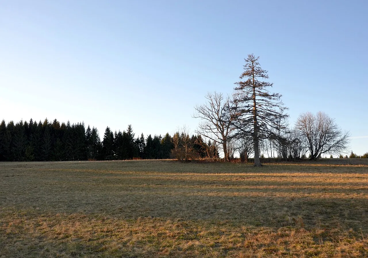
Wandbühl Olga Ernst · CC BY-SA 4.0 -
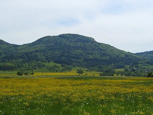
Schafberg V i c R a · CC BY-SA 3.0 -
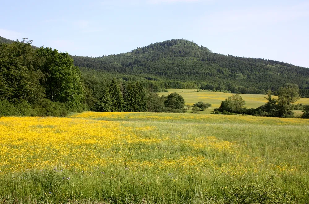
Lemberg Sigurd Betschinger · CC BY-SA 3.0 -
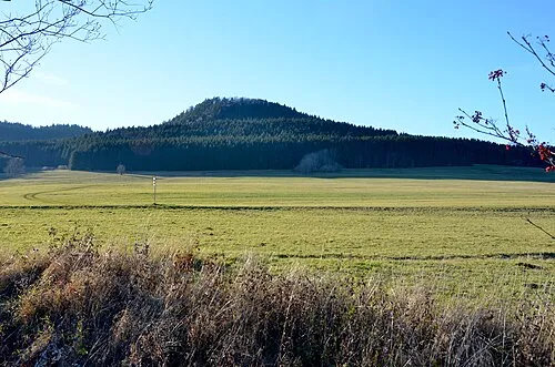
Oberhohenberg Olga Ernst · CC BY-SA 4.0 -
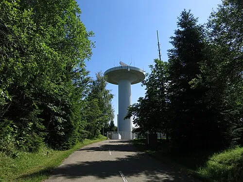
Hochwald Ramessos · CC BY-SA 3.0


Climate of Deilingen
Best months for sightseeingBest months for sightseeing: June–August.
This month · November
A cold month
Day 5° · Night -2° · Rain 74 mm
- Hottest month
- July (day 21°)
- Coldest month
- January (night -5°)
- Wettest month
- June (99 mm)
- Driest month
- March (59 mm)
Bars: average monthly low and high temperature. Below: precipitation. Monthly averages for 1970–2000 at about 18 km resolution, adjusted for elevation. Highlighted months are mild and relatively dry. Source: WorldClim 2.1 (CC BY 4.0).
Show values as a table
| Month | Jan | Feb | Mar | Apr | May | Jun | Jul | Aug | Sep | Oct | Nov | Dec |
|---|---|---|---|---|---|---|---|---|---|---|---|---|
| Average high (°C) | 1° | 2° | 6° | 10° | 16° | 18° | 21° | 21° | 17° | 11° | 5° | 2° |
| Average low (°C) | -5° | -5° | -2° | 0° | 5° | 8° | 10° | 9° | 6° | 2° | -2° | -4° |
| Precipitation (mm) | 65 | 66 | 59 | 67 | 88 | 99 | 87 | 77 | 60 | 69 | 74 | 78 |
How to get to Deilingen
The nearest airport is Stuttgart Airport (STR), 66 km to the northeast as the crow flies. The nearest large city is Reutlingen, 47 km to the northeast.
Airports
- Stuttgart Airport (STR) Stuttgart 66 kmnortheast
- Bodensee Airport Friedrichshafen (FDH) Friedrichshafen 78 kmsoutheast
- Zürich Airport (ZRH) Zurich 82 kmsouth
Nearby large cities
- Reutlingen Population: 112.6K 47 kmnortheast
- Freiburg im Breisgau Population: 237.5K 72 kmwest
- Stuttgart Population: 612.7K 74 kmnortheast
- Winterthur Population: 111.8K 74 kmsouth
- Pforzheim Population: 119.3K 79 kmnorth
Straight-line distances; road distances are longer. Airport data: OurAirports.
Day trips from Deilingen
Within 100 km: 824 historic and cultural sites, 3,147 natural sites, 894 lakes, rivers and coasts.
0–25 km365 places
- Zundelberg Mountain 14 kmS
- Zitterboch Mountain 16 kmE
- Winkel Mountain 9 kmNE
- Wenzelstein Mountain 6 kmNE
25–60 km1,599 places
- Strandbad Steckborn Beach 59 kmS
- Insel Werd Island 58 kmS
- Paradiesweiher Lake 55 kmS
- Chatzenweier Lake 60 kmS
60–100 km2,901 places
- Mainau Island 60 kmSE
- Fahr Abbey Attraction 89 kmS
- Dominikanerinsel Konstanz Island 64 kmSE
- Saffa Insel Island 94 kmS
Straight-line distances.
Places in Deilingen
12 placesBar: population relative to the most populous place in this list.
Cities & villages1
- Delkhofen · Village
Mountains & nature9
- Bol · Mountain
- Bühl · Mountain
- Hochberg · Mountain
- Montschenloch · Mountain
- Nameless Point · Mountain
- Ortenberg · Mountain
- Rainen · Mountain
- Rötenbuch · Mountain
- Wandbühl · Mountain
Heritage & sights1
- Fernmeldeturm Deilingen · Landmark
Nearby attractions & nature
Everything nearbySources & licences
Data last updated: