Landkreis Tuttlingen
Located in Freiburg Region, Baden-Wurttemberg Coordinates: 48°00′14″ N 8°48′02″ E
- Population
- 145,208
- 145.2K
- Elevation
- 831 m
- above sea level
- Local time
- UTC+01:00
- Europe/Berlin · UTC+01:00
- Places inside
- 35
- listed under Landkreis Tuttlingen
- Airports
- ZRH Zürich Airport64 km
- FDH Bodensee Airport Friedrichshafen65 km
About Landkreis Tuttlingen
Landkreis Tuttlingen is a municipality. Location: Freiburg Region, Baden-Wurttemberg. Population: 145,208. Elevation: 831 m. The best months to visit are June–September. The nearest airport is Zürich Airport (64 km). Nearby sights include Elta and Faulenbach.
Photos of Landkreis Tuttlingen
-
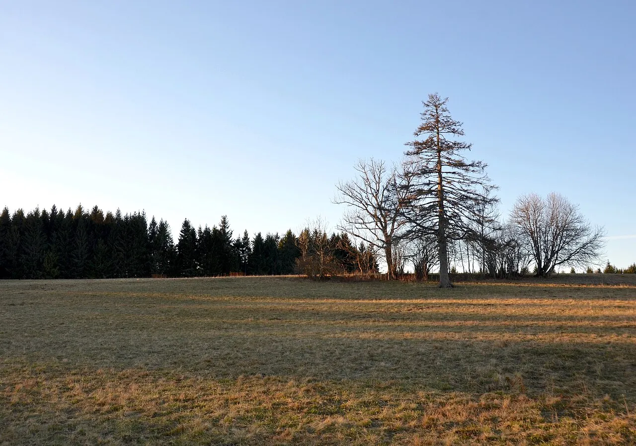
Wandbühl Olga Ernst · CC BY-SA 4.0 -
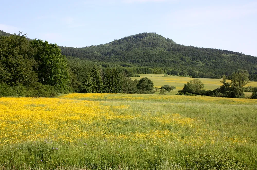
Lemberg Sigurd Betschinger · CC BY-SA 3.0 -
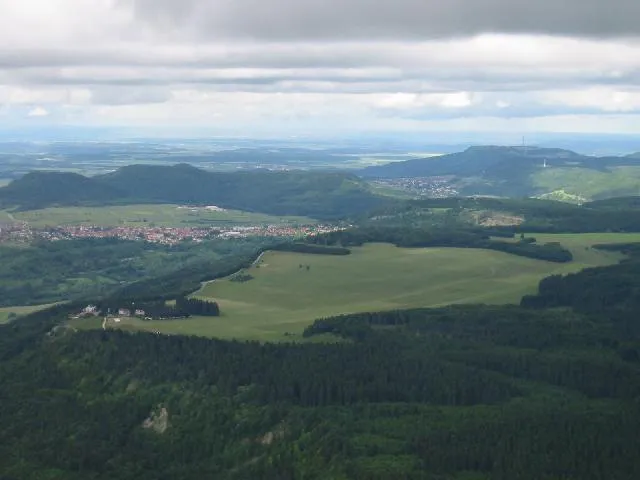
Klippeneck No machine-readable author provided. Ktm lc4 assumed · Public domain -
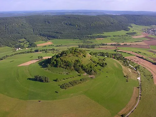
Hohenkarpfen Hansueli Krapf · CC BY-SA 3.0 -
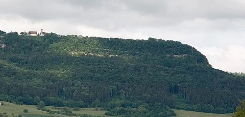
Dreifaltigkeitsberg selbst fotografiert · CC BY-SA 3.0


Climate of Landkreis Tuttlingen
Best months for sightseeingBest months for sightseeing: June–September.
This month · November
A cold month
Day 5° · Night -2° · Rain 80 mm
- Hottest month
- July (day 21°)
- Coldest month
- January (night -5°)
- Wettest month
- June (109 mm)
- Driest month
- March (63 mm)
Bars: average monthly low and high temperature. Below: precipitation. Monthly averages for 1970–2000 at about 18 km resolution, adjusted for elevation. Highlighted months are mild and relatively dry. Source: WorldClim 2.1 (CC BY 4.0).
Show values as a table
| Month | Jan | Feb | Mar | Apr | May | Jun | Jul | Aug | Sep | Oct | Nov | Dec |
|---|---|---|---|---|---|---|---|---|---|---|---|---|
| Average high (°C) | 1° | 3° | 6° | 10° | 15° | 18° | 21° | 21° | 17° | 11° | 5° | 2° |
| Average low (°C) | -5° | -5° | -2° | 0° | 5° | 8° | 10° | 10° | 6° | 3° | -2° | -4° |
| Precipitation (mm) | 70 | 71 | 63 | 72 | 92 | 109 | 96 | 87 | 65 | 73 | 80 | 83 |
Other places to visit in this season: June July August September
How to get to Landkreis Tuttlingen
The nearest airport is Zürich Airport (ZRH), 64 km to the south as the crow flies. The nearest large city is Winterthur, 56 km to the south.
Airports
- Zürich Airport (ZRH) Zurich 64 kmsouth
- Bodensee Airport Friedrichshafen (FDH) Friedrichshafen 65 kmsoutheast
- Sankt Gallen Altenrhein Airport (ACH) St. Gallen 81 kmsoutheast
Nearby large cities
- Winterthur Population: 111.8K 56 kmsouth
- Reutlingen Population: 112.6K 62 kmnortheast
- Freiburg im Breisgau Population: 237.5K 71 kmwest
- Zurich Population: 415.4K 73 kmsouth
- Stuttgart Population: 612.7K 91 kmnorth
Straight-line distances; road distances are longer. Airport data: OurAirports.
Day trips from Landkreis Tuttlingen
Within 100 km: 807 historic and cultural sites, 3,149 natural sites, 935 lakes, rivers and coasts.
0–25 km318 places
- Binninger See Lake 22 kmS
- Zundelberg Mountain 7 kmNW
- Zitterboch Mountain 23 kmNE
- Winkel Mountain 24 kmN
25–60 km1,300 places
- Mainau Island 44 kmSE
- Dominikanerinsel Konstanz Island 47 kmSE
- Strandbad Steckborn Beach 40 kmS
- Insel Werd Island 39 kmS
60–100 km3,273 places
- Fahr Abbey Attraction 72 kmS
- Arbeiterstrandbad Tennwil Beach 89 kmSW
- Ufenau Island 87 kmS
- Insel Lützelau Island 87 kmS
Straight-line distances.
Landkreis Tuttlingen and similar cities
Side by side with cities of similar size in the same country: population, elevation and climate.
| Measure | Landkreis Tuttlingen | Heidelberg | Paderborn | Regensburg |
|---|---|---|---|---|
| Population | 145.2K | 143.3K | 142.2K | 151.4K |
| Elevation | 831 m | 115 m | 118 m | 341 m |
| Summer day (hottest month) | 21° | 24° | 23° | 24° |
| Winter night (coldest month) | -5° | 0° | -1° | -4° |
| Annual rainfall | 961 mm | 953 mm | 934 mm | 656 mm |
| Best months | Jun–Sep | May–Sep | Jun–Aug | May–Sep |
| Distance | — | 156 km | 413 km | 269 km |
Climate values are 1970–2000 monthly averages; straight-line distance.
Places in Landkreis Tuttlingen
35 places- 1 Tuttlingen 37.1K
- 2 Trossingen 17.5K
- 3 Spaichingen 13.7K
- 4 Aldingen 7.9K
- 5 Immendingen 6.6K
- 6 Geisingen 6.2K
- 7 Emmingen-Liptingen 4.9K
- 8 Neuhausen ob Eck 4.2K
- 9 Wurmlingen 3.9K
- 10 Gosheim 3.7K
- 11 Wehingen 3.7K
- 12 Mühlheim an der Donau 3.6K
- 13 Fridingen an der Donau 3.2K
- 14 Denkingen 3K
- 15 Rietheim-Weilheim 3K
- 16 Seitingen-Oberflacht 2.6K
- 17 Frittlingen 2.1K
- 18 Deilingen 1.9K
- 19 Dürbheim 1.7K
- 20 Bubsheim 1.4K
- 21 Böttingen 1.4K
- 22 Talheim 1.3K
- 23 Balgheim 1.3K
- 24 Kolbingen 1.2K
- 25 Durchhausen 1.1K
- 26 Hausen ob Verena 837
- 27 Renquishausen 826
- 28 Mahlstetten 812
- 29 Buchheim 777
- 30 Gunningen 773
- 31 Irndorf 683
- 32 Egesheim 652
- 33 Königsheim 621
- 34 Bärenthal 487
- 35 Reichenbach am Heuberg 453
Bar: population relative to the most populous place in this list.
Nearby attractions & nature
Everything nearby-
Elta River, Baden-Wurttemberg2 km S
-
Faulenbach River, Baden-Wurttemberg2.6 km W
-
Seltenbach River, Baden-Wurttemberg3.3 km SE
-
Buch Natural site, Baden-Wurttemberg4.2 km N
-
Krähenbach River, Baden-Wurttemberg4.9 km SW
-
Brand Natural site, Baden-Wurttemberg6.2 km N
-
Spitalwald Natural site, Baden-Wurttemberg6.2 km SE
-
Schönbach River, Baden-Wurttemberg5.8 km W
Sources & licences
Data last updated: