Landkreis Konstanz
Located in Freiburg Region, Baden-Wurttemberg Coordinates: 47°48′25″ N 8°52′37″ E
- Population
- 291,841
- 291.8K
- Elevation
- 437 m
- above sea level
- Local time
- UTC+01:00
- Europe/Berlin · UTC+01:00
- Places inside
- 25
- listed under Landkreis Konstanz
- Airports
- ZRH Zürich Airport46 km
- FDH Bodensee Airport Friedrichshafen50 km
About Landkreis Konstanz
Landkreis Konstanz is a municipality. Location: Freiburg Region, Baden-Wurttemberg. Population: 291,841. Elevation: 437 m. The best months to visit are May–September. The nearest airport is Zürich Airport (46 km). Nearby sights include Rumisbol and Wachenholz.
Photos of Landkreis Konstanz
-
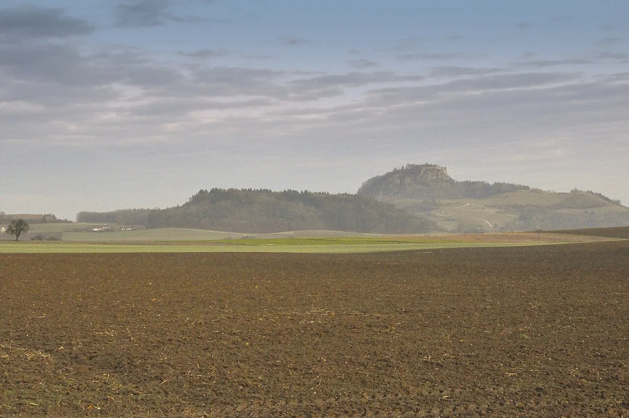
Staufen Hubenschmid · CC BY-SA 3.0 -
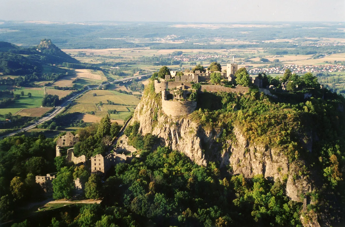
Hohentwiel Peter Stein · CC BY-SA 3.0 -
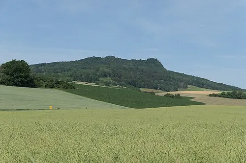
Hohenstoffeln Johannes Baier · CC BY 4.0 -
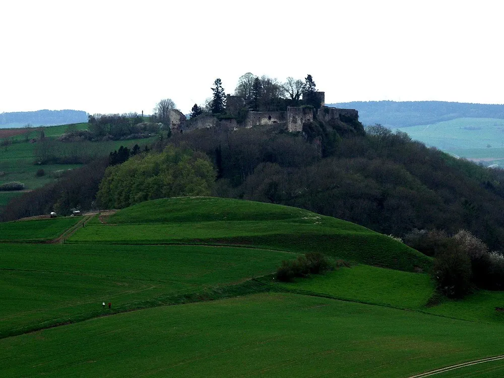
Mägdeberg Peter Schmenger. The original uploader was Dokape at German Wikipedia · CC BY-SA 3.0 -
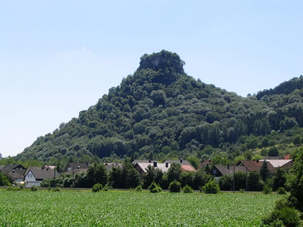
Hohenkrähen Heilmann · CC BY-SA 3.0


Climate of Landkreis Konstanz
Best months for sightseeingBest months for sightseeing: May–September.
This month · November
A cold month
Day 7° · Night 1° · Rain 69 mm
- Hottest month
- July (day 24°)
- Coldest month
- January (night -3°)
- Wettest month
- June (106 mm)
- Driest month
- March (49 mm)
Bars: average monthly low and high temperature. Below: precipitation. Monthly averages for 1970–2000 at about 18 km resolution, adjusted for elevation. Highlighted months are mild and relatively dry. Source: WorldClim 2.1 (CC BY 4.0).
Show values as a table
| Month | Jan | Feb | Mar | Apr | May | Jun | Jul | Aug | Sep | Oct | Nov | Dec |
|---|---|---|---|---|---|---|---|---|---|---|---|---|
| Average high (°C) | 3° | 5° | 10° | 13° | 19° | 21° | 24° | 24° | 19° | 13° | 7° | 4° |
| Average low (°C) | -3° | -2° | 1° | 3° | 8° | 11° | 13° | 13° | 9° | 5° | 1° | -1° |
| Precipitation (mm) | 50 | 57 | 49 | 67 | 82 | 106 | 97 | 90 | 66 | 67 | 69 | 66 |
Other places to visit in this season: May June July August September
How to get to Landkreis Konstanz
The nearest airport is Zürich Airport (ZRH), 46 km to the southwest as the crow flies. The nearest large city is Winterthur, 35 km to the south.
Airports
- Zürich Airport (ZRH) Zurich 46 kmsouthwest
- Bodensee Airport Friedrichshafen (FDH) Friedrichshafen 50 kmeast
- Sankt Gallen Altenrhein Airport (ACH) St. Gallen 63 kmsoutheast
Nearby large cities
- Winterthur Population: 111.8K 35 kmsouth
- Zurich Population: 415.4K 55 kmsouthwest
- Freiburg im Breisgau Population: 237.5K 79 kmwest
- Reutlingen Population: 112.6K 80 kmnorth
- Basel Population: 177.6K 102 kmwest
Straight-line distances; road distances are longer. Airport data: OurAirports.
Day trips from Landkreis Konstanz
Within 100 km: 643 historic and cultural sites, 3,558 natural sites, 954 lakes, rivers and coasts.
0–25 km264 places
- Strandbad Steckborn Beach 18 kmSE
- Insel Werd Island 17 kmS
- Hasensee Lake 22 kmS
- Anderbach Lake 22 kmSE
25–60 km1,101 places
- Mainau Island 26 kmSE
- Fahr Abbey Attraction 55 kmSW
- Dominikanerinsel Konstanz Island 28 kmSE
- Saffa Insel Island 57 kmSW
60–100 km3,790 places
- Arbeiterstrandbad Tennwil Beach 75 kmSW
- Ufenau Island 66 kmS
- Insel Lützelau Island 65 kmS
- Schönenwerd Island 68 kmS
Straight-line distances.
Landkreis Konstanz and similar cities
Side by side with cities of similar size in the same country: population, elevation and climate.
| Measure | Landkreis Konstanz | Wiesbaden | Karlsruhe | Augsburg |
|---|---|---|---|---|
| Population | 291.8K | 288.8K | 283.8K | 301.1K |
| Elevation | 437 m | 147 m | 118 m | 489 m |
| Summer day (hottest month) | 24° | 24° | 25° | 23° |
| Winter night (coldest month) | -3° | -1° | -1° | -4° |
| Annual rainfall | 866 mm | 653 mm | 765 mm | 852 mm |
| Best months | May–Sep | May–Sep | May–Sep | Jun–Aug |
| Distance | — | 258 km | 138 km | 163 km |
Climate values are 1970–2000 monthly averages; straight-line distance.
Places in Landkreis Konstanz
25 places- 1 Konstanz 86.9K
- 2 Singen (Hohentwiel) 47.6K
- 3 Radolfzell am Bodensee 31.7K
- 4 Stockach 17.6K
- 5 Rielasingen-Worblingen 12.3K
- 6 Engen 11.3K
- 7 Gottmadingen 10.9K
- 8 Hilzingen 9.2K
- 9 Allensbach 7.4K
- 10 Reichenau 5.2K
- 11 Steißlingen 5.1K
- 12 Bodman-Ludwigshafen 4.8K
- 13 Tengen 4.8K
- 14 Mühlhausen-Ehingen 4.1K
- 15 Eigeltingen 3.8K
- 16 Orsingen-Nenzingen 3.6K
- 17 Öhningen 3.6K
- 18 Moos 3.4K
- 19 Volkertshausen 3.4K
- 20 Gaienhofen 3.3K
- 21 Gailingen am Hochrhein 3K
- 22 Mühlingen 2.7K
- 23 Aach 2.4K
- 24 Hohenfels 2.2K
- 25 Büsingen am Hochrhein 1.4K
Bar: population relative to the most populous place in this list.
Nearby attractions & nature
Everything nearby-
Rumisbol Natural site, Baden-Wurttemberg2.5 km NW
-
Wachenholz Natural site, Baden-Wurttemberg3.4 km NE
-
Hart Natural site, Baden-Wurttemberg4.5 km S
-
Kirnberg Natural site, Baden-Wurttemberg4.6 km E
-
Saubach River, Baden-Wurttemberg4.2 km SW
-
Loh Natural site, Baden-Wurttemberg4.9 km N
-
Korrißwinkel Natural site, Baden-Wurttemberg5.6 km SE
-
Roßberg Natural site, Baden-Wurttemberg5.8 km E
Sources & licences
Data last updated: