Ulm, Universitätsstadt
Located in Stadtkreis Ulm, Tübingen Region Coordinates: 48°23′54″ N 9°59′30″ E
- Population
- 129,882
- 129.9K
- Elevation
- 480 m
- above sea level
- Local time
- UTC+01:00
- Europe/Berlin · UTC+01:00
- Places inside
- 79
- listed under Ulm, Universitätsstadt
- Airports
- FMM Memmingen Allgau Airport49 km
- STR Stuttgart Airport65 km
About Ulm, Universitätsstadt
Ulm, Universitätsstadt is a village. Location: Stadtkreis Ulm, Tübingen Region. Population: 129,882. Elevation: 480 m. The best months to visit are June–August. The nearest airport is Memmingen Allgau Airport (49 km). Nearby sights include Half Bastion 9 of Ulm Fortress and Caponier 8 of Ulm Fortress.
Photos of Ulm, Universitätsstadt
-
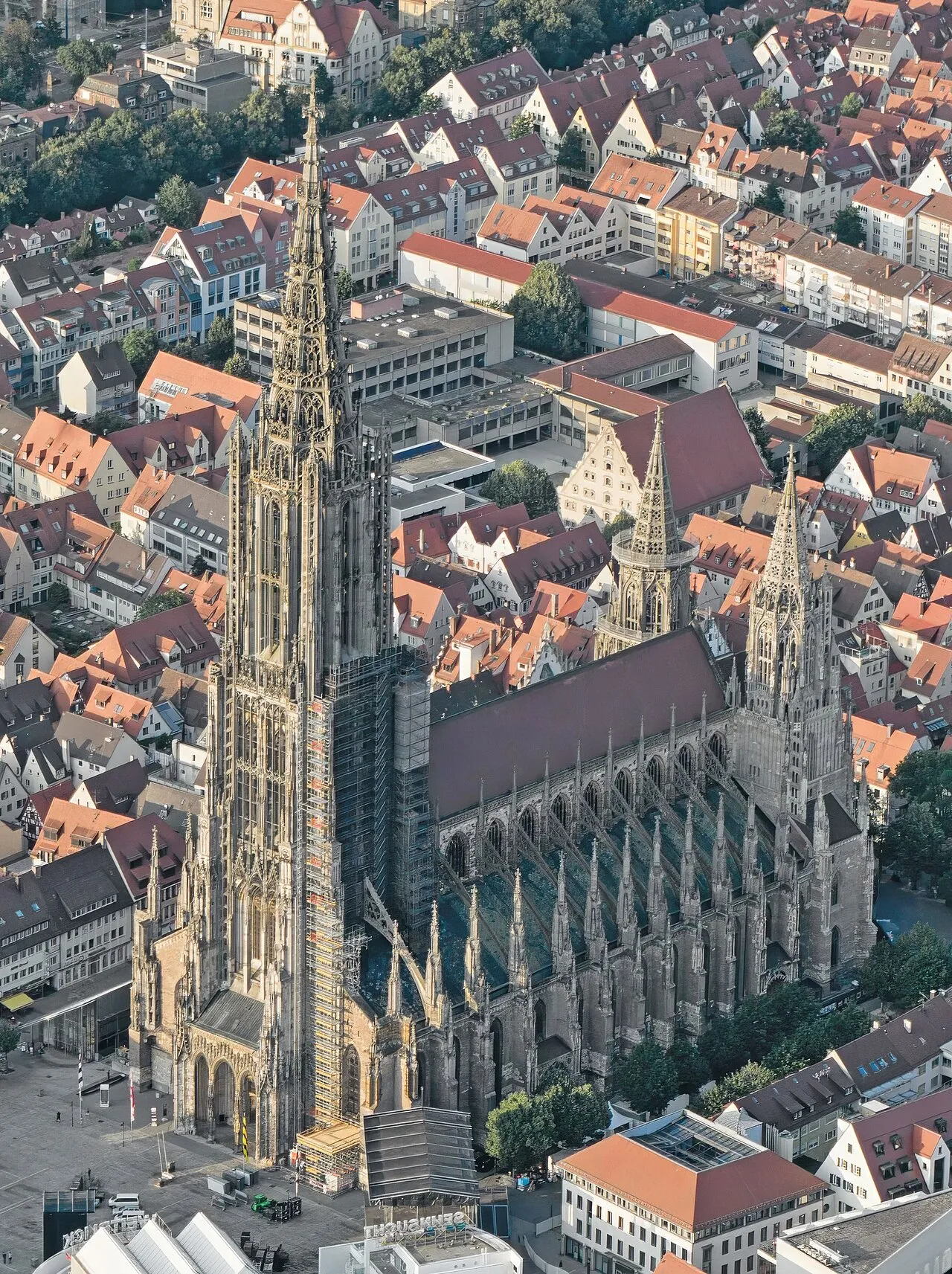
Ulm Minster Armin Appel · CC0 -
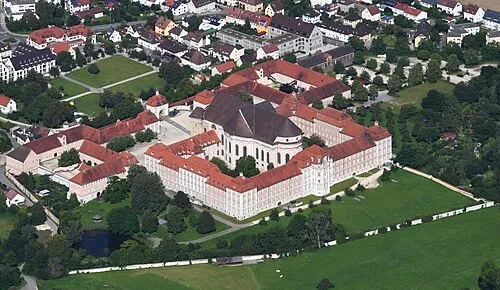
Wiblingen Abbey Carsten Steger · CC BY-SA 4.0 -
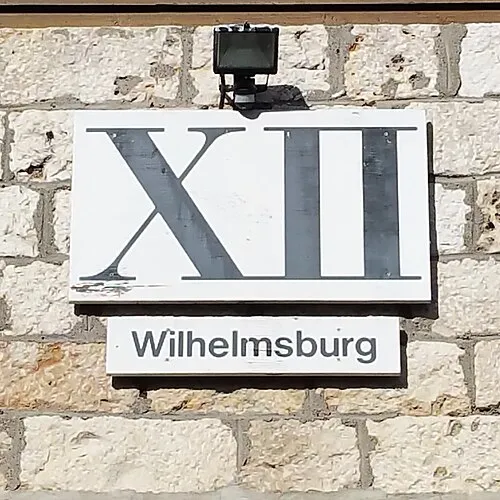
Citadel Wilhelmsburg Reutlingendorf · CC BY-SA 4.0 -
Upper Kuhberg Fort Reutlingendorf · CC BY-SA 4.0 -
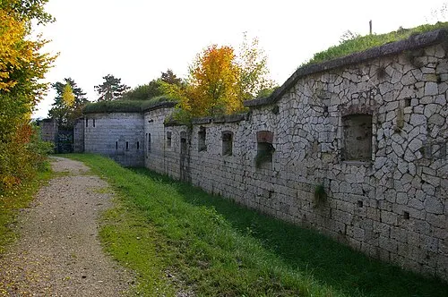
Söflingen Fort MikeAtari · CC BY-SA 3.0


Climate of Ulm, Universitätsstadt
Best months for sightseeingBest months for sightseeing: June–August.
This month · November
A cold month
Day 6° · Night 1° · Rain 62 mm
- Hottest month
- July (day 23°)
- Coldest month
- January (night -3°)
- Wettest month
- June (102 mm)
- Driest month
- February (49 mm)
Bars: average monthly low and high temperature. Below: precipitation. Monthly averages for 1970–2000 at about 18 km resolution, adjusted for elevation. Highlighted months are mild and relatively dry. Source: WorldClim 2.1 (CC BY 4.0).
Show values as a table
| Month | Jan | Feb | Mar | Apr | May | Jun | Jul | Aug | Sep | Oct | Nov | Dec |
|---|---|---|---|---|---|---|---|---|---|---|---|---|
| Average high (°C) | 2° | 4° | 8° | 13° | 18° | 20° | 23° | 23° | 19° | 13° | 6° | 3° |
| Average low (°C) | -3° | -3° | 0° | 3° | 8° | 11° | 13° | 12° | 9° | 5° | 1° | -2° |
| Precipitation (mm) | 50 | 49 | 49 | 62 | 82 | 102 | 94 | 83 | 67 | 62 | 62 | 59 |
How to get to Ulm, Universitätsstadt
The nearest airport is Memmingen Allgau Airport (FMM), 49 km to the south as the crow flies. The nearest large city is Ulm, 1 km to the northwest.
Airports
- Memmingen Allgau Airport (FMM) Memmingen 49 kmsouth
- Stuttgart Airport (STR) Stuttgart 65 kmnorthwest
- Bodensee Airport Friedrichshafen (FDH) Friedrichshafen 88 kmsouthwest
Nearby large cities
- Ulm Population: 120.5K 1 kmnorthwest
- Reutlingen Population: 112.6K 59 kmwest
- Augsburg Population: 301.1K 67 kmeast
- Stuttgart Population: 612.7K 74 kmnorthwest
- Heilbronn Population: 120.7K 100 kmnorthwest
Straight-line distances; road distances are longer. Airport data: OurAirports.
Day trips from Ulm, Universitätsstadt
Within 100 km: 868 historic and cultural sites, 3,255 natural sites, 903 lakes, rivers and coasts.
0–25 km323 places
- Lauter River 7 kmW
- Blautopf Lake 16 kmW
- Dietenheimer Badesee Lake 21 kmS
- Auer Badesee Lake 18 kmS
25–60 km1,604 places
- Lauter River 55 kmNW
- Zeller See Lake 51 kmSW
- Steeger See Lake 55 kmSW
- Stadtsee Lake 56 kmS
60–100 km3,099 places
- Hessental Concentration Camp Historic site 80 kmN
- Mainau Island 97 kmSW
- Eckbühel Mountain 91 kmS
- Daxenberg Mountain 95 kmS
Straight-line distances.
Places in Ulm, Universitätsstadt
79 places- 1 Ulm 120.5K
- 2 Eselsberg 19.1K
- 3 Wiblingen 16.2K
- 4 Jungingen 3.7K
- 5 Lehr 2.9K
- 6 Einsingen 2.6K
- 7 Eggingen 1.5K
- 8 Mähringen 1.3K
- 9 Ermingen 1.3K
- 10 Grimmelfingen 1.2K
Bar: population relative to the most populous place in this list.
Cities & villages15
- Alber · Neighbourhood
- Allewind · Village
- Böfingen · Village
- Donaustetten · Village
- Donautal · Village
- Gögglingen · Village
- Harthausen · Village
- Kesselbronn · Village
- Oberer Riedhof · Village
- Oberhaslach · Village
- Oberthalfingen · Village
- Oerlingen · Village
- Römerhöfe · Village
- Sankt Moritz · Village
- Schaffelkingen · Village
Mountains & nature9
- Dreierberg · Mountain
- Kugelberg · Mountain
- Lettenwald · Natural site
- Mähringer Berg · Mountain
- Michelsberg · Mountain
- Oberer Eselsberg · Mountain
- Safranberg · Mountain
- Schönenberg · Mountain
- Schöner Berg · Mountain
Heritage & sights26
- Albeck Fort · Historic site
- Blaubeurer Gate · Historic site
- Böblingen Reduit · Historic site
- Butcher Tower · Landmark
- Caponier XX · Historic site
- Citadel Wilhelmsburg · Historic site
- Early Camp Ulm (Oberer Kuhberg) · Historic site
- Ehinger Gate · Historic site
- Fernmeldeturm Ulm-Ermingen · Landmark
- Friedrichsau Fort · Historic site
- Getreidesilo Schapfenmühle · Landmark
- Goose Tower · Landmark
- Kienlesberg Bastion · Historic site
- Lauseck Bastion · Historic site
- Lower Danube Bastion Reduit · Historic site
- Lower Danube Tower · Historic site
- Lower Eselsberg Fort · Historic site
- Lower Gaisenberg Bastion · Historic site
- Lower Kuhberg Fort · Historic site
- Mortar Battery Casemate · Historic site
- Oerlingen Redoubt · Historic site
- Örlinger Tower Fort · Historic site
- Prittwitz Fort · Historic site
- Safranberg Fort · Historic site
- Sendemast Ulm-Jungingen · Landmark
- Sendemast Ulm-Kuhberg · Landmark
Nearby attractions & nature
Everything nearby-
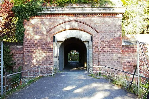 Half Bastion 9 of Ulm Fortress Historic site, Neu-Ulm0.7 km S
-
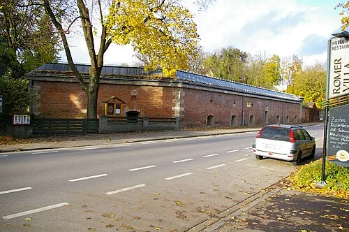 Caponier 8 of Ulm Fortress Historic site, Neu-Ulm0.9 km S
-
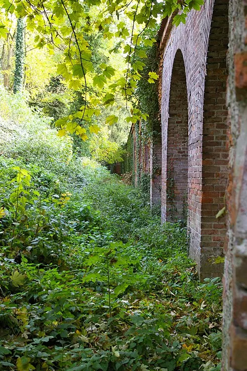 Bastion 7 of Ulm Fortress Historic site, Neu-Ulm1.1 km S
-
Blau River, Baden-Wurttemberg0.4 km S
-
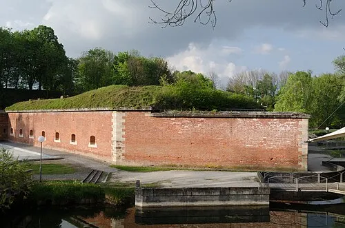 Caponier 6 of Ulm Fortress Historic site, Neu-Ulm1.2 km SE
-
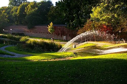 Bastion 5 of Ulm Fortress Historic site, Neu-Ulm1.2 km SE
Sources & licences
Data last updated: