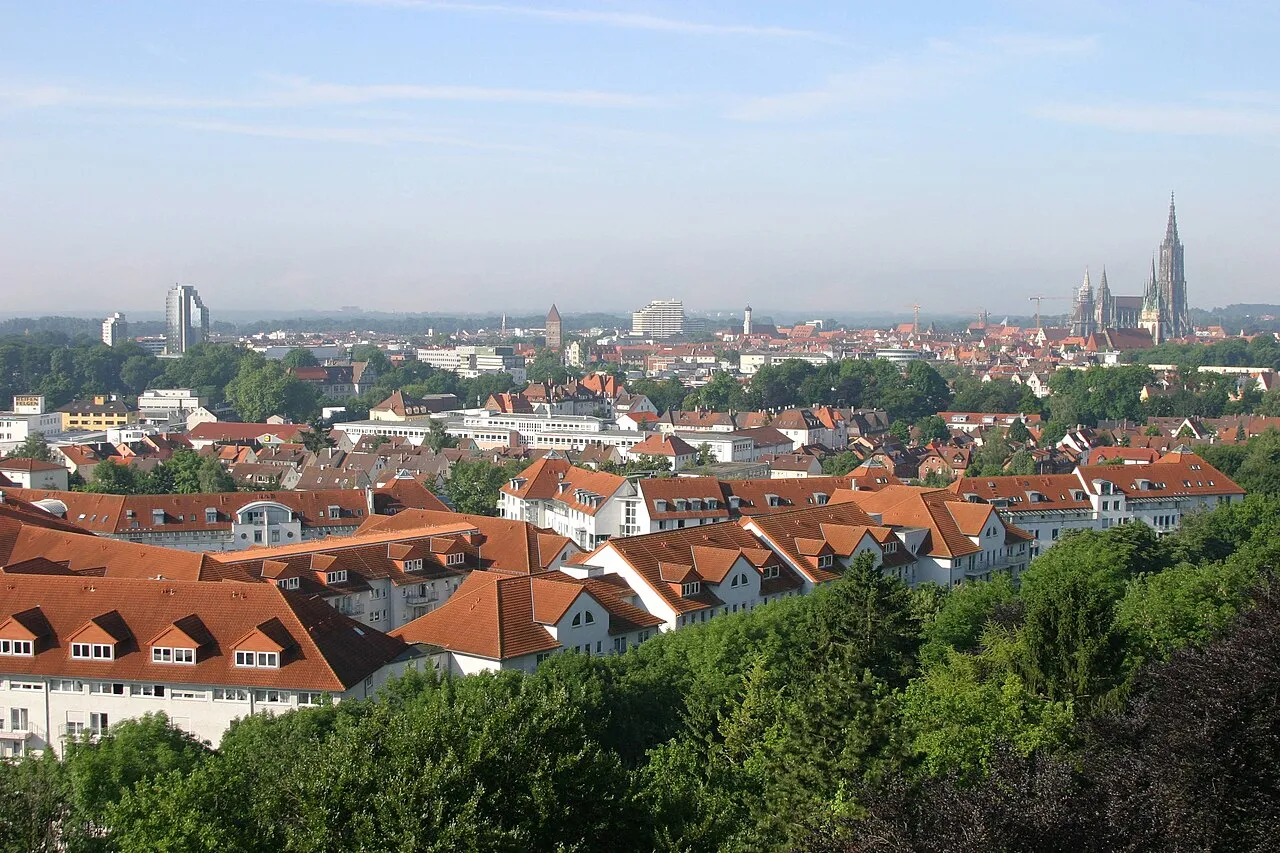
- Population
- 1,904,744
- 1.9M
- Elevation
- 534 m
- above sea level
- Local time
- UTC+01:00
- Europe/Berlin · UTC+01:00
- Places inside
- 12
- listed under Tübingen Region
- Airports
- FDH Bodensee Airport Friedrichshafen55 km
- FMM Memmingen Allgau Airport58 km
About Tübingen Region
Tübingen Region is a district. Location: Baden-Wurttemberg, Germany. Population: 1,904,744. The best months to visit are June–September. The nearest airport is Bodensee Airport Friedrichshafen (55 km). Nearby sights include Kanzach and Soppenbach.
Climate of Tübingen Region
Best months for sightseeingBest months for sightseeing: June–September.
This month · November
A cold month
Day 6° · Night 0° · Rain 64 mm
- Hottest month
- July (day 22°)
- Coldest month
- January (night -4°)
- Wettest month
- June (107 mm)
- Driest month
- January (50 mm)
Bars: average monthly low and high temperature. Below: precipitation. Monthly averages for 1970–2000 at about 18 km resolution, adjusted for elevation. Highlighted months are mild and relatively dry. Source: WorldClim 2.1 (CC BY 4.0).
Show values as a table
| Month | Jan | Feb | Mar | Apr | May | Jun | Jul | Aug | Sep | Oct | Nov | Dec |
|---|---|---|---|---|---|---|---|---|---|---|---|---|
| Average high (°C) | 2° | 3° | 8° | 12° | 17° | 20° | 22° | 22° | 18° | 12° | 6° | 3° |
| Average low (°C) | -4° | -3° | 0° | 3° | 7° | 10° | 12° | 12° | 8° | 5° | 0° | -2° |
| Precipitation (mm) | 50 | 50 | 54 | 66 | 90 | 107 | 97 | 90 | 67 | 62 | 64 | 60 |
Other places to visit in this season: June July August September
How to get to Tübingen Region
The nearest airport is Bodensee Airport Friedrichshafen (FDH), 55 km to the south as the crow flies. The nearest large city is Reutlingen, 42 km to the northwest.
Airports
- Bodensee Airport Friedrichshafen (FDH) Friedrichshafen 55 kmsouth
- Memmingen Allgau Airport (FMM) Memmingen 58 kmeast
- Stuttgart Airport (STR) Stuttgart 62 kmnorth
Nearby large cities
- Reutlingen Population: 112.6K 42 kmnorthwest
- Ulm Population: 120.5K 45 kmnortheast
- Stuttgart Population: 612.7K 73 kmnorth
- Winterthur Population: 111.8K 94 kmsouthwest
- Pforzheim Population: 119.3K 99 kmnorthwest
Straight-line distances; road distances are longer. Airport data: OurAirports.
Day trips from Tübingen Region
Within 100 km: 814 historic and cultural sites, 3,593 natural sites, 1,018 lakes, rivers and coasts.
0–25 km267 places
- Zeller See Lake 22 kmSE
- Schwaigfurter Weiher Lake 24 kmSE
- Olzreuter See Lake 22 kmSE
- Federsee Lake 13 kmSE
25–60 km1,711 places
- Mainau Island 56 kmSW
- Lauter River 58 kmN
- Lauter River 41 kmNE
- Obersee Lake 50 kmSE
60–100 km3,447 places
- Dominikanerinsel Konstanz Island 61 kmSW
- Strandbad Steckborn Beach 69 kmSW
- Insel Werd Island 74 kmSW
- Weiher Diepoldsau Lake 88 kmS
Straight-line distances.
Places in Tübingen Region
12 places- 1 Landkreis Reutlingen 293.5K
- 2 Landkreis Ravensburg 291.1K
- 3 Landkreis Tübingen 233.5K
- 4 Bodenseekreis 220.8K
- 5 Landkreis Biberach 207.4K
- 6 Alb-Donau-Kreis 202.4K
- 7 Zollernalbkreis 193.3K
- 8 Landkreis Sigmaringen 132.2K
- 9 Stadtkreis Ulm 129.9K
Bar: population relative to the most populous place in this list.
Nature and heritage in Tübingen Region
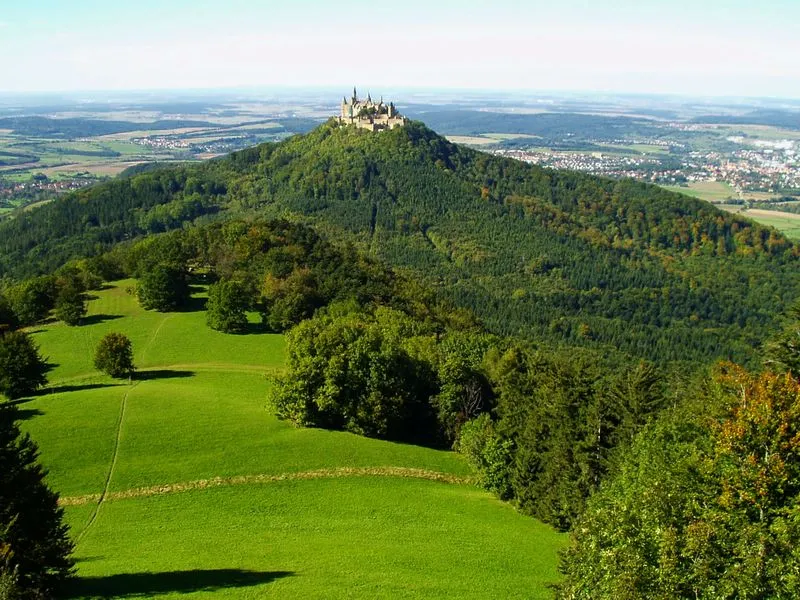
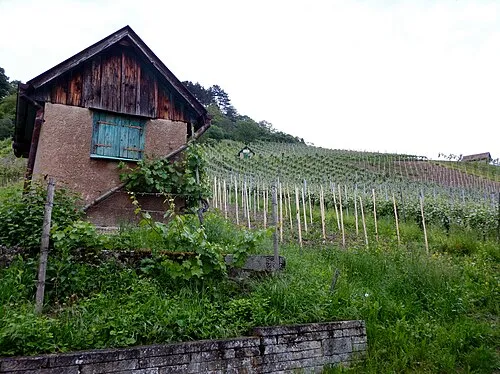
Nearby attractions & nature
Everything nearby-
Kanzach River, Baden-Wurttemberg1.9 km N
-
Soppenbach River, Baden-Wurttemberg3.6 km SW
-
Miesach River, Baden-Wurttemberg4.5 km SE
-
Biber River, Baden-Wurttemberg4.5 km SW
-
Tautschbuch Natural site, Baden-Wurttemberg4.9 km NW
-
Altbach River, Baden-Wurttemberg5.3 km W
Sources & licences
Data last updated: