Landkreis Reutlingen
Located in Tübingen Region, Baden-Wurttemberg Coordinates: 48°24′12″ N 9°22′50″ E
- Population
- 293,483
- 293.5K
- Elevation
- 661 m
- above sea level
- Local time
- UTC+01:00
- Europe/Berlin · UTC+01:00
- Places inside
- 45
- listed under Landkreis Reutlingen
- Airports
- STR Stuttgart Airport34 km
- FMM Memmingen Allgau Airport79 km
About Landkreis Reutlingen
Landkreis Reutlingen is a municipality. Location: Tübingen Region, Baden-Wurttemberg. Population: 293,483. Elevation: 661 m. The best months to visit are June–September. The nearest airport is Stuttgart Airport (34 km). Nearby sights include Lauter Quelle and Gachinger Lauter.
Photos of Landkreis Reutlingen
-
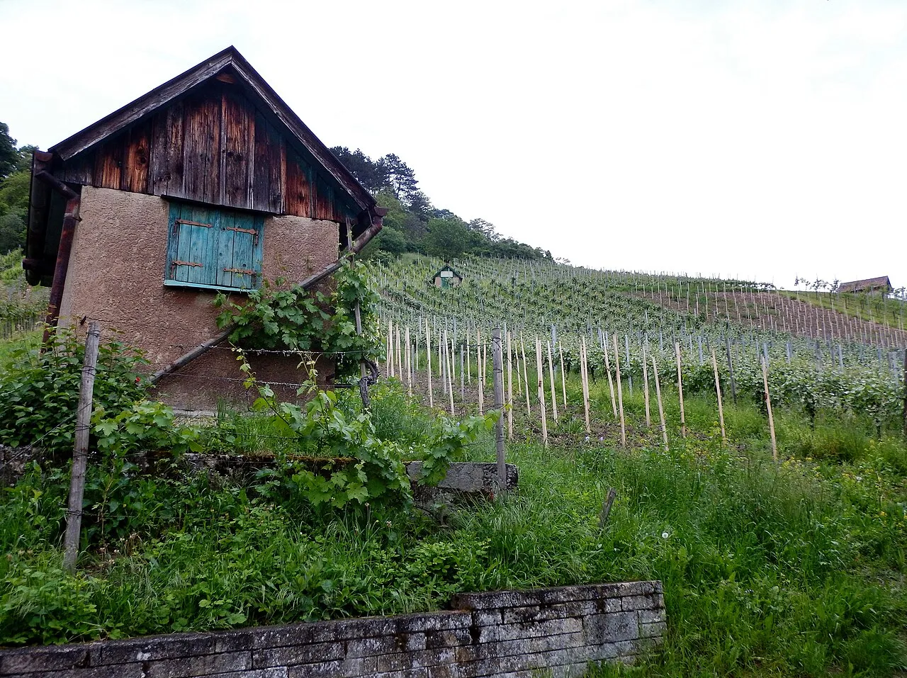
Weinberg qwesy qwesy · CC BY 3.0 -
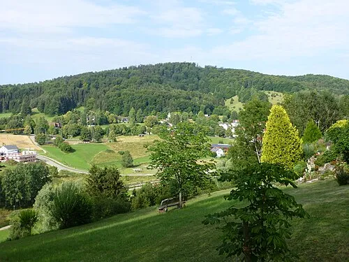
Sternberg Muck · CC BY-SA 4.0 -
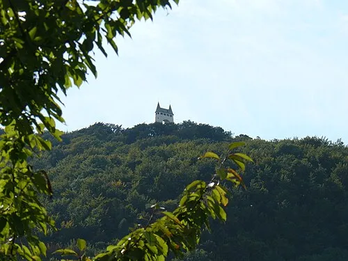
Schönberg qwesy qwesy · CC BY 3.0 -
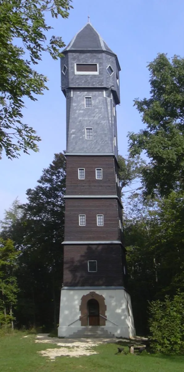
Römerstein Ssch · CC BY-SA 3.0 -
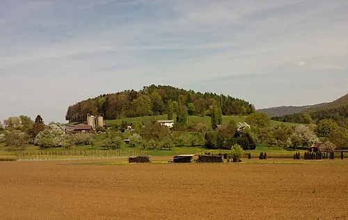
Rangenbergle Moritz Wickendorf · CC BY-SA 3.0


Climate of Landkreis Reutlingen
Best months for sightseeingBest months for sightseeing: June–September.
This month · November
A cold month
Day 6° · Night -1° · Rain 72 mm
- Hottest month
- July (day 21°)
- Coldest month
- January (night -4°)
- Wettest month
- June (114 mm)
- Driest month
- February (60 mm)
Bars: average monthly low and high temperature. Below: precipitation. Monthly averages for 1970–2000 at about 18 km resolution, adjusted for elevation. Highlighted months are mild and relatively dry. Source: WorldClim 2.1 (CC BY 4.0).
Show values as a table
| Month | Jan | Feb | Mar | Apr | May | Jun | Jul | Aug | Sep | Oct | Nov | Dec |
|---|---|---|---|---|---|---|---|---|---|---|---|---|
| Average high (°C) | 1° | 3° | 7° | 11° | 16° | 19° | 21° | 21° | 17° | 12° | 6° | 3° |
| Average low (°C) | -4° | -4° | -1° | 2° | 6° | 9° | 11° | 11° | 8° | 4° | -1° | -3° |
| Precipitation (mm) | 62 | 60 | 67 | 73 | 96 | 114 | 99 | 92 | 68 | 67 | 72 | 73 |
Other places to visit in this season: June July August September
How to get to Landkreis Reutlingen
The nearest airport is Stuttgart Airport (STR), 34 km to the north as the crow flies. The nearest large city is Reutlingen, 16 km to the northwest.
Airports
- Stuttgart Airport (STR) Stuttgart 34 kmnorth
- Memmingen Allgau Airport (FMM) Memmingen 79 kmsoutheast
- Bodensee Airport Friedrichshafen (FDH) Friedrichshafen 82 kmsouth
Nearby large cities
- Reutlingen Population: 112.6K 16 kmnorthwest
- Stuttgart Population: 612.7K 45 kmnorth
- Ulm Population: 120.5K 45 kmeast
- Pforzheim Population: 119.3K 73 kmnorthwest
- Heilbronn Population: 120.7K 83 kmnorth
Straight-line distances; road distances are longer. Airport data: OurAirports.
Day trips from Landkreis Reutlingen
Within 100 km: 861 historic and cultural sites, 3,712 natural sites, 862 lakes, rivers and coasts.
0–25 km507 places
- Zwiefalter Alb Mountain 14 kmS
- Ziegelberg Mountain 12 kmSW
- Schneiderhau Mountain 11 kmN
- Warmberg Mountain 10 kmS
25–60 km1,808 places
- Lauter River 31 kmN
- Lauter River 38 kmE
- Zeller See Lake 49 kmSE
- Vorsee Lake 59 kmS
60–100 km3,120 places
- Hessental Concentration Camp Historic site 83 kmN
- Mainau Island 79 kmS
- Dominikanerinsel Konstanz Island 84 kmS
- Strandbad Steckborn Beach 88 kmS
Straight-line distances.
Landkreis Reutlingen and similar cities
Side by side with cities of similar size in the same country: population, elevation and climate.
| Measure | Landkreis Reutlingen | Wiesbaden | Augsburg | Karlsruhe |
|---|---|---|---|---|
| Population | 293.5K | 288.8K | 301.1K | 283.8K |
| Elevation | 661 m | 147 m | 489 m | 118 m |
| Summer day (hottest month) | 21° | 24° | 23° | 25° |
| Winter night (coldest month) | -4° | -1° | -4° | -1° |
| Annual rainfall | 943 mm | 653 mm | 852 mm | 765 mm |
| Best months | Jun–Sep | May–Sep | Jun–Aug | May–Sep |
| Distance | — | 205 km | 112 km | 99 km |
Climate values are 1970–2000 monthly averages; straight-line distance.
Places in Landkreis Reutlingen
45 places- 1 Reutlingen 118.9K
- 2 Metzingen 23.2K
- 3 Pfullingen 19.8K
- 4 Münsingen 14.8K
- 5 Bad Urach 12.8K
- 6 Eningen unter Achalm 11.5K
- 7 Dettingen an der Erms 10K
- 8 Pliezhausen 9.8K
- 9 Lichtenstein 9.2K
- 10 Sonnenbühl 7K
- 11 Trochtelfingen 6.3K
- 12 Walddorfhäslach 5.5K
- 13 Wannweil 5.4K
- 14 St. Johann 5.2K
- 15 Engstingen 5K
- 16 Riederich 4.2K
- 17 Römerstein 4.1K
- 18 Hohenstein 3.8K
- 19 Hülben 3.1K
- 20 Grafenberg 2.6K
- 21 Zwiefalten 2.3K
- 22 Hayingen 2.2K
- 23 Gomadingen 2.2K
- 24 Grabenstetten 1.7K
- 25 Pfronstetten 1.5K
- 26 Mehrstetten 1.5K
Bar: population relative to the most populous place in this list.
Cities & villages2
Mountains & nature12
- Achenbuch · Mountain
- Buchstein · Mountain
- Dietenbühl · Mountain
- Enderlesberg · Mountain
- Engelsberg · Mountain
- Felgenhau · Mountain
- Gänsewag · Mountain
- Grimmelberg · Mountain
- Hochhöklingen · Mountain
- Kalksbuch · Mountain
- Schloßberg · Mountain
- Siebenzig Buch · Mountain
Heritage & sights5
- Turm Heroldstatt · Landmark
- Turm Lene · Landmark
- Turm Lindequist · Landmark
- Turm Reinhardt · Landmark
- Turm Seeckt · Landmark
Nearby attractions & nature
Everything nearby-
Lauter Quelle Natural site, Baden-Wurttemberg1.1 km W
-
Gachinger Lauter River, Baden-Wurttemberg1.5 km E
-
Lonsinger Tal Natural site, Baden-Wurttemberg2.7 km NW
-
Oberfeld Natural site, Baden-Wurttemberg2.6 km SE
-
Auental Natural site, Baden-Wurttemberg3.6 km NE
-
Planwald Natural site, Baden-Wurttemberg3.2 km SW
-
Pfaffental Natural site, Baden-Wurttemberg4.1 km S
-
Heutal Natural site, Baden-Wurttemberg5 km W
Other cities and towns in Tübingen Region
-
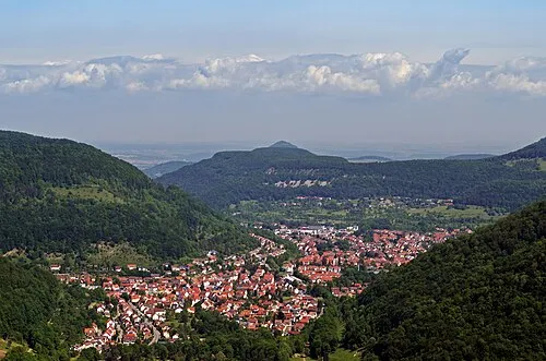 Unterhausen Town, Lichtenstein9.7 km W
-
Münsingen Town, Münsingen8.7 km E
-
Sankt Johann Town, St. Johann6.2 km NW
-
Bad Urach Town, Bad Urach9.9 km N
-
Landkreis Tübingen Municipality, Tübingen Region30 km W
-
Altes Lager Town, Münsingen12 km E
Sources & licences
Data last updated: