Zollernalbkreis
Located in Tübingen Region, Baden-Wurttemberg Coordinates: 48°16′41″ N 8°56′28″ E
- Population
- 193,326
- 193.3K
- Elevation
- 874 m
- above sea level
- Local time
- UTC+01:00
- Europe/Berlin · UTC+01:00
- Places inside
- 25
- listed under Zollernalbkreis
- Airports
- STR Stuttgart Airport50 km
- FDH Bodensee Airport Friedrichshafen80 km
About Zollernalbkreis
Zollernalbkreis is a municipality. Location: Tübingen Region, Baden-Wurttemberg. Population: 193,326. Elevation: 874 m. The best months to visit are June–September. The nearest airport is Stuttgart Airport (50 km). Nearby sights include Roschbach and Schmiecha.
Photos of Zollernalbkreis
-
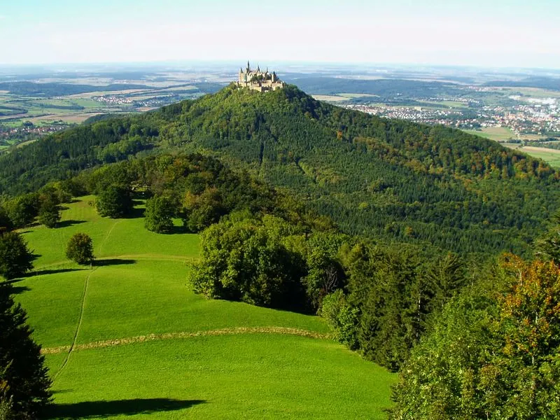
Zeller Horn mih · Public domain -
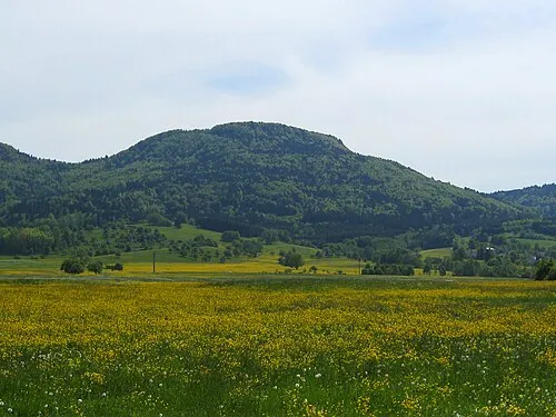
Schafberg V i c R a · CC BY-SA 3.0 -
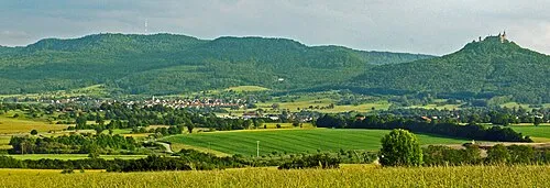
Raichberg UnreifeKirsche · CC BY-SA 3.0 -
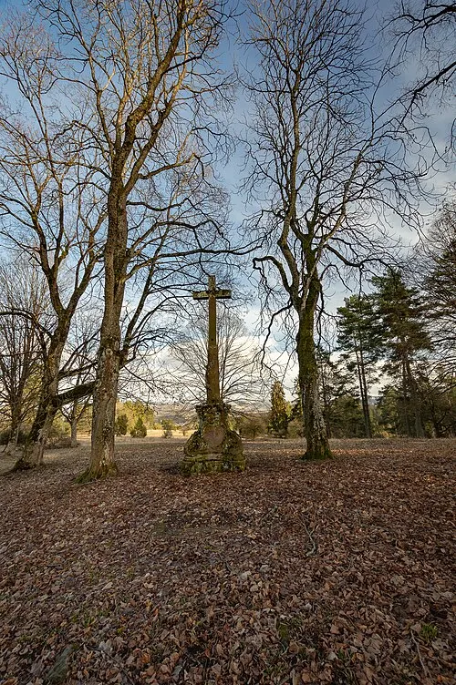
Martinsberg Spica19 · CC BY-SA 3.0 -
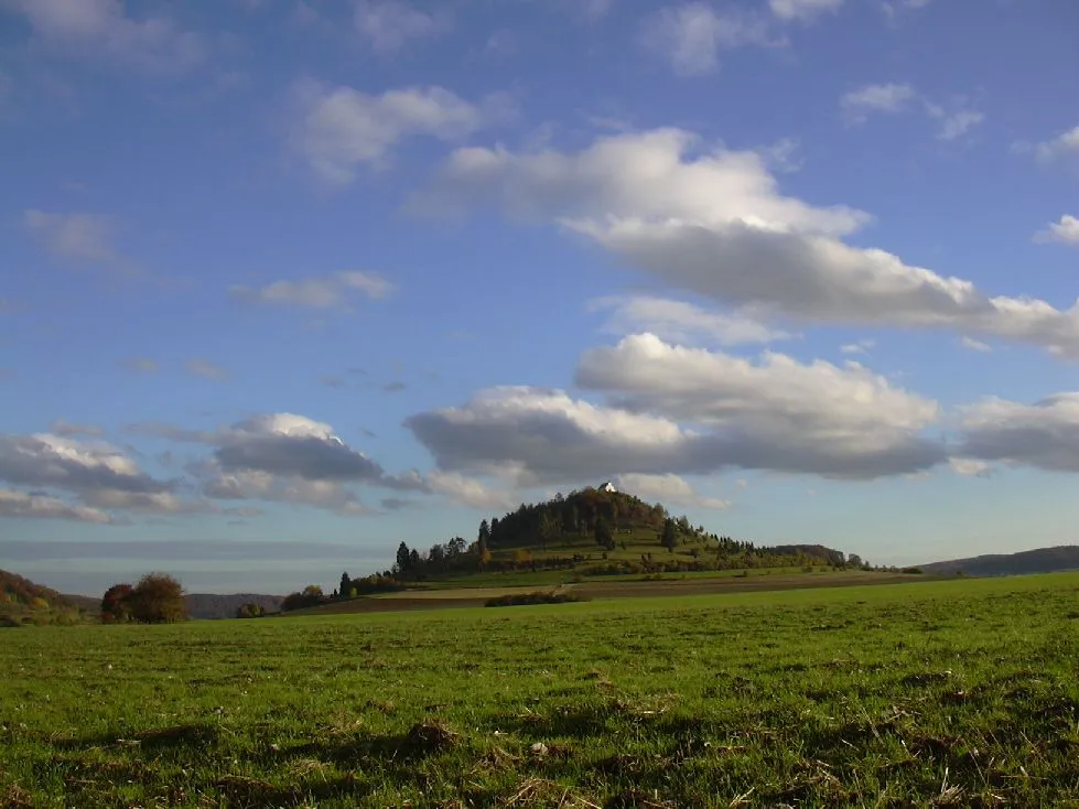
Kornbühl RoamingWolf · Public domain


Climate of Zollernalbkreis
Best months for sightseeingBest months for sightseeing: June–September.
This month · November
A cold month
Day 5° · Night -2° · Rain 76 mm
- Hottest month
- July (day 21°)
- Coldest month
- January (night -5°)
- Wettest month
- June (111 mm)
- Driest month
- January (63 mm)
Bars: average monthly low and high temperature. Below: precipitation. Monthly averages for 1970–2000 at about 18 km resolution, adjusted for elevation. Highlighted months are mild and relatively dry. Source: WorldClim 2.1 (CC BY 4.0).
Show values as a table
| Month | Jan | Feb | Mar | Apr | May | Jun | Jul | Aug | Sep | Oct | Nov | Dec |
|---|---|---|---|---|---|---|---|---|---|---|---|---|
| Average high (°C) | 1° | 2° | 6° | 10° | 15° | 18° | 21° | 20° | 16° | 11° | 5° | 2° |
| Average low (°C) | -5° | -5° | -3° | 0° | 5° | 8° | 10° | 10° | 6° | 3° | -2° | -4° |
| Precipitation (mm) | 63 | 65 | 63 | 73 | 94 | 111 | 97 | 86 | 66 | 71 | 76 | 77 |
Other places to visit in this season: June July August September
How to get to Zollernalbkreis
The nearest airport is Stuttgart Airport (STR), 50 km to the northeast as the crow flies. The nearest large city is Reutlingen, 31 km to the northeast.
Airports
- Stuttgart Airport (STR) Stuttgart 50 kmnortheast
- Bodensee Airport Friedrichshafen (FDH) Friedrichshafen 80 kmsoutheast
- Karlsruhe Baden-Baden Airport (FKB) Rheinmünster 85 kmnorthwest
Nearby large cities
- Reutlingen Population: 112.6K 31 kmnortheast
- Stuttgart Population: 612.7K 59 kmnorth
- Pforzheim Population: 119.3K 70 kmnorth
- Ulm Population: 120.5K 79 kmeast
- Freiburg im Breisgau Population: 237.5K 87 kmwest
Straight-line distances; road distances are longer. Airport data: OurAirports.
Day trips from Zollernalbkreis
Within 100 km: 823 historic and cultural sites, 3,423 natural sites, 927 lakes, rivers and coasts.
0–25 km435 places
- Zitterboch Mountain 13 kmS
- Ziegelberg Mountain 24 kmE
- Winkel Mountain 8 kmSW
- Wenzelstein Mountain 10 kmSW
25–60 km1,778 places
- Lauter River 56 kmNE
- Volzer See Lake 55 kmSE
- Ruschweiler See Lake 55 kmSE
- Pfaffensee Lake 55 kmN
60–100 km2,960 places
- Mainau Island 66 kmS
- Dominikanerinsel Konstanz Island 71 kmS
- Strandbad Steckborn Beach 69 kmS
- Insel Werd Island 69 kmS
Straight-line distances.
Zollernalbkreis and similar cities
Side by side with cities of similar size in the same country: population, elevation and climate.
| Measure | Zollernalbkreis | Kassel | Rostock | Hagen |
|---|---|---|---|---|
| Population | 193.3K | 197.2K | 198.3K | 199K |
| Elevation | 874 m | 164 m | 18 m | 111 m |
| Summer day (hottest month) | 21° | 23° | 22° | 23° |
| Winter night (coldest month) | -5° | -2° | -2° | -1° |
| Annual rainfall | 942 mm | 752 mm | 596 mm | 980 mm |
| Best months | Jun–Sep | Jun–Aug | Jun–Aug | Jun–Aug |
| Distance | — | 340 km | 684 km | 359 km |
Climate values are 1970–2000 monthly averages; straight-line distance.
Places in Zollernalbkreis
25 places- 1 Albstadt 47K
- 2 Balingen 35.6K
- 3 Hechingen 19.8K
- 4 Burladingen 12.1K
- 5 Haigerloch 10.9K
- 6 Meßstetten 10.7K
- 7 Bisingen 9.5K
- 8 Rosenfeld 6.4K
- 9 Winterlingen 6.3K
- 10 Geislingen 5.9K
- 11 Rangendingen 5.3K
- 12 Schömberg 4.8K
- 13 Bitz 3.8K
- 14 Straßberg 2.5K
- 15 Grosselfingen 2.2K
- 16 Nusplingen 1.9K
- 17 Dotternhausen 1.8K
- 18 Obernheim 1.5K
- 19 Jungingen 1.4K
- 20 Dormettingen 1.1K
- 21 Ratshausen 793
- 22 Weilen unter den Rinnen 584
- 23 Hausen am Tann 491
- 24 Dautmergen 459
- 25 Zimmern unter der Burg 436
Bar: population relative to the most populous place in this list.
Nearby attractions & nature
Everything nearby-
Roschbach River, Baden-Wurttemberg2.3 km SW
-
Schmiecha River, Baden-Wurttemberg2.6 km NE
-
Weidenbach River, Baden-Wurttemberg4.6 km N
-
Schalksbach River, Baden-Wurttemberg5.6 km SW
-
Steinbach River, Baden-Wurttemberg6.3 km S
-
Böllbach River, Baden-Wurttemberg6.3 km SW
-
Bremelhart Natural site, Baden-Wurttemberg7.3 km E
-
Reiten Natural site, Baden-Wurttemberg7.5 km SE
Sources & licences
Data last updated: