- Elevation
- 616 m
- above sea level
- Local time
- UTC+01:00
- Europe/Berlin · UTC+01:00
- Airports
- JCL České Budějovice South Bohemian Airport104 km
- MUC Munich Airport107 km
About Tattenberg
Tattenberg is a village. Location: Deggendorf, Landkreis Deggendorf. Elevation: 616 m. The best months to visit are June–August. The nearest airport is České Budějovice South Bohemian Airport (104 km). Nearby sights include Hirschenkopf and Dreitannenriegel.
Photos of Tattenberg
-
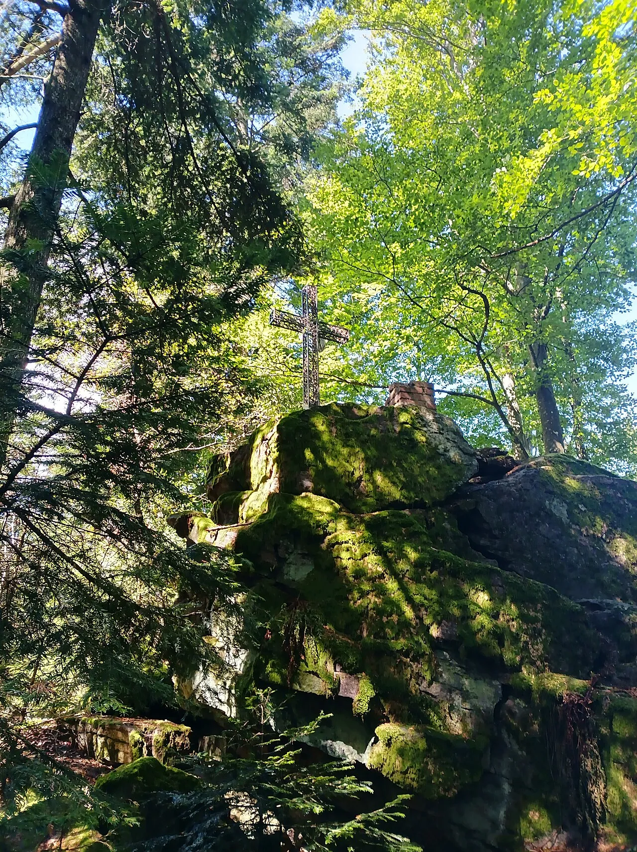
Hausstein APneunzehn74 · CC BY-SA 4.0 -
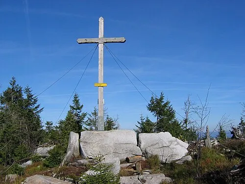
Einödriegel MisterPicture · CC BY-SA 3.0 -
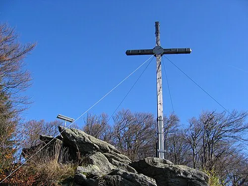
Dreitannenriegel MisterPicture · CC BY-SA 3.0 -
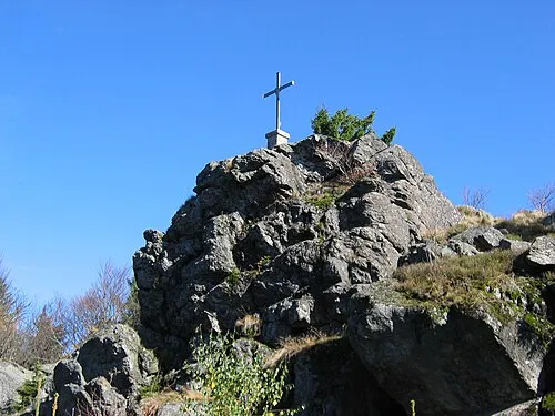
Breitenauriegel MisterPicture · CC BY-SA 3.0 -
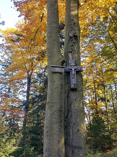
Geißriegel APneunzehn74 · CC BY-SA 4.0


Climate of Tattenberg
Best months for sightseeingBest months for sightseeing: June–August.
This month · November
A cold month
Day 5° · Night -1° · Rain 85 mm
- Hottest month
- July (day 21°)
- Coldest month
- January (night -5°)
- Wettest month
- July (124 mm)
- Driest month
- April (64 mm)
Bars: average monthly low and high temperature. Below: precipitation. Monthly averages for 1970–2000 at about 18 km resolution, adjusted for elevation. Highlighted months are mild and relatively dry. Source: WorldClim 2.1 (CC BY 4.0).
Show values as a table
| Month | Jan | Feb | Mar | Apr | May | Jun | Jul | Aug | Sep | Oct | Nov | Dec |
|---|---|---|---|---|---|---|---|---|---|---|---|---|
| Average high (°C) | 1° | 3° | 6° | 11° | 17° | 19° | 21° | 21° | 17° | 12° | 5° | 2° |
| Average low (°C) | -5° | -5° | -2° | 1° | 6° | 9° | 11° | 11° | 7° | 3° | -1° | -4° |
| Precipitation (mm) | 90 | 71 | 81 | 64 | 81 | 108 | 124 | 101 | 82 | 77 | 85 | 107 |
How to get to Tattenberg
The nearest airport is České Budějovice South Bohemian Airport (JCL), 104 km to the east as the crow flies. The nearest large city is Regensburg, 69 km to the west.
Airports
- České Budějovice South Bohemian Airport (JCL) České Budějovice 104 kmeast
- Munich Airport (MUC) Munich 107 kmsouthwest
- Linz-Hörsching Airport (LNZ) Linz 111 kmsoutheast
Nearby large cities
- Regensburg Population: 151.4K 69 kmwest
- Linz Population: 204.8K 112 kmsoutheast
- Ingolstadt Population: 120.7K 118 kmwest
- Salzburg Population: 157.2K 118 kmsouth
- Munich Population: 1.5M 134 kmsouthwest
Straight-line distances; road distances are longer. Airport data: OurAirports.
Day trips from Tattenberg
Within 100 km: 156 historic and cultural sites, 1,084 natural sites, 360 lakes, rivers and coasts.
0–25 km137 places
- Bohemian Forest Mountain 15 kmN
- Isar River 8 kmS
- Hackerweiher Lake 11 kmSW
- Burgsee Lake 10 kmSW
25–60 km607 places
- Biber-Revier River 37 kmN
- Teufelsstein Mountain 60 kmSE
- Hamberg Mountain 46 kmSE
- Ringlholz Natural site 56 kmSE
60–100 km856 places
- Obertrumer See Lake 100 kmS
- Niedertrumer See Lake 98 kmS
- Grabensee Lake 98 kmS
- Rannasee Lake 67 kmSE
Straight-line distances.
Nearby attractions & nature
Everything nearby-
Hirschenkopf Mountain, Deggendorf3.6 km NE
-
Dreitannenriegel Mountain, Grafling3.7 km N
-
Fernmeldeturm Hochoberndorf Landmark, Grafling2.4 km NW
-
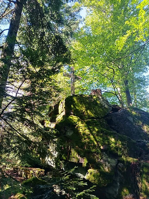 Hausstein Mountain, Schaufling3.9 km E
-
Breitenauriegel Mountain, Deggendorf4.8 km N
-
Geißriegel Mountain, Grafling4.5 km N
Sources & licences
Data last updated: