Landkreis Bad Kissingen
Located in Lower Franconia, Bavaria Coordinates: 50°13′12″ N 9°59′16″ E
- Population
- 103,489
- 103.5K
- Elevation
- 330 m
- above sea level
- Local time
- UTC+01:00
- Europe/Berlin · UTC+01:00
- Places inside
- 26
- listed under Landkreis Bad Kissingen
- Airports
- FRA Frankfurt Main Airport104 km
- ERF Erfurt-Weimar Airport109 km
About Landkreis Bad Kissingen
Landkreis Bad Kissingen is a municipality. Location: Lower Franconia, Bavaria. Population: 103,489. Elevation: 330 m. The best months to visit are June–August. The nearest airport is Frankfurt Main Airport (104 km). Nearby sights include Klauswald and Auraer Wald.
Photos of Landkreis Bad Kissingen
-
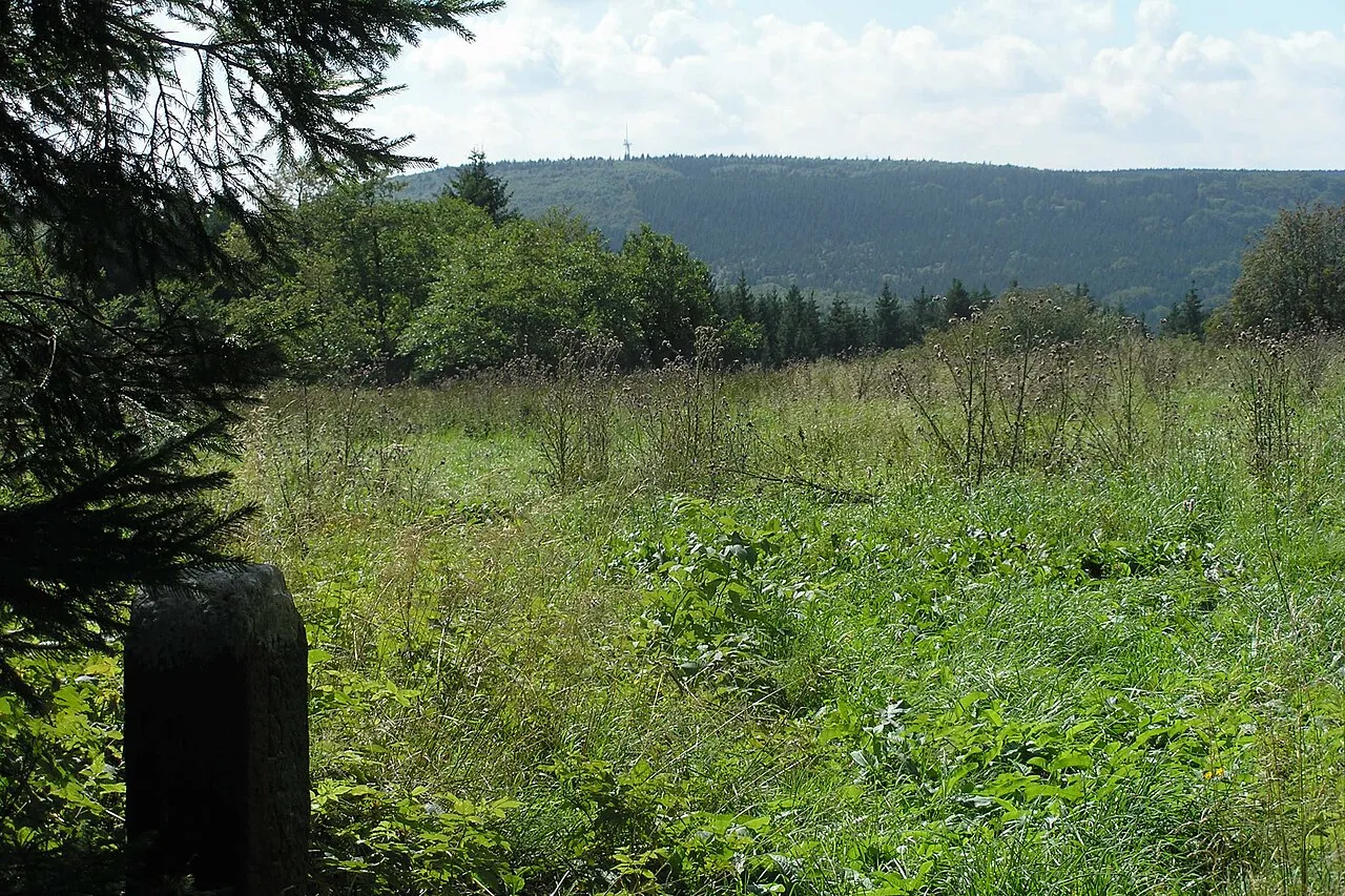
Totnansberg Bonnlander · CC BY-SA 3.0 -
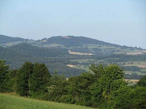
Platzer Kuppe Jörg Braukmann · CC BY-SA 3.0 -
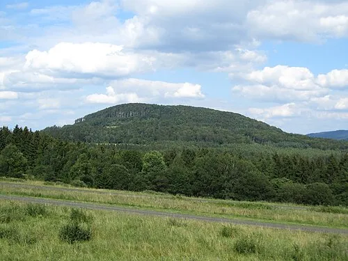
Großer Auersberg J. Braukmann Milseburg · CC BY-SA 3.0 -
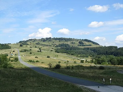
Kleiner Auersberg J. Braukmann Milseburg · CC BY-SA 3.0 -
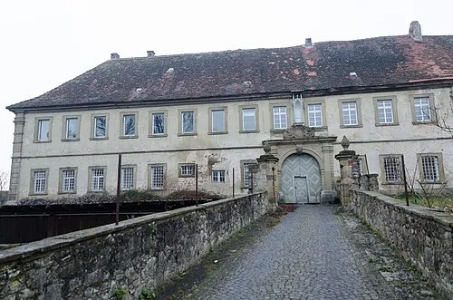
Schloss Ebenhausen Tilman2007 · CC BY-SA 3.0


Climate of Landkreis Bad Kissingen
Best months for sightseeingBest months for sightseeing: June–August.
This month · November
A cold month
Day 6° · Night 1° · Rain 81 mm
- Hottest month
- July (day 23°)
- Coldest month
- January (night -2°)
- Wettest month
- December (104 mm)
- Driest month
- April (57 mm)
Bars: average monthly low and high temperature. Below: precipitation. Monthly averages for 1970–2000 at about 18 km resolution, adjusted for elevation. Highlighted months are mild and relatively dry. Source: WorldClim 2.1 (CC BY 4.0).
Show values as a table
| Month | Jan | Feb | Mar | Apr | May | Jun | Jul | Aug | Sep | Oct | Nov | Dec |
|---|---|---|---|---|---|---|---|---|---|---|---|---|
| Average high (°C) | 2° | 4° | 8° | 13° | 18° | 21° | 23° | 23° | 18° | 12° | 6° | 4° |
| Average low (°C) | -2° | -2° | 1° | 4° | 8° | 11° | 13° | 13° | 9° | 5° | 1° | -1° |
| Precipitation (mm) | 86 | 68 | 73 | 57 | 67 | 75 | 79 | 61 | 65 | 80 | 81 | 104 |
How to get to Landkreis Bad Kissingen
The nearest airport is Frankfurt Main Airport (FRA), 104 km to the west as the crow flies. The nearest large city is Würzburg, 47 km to the south.
Airports
- Frankfurt Main Airport (FRA) Frankfurt am Main 104 kmwest
- Erfurt-Weimar Airport (ERF) Erfurt 109 kmnortheast
- Nuremberg Airport (NUE) Nuremberg 112 kmsoutheast
Nearby large cities
- Würzburg Population: 133.7K 47 kmsouth
- Offenbach Population: 119.2K 88 kmwest
- Frankfurt am Main Population: 650K 94 kmwest
- Erlangen Population: 102.7K 101 kmsoutheast
- Darmstadt Population: 167K 103 kmwest
Straight-line distances; road distances are longer. Airport data: OurAirports.
Day trips from Landkreis Bad Kissingen
Within 100 km: 1,133 historic and cultural sites, 5,097 natural sites, 837 lakes, rivers and coasts.
0–25 km313 places
- Zornberg Mountain 21 kmN
- Zimmerberg Mountain 16 kmS
- Windbühl Mountain 22 kmW
- Teufelsberg Mountain 23 kmN
25–60 km2,218 places
- Badsee Lake 46 kmSE
- Unterer Metzenweiher Lake 41 kmN
- Sennfelder See Lake 27 kmSE
- Talsperre Schwickershausen Lake 38 kmNE
60–100 km4,536 places
- Waldstadion Weismain Landmark 91 kmE
- Umpfer River 77 kmS
- Uzbach River 77 kmS
- Felda River 69 kmN
Straight-line distances.
Landkreis Bad Kissingen and similar cities
Side by side with cities of similar size in the same country: population, elevation and climate.
| Measure | Landkreis Bad Kissingen | Moers | Erlangen | Gera |
|---|---|---|---|---|
| Population | 103.5K | 103.5K | 102.7K | 104.7K |
| Elevation | 330 m | 29 m | 290 m | 203 m |
| Summer day (hottest month) | 23° | 24° | 24° | 24° |
| Winter night (coldest month) | -2° | 1° | -3° | -2° |
| Annual rainfall | 896 mm | 770 mm | 745 mm | 602 mm |
| Best months | Jun–Aug | Jun–Sep | May–Sep | Jun–Sep |
| Distance | — | 273 km | 101 km | 166 km |
Climate values are 1970–2000 monthly averages; straight-line distance.
Places in Landkreis Bad Kissingen
26 places- 1 Bad Kissingen 23.2K
- 2 Hammelburg 10.7K
- 3 Münnerstadt 7.6K
- 4 Burkardroth, Markt 7.4K
- 5 Bad Brückenau 6.5K
- 6 Oerlenbach 5.1K
- 7 Oberthulba, Markt 4.9K
- 8 Bad Bocklet, Markt 4.7K
- 9 Maßbach, Markt 4.3K
- 10 Nüdlingen 3.9K
- 11 Wildflecken, Markt 2.9K
- 12 Elfershausen, Markt 2.8K
- 13 Wartmannsroth 2.1K
- 14 Oberleichtersbach 2.1K
- 15 Zeitlofs, Markt 2K
- 16 Fuchsstadt 1.9K
- 17 Motten 1.7K
- 18 Schondra, Markt 1.6K
- 19 Euerdorf, Markt 1.5K
- 20 Ramsthal 1.1K
- 21 Rannungen 1.1K
- 22 Thundorf i.UFr. 984
- 23 Riedenberg 948
- 24 Aura a.d.Saale 857
- 25 Sulzthal, Markt 850
- 26 Geroda, Markt 796
Bar: population relative to the most populous place in this list.
Nearby attractions & nature
Everything nearby-
Klauswald Natural site, Bavaria4.5 km NE
-
Auraer Wald Natural site, Bavaria4.6 km SE
-
Nüdlinger Bach River, Bavaria5.7 km E
-
Weipertswald Natural site, Bavaria6.6 km W
-
Burkhartsberg Mountain, Bavaria7 km NW
-
Aschach River, Bavaria6.7 km NE
-
Appenhahn Natural site, Bavaria7.5 km N
-
Leibbach River, Bavaria7.3 km SW
Sources & licences
Data last updated: