Jackdaws Tower
Located in Augsburg, Kreisfreie Stadt Augsburg Coordinates: 48°22′32″ N 10°54′03″ E
- Local time
- UTC+01:00
- Europe/Berlin · UTC+01:00
- Elevation
- 484 m
- above sea level
- Airports
- FMM Memmingen Allgau Airport65 km
- MUC Munich Airport66 km
About Jackdaws Tower
Jackdaws Tower is a historic site. Location: Augsburg, Kreisfreie Stadt Augsburg. The best months to visit are June–August. The nearest airport is Memmingen Allgau Airport (65 km). Nearby sights include Perlach Tower and Schwedenweg North Tower.
Photos of Jackdaws Tower
-
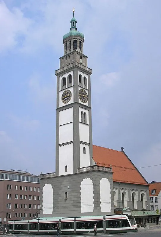
Perlach Tower Wikimedia Commons · CC BY-SA 3.0

Climate of Jackdaws Tower
Best months for sightseeingBest months for sightseeing: June–August.
This month · November
A cold month
Day 6° · Night 0° · Rain 64 mm
- Hottest month
- July (day 23°)
- Coldest month
- January (night -4°)
- Wettest month
- June (105 mm)
- Driest month
- January (46 mm)
Bars: average monthly low and high temperature. Below: precipitation. Monthly averages for 1970–2000 at about 18 km resolution, adjusted for elevation. Highlighted months are mild and relatively dry. Source: WorldClim 2.1 (CC BY 4.0).
Show values as a table
| Month | Jan | Feb | Mar | Apr | May | Jun | Jul | Aug | Sep | Oct | Nov | Dec |
|---|---|---|---|---|---|---|---|---|---|---|---|---|
| Average high (°C) | 2° | 4° | 9° | 13° | 18° | 21° | 23° | 23° | 19° | 13° | 6° | 3° |
| Average low (°C) | -4° | -3° | 0° | 3° | 7° | 11° | 13° | 12° | 9° | 5° | 0° | -2° |
| Precipitation (mm) | 46 | 49 | 48 | 64 | 85 | 105 | 104 | 94 | 73 | 62 | 64 | 58 |
How to get to Jackdaws Tower
The nearest airport is Memmingen Allgau Airport (FMM), 65 km to the southwest as the crow flies. The nearest large city is Augsburg, 1 km to the south.
Airports
- Memmingen Allgau Airport (FMM) Memmingen 65 kmsouthwest
- Munich Airport (MUC) Munich 66 kmeast
- Nuremberg Airport (NUE) Nuremberg 126 kmnorth
Nearby large cities
- Augsburg Population: 301.1K 1 kmsouth
- Munich Population: 1.5M 57 kmsoutheast
- Ingolstadt Population: 120.7K 58 kmnortheast
- Ulm Population: 120.5K 67 kmwest
- Regensburg Population: 151.4K 113 kmnortheast
Straight-line distances; road distances are longer. Airport data: OurAirports.
Day trips from Jackdaws Tower
Within 100 km: 807 historic and cultural sites, 2,691 natural sites, 891 lakes, rivers and coasts.
0–25 km247 places
- Stempflesee Lake 4 kmS
- Weiherberg Mountain 19 kmNW
- Ulrichsberg Mountain 12 kmE
- Steineberg Mountain 12 kmW
25–60 km1,160 places
- elf-pavlik's tent Historic site 58 kmE
- Zusam River 38 kmN
- Schwedeninsel Island 50 kmS
- Roseninsel Island 57 kmSE
60–100 km2,982 places
- Bayerisches Oberland Mountain 87 kmSE
- Schloss Hirschberg am Haarsee Historic site 67 kmS
- Urisee Lake 98 kmS
- Schönjöchl Mountain 98 kmS
Straight-line distances.
Nearby attractions & nature
Everything nearby-
Perlach Tower Historic site, Augsburg0.7 km S
-
Schwedenweg North Tower Historic site, Augsburg0.1 km N
-
Augsburg, Kirche St. Stephan Attraction, Augsburg0.1 km NW
-
Oblatterwall Bastion Historic site, Augsburg0.4 km E
-
cathedral Attraction, Augsburg0.4 km SW
-
Lueginsland Bastion Historic site, Augsburg0.5 km NW
-
Five-Ridge Tower Historic site, Augsburg0.5 km SE
-
Augsburg Concentration Camp Historic site, Augsburg0.6 km SW
Nearest towns and villages
-
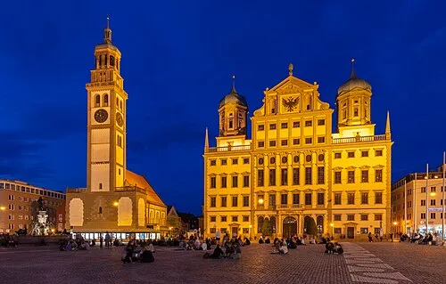 Augsburg City, Augsburg0.5 km S
-
Augsburg-Lechviertel Village, Augsburg1.2 km S
-
Stadtbergen Town, Stadtbergen, Markt4.2 km W
-
Stadtbergen, Markt Village, Landkreis Augsburg4.5 km W
Sources & licences
Data last updated: