- Population
- 82,399
- 82.4K
- Elevation
- 496 m
- above sea level
- Local time
- UTC+01:00
- Europe/Berlin · UTC+01:00
- Places inside
- 19
- listed under Landkreis Lindau
- Airports
- ACH Sankt Gallen Altenrhein Airport16 km
- FDH Bodensee Airport Friedrichshafen20 km
About Landkreis Lindau
Landkreis Lindau is a municipality. Location: Swabia, Bavaria. Population: 82,399. Elevation: 496 m. The best months to visit are June–September. The nearest airport is Sankt Gallen Altenrhein Airport (16 km). Nearby sights include Weißenberger Weiher and Berger Bach.
Photos of Landkreis Lindau
-
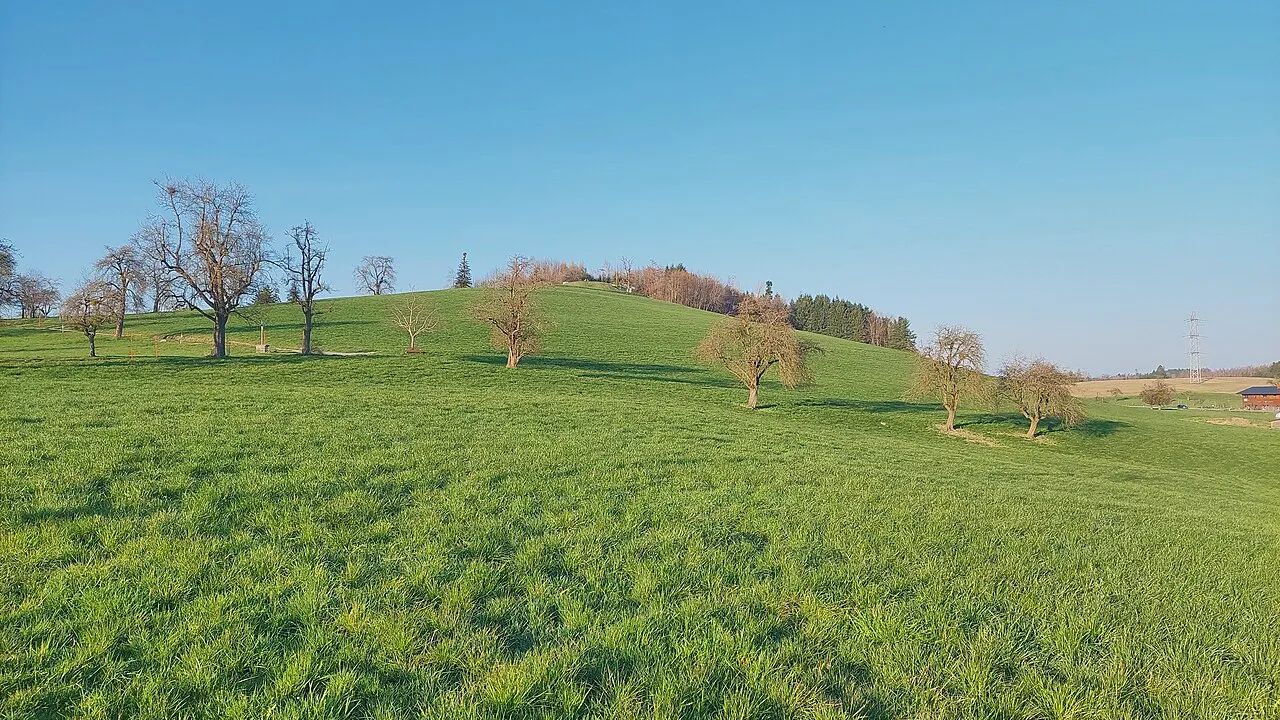
Hochberg Harald Hetzner · CC0 -
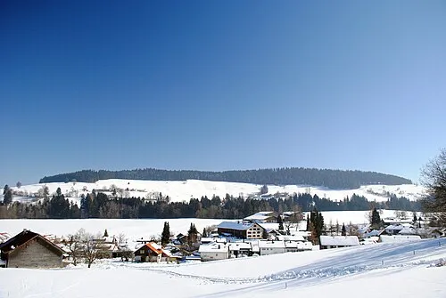
Balzerberg Clemenspool · CC BY-SA 3.0 -
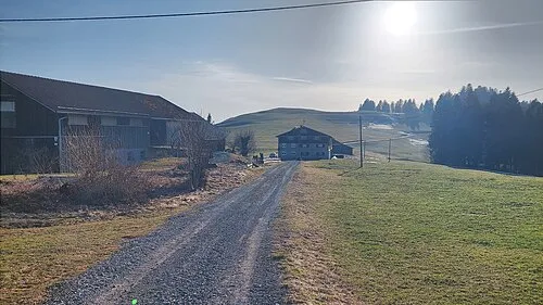
Am Kapf Harald Hetzner · CC0 -
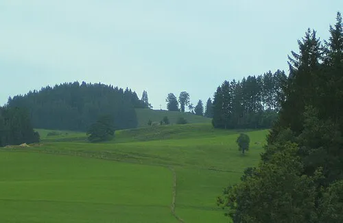
Riedholzer Kugel Bene16 · CC BY-SA 3.0 -
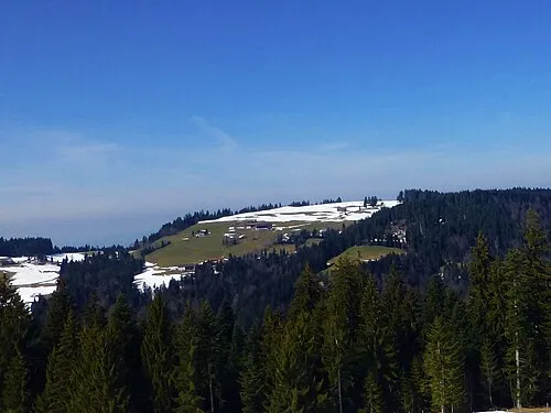
Hochberg Reinhard Müller · CC BY-SA 4.0


Climate of Landkreis Lindau
Best months for sightseeingBest months for sightseeing: June–September.
This month · November
A wet month
Day 7° · Night 1° · Rain 110 mm
- Hottest month
- July (day 23°)
- Coldest month
- January (night -3°)
- Wettest month
- June (167 mm)
- Driest month
- January (75 mm)
Bars: average monthly low and high temperature. Below: precipitation. Monthly averages for 1970–2000 at about 18 km resolution, adjusted for elevation. Highlighted months are mild and relatively dry. Source: WorldClim 2.1 (CC BY 4.0).
Show values as a table
| Month | Jan | Feb | Mar | Apr | May | Jun | Jul | Aug | Sep | Oct | Nov | Dec |
|---|---|---|---|---|---|---|---|---|---|---|---|---|
| Average high (°C) | 3° | 4° | 9° | 13° | 18° | 21° | 23° | 23° | 19° | 13° | 7° | 4° |
| Average low (°C) | -3° | -2° | 1° | 4° | 8° | 12° | 14° | 14° | 10° | 6° | 1° | -1° |
| Precipitation (mm) | 75 | 79 | 84 | 110 | 131 | 167 | 164 | 150 | 120 | 96 | 110 | 92 |
Other places to visit in this season: June July August September
How to get to Landkreis Lindau
The nearest airport is Sankt Gallen Altenrhein Airport (ACH), 16 km to the southwest as the crow flies. For international flights: Bodensee Airport Friedrichshafen (FDH) (20 km). The nearest large city is Winterthur, 76 km to the west.
Airports
- Sankt Gallen Altenrhein Airport (ACH) St. Gallen 16 kmsouthwest
- Bodensee Airport Friedrichshafen (FDH) Friedrichshafen 20 kmnorthwest
- Memmingen Allgau Airport (FMM) Memmingen 60 kmnortheast
Nearby large cities
- Winterthur Population: 111.8K 76 kmwest
- Zurich Population: 415.4K 92 kmwest
- Ulm Population: 120.5K 94 kmnorth
- Reutlingen Population: 112.6K 110 kmnorth
- Augsburg Population: 301.1K 125 kmnortheast
Straight-line distances; road distances are longer. Airport data: OurAirports.
Day trips from Landkreis Lindau
Within 100 km: 533 historic and cultural sites, 5,289 natural sites, 1,171 lakes, rivers and coasts.
0–25 km290 places
- Weiher Diepoldsau Lake 21 kmS
- Alter Rhein Lake 23 kmS
- Nollen Lake 20 kmS
- Nollen Lake 20 kmS
25–60 km1,963 places
- Mainau Island 43 kmW
- Dominikanerinsel Konstanz Island 43 kmW
- Strandbad Steckborn Beach 58 kmW
- Voralpsee Lake 53 kmSW
60–100 km4,740 places
- Fahr Abbey Attraction 99 kmW
- Ufenau Island 82 kmSW
- Insel Lützelau Island 80 kmSW
- Schönenwerd Island 86 kmSW
Straight-line distances.
Landkreis Lindau and similar cities
Side by side with cities of similar size in the same country: population, elevation and climate.
| Measure | Landkreis Lindau | Giessen | Arnsberg | Detmold |
|---|---|---|---|---|
| Population | 82.4K | 89.2K | 74.9K | 73.7K |
| Elevation | 496 m | 162 m | 295 m | 135 m |
| Summer day (hottest month) | 23° | 24° | 21° | 22° |
| Winter night (coldest month) | -3° | -1° | -2° | -1° |
| Annual rainfall | 1,378 mm | 681 mm | 1,046 mm | 969 mm |
| Best months | Jun–Sep | Jun–Aug | Jun–Aug | Jun–Aug |
| Distance | — | 344 km | 440 km | 490 km |
Climate values are 1970–2000 monthly averages; straight-line distance.
Places in Landkreis Lindau
19 places- 1 Lindau (Bodensee) 25.8K
- 2 Lindenberg i.Allgäu 11.6K
- 3 Weiler-Simmerberg, Markt 6.4K
- 4 Scheidegg, Markt 4.4K
- 5 Wasserburg (Bodensee) 3.8K
- 6 Heimenkirch, Markt 3.5K
- 7 Bodolz 3K
- 8 Sigmarszell 2.9K
- 9 Weißensberg 2.7K
- 10 Hergatz 2.4K
- 11 Opfenbach 2.3K
- 12 Röthenbach (Allgäu) 2K
- 13 Hergensweiler 1.9K
- 14 Stiefenhofen 1.9K
- 15 Nonnenhorn 1.8K
- 16 Oberreute 1.7K
- 17 Grünenbach 1.6K
- 18 Maierhöfen 1.5K
- 19 Gestratz 1.3K
Bar: population relative to the most populous place in this list.
Nearby attractions & nature
Everything nearby-
Weißenberger Weiher Lake, Bavaria1.7 km N
-
Berger Bach River, Vorarlberg2.2 km SE
-
Seiler Bach River, Vorarlberg2.6 km NE
-
Kloster Maria Stern Attraction, Hörbranz3 km E
-
Kloster Mariastern-Gwiggen Attraction, Hohenweiler3.4 km E
-
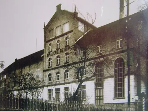 Lochau Concentration Camp Historic site, Lochau4.8 km S
-
Gwiggerbach River, Vorarlberg3.1 km E
-
Handreute Mountain, Möggers4.3 km E
Sources & licences
Data last updated: