Fall
Located in Lenggries, Landkreis Bad Tölz-Wolfratshausen Coordinates: 47°34′10″ N 11°31′56″ E
- Population
- 300
- 300
- Elevation
- 776 m
- above sea level
- Local time
- UTC+01:00
- Europe/Berlin · UTC+01:00
- Airports
- INN Innsbruck Airport37 km
- MUC Munich Airport89 km
About Fall
Fall is a village. Location: Lenggries, Landkreis Bad Tölz-Wolfratshausen. Population: 300. Elevation: 776 m.
Fall is, or was respectively, a small village (Kirchdorf) in the Lenggries municipality in Landkreis Bad Tölz-Wolfratshausen, Upper Bavaria, Germany. It is located on an peninsula of Lake Sylvenstein. It is named after Faller Klamm, which is located northward. It had previously been called Am Fall and Zum Faal. The village is first mentioned as a farm house, in 1280. In 1954, the old village was abandoned due to the construction of the Sylvenstein Dam (Sylvensteinspeicher).
Source: Wikipedia · CC BY-SA 4.0
Photos of Fall
-
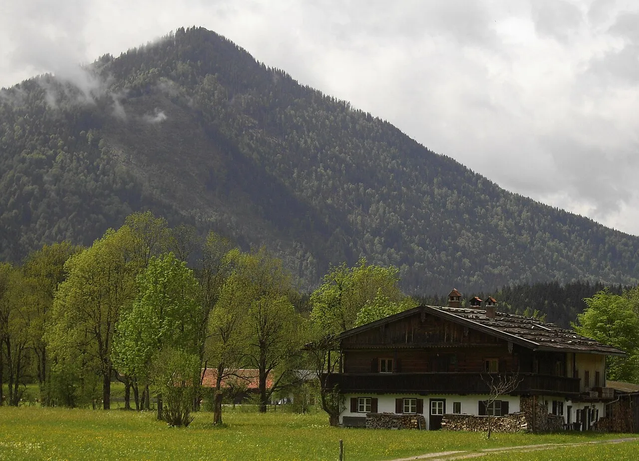
Staffel Jost Gudelius · Public domain -
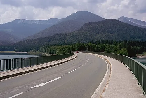
Roßkopf Flocci Nivis · CC BY 4.0 -
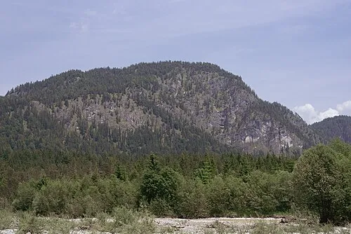
Niederskopf Flocci Nivis · CC BY 4.0 -
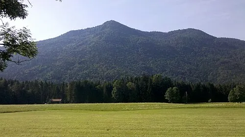
Hohenwiesner Berg Wasquewhat · CC BY-SA 4.0 -
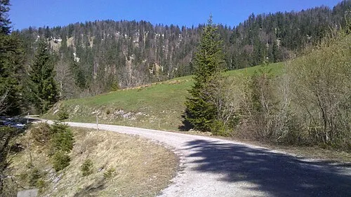
Brandkopf Wasquewhat · CC BY-SA 4.0


Population of Fall over time
| 1875 | 60 | |
|---|---|---|
| 1925 | 300 | |
| 1950 | 122 | |
| 1970 | 136 | |
| 1987 | 113 |
Censuses and official estimates; source: Wikidata.
Climate of Fall
Best months for sightseeingBest months for sightseeing: June–September.
This month · November
A cold month
Day 8° · Night 1° · Rain 91 mm
- Hottest month
- July (day 22°)
- Coldest month
- January (night -3°)
- Wettest month
- July (179 mm)
- Driest month
- February (65 mm)
Bars: average monthly low and high temperature. Below: precipitation. Monthly averages for 1970–2000 at about 18 km resolution, adjusted for elevation. Highlighted months are mild and relatively dry. Source: WorldClim 2.1 (CC BY 4.0).
Show values as a table
| Month | Jan | Feb | Mar | Apr | May | Jun | Jul | Aug | Sep | Oct | Nov | Dec |
|---|---|---|---|---|---|---|---|---|---|---|---|---|
| Average high (°C) | 4° | 5° | 8° | 12° | 17° | 20° | 22° | 22° | 18° | 14° | 8° | 5° |
| Average low (°C) | -3° | -2° | 0° | 3° | 8° | 11° | 13° | 13° | 10° | 6° | 1° | -1° |
| Precipitation (mm) | 67 | 65 | 85 | 98 | 124 | 168 | 179 | 163 | 111 | 83 | 91 | 82 |
Other places to visit in this season: June July August September
How to get to Fall
The nearest airport is Innsbruck Airport (INN), 37 km to the south as the crow flies. The nearest large city is Innsbruck, 36 km to the south.
Airports
- Innsbruck Airport (INN) Innsbruck 37 kmsouth
- Munich Airport (MUC) Munich 89 kmnorth
- Memmingen Allgau Airport (FMM) Memmingen 108 kmnorthwest
Nearby large cities
- Innsbruck Population: 132.5K 36 kmsouth
- Munich Population: 1.5M 63 kmnorth
- Augsburg Population: 301.1K 101 kmnorthwest
- Salzburg Population: 157.2K 116 kmeast
- Ingolstadt Population: 120.7K 133 kmnorth
Straight-line distances; road distances are longer. Airport data: OurAirports.
Day trips from Fall
Within 100 km: 402 historic and cultural sites, 4,184 natural sites, 1,224 lakes, rivers and coasts.
0–25 km694 places
- Bayerisches Oberland Mountain 16 kmNW
- Zireiner See Lake 24 kmSE
- Achen Lake Lake 18 kmSE
- Delpsee Lake 7 kmS
25–60 km1,621 places
- Schloss Hirschberg am Haarsee Historic site 36 kmNW
- Wildsee Lake 39 kmSW
- Weissensee Lake 55 kmSW
- Torseen Lake 46 kmS
60–100 km3,495 places
- Frauenchiemsee Island 75 kmNE
- Herreninsel Island 73 kmNE
- elf-pavlik's tent Historic site 68 kmN
- Fürlegsee Lake 95 kmSE
Straight-line distances.
Nearby attractions & nature
Everything nearby-
Falkenberg Mountain, Lenggries1.2 km N
-
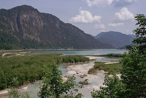 Schindelberg Mountain, Jachenau1.4 km NW
-
Roßkopf Mountain, Lenggries1.8 km S
-
Niederskopf Mountain, Lenggries2.3 km W
-
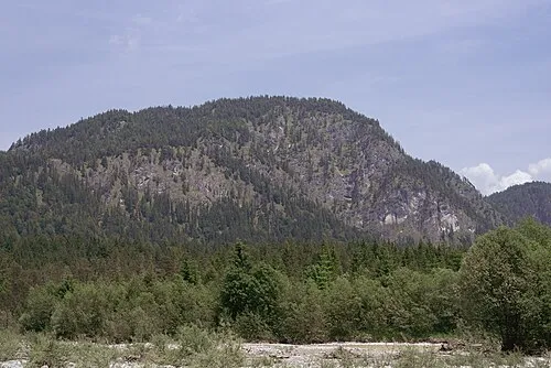 Schwarzberg Mountain, Lenggries2.3 km W
-
Sylvensteinsee Lake, Bavaria0.9 km NE
Sources & licences
Data last updated: · 2 independent sources