- Elevation
- 782 m
- above sea level
- Local time
- UTC+01:00
- Europe/Berlin · UTC+01:00
- Airports
- INN Innsbruck Airport62 km
- MUC Munich Airport67 km
About Georgenried
Georgenried is a village. Location: Waakirchen, Landkreis Miesbach. Elevation: 782 m. The best months to visit are June–September. The nearest airport is Innsbruck Airport (62 km). Nearby sights include Kaltenbrunner Eck and Hainzenhöhe.
Photos of Georgenried
-
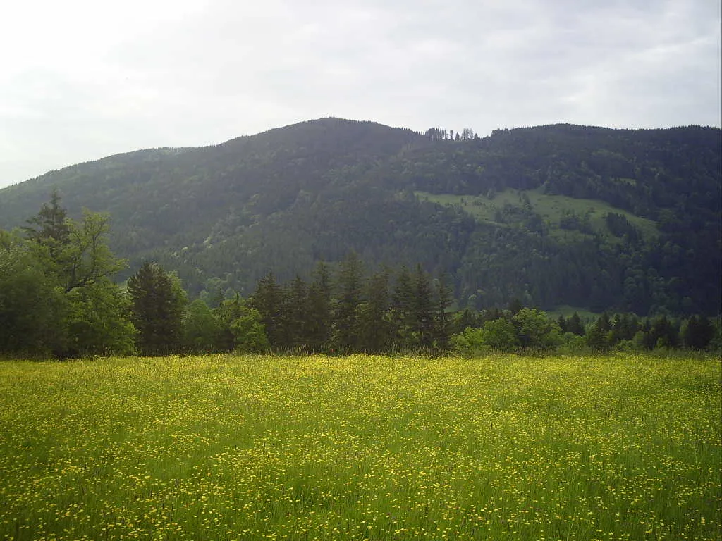
Rechelkopf Asentreu · Public domain -
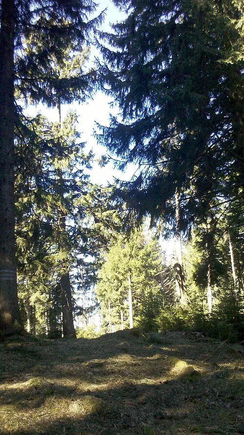
Kogel Kopf Wasquewhat · CC BY-SA 4.0 -
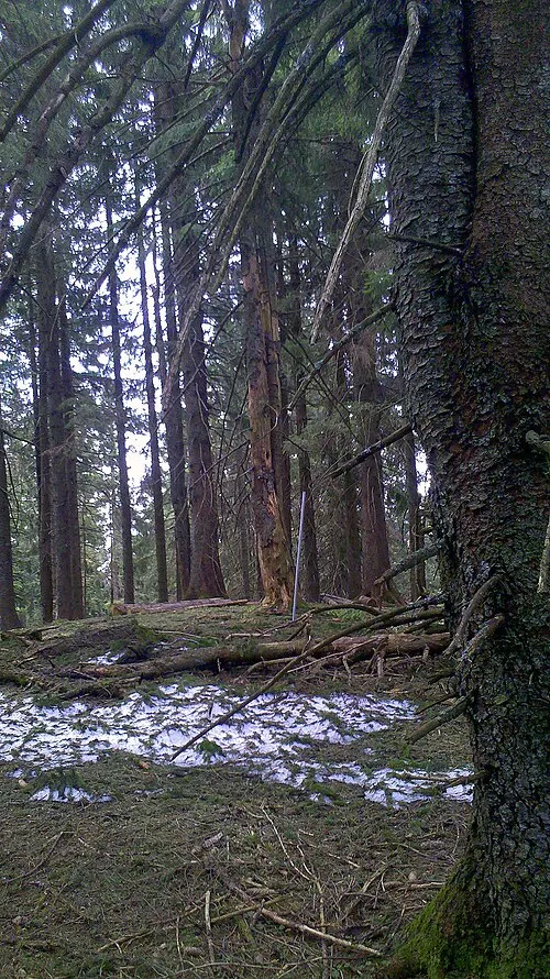
Huder Wasquewhat · CC BY-SA 4.0 -
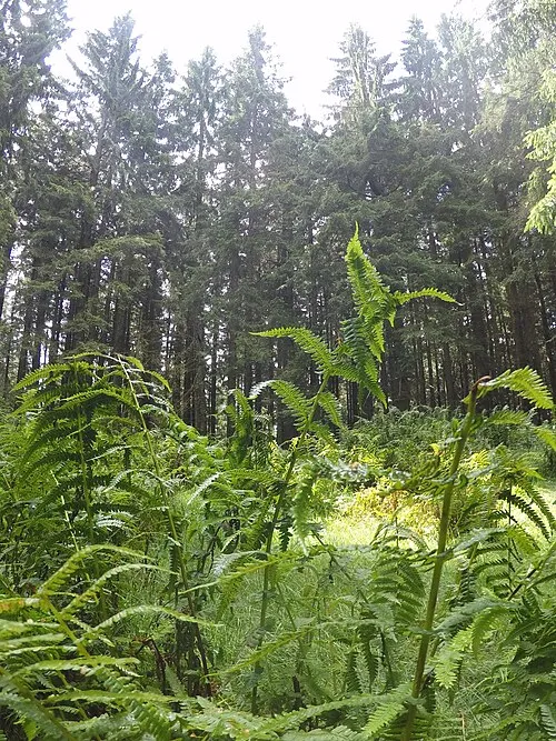
Gronetseck Wasquewhat · CC BY-SA 4.0 -
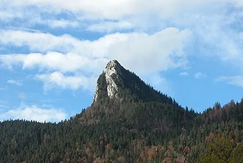
Tegernseer Berge The original uploader was Berreu at German Wikipedia · CC BY-SA 3.0


Climate of Georgenried
Best months for sightseeingBest months for sightseeing: June–September.
This month · November
A cold month
Day 7° · Night 0° · Rain 95 mm
- Hottest month
- July (day 22°)
- Coldest month
- January (night -4°)
- Wettest month
- July (173 mm)
- Driest month
- January (72 mm)
Bars: average monthly low and high temperature. Below: precipitation. Monthly averages for 1970–2000 at about 18 km resolution, adjusted for elevation. Highlighted months are mild and relatively dry. Source: WorldClim 2.1 (CC BY 4.0).
Show values as a table
| Month | Jan | Feb | Mar | Apr | May | Jun | Jul | Aug | Sep | Oct | Nov | Dec |
|---|---|---|---|---|---|---|---|---|---|---|---|---|
| Average high (°C) | 3° | 4° | 8° | 11° | 17° | 19° | 22° | 21° | 18° | 13° | 7° | 4° |
| Average low (°C) | -4° | -3° | 0° | 3° | 7° | 10° | 12° | 12° | 9° | 5° | 0° | -2° |
| Precipitation (mm) | 72 | 72 | 88 | 98 | 121 | 163 | 173 | 162 | 109 | 82 | 95 | 87 |
Other places to visit in this season: June July August September
How to get to Georgenried
The nearest airport is Innsbruck Airport (INN), 62 km to the southwest as the crow flies. The nearest large city is Munich, 43 km to the north.
Airports
- Innsbruck Airport (INN) Innsbruck 62 kmsouthwest
- Munich Airport (MUC) Munich 67 kmnorth
- Salzburg Airport (SZG) Salzburg 97 kmeast
Nearby large cities
- Munich Population: 1.5M 43 kmnorth
- Innsbruck Population: 132.5K 60 kmsouthwest
- Augsburg Population: 301.1K 91 kmnorthwest
- Salzburg Population: 157.2K 100 kmeast
- Ingolstadt Population: 120.7K 114 kmnorth
Straight-line distances; road distances are longer. Airport data: OurAirports.
Day trips from Georgenried
Within 100 km: 463 historic and cultural sites, 3,815 natural sites, 1,177 lakes, rivers and coasts.
0–25 km522 places
- Schneidjoch Mountain 22 kmS
- Schinder Mountain 21 kmSE
- Ragstatt Joch Mountain 24 kmSE
- Natterwand Mountain 21 kmS
25–60 km1,575 places
- Bayerisches Oberland Mountain 28 kmSW
- Frauenchiemsee Island 56 kmE
- Schloss Hirschberg am Haarsee Historic site 37 kmW
- Herreninsel Island 53 kmE
60–100 km3,358 places
- Fürlegsee Lake 98 kmSE
- Wildsee Lake 63 kmSW
- Eissee Lake 92 kmSE
- Brandlsee Lake 99 kmSE
Straight-line distances.
Nearby attractions & nature
Everything nearby-
Kaltenbrunner Eck Mountain, Gmund a.Tegernsee1.3 km SE
-
Hainzenhöhe Mountain, Bad Wiessee1.4 km SE
-
Gmund Concentration Camp Historic site, Gmund a.Tegernsee2.3 km E
-
Wasenkogel Mountain, Gmund a.Tegernsee3.3 km S
-
Nesselscheiberücken Mountain, Waakirchen3.9 km SW
-
Kogel Kopf Mountain, Bad Wiessee4.7 km SW
Sources & licences
Data last updated: