Buchschachen
Located in Ruhpolding, Landkreis Traunstein Coordinates: 47°45′46″ N 12°38′18″ E
- Elevation
- 671 m
- above sea level
- Local time
- UTC+01:00
- Europe/Berlin · UTC+01:00
- Airports
- SZG Salzburg Airport28 km
- MUC Munich Airport91 km
About Buchschachen
Buchschachen is a village. Location: Ruhpolding, Landkreis Traunstein. Elevation: 671 m. The best months to visit are June–September. The nearest airport is Salzburg Airport (28 km). Nearby sights include Zellerberg and Westerberg.
Photos of Buchschachen
-
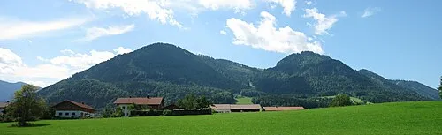
Unternberg Max1235 · CC BY-SA 3.0 -
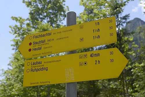
Saurüsselkopf Carl von Einem · CC BY-SA 4.0 -
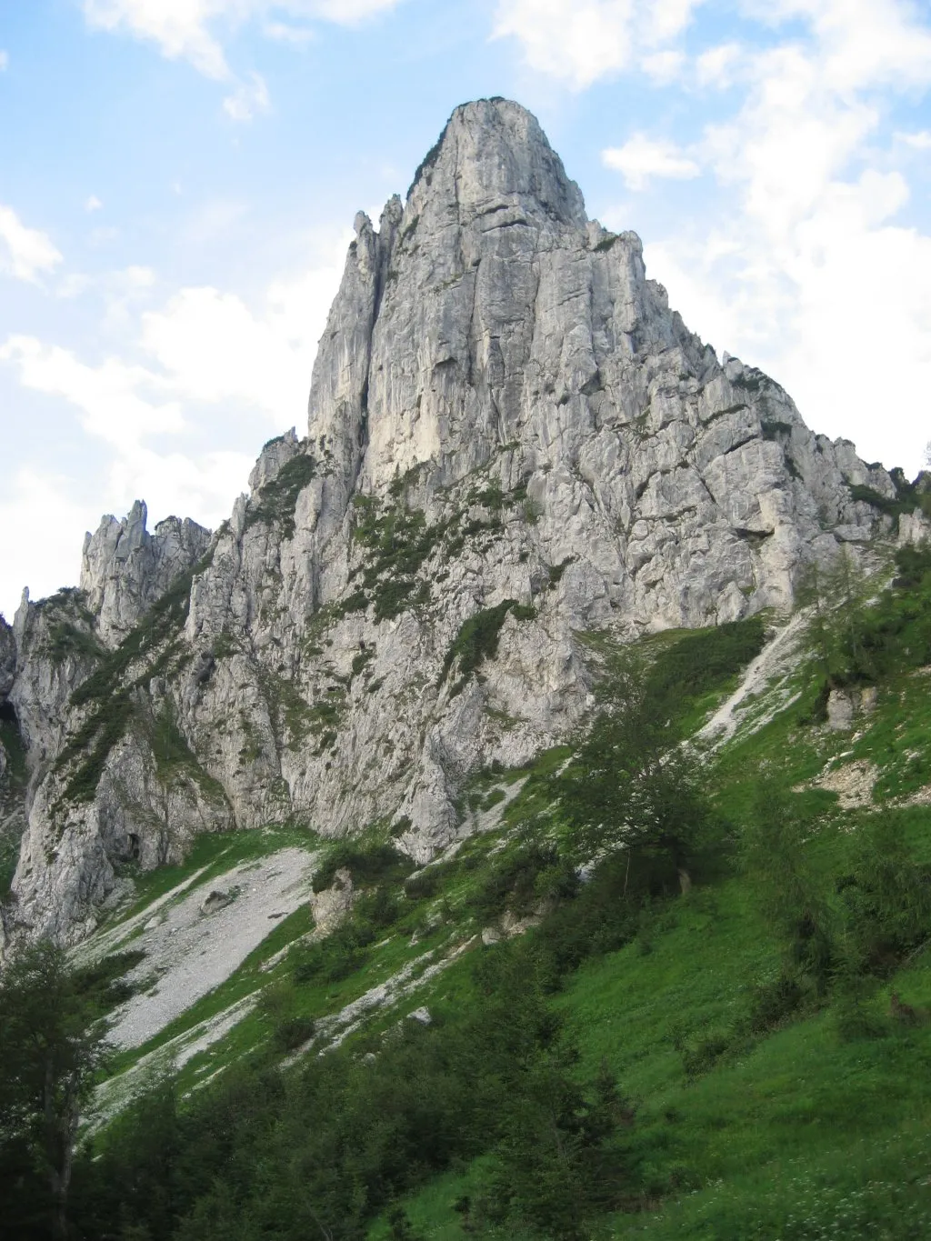
Hörndlwand Aventinus · Public domain


Climate of Buchschachen
Best months for sightseeingBest months for sightseeing: June–September.
This month · November
A cold month
Day 7° · Night 1° · Rain 93 mm
- Hottest month
- July (day 22°)
- Coldest month
- January (night -4°)
- Wettest month
- July (172 mm)
- Driest month
- February (74 mm)
Bars: average monthly low and high temperature. Below: precipitation. Monthly averages for 1970–2000 at about 18 km resolution, adjusted for elevation. Highlighted months are mild and relatively dry. Source: WorldClim 2.1 (CC BY 4.0).
Show values as a table
| Month | Jan | Feb | Mar | Apr | May | Jun | Jul | Aug | Sep | Oct | Nov | Dec |
|---|---|---|---|---|---|---|---|---|---|---|---|---|
| Average high (°C) | 4° | 5° | 8° | 12° | 17° | 20° | 22° | 22° | 18° | 14° | 7° | 4° |
| Average low (°C) | -4° | -3° | 0° | 3° | 8° | 11° | 13° | 12° | 9° | 5° | 1° | -2° |
| Precipitation (mm) | 80 | 74 | 92 | 93 | 114 | 163 | 172 | 155 | 107 | 80 | 93 | 95 |
Other places to visit in this season: June July August September
How to get to Buchschachen
The nearest airport is Salzburg Airport (SZG), 28 km to the east as the crow flies. The nearest large city is Salzburg, 31 km to the east.
Airports
- Salzburg Airport (SZG) Salzburg 28 kmeast
- Munich Airport (MUC) Munich 91 kmnorthwest
- Innsbruck Airport (INN) Innsbruck 112 kmsouthwest
Nearby large cities
- Salzburg Population: 157.2K 31 kmeast
- Munich Population: 1.5M 90 kmnorthwest
- Innsbruck Population: 132.5K 109 kmsouthwest
- Linz Population: 204.8K 137 kmnortheast
- Ingolstadt Population: 120.7K 143 kmnorthwest
Straight-line distances; road distances are longer. Airport data: OurAirports.
Day trips from Buchschachen
Within 100 km: 379 historic and cultural sites, 3,642 natural sites, 1,127 lakes, rivers and coasts.
0–25 km376 places
- Frauenchiemsee Island 20 kmNW
- Herreninsel Island 21 kmNW
- Taubensee Lake 17 kmSW
- Wildalphorn Mountain 11 kmS
25–60 km1,216 places
- Brandlsee Lake 60 kmS
- Zellersee Lake 52 kmE
- Lake Zell Lake 51 kmS
- Wildsee Lake 37 kmS
60–100 km3,556 places
- Hoher Dachstein Mountain 79 kmSE
- Bayerisches Oberland Mountain 96 kmW
- elf-pavlik's tent Historic site 89 kmNW
- Fürlegsee Lake 70 kmS
Straight-line distances.
Nearby attractions & nature
Everything nearby-
Zellerberg Mountain, Ruhpolding2 km E
-
Westerberg Mountain, Ruhpolding1.8 km NW
-
Haßlberg Mountain, Ruhpolding2.2 km SW
-
Neustadler Berg Mountain, Ruhpolding2.4 km NW
-
Urschlauer Achen River, Bavaria1 km NE
-
Steinbach River, Bavaria1 km NE
Sources & licences
Data last updated: