Gartenstadt Trudering
Located in Munich, Munich, Urban District Coordinates: 48°06′54″ N 11°39′29″ E
- Elevation
- 532 m
- above sea level
- Local time
- UTC+01:00
- Europe/Berlin · UTC+01:00
- Airports
- MUC Munich Airport28 km
- INN Innsbruck Airport98 km
About Gartenstadt Trudering
Gartenstadt Trudering is a neighbourhood. Location: Munich, Munich, Urban District. The best months to visit are June–September. The nearest airport is Munich Airport (28 km). Nearby sights include Ostpark and Eisstadion.
Photos of Gartenstadt Trudering
-
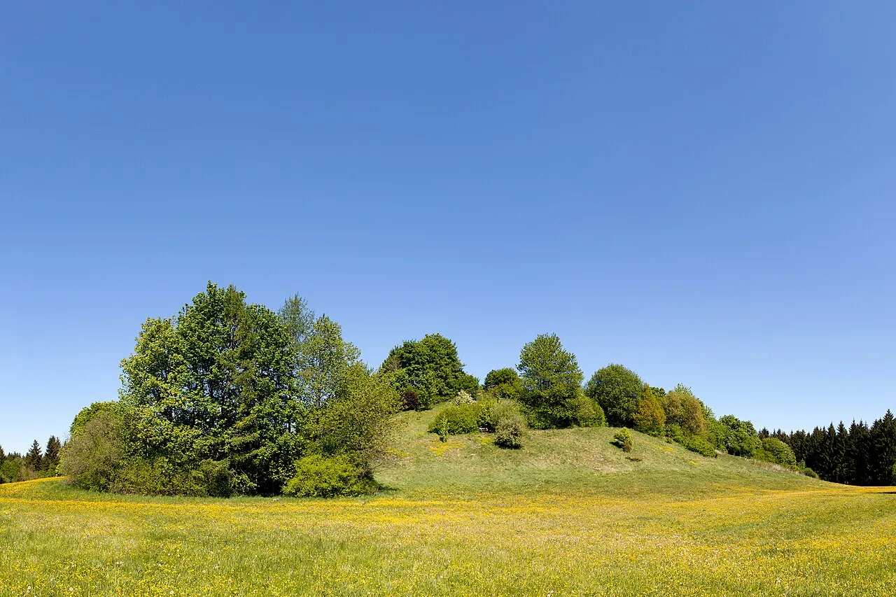
Perlacher Mugl Richard Bartz · CC BY-SA 3.0 -
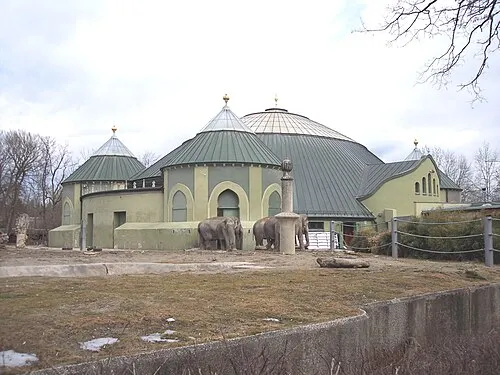
Hellabrunn Zoo No machine-readable author provided. Maxl assumed · Public domain -
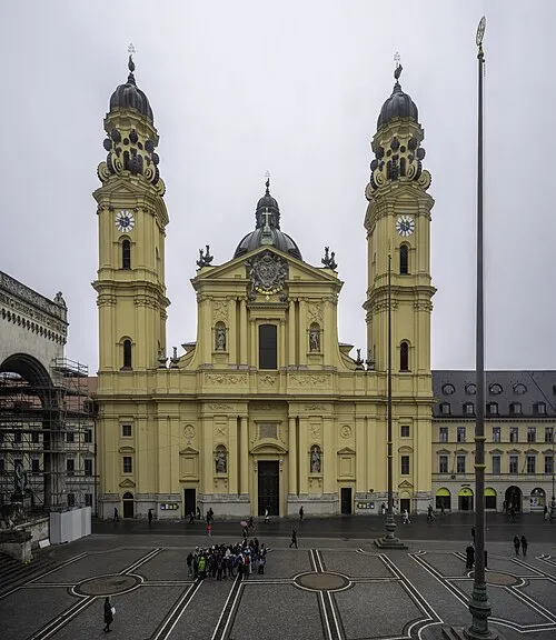
Saint Cajetan Church Wilfredor · CC0 -
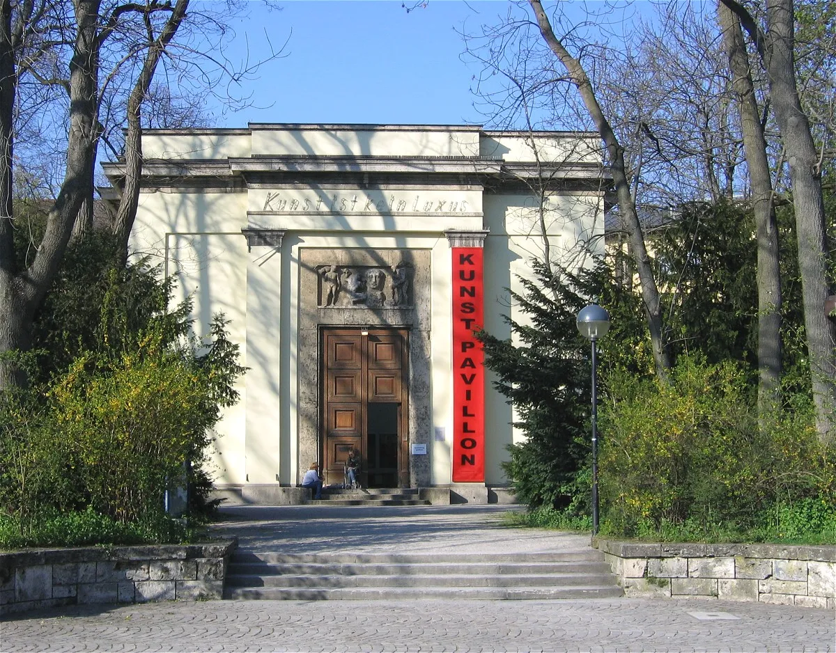
Alter Botanischer Garten Rufus46 · CC BY-SA 3.0 -

Staatliche Antiken-sammlungen München Burkhard Mücke · CC BY-SA 4.0


Climate of Gartenstadt Trudering
Best months for sightseeingBest months for sightseeing: June–September.
This month · November
A cold month
Day 7° · Night 1° · Rain 75 mm
- Hottest month
- July (day 23°)
- Coldest month
- January (night -3°)
- Wettest month
- July (132 mm)
- Driest month
- January (52 mm)
Bars: average monthly low and high temperature. Below: precipitation. Monthly averages for 1970–2000 at about 18 km resolution, adjusted for elevation. Highlighted months are mild and relatively dry. Source: WorldClim 2.1 (CC BY 4.0).
Show values as a table
| Month | Jan | Feb | Mar | Apr | May | Jun | Jul | Aug | Sep | Oct | Nov | Dec |
|---|---|---|---|---|---|---|---|---|---|---|---|---|
| Average high (°C) | 3° | 5° | 9° | 13° | 18° | 21° | 23° | 23° | 19° | 14° | 7° | 4° |
| Average low (°C) | -3° | -3° | 1° | 4° | 8° | 11° | 13° | 13° | 10° | 5° | 1° | -2° |
| Precipitation (mm) | 52 | 53 | 61 | 74 | 98 | 124 | 132 | 119 | 88 | 66 | 75 | 64 |
Other places to visit in this season: June July August September
How to get to Gartenstadt Trudering
The nearest airport is Munich Airport (MUC), 28 km to the north as the crow flies. The nearest large city is Munich, 7 km to the west.
Airports
- Munich Airport (MUC) Munich 28 kmnorth
- Innsbruck Airport (INN) Innsbruck 98 kmsouth
- Salzburg Airport (SZG) Salzburg 107 kmeast
Nearby large cities
- Munich Population: 1.5M 7 kmwest
- Augsburg Population: 301.1K 63 kmnorthwest
- Ingolstadt Population: 120.7K 74 kmnorth
- Innsbruck Population: 132.5K 97 kmsouth
- Regensburg Population: 151.4K 105 kmnorth
Straight-line distances; road distances are longer. Airport data: OurAirports.
Day trips from Gartenstadt Trudering
Within 100 km: 491 historic and cultural sites, 2,746 natural sites, 986 lakes, rivers and coasts.
0–25 km237 places
- elf-pavlik's tent Historic site 8 kmN
- Stein See Lake 18 kmSE
- Speichersee Lake 13 kmNE
- Kastensee Lake 19 kmSE
25–60 km1,143 places
- Bayerisches Oberland Mountain 56 kmSW
- Schloss Hirschberg am Haarsee Historic site 47 kmSW
- Schinder Mountain 59 kmS
- Kreuzberg Mountain 59 kmS
60–100 km2,843 places
- Frauenchiemsee Island 63 kmSE
- Herreninsel Island 62 kmSE
- Wildsee Lake 96 kmS
- Zireiner See Lake 73 kmS
Straight-line distances.
Nearby attractions & nature
Everything nearby-
Ostpark Natural site, Munich1.6 km W
-
Eisstadion Landmark, Munich1.9 km W
-
Hachinger Bach River, Bavaria2 km W
-
München-Riem Concentration Camp (OT Lager) Historic site, Munich3.1 km NE
-
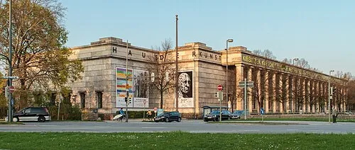 House of Art Museum, Munich6.3 km NW
-
KZ-Außenlager München-Riem Historic site, Munich3.4 km N
Other cities and towns in Munich
-
 Obergiesing Neighbourhood, Munich5.3 km W
-
 Lehel Neighbourhood, Munich5.9 km NW
-
Bogenhausen Neighbourhood, Munich5.2 km NW
-
 Messestadt Riem Neighbourhood, Munich3.5 km NE
-
 Haidhausen Neighbourhood, Munich4.9 km NW
-
 Au Neighbourhood, Munich5.7 km W
Sources & licences
Data last updated: