Museum Reich der Kristalle
Located in Munich, Munich, Urban District Coordinates: 48°08′54″ N 11°34′20″ E
- Local time
- UTC+01:00
- Europe/Berlin · UTC+01:00
- Elevation
- 518 m
- above sea level
- Airports
- MUC Munich Airport28 km
- INN Innsbruck Airport100 km
About Museum Reich der Kristalle
Museum Reich der Kristalle is a museum. Location: Munich, Munich, Urban District.
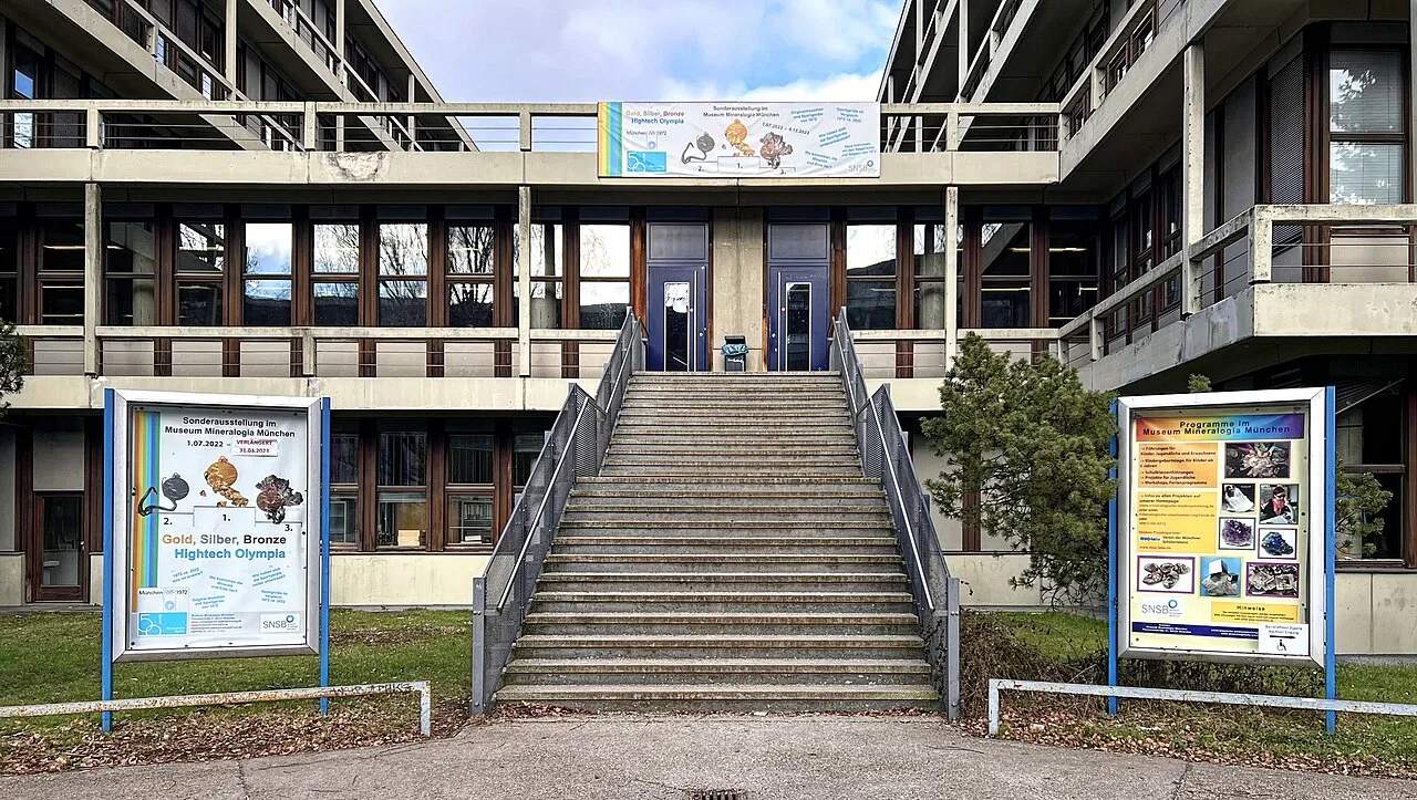
The Museum Reich der Kristalle is the publicly accessible part of the Mineralogischen Staatssammlung (State Mineralogical Collection) of Munich, Germany. It features explanations of mineralogical and crystallographic terms using models. It also showcases minerals local to Bavaria. The museum has a few small displays as well as a showroom which hosts special exhibitions.
Source: Wikipedia · CC BY-SA 4.0
Photos of Museum Reich der Kristalle
-

Burkhard Mücke · CC BY-SA 4.0 -

Burkhard Mücke · CC BY-SA 4.0 -

Kaethe17 · CC BY-SA 4.0 -

Kaethe17 · CC BY-SA 4.0 -
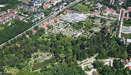
Botanischer Garten München-Nymphenburg Carsten Steger · CC BY-SA 4.0


Climate of Museum Reich der Kristalle
Best months for sightseeingBest months for sightseeing: June–September.
This month · November
A cold month
Day 7° · Night 1° · Rain 75 mm
- Hottest month
- July (day 23°)
- Coldest month
- January (night -3°)
- Wettest month
- July (132 mm)
- Driest month
- January (52 mm)
Bars: average monthly low and high temperature. Below: precipitation. Monthly averages for 1970–2000 at about 18 km resolution, adjusted for elevation. Highlighted months are mild and relatively dry. Source: WorldClim 2.1 (CC BY 4.0).
Show values as a table
| Month | Jan | Feb | Mar | Apr | May | Jun | Jul | Aug | Sep | Oct | Nov | Dec |
|---|---|---|---|---|---|---|---|---|---|---|---|---|
| Average high (°C) | 3° | 5° | 9° | 13° | 19° | 21° | 23° | 23° | 19° | 14° | 7° | 4° |
| Average low (°C) | -3° | -3° | 1° | 4° | 8° | 11° | 14° | 13° | 10° | 5° | 1° | -2° |
| Precipitation (mm) | 52 | 53 | 61 | 74 | 98 | 124 | 132 | 119 | 88 | 66 | 75 | 64 |
Other places to visit in this season: June July August September
How to get to Museum Reich der Kristalle
The nearest airport is Munich Airport (MUC), 28 km to the northeast as the crow flies. The nearest large city is Munich, 1 km to the south.
Airports
- Munich Airport (MUC) Munich 28 kmnortheast
- Innsbruck Airport (INN) Innsbruck 100 kmsouth
- Memmingen Allgau Airport (FMM) Memmingen 101 kmwest
Nearby large cities
- Munich Population: 1.5M 1 kmsouth
- Augsburg Population: 301.1K 56 kmnorthwest
- Ingolstadt Population: 120.7K 69 kmnorth
- Innsbruck Population: 132.5K 99 kmsouth
- Regensburg Population: 151.4K 104 kmnorth
Straight-line distances; road distances are longer. Airport data: OurAirports.
Day trips from Museum Reich der Kristalle
Within 100 km: 497 historic and cultural sites, 2,766 natural sites, 991 lakes, rivers and coasts.
0–25 km235 places
- elf-pavlik's tent Historic site 5 kmNE
- Speichersee Lake 15 kmNE
- Taubenberg Mountain 25 kmSE
- Schellenberg Mountain 19 kmW
25–60 km1,061 places
- Bayerisches Oberland Mountain 57 kmS
- Schloss Hirschberg am Haarsee Historic site 46 kmSW
- Loisach River 26 kmS
- Wörth Island 60 kmSW
60–100 km2,958 places
- Frauenchiemsee Island 71 kmSE
- Herreninsel Island 70 kmSE
- Wildsee Lake 97 kmS
- Zireiner See Lake 78 kmS
Straight-line distances.
Nearby attractions & nature
Everything nearby-
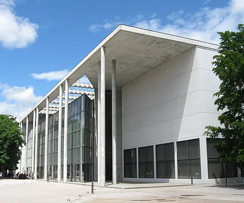 Pinakothek der Moderne Museum, Munich0.1 km S
-
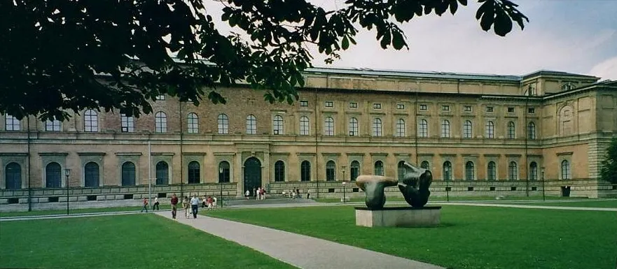 Alte Pinakothek Museum, Munich0.2 km W
-
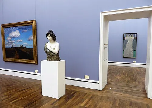 Neue Pinakothek Museum, Munich0.2 km NW
-
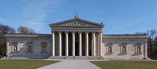 Staatliche Antiken-sammlungen München Museum, Munich0.5 km SW
-
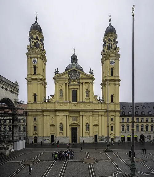 Saint Cajetan Church Attraction, Munich0.8 km SE
-
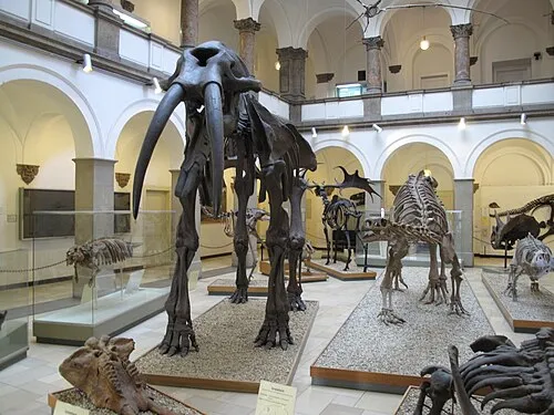 Paläontologisches Museum München Museum, Munich0.7 km W
-
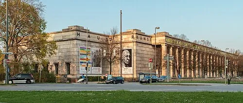 House of Art Museum, Munich1.1 km SE
-
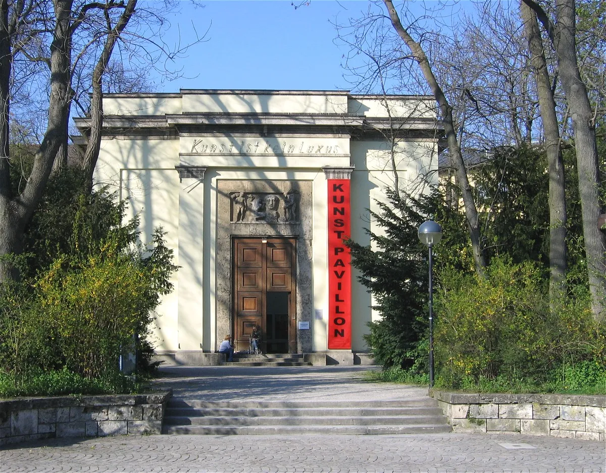 Alter Botanischer Garten Attraction, Munich1 km SW
Nearest towns and villages
-
 Maxvorstadt Neighbourhood, Munich0.3 km SW
-
Munich City, Munich1.2 km S
-
 Schwabing Neighbourhood, Munich1.5 km NE
-
 Lehel Neighbourhood, Munich1.5 km SE
More sights in Munich
-
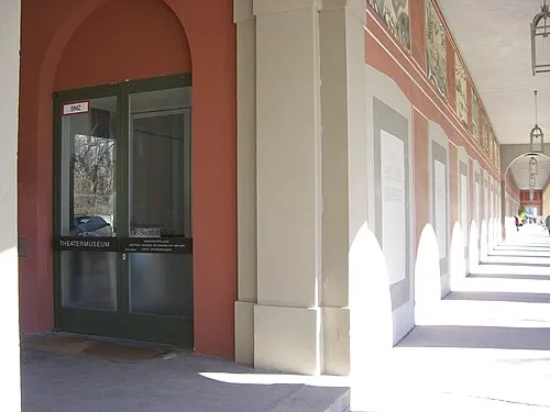 Deutsches Theatermuseum Museum, Munich0.9 km SE
-
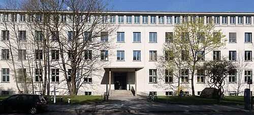 Geologisches Museum München Museum, Munich0.6 km W
-
Die Neue Sammlung Museum, Munich0.2 km SW
-
Egyptian Museum Munich Museum, Munich0.3 km SW
-
Staatliche Graphische Sammlung Museum, Munich0.6 km SW
-
Städtische Galerie im Lenbachhaus Museum, Munich0.6 km W
Sources & licences
Data last updated: · 2 independent sources