Free and Hanseatic City of Hamburg
Local name: Freie und Hansestadt Hamburg
Located in Germany Coordinates: 53°35′00″ N 10°00′00″ E
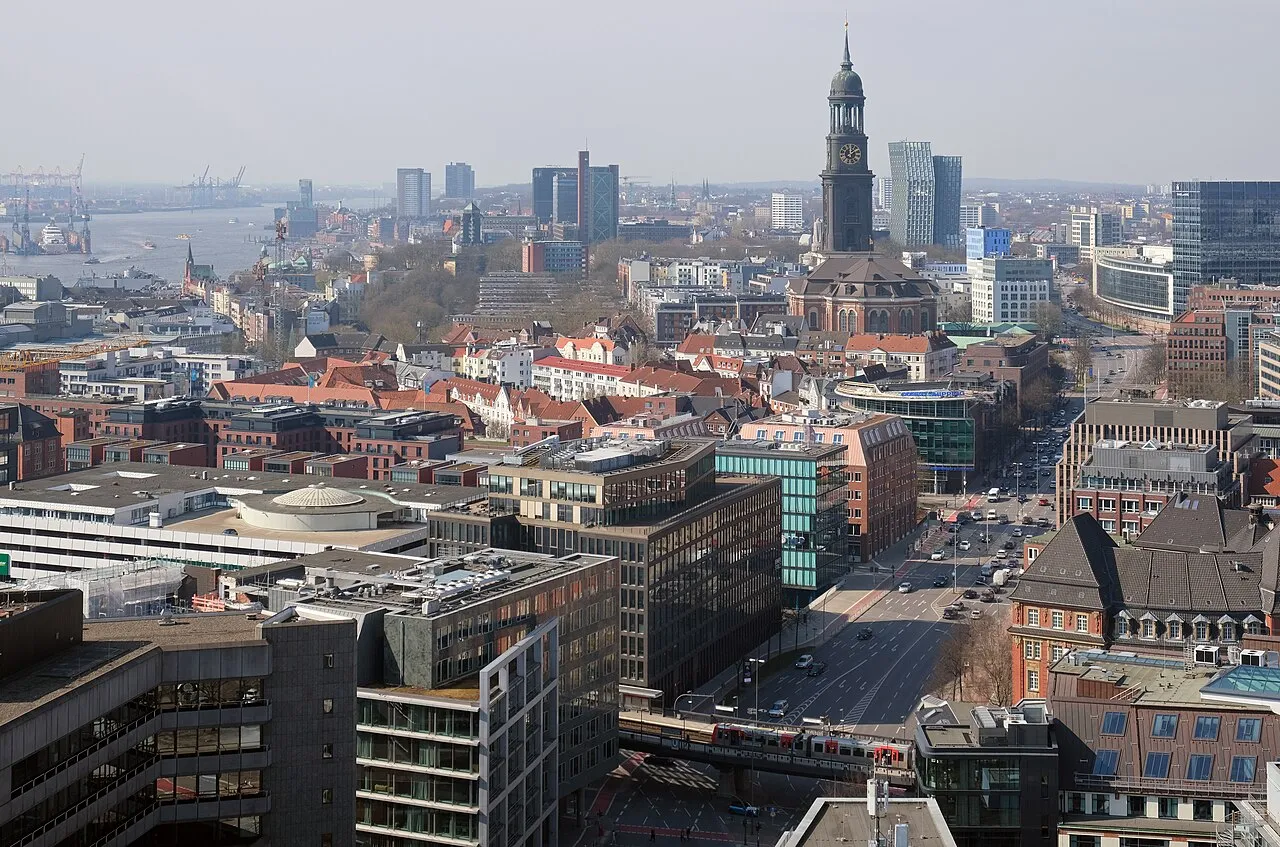
- Population
- 1,906,411
- 1.9M
- Elevation
- 10 m
- above sea level
- Local time
- UTC+01:00
- Europe/Berlin · UTC+01:00
- Places inside
- 29
- listed under Free and Hanseatic City of Hamburg
- Airports
- HAM Hamburg Helmut Schmidt Airport5 km
- LBC Lübeck Blankensee Airport54 km
About Free and Hanseatic City of Hamburg
Free and Hanseatic City of Hamburg is a region. Location: Germany. Population: 1,906,411.
Hamburg, officially the Free and Hanseatic City of Hamburg, is the second-largest city in Germany after Berlin and sixth-largest city in the European Union, with a population of over 1.9 million. The Hamburg Metropolitan Region has a population of over 5.1 million and is the tenth-largest metropolitan region by GDP in the European Union. At the base of the Jutland Peninsula, the 110 km (68 mi)-long Elbe estuary begins in Hamburg, at the confluence of the Alster and Bille.
Source: Wikipedia · CC BY-SA 4.0
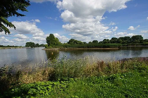
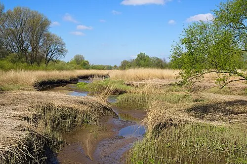
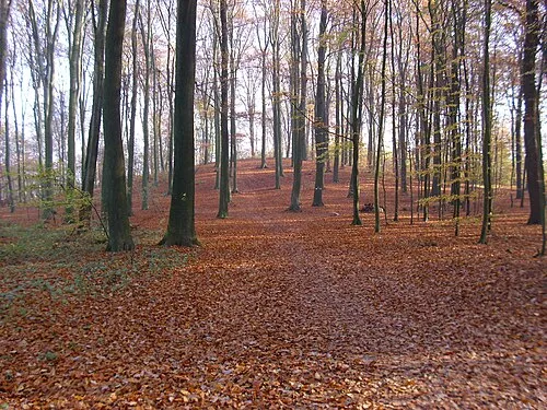
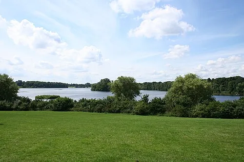
Photos of Free and Hanseatic City of Hamburg
-

Unknown author Unknown author · CC BY 4.0 -

Unknown author Unknown author · CC BY 4.0 -
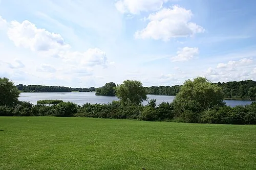
Öjendorfer See Wikiman7002 · CC BY-SA 3.0 -
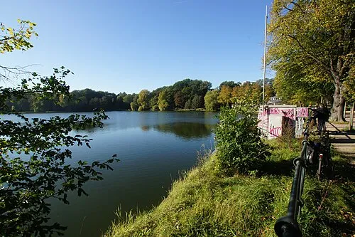
Außenmühlenteich flamenc · CC BY-SA 3.0 -
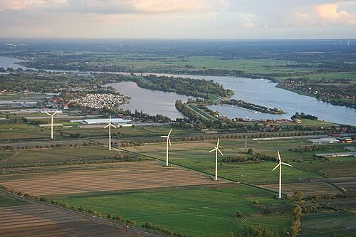
Hohendeicher See Reinhard Kraasch · CC BY-SA 4.0


Travel notes for Free and Hanseatic City of Hamburg
From Wikivoyage
This article refers to the city of Hamburg. For the island of Neuwerk that is part of the state of Hamburg but not the city see there
The Free and Hanseatic City of Hamburg (Freie und Hansestadt Hamburg) is Germany's second-largest city and, at the same time, one of Germany's 16 federal states or Bundesländer. Prior to the formation of the modern German state, Hamburg for centuries enjoyed a status as de facto independent city state and regional power and trade hub in the North Sea. Although situated over 100 km (62 mi) upriver from the North Sea on the Elbe, Hamburg has been one of Europe's most important ports for centuries, as reflected in its full name referencing the Hanseatic League. The city was built on the confluence of the Elbe with a smaller tributary (the Alster), and much of the southern bank of the Elbe is today occupied by an enormous seaport.
Understand+
One of the most important harbours in Europe and the world, Hamburg takes great pride in its mercantile background, which built the city's wealth in the past centuries. From 1241 on, it was a member of the Hanseatic League, a medieval trade alliance across Northern Europe. In the 19th and beginning of the 20th century, millions left Europe on their way to the new world through the Hamburg harbour. Today, the harbour ranks second in Europe and eleventh world-wide. Consequently, one of Hamburg's tag lines is "the Gateway to the World" (derived from the city’s coat of arms, showing a white city wall with a gate and crowned by three towers on a red background). Hamburg is known to be one of the richest metropolitan areas in the European Union, in the company of Brussels and London.
The harbour is the heart of the city; however, Hamburg is also one of the most important media hubs in Germany. Half of the nation's newspapers and magazines have their roots in Hamburg. And, unknown even to some locals, is the fact that, with one of the Airbus aircraft assembly plants, Hamburg is a major location of the world's aerospace industry, after Seattle (USA) and Toulouse (France).
The city's mercantile background is reflected in its architecture. The only palace in Hamburg is the town hall, which houses the citizens' parliament and the senate. Apart from that, the city still has large quarters with expensive houses and villas. These residences were home to merchants and captains, surrounded by lots of greenery. Large parts of the city were destroyed during the devastating air raids of World War II, particularly the port and some residential areas, killing tens of thousands and leaving more than a million homeless, yet much of historic value has been preserved.
Get in+
By plane:
Hamburg Airport Helmut Schmidt (Fuhlsbüttel):
1 Hamburg Airport Helmut Schmidt (HAM IATA) (8 km north of the city centre). Germany's fifth-busiest airport (about 14.8 million passengers in 2025), officially named after former chancellor Helmut Schmidt since 2016. Around 55 airlines serve roughly 120 direct destinations, almost all of them within Europe or around the Mediterranean. Long-haul options are very limited: the only regular intercontinental service is Emirates to Dubai; for everything else you will connect via a hub such as Frankfurt, Munich, Amsterdam, Paris, Istanbul or Dubai.
The airport is compact and well signposted. Terminals 1 and 2 are joined by a central building (the Airport Plaza), so you can walk between them in a few minutes; an airport hotel is directly opposite the terminals. Depending on your gate, expect some walking.
The airport is connected to the city by S-Bahn line S1 . The station lies directly beneath the terminals. Trains reach the central station (Hauptbahnhof) in about 25 minutes, running every 10 minutes during the day and every 20 minutes in the late evening and early morning. A single ticket for zone Hamburg AB, which covers the whole city, costs €4.10, or €3.81 if bought in the HVV app (2026). The Deutschlandticket is valid.
Travelling to the airport: S1 trains from the city are split at Ohlsdorf station; the first three cars continue to the airport, the others go to Poppenbüttel. If you are in the wrong part, get off at Ohlsdorf and wait for the next train. The return journey is unproblematic: all trains from the airport run towards the city.
Source: Wikivoyage · CC BY-SA 4.0 · abridged
Places bordering Free and Hanseatic City of Hamburg
Twin towns and sister cities of Free and Hanseatic City of Hamburg
- Marseille· France
- Varna· Bulgaria
Source: Wikidata. Only places with a page on this site are shown.
Population of Free and Hanseatic City of Hamburg over time
| 2013 | 1,746,342 | |
|---|---|---|
| 2014 | 1,803,752 | |
| 2015 | 1,787,408 | |
| 2016 | 1,810,438 | |
| 2017 | 1,830,584 | |
| 2018 | 1,841,179 | |
| 2019 | 1,841,179 | |
| 2021 | 1,853,935 | |
| 2022 | 1,892,122 | |
| 2023 | 1,910,160 | |
| 2024 | 1,862,565 | |
| 2025 | 1,869,473 |
Censuses and official estimates; source: Wikidata.
Climate of Free and Hanseatic City of Hamburg
Best months for sightseeingBest months for sightseeing: June–August.
This month · November
A cold month
Day 8° · Night 3° · Rain 67 mm
- Hottest month
- July (day 23°)
- Coldest month
- January (night -1°)
- Wettest month
- December (76 mm)
- Driest month
- February (43 mm)
Bars: average monthly low and high temperature. Below: precipitation. Monthly averages for 1970–2000 at about 18 km resolution, adjusted for elevation. Highlighted months are mild and relatively dry. Source: WorldClim 2.1 (CC BY 4.0).
Show values as a table
| Month | Jan | Feb | Mar | Apr | May | Jun | Jul | Aug | Sep | Oct | Nov | Dec |
|---|---|---|---|---|---|---|---|---|---|---|---|---|
| Average high (°C) | 4° | 5° | 8° | 12° | 18° | 21° | 23° | 23° | 18° | 13° | 8° | 5° |
| Average low (°C) | -1° | -1° | 1° | 4° | 8° | 11° | 13° | 13° | 10° | 6° | 3° | 1° |
| Precipitation (mm) | 64 | 43 | 60 | 48 | 53 | 73 | 73 | 71 | 68 | 65 | 67 | 76 |
How to get to Free and Hanseatic City of Hamburg
The nearest airport is Hamburg Helmut Schmidt Airport (HAM), 5 km to the north as the crow flies. The nearest large city is Lübeck, 55 km to the northeast.
Airports
- Hamburg Helmut Schmidt Airport (HAM) Hamburg 5 kmnorth
- Lübeck Blankensee Airport (LBC) Lübeck 54 kmnortheast
- Sea-Airport Cuxhaven/Nordholz / Nordholz Naval Airbase (FCN) Wurster Nordseeküste 91 kmwest
Nearby large cities
- Lübeck Population: 212.2K 55 kmnortheast
- Kiel Population: 252.7K 83 kmnorth
- Bremerhaven Population: 118.6K 94 kmwest
- Bremen Population: 546.5K 97 kmsouthwest
- Oldenburg Population: 159.2K 129 kmwest
Straight-line distances; road distances are longer. Airport data: OurAirports.
Places in Free and Hanseatic City of Hamburg
29 placesBar: population relative to the most populous place in this list.
Cities & villages1
- Lohbrügger Höhe · Village
Mountains & nature4
- Forst Klövensteen · Natural site
- Nationalpark Hamburgisches Wattenmeer · Natural site
- Neugrabener Heide · Natural site
- Viertbusch · Natural site
Lakes, rivers & coasts23
- Alte Süderelbe · Lake
- Alte Süderelbe · Lake
- Alte Süderelbe · Lake
- Alte Süderelbe · Lake
- Alte Süderelbe · Lake
- Ammersbek · River
- Aue · River
- Außenalster · Lake
- Außenmühlenteich · Lake
- Bille · River
- Binnen-Alster · Lake
- Bramfelder See · Lake
- Dobber · River
- Dove Elbe · River
- Finkenwerder · Island
- Gose Elbe · River
- Kollau · River
- Moorwettern · River
- Neuwerk · Island
- Nigehörn · Island
- Öjendorfer See · Lake
- Saselbek · River
- Tarpenbek · River
Largest cities and towns
-
 Marienthal Neighbourhood, Hamburg287.1K
-
Hamburg Village, Hamburg, Freie und Hansestadt1.9M
-
 Rahlstedt Neighbourhood, Hamburg92.5K
-
 Bramfeld Neighbourhood, Hamburg54K
-
 Hamm Neighbourhood, Hamburg38K
-
 Neugraben-Fischbek Neighbourhood, Hamburg32.1K
-
 Niendorf Neighbourhood, Hamburg40.9K
-
 Horn Neighbourhood, Hamburg37.9K
Nature and heritage in Free and Hanseatic City of Hamburg
Other regions in Germany
-
 Lower Saxony Region, Germany100 km SW
-
 Free Hanseatic City of Bremen Region, Germany96 km SW
-
Schleswig-Holstein Region, Germany71 km N
Sources & licences
Data last updated: · 2 independent sources