- Elevation
- 79 m
- above sea level
- Local time
- UTC+01:00
- Europe/Berlin · UTC+01:00
- Airports
- FCN Sea-Airport Cuxhaven/Nordholz / Nordholz Naval Airbase27 km
- HAM Hamburg Helmut Schmidt Airport63 km
About Silberberg
Silberberg is a mountain. Location: Wingst, Landkreis Cuxhaven. Elevation: 79 m.
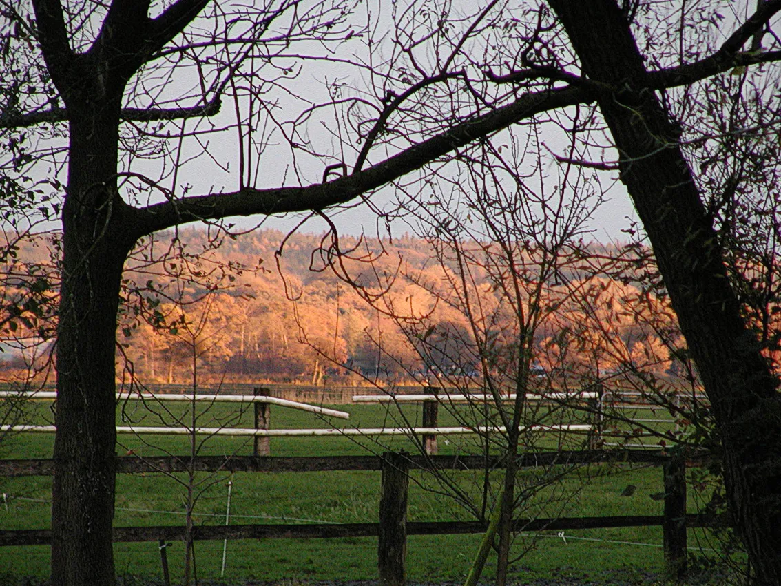
The Silberberg (German pronunciation: [ˈzɪlbɐˌbɛʁk] ) is a low hill, 74 metres high, in the Wingst ridge in the district of Cuxhaven in the north German state of Lower Saxony. It is the highest natural elevation in the Elbe-Weser Triangle, but is overshadowed by the observation tower of the nearby hill of Deutscher Olymp. It was formed from an ice age moraine. There used to be a small silver mine here which gave the hill its name.
Source: Wikipedia · CC BY-SA 4.0
Climate of Silberberg
Best months for sightseeingBest months for sightseeing: June–August.
This month · November
A cold month
Day 7° · Night 2° · Rain 77 mm
- Hottest month
- July (day 21°)
- Coldest month
- January (night -2°)
- Wettest month
- September (80 mm)
- Driest month
- February (40 mm)
Bars: average monthly low and high temperature. Below: precipitation. Monthly averages for 1970–2000 at about 18 km resolution, adjusted for elevation. Highlighted months are mild and relatively dry. Source: WorldClim 2.1 (CC BY 4.0).
Show values as a table
| Month | Jan | Feb | Mar | Apr | May | Jun | Jul | Aug | Sep | Oct | Nov | Dec |
|---|---|---|---|---|---|---|---|---|---|---|---|---|
| Average high (°C) | 3° | 4° | 7° | 11° | 17° | 19° | 21° | 21° | 17° | 12° | 7° | 4° |
| Average low (°C) | -2° | -2° | 0° | 3° | 7° | 10° | 12° | 12° | 9° | 6° | 2° | 0° |
| Precipitation (mm) | 62 | 40 | 57 | 46 | 57 | 77 | 79 | 69 | 80 | 77 | 77 | 72 |
How to get to Silberberg
The nearest airport is Sea-Airport Cuxhaven/Nordholz / Nordholz Naval Airbase (FCN), 27 km to the west as the crow flies. For international flights: Hamburg Helmut Schmidt Airport (HAM) (63 km). The nearest large city is Bremerhaven, 37 km to the southwest.
Airports
- Sea-Airport Cuxhaven/Nordholz / Nordholz Naval Airbase (FCN) Wurster Nordseeküste 27 kmwest
- Hamburg Helmut Schmidt Airport (HAM) Hamburg 63 kmeast
- Bremen Airport (BRE) Bremen 78 kmsouth
Nearby large cities
- Bremerhaven Population: 118.6K 37 kmsouthwest
- Bremen Population: 546.5K 75 kmsouth
- Oldenburg Population: 159.2K 86 kmsouthwest
- Kiel Population: 252.7K 97 kmnortheast
- Lübeck Population: 212.2K 109 kmeast
Straight-line distances; road distances are longer. Airport data: OurAirports.
Day trips from Silberberg
Within 100 km: 337 historic and cultural sites, 1,619 natural sites, 1,119 lakes, rivers and coasts.
0–25 km148 places
- Rhinplate Island 23 kmE
- Medemsand-Insel Island 23 kmNW
- Halemer See Lake 20 kmW
- Flögelner See Lake 17 kmW
25–60 km761 places
- Aubek River 55 kmNE
- Friesenstrand Beach 56 kmW
- Trischen Island 44 kmNW
- Pagensand Island 31 kmE
60–100 km2,166 places
- Nordstrand Natural site 86 kmN
- Insel Spiekeroog Island 90 kmW
- Viertbusch Natural site 87 kmE
- Spock River 83 kmNE
Straight-line distances.
Nearest towns and villages
-
Wingst Village, Wingst1.7 km NE
-
Cadenberge Village, Landkreis Cuxhaven4 km N
-
Westerhamm Village, Wingst1.5 km W
-
Ellerbruch Village, Wingst1.7 km S
-
Bargkamp Village, Wingst1.9 km SW
-
Weißenmoor Village, Wingst1.9 km SE
Nearby attractions & nature
Everything nearby-
Forst Wingst Natural site, Lower Saxony0.1 km SE
-
Dobrock Natural site, Lower Saxony0.8 km N
-
Wingst Mountain, Wingst1.6 km SE
-
Deutscher Olymp Mountain, Wingst1.9 km NE
-
Forst Altkehdingen Natural site, Lower Saxony2.7 km NW
-
Fuchsberg Mountain, Wingst3.2 km NE
-
Remper Berg Mountain, Lower Saxony3.4 km S
-
Buschberg Mountain, Hemmoor5.1 km S
Sources & licences
Data last updated: · 2 independent sources