Lingener Wald
Located in Lingen (Ems), Landkreis Emsland Coordinates: 52°29′42″ N 7°21′07″ E
- Elevation
- 59 m
- above sea level
- Airports
- FMO Münster Osnabrück Airport46 km
- GRQ Groningen Airport Eelde87 km
About Lingener Wald
Lingener Wald is a natural site. Location: Lingen (Ems), Landkreis Emsland. The best months to visit are May–August. The nearest airport is Münster Osnabrück Airport (46 km). Nearby sights include Wellberg and Galgensand.
Climate of Lingener Wald
Best months for sightseeingBest months for sightseeing: May–August.
This month · November
A cold month
Day 8° · Night 3° · Rain 64 mm
- Hottest month
- August (day 22°)
- Coldest month
- February (night -1°)
- Wettest month
- August (83 mm)
- Driest month
- April (42 mm)
Bars: average monthly low and high temperature. Below: precipitation. Monthly averages for 1970–2000 at about 18 km resolution, adjusted for elevation. Highlighted months are mild and relatively dry. Source: WorldClim 2.1 (CC BY 4.0).
Show values as a table
| Month | Jan | Feb | Mar | Apr | May | Jun | Jul | Aug | Sep | Oct | Nov | Dec |
|---|---|---|---|---|---|---|---|---|---|---|---|---|
| Average high (°C) | 4° | 5° | 9° | 13° | 18° | 21° | 22° | 22° | 18° | 14° | 8° | 5° |
| Average low (°C) | -1° | -1° | 2° | 4° | 8° | 11° | 12° | 12° | 9° | 6° | 3° | 1° |
| Precipitation (mm) | 67 | 51 | 53 | 42 | 55 | 66 | 82 | 83 | 64 | 62 | 64 | 69 |
How to get to Lingener Wald
The nearest airport is Münster Osnabrück Airport (FMO), 46 km to the southeast as the crow flies. The nearest large city is Enschede, 44 km to the southwest.
Airports
- Münster Osnabrück Airport (FMO) Greven 46 kmsoutheast
- Groningen Airport Eelde (GRQ) Groningen 87 kmnorthwest
- Dortmund Airport (DTM) Dortmund 110 kmsouth
Nearby large cities
- Enschede Population: 153.7K 44 kmsouthwest
- Osnabrück Population: 166.5K 54 kmsoutheast
- Münster Population: 308.3K 62 kmsouth
- Zwolle Population: 129.8K 85 kmwest
- Oldenburg Population: 159.2K 92 kmnortheast
Straight-line distances; road distances are longer. Airport data: OurAirports.
Day trips from Lingener Wald
Within 100 km: 152 historic and cultural sites, 961 natural sites, 528 lakes, rivers and coasts.
0–25 km142 places
- Mickelmeer Lake 6 kmE
- Großes Heiliges Meer Lake 25 kmSE
- Fallermoor Lake 12 kmNE
- Biener See Lake 10 kmNW
25–60 km597 places
- Werse River 56 kmSE
- Goten Lake 54 kmNE
- Theikenmeer Lake 42 kmNE
- Sandpoel Lake 43 kmN
60–100 km902 places
- Putjensberg Mountain 93 kmW
- Ahse River 97 kmS
- Hatzumer Sand Island 90 kmN
- Zwischenahner Meer Lake 90 kmNE
Straight-line distances.
Nearest towns and villages
-
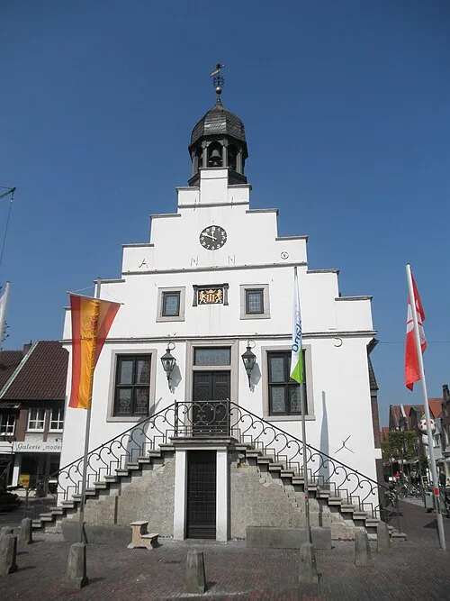 Lingen Town, Lingen (Ems)3.6 km NW
-
Rottum Village, Lingen (Ems)1.5 km S
-
Am Strubbenberg Neighbourhood, Lingen (Ems)1.7 km W
-
Laxten Village, Lingen (Ems)2.6 km N
-
Knollenborg Village, Lingen (Ems)2.2 km NE
-
Estringen Village, Lingen (Ems)2.4 km S
Nearby attractions & nature
Everything nearby-
Wellberg Mountain, Lingen (Ems)0.5 km SW
-
Galgensand Natural site, Lingen (Ems)1.3 km N
-
Mundersumer Sand Natural site, Lower Saxony2.3 km SE
-
Hilgenberg Mountain, Lingen (Ems)2.7 km SW
-
Bramberg Mountain, Lingen (Ems)5 km E
-
Dieksee Lake, Lingen (Ems)4.3 km N
-
Versenberg Mountain, Lingen (Ems)6.7 km S
-
Große Aa River, Lower Saxony4.3 km SW
Sources & licences
Data last updated: