Landkreis Vorpommern-Rügen
Located in Mecklenburg-Vorpommern, Germany Coordinates: 54°27′18″ N 13°23′37″ E
- Population
- 215,203
- 215.2K
- Elevation
- 20 m
- above sea level
- Local time
- UTC+01:00
- Europe/Berlin · UTC+01:00
- Places inside
- 101
- listed under Landkreis Vorpommern-Rügen
- Airports
- HDF Heringsdorf Airport81 km
- RLG Rostock-Laage Airport94 km
About Landkreis Vorpommern-Rügen
Landkreis Vorpommern-Rügen is a municipality. Location: Mecklenburg-Vorpommern, Germany. Population: 215,203. Elevation: 20 m.
Vorpommern-Rügen is a district in the north of Mecklenburg-Vorpommern, Germany. It is bounded by (from the west and clockwise) the Baltic Sea and the districts Vorpommern-Greifswald, Mecklenburgische Seenplatte and Rostock. The district seat is the Hanseatic city of Stralsund. Vorpommern-Rügen is characterized by diverse shore line landscapes with many lagoons, beaches and cliff lines, part of them protected in the Western Pomerania Lagoon Area National Park and in the Jasmund National Park.
Source: Wikipedia · CC BY-SA 4.0
Photos of Landkreis Vorpommern-Rügen
-
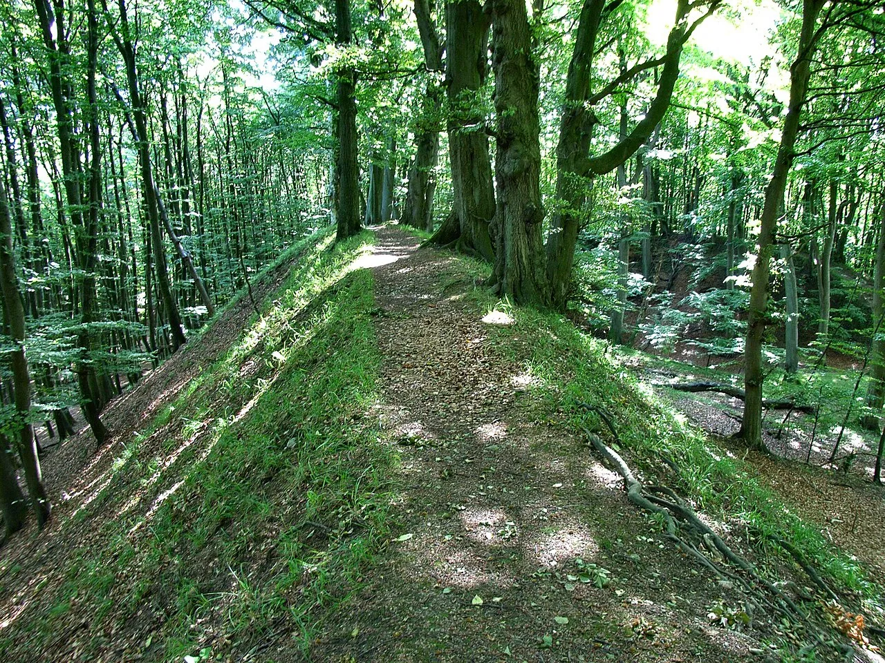
Herthaburg Lapplaender · CC BY-SA 3.0 de -
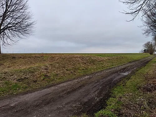
Hasenberg MB-one · CC BY-SA 3.0 -
Forthberg Shisma · CC BY-SA 3.0 -
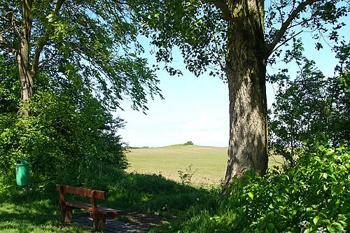
Bakelberg Nikater · Public domain -
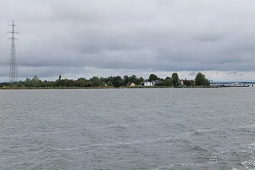
Fährhaken Leonhard Lenz · CC0


Places bordering Landkreis Vorpommern-Rügen
Climate of Landkreis Vorpommern-Rügen
Best months for sightseeingBest months for sightseeing: June–August.
This month · November
A cold month
Day 7° · Night 2° · Rain 53 mm
- Hottest month
- July (day 21°)
- Coldest month
- January (night -2°)
- Wettest month
- August (68 mm)
- Driest month
- February (33 mm)
Bars: average monthly low and high temperature. Below: precipitation. Monthly averages for 1970–2000 at about 18 km resolution, adjusted for elevation. Highlighted months are mild and relatively dry. Source: WorldClim 2.1 (CC BY 4.0).
Show values as a table
| Month | Jan | Feb | Mar | Apr | May | Jun | Jul | Aug | Sep | Oct | Nov | Dec |
|---|---|---|---|---|---|---|---|---|---|---|---|---|
| Average high (°C) | 2° | 3° | 6° | 10° | 15° | 19° | 21° | 21° | 17° | 12° | 7° | 4° |
| Average low (°C) | -2° | -2° | 0° | 2° | 7° | 10° | 12° | 13° | 9° | 6° | 2° | 0° |
| Precipitation (mm) | 38 | 33 | 37 | 37 | 48 | 57 | 64 | 68 | 56 | 51 | 53 | 48 |
How to get to Landkreis Vorpommern-Rügen
The nearest airport is Heringsdorf Airport (HDF), 81 km to the southeast as the crow flies. The nearest large city is Rostock, 91 km to the southwest.
Airports
- Heringsdorf Airport (HDF) Zirchow 81 kmsoutheast
- Rostock-Laage Airport (RLG) Laage 94 kmsouthwest
- Bornholm Airport (RNN) Rønne 111 kmnortheast
Nearby large cities
- Rostock Population: 198.3K 91 kmsouthwest
- Malmö Population: 362.1K 131 kmnorth
- Copenhagen Population: 1.2M 146 kmnorth
- Helsingborg Population: 104.2K 183 kmnorth
- Lübeck Population: 212.2K 188 kmwest
Straight-line distances; road distances are longer. Airport data: OurAirports.
Day trips from Landkreis Vorpommern-Rügen
Within 100 km: 112 historic and cultural sites, 871 natural sites, 342 lakes, rivers and coasts.
0–25 km245 places
- Hiddensee Island 21 kmNW
- Ummanz Island 14 kmW
- Vilm Island 17 kmSE
- Hundestrand Beach 13 kmN
25–60 km355 places
- Ruden Island 37 kmSE
- Insel Görmitz Island 59 kmSE
- Greifswalder Oie Island 41 kmSE
- Koos Island 32 kmS
60–100 km725 places
- Usedom Island Island 73 kmSE
- Falster Island 100 kmNW
- Wolin Island 94 kmSE
- Hundestrand Dierhagen Ost Beach 70 kmW
Straight-line distances.
Landkreis Vorpommern-Rügen and similar cities
Side by side with cities of similar size in the same country: population, elevation and climate.
| Measure | Landkreis Vorpommern-Rügen | Lübeck | Erfurt | Oberhausen |
|---|---|---|---|---|
| Population | 215.2K | 212.2K | 218.8K | 219.2K |
| Elevation | 20 m | 16 m | 194 m | 44 m |
| Summer day (hottest month) | 21° | 22° | 24° | 23° |
| Winter night (coldest month) | -2° | -2° | -2° | 1° |
| Annual rainfall | 590 mm | 674 mm | 584 mm | 883 mm |
| Best months | Jun–Aug | Jun–Aug | Jun–Sep | Jun–Aug |
| Distance | — | 188 km | 418 km | 549 km |
Climate values are 1970–2000 monthly averages; straight-line distance.
Places in Landkreis Vorpommern-Rügen
101 places- 1 Stralsund, Hansestadt 54.1K
- 2 Ribnitz-Damgarten 15.3K
- 3 Bergen auf Rügen 13.5K
- 4 Grimmen 9.1K
- 5 Sassnitz 8.9K
- 6 Barth 7.6K
- 7 Sundhagen 5.1K
- 8 Binz 5K
- 9 Marlow 4.5K
- 10 Putbus 4.4K
- 11 Süderholz 3.9K
- 12 Zingst 2.8K
- 13 Steinhagen 2.5K
- 14 Sellin 2.5K
- 15 Tribsees 2.5K
- 16 Sagard 2.4K
- 17 Niepars 2.4K
- 18 Ahrenshagen-Daskow 2.2K
- 19 Garz 2.2K
- 20 Prohn 2.1K
- 21 Samtens 2K
- 22 Kramerhof 1.9K
- 23 Bad Sülze 1.7K
- 24 Dierhagen 1.5K
- 25 Velgast 1.5K
- 26 Saal 1.5K
- 27 Göhren 1.3K
- 28 Richtenberg 1.3K
- 29 Altefähr 1.3K
- 30 Mönchgut 1.3K
- 31 Franzburg 1.3K
- 32 Prerow 1.3K
- 33 Gingst 1.2K
- 34 Trinwillershagen 1.2K
- 35 Wustrow 1.1K
- 36 Wittenhagen 1.1K
- 37 Preetz 1.1K
- 38 Zarrendorf 1.1K
- 39 Dranske 1.1K
- 40 Dettmannsdorf 1K
- 41 Born auf dem Darß 1K
- 42 Glowe 977
- 43 Altenpleen 963
- 44 Poseritz 961
- 45 Wiek 961
- 46 Baabe 957
- 47 Rambin 953
- 48 Insel Hiddensee 913
- 49 Pantelitz 892
- 50 Sehlen 891
- 51 Altenkirchen 879
- 52 Lüssow 870
- 53 Wendorf 867
- 54 Fuhlendorf 829
- 55 Groß Mohrdorf 773
- 56 Dreschvitz 766
- 57 Parchtitz 740
- 58 Pruchten 730
- 59 Wieck a. Darß 698
- 60 Elmenhorst 695
Bar: population relative to the most populous place in this list.
Nearby attractions & nature
Everything nearby-
Nonnensee Lake, Mecklenburg-Vorpommern2.7 km SE
-
Rügen Island Island, Mecklenburg-Vorpommern4.3 km S
-
Rugard Natural site, Mecklenburg-Vorpommern5 km SE
-
Ossen Lake, Mecklenburg-Vorpommern4.7 km E
-
Boldevitzer Forst Natural site, Mecklenburg-Vorpommern5.2 km SW
-
Ralswieker Forst Natural site, Mecklenburg-Vorpommern5.3 km E
-
Insel Alt Rügen Island, Mecklenburg-Vorpommern5.9 km E
-
Rappiner See Lake, Mecklenburg-Vorpommern5 km N
Sources & licences
Data last updated: · 2 independent sources