Höhenhaus
Located in Cologne, Cologne, Urban District Coordinates: 50°59′25″ N 7°02′05″ E
- Elevation
- 50 m
- above sea level
- Local time
- UTC+01:00
- Europe/Berlin · UTC+01:00
- Airports
- CGN Cologne Bonn Airport16 km
- DUS Düsseldorf Airport38 km
About Höhenhaus
Höhenhaus is a neighbourhood. Location: Cologne, Cologne, Urban District. The best months to visit are June–September. The nearest airport is Cologne Bonn Airport (16 km). Nearby sights include Zoo Cologne and bridge Hohenzollern.
Photos of Höhenhaus
-
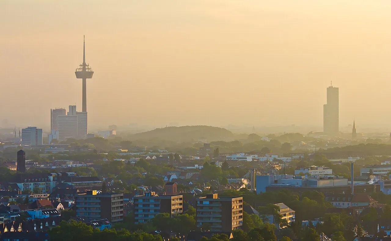
Herkules-Berg Raimond Spekking · CC BY-SA 4.0 -
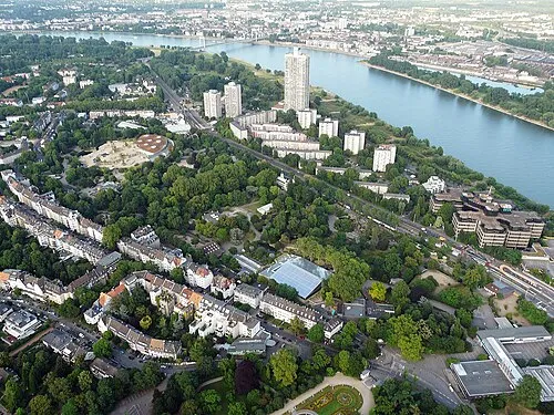
Zoo Cologne Neuwieser · CC BY-SA 2.0 -
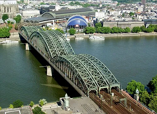
bridge Hohenzollern Raimond Spekking · CC BY-SA 4.0 -
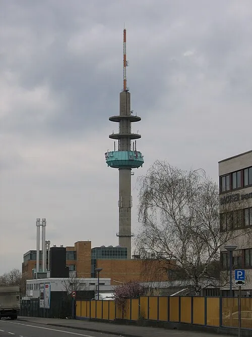
Pollonius A.Savin · CC BY-SA 3.0 -
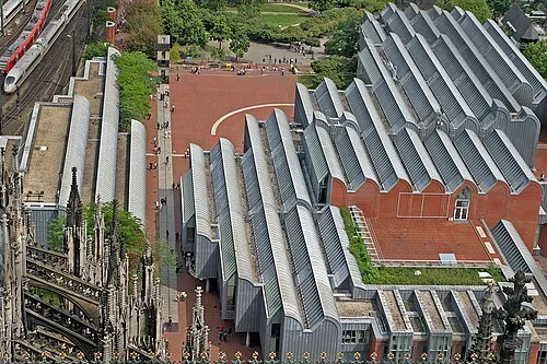
Museum Ludwig Thomas Robbin · CC BY-SA 3.0


Climate of Höhenhaus
Best months for sightseeingBest months for sightseeing: June–September.
This month · November
A cold month
Day 9° · Night 3° · Rain 65 mm
- Hottest month
- July (day 24°)
- Coldest month
- February (night 0°)
- Wettest month
- June (86 mm)
- Driest month
- February (50 mm)
Bars: average monthly low and high temperature. Below: precipitation. Monthly averages for 1970–2000 at about 18 km resolution, adjusted for elevation. Highlighted months are mild and relatively dry. Source: WorldClim 2.1 (CC BY 4.0).
Show values as a table
| Month | Jan | Feb | Mar | Apr | May | Jun | Jul | Aug | Sep | Oct | Nov | Dec |
|---|---|---|---|---|---|---|---|---|---|---|---|---|
| Average high (°C) | 5° | 7° | 10° | 14° | 19° | 21° | 24° | 24° | 19° | 14° | 9° | 6° |
| Average low (°C) | 0° | 0° | 3° | 5° | 9° | 12° | 14° | 13° | 10° | 7° | 3° | 2° |
| Precipitation (mm) | 63 | 50 | 65 | 54 | 70 | 86 | 85 | 67 | 70 | 63 | 65 | 72 |
Other places to visit in this season: June July August September
How to get to Höhenhaus
The nearest airport is Cologne Bonn Airport (CGN), 16 km to the southeast as the crow flies. The nearest large city is Leverkusen, 6 km to the northwest.
Airports
- Cologne Bonn Airport (CGN) Köln (Cologne) 16 kmsoutheast
- Düsseldorf Airport (DUS) Düsseldorf 38 kmnorthwest
- Dortmund Airport (DTM) Dortmund 71 kmnortheast
Nearby large cities
- Leverkusen Population: 162.7K 6 kmnorthwest
- Bergisch Gladbach Population: 106.2K 7 kmeast
- Cologne Population: 1M 9 kmsouthwest
- Solingen Population: 164.4K 21 kmnorth
- Remscheid Population: 117.1K 24 kmnortheast
Straight-line distances; road distances are longer. Airport data: OurAirports.
Day trips from Höhenhaus
Within 100 km: 542 historic and cultural sites, 2,955 natural sites, 858 lakes, rivers and coasts.
0–25 km181 places
- Liblarer See Lake 24 kmSW
- Dhünntalsperre Lake 15 kmNE
- Sengbachtalsperre Lake 17 kmNE
- Balgheimersee Lake 21 kmNW
25–60 km1,067 places
- Olef River 60 kmSW
- Weibe River 60 kmE
- Kemper Werth Island 25 kmS
- Versetalsperre Lake 50 kmNE
60–100 km3,107 places
- Lac de la Gileppe Lake 86 kmSW
- Lac d'Eupen Lake 78 kmSW
- Lac de Robertville Lake 88 kmSW
- Schartenknopf Mountain 87 kmSW
Straight-line distances.
Nearby attractions & nature
Everything nearby-
Zoo Cologne Attraction, Cologne5.6 km SW
-
bridge Hohenzollern Landmark, Cologne7.3 km SW
-
Museum Ludwig Museum, Cologne7.6 km SW
-
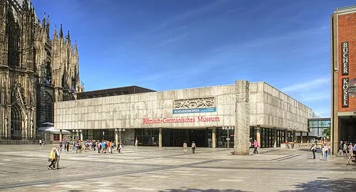 Romano-Germanic Museum Museum, Cologne7.7 km SW
-
Merheimer Heide Natural site, Cologne4.9 km S
-
St. Gereon Merheim Attraction, Cologne4.8 km S
Other cities and towns in Cologne
-
 Nippes Neighbourhood, Cologne6.4 km SW
-
Kalk Neighbourhood, Cologne5.9 km S
-
Ostheim Neighbourhood, Cologne6.6 km S
-
Humboldtkolonie Neighbourhood, Cologne7.1 km SW
-
Neustadt/Nord Neighbourhood, Cologne7.6 km SW
-
Neuehrenfeld Neighbourhood, Cologne7.8 km SW
Sources & licences
Data last updated: