
- Elevation
- 16 m
- above sea level
- Local time
- UTC+01:00
- Europe/Berlin · UTC+01:00
- Airports
- NRN Weeze (Niederrhein) Airport11 km
- EIN Eindhoven Airport58 km
About Asperden
Asperden is a village. Location: Goch, Kreis Kleve. Elevation: 16 m.
Asperden is a village in the municipality of Goch, Kreis Kleve in the German State of North Rhine-Westphalia. The place name Asperden is a degeneration of Aspen-Rodung, or the harvesting of aspens, a popular tree-species. It dates from the time when the forests were cut down systematically and open spaces were created where habitation arose. The village has been part of Stadt Goch since 1969.
Source: Wikipedia · CC BY-SA 4.0
At a glance
- Area
- 18.9 km²
Source: Wikidata
Climate of Asperden
Best months for sightseeingBest months for sightseeing: June–August.
This month · November
A cold month
Day 9° · Night 3° · Rain 69 mm
- Hottest month
- August (day 23°)
- Coldest month
- February (night 0°)
- Wettest month
- December (73 mm)
- Driest month
- April (44 mm)
Bars: average monthly low and high temperature. Below: precipitation. Monthly averages for 1970–2000 at about 18 km resolution, adjusted for elevation. Highlighted months are mild and relatively dry. Source: WorldClim 2.1 (CC BY 4.0).
Show values as a table
| Month | Jan | Feb | Mar | Apr | May | Jun | Jul | Aug | Sep | Oct | Nov | Dec |
|---|---|---|---|---|---|---|---|---|---|---|---|---|
| Average high (°C) | 5° | 6° | 10° | 13° | 18° | 20° | 23° | 23° | 19° | 14° | 9° | 6° |
| Average low (°C) | 0° | 0° | 2° | 4° | 8° | 11° | 13° | 12° | 10° | 7° | 3° | 1° |
| Precipitation (mm) | 65 | 47 | 64 | 44 | 59 | 71 | 67 | 57 | 69 | 65 | 69 | 73 |
How to get to Asperden
The nearest airport is Weeze (Niederrhein) Airport (NRN), 11 km to the south as the crow flies. The nearest large city is Nijmegen, 25 km to the northwest.
Airports
- Weeze (Niederrhein) Airport (NRN) Weeze 11 kmsouth
- Eindhoven Airport (EIN) Eindhoven 58 kmsouthwest
- Düsseldorf Airport (DUS) Düsseldorf 64 kmsoutheast
Nearby large cities
- Nijmegen Population: 177.4K 25 kmnorthwest
- Arnhem Population: 162.4K 35 kmnorthwest
- Venlo Population: 102K 36 kmsouth
- Moers Population: 103.5K 45 kmsoutheast
- Krefeld Population: 238K 50 kmsoutheast
Straight-line distances; road distances are longer. Airport data: OurAirports.
Day trips from Asperden
Within 100 km: 260 historic and cultural sites, 500 natural sites, 382 lakes, rivers and coasts.
0–25 km90 places
- Wijlermeer Lake 18 kmNW
- Strang Lake 17 kmN
- Schmales Meer Lake 23 kmE
- Millinger Meer Lake 22 kmNE
25–60 km287 places
- Kasteel Arcen Historic site 25 kmS
- Schrolik Lake 39 kmS
- Schönwasser Lake 51 kmSE
- Poelvenn Lake 39 kmS
60–100 km765 places
- Putjensberg Mountain 79 kmN
- Schemersberg Mountain 92 kmSW
- Sacramentsberg Mountain 99 kmSW
- Kaaienberg Mountain 96 kmSW
Straight-line distances.
Nearby attractions & nature
Everything nearby-
Geldenberg Mountain, Kleve7.6 km NW
-
Kendel River, Germany6 km W
-
Stoppelberg Mountain, Kleve8.9 km N
-
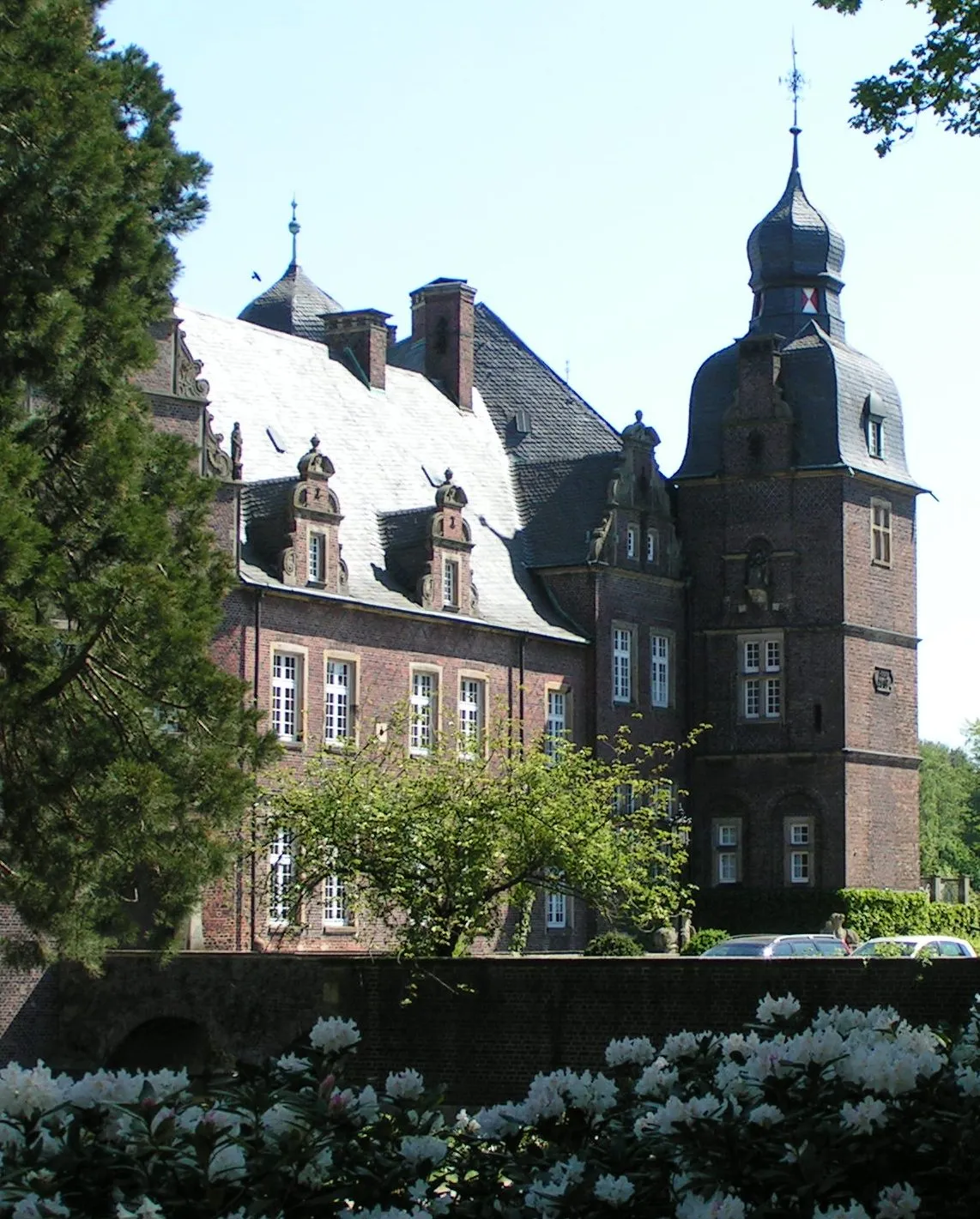 Rosendahl Historic site, Bedburg-Hau8.4 km NE
-
Forst Kleve Natural site, North Rhine-Westphalia7 km NE
-
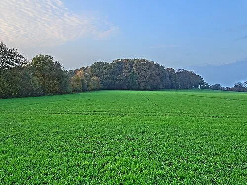 Hingstberg Mountain, Kranenburg10 km N
Other cities and towns in Goch

Sources & licences
Data last updated: · 2 independent sources