- Elevation
- 213 m
- above sea level
- Local time
- UTC+01:00
- Europe/Berlin · UTC+01:00
- Airports
- CGN Cologne Bonn Airport28 km
- HHN Frankfurt-Hahn Airport75 km
About Bersch-Berg
Bersch-Berg is a mountain. Location: Remagen, Landkreis Ahrweiler. Elevation: 213 m. The best months to visit are June–August. The nearest airport is Cologne Bonn Airport (28 km). Nearby sights include Helden-Köpfchen and Wingertsberg.
Photos of Bersch-Berg
-
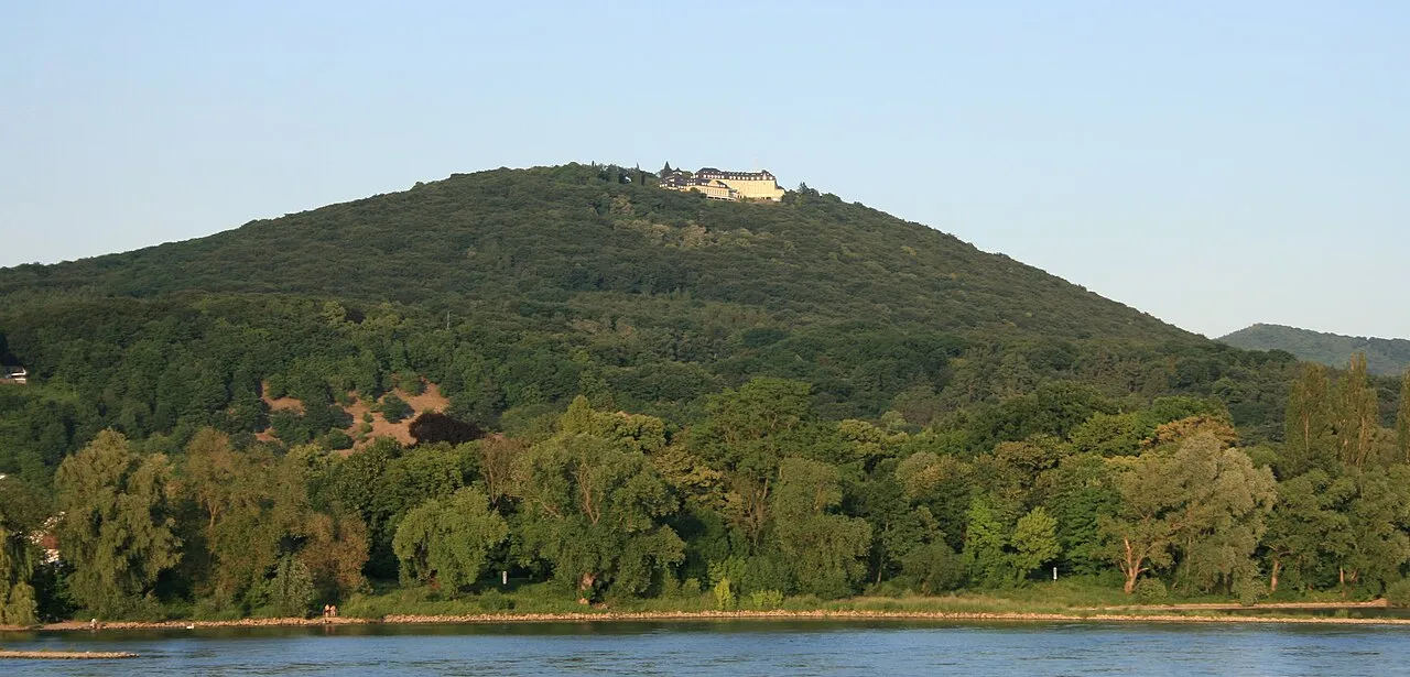
Petersberg Sir James · CC BY-SA 3.0 -
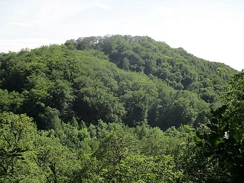
Ölender Leit · CC BY-SA 4.0 -
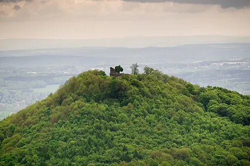
Löwenburg barit · CC BY-SA 2.0 -
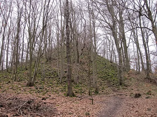
Leyberg Wander.Blog · CC BY-SA 4.0 -
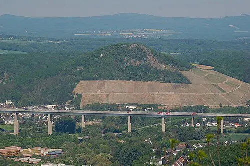
Landskrone Mabol! · CC BY-SA 3.0


Climate of Bersch-Berg
Best months for sightseeingBest months for sightseeing: June–August.
This month · November
A cold month
Day 8° · Night 2° · Rain 64 mm
- Hottest month
- July (day 23°)
- Coldest month
- February (night -1°)
- Wettest month
- July (77 mm)
- Driest month
- February (49 mm)
Bars: average monthly low and high temperature. Below: precipitation. Monthly averages for 1970–2000 at about 18 km resolution, adjusted for elevation. Highlighted months are mild and relatively dry. Source: WorldClim 2.1 (CC BY 4.0).
Show values as a table
| Month | Jan | Feb | Mar | Apr | May | Jun | Jul | Aug | Sep | Oct | Nov | Dec |
|---|---|---|---|---|---|---|---|---|---|---|---|---|
| Average high (°C) | 4° | 5° | 9° | 13° | 18° | 21° | 23° | 23° | 18° | 13° | 8° | 5° |
| Average low (°C) | -1° | -1° | 1° | 4° | 8° | 11° | 13° | 12° | 9° | 6° | 2° | 0° |
| Precipitation (mm) | 60 | 49 | 61 | 52 | 65 | 72 | 77 | 59 | 61 | 61 | 64 | 68 |
How to get to Bersch-Berg
The nearest airport is Cologne Bonn Airport (CGN), 28 km to the north as the crow flies. The nearest large city is Bonn, 15 km to the northwest.
Airports
- Cologne Bonn Airport (CGN) Köln (Cologne) 28 kmnorth
- Frankfurt-Hahn Airport (HHN) Frankfurt am Main (Lautzenhausen) 75 kmsouth
- Düsseldorf Airport (DUS) Düsseldorf 80 kmnorth
Nearby large cities
- Bonn Population: 330.6K 15 kmnorthwest
- Cologne Population: 1M 39 kmnorthwest
- Koblenz Population: 107.3K 40 kmsoutheast
- Bergisch Gladbach Population: 106.2K 41 kmnorth
- Leverkusen Population: 162.7K 48 kmnorth
Straight-line distances; road distances are longer. Airport data: OurAirports.
Day trips from Bersch-Berg
Within 100 km: 650 historic and cultural sites, 3,591 natural sites, 905 lakes, rivers and coasts.
0–25 km427 places
- Kemper Werth Island 18 kmNW
- Laacher See Lake 24 kmS
- Wahnbachtalsperre Lake 23 kmN
- Rotter See Lake 22 kmN
25–60 km1,576 places
- Olef River 49 kmW
- Weibe River 56 kmNE
- Urbach River 27 kmSE
- Hatzenporter Werth Island 47 kmS
60–100 km3,143 places
- Lac de la Gileppe Lake 85 kmW
- Lac d'Eupen Lake 77 kmW
- Lac de Robertville Lake 78 kmW
- Mont de la Tour de Coo Mountain 97 kmW
Straight-line distances.
Nearest towns and villages
-
 Niederbachem Village, Wachtberg3.1 km N
-
Oberwinter Village, Remagen0.9 km SE
-
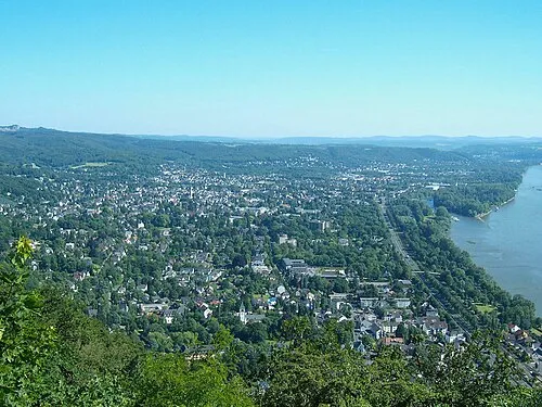 Bad Honnef Town, Bad Honnef3.5 km NE
-
Rheinbreitbach Village, Landkreis Neuwied2.7 km E
-
 Rolandseck Village, Remagen1.4 km NE
-
Unkel Village, Unkel3.1 km SE
Nearby attractions & nature
Everything nearby-
Helden-Köpfchen Mountain, Remagen0.8 km NE
-
Wingertsberg Mountain, Remagen1.8 km SW
-
Himbrich Mountain, Remagen1.4 km SW
-
Wilhelms-Berg Mountain, Remagen1.8 km N
-
Auf dem Horn Mountain, Rheinbreitbach2.7 km E
-
Rodder-Berg Mountain, Remagen2.4 km N
-
Dung-Kopf Mountain, Remagen3.2 km S
-
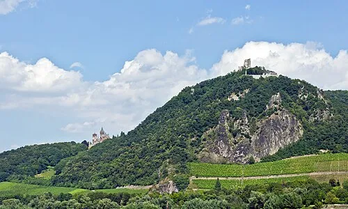 Drachenfels Mountain, Königswinter5.2 km N
Sources & licences
Data last updated: