Landkreis Ahrweiler
Located in Rhineland-Palatinate, Germany Coordinates: 50°28′38″ N 7°02′57″ E
- Population
- 129,353
- 129.4K
- Elevation
- 331 m
- above sea level
- Local time
- UTC+01:00
- Europe/Berlin · UTC+01:00
- Places inside
- 74
- listed under Landkreis Ahrweiler
- Airports
- CGN Cologne Bonn Airport44 km
- HHN Frankfurt-Hahn Airport61 km
About Landkreis Ahrweiler
Landkreis Ahrweiler is a municipality. Location: Rhineland-Palatinate, Germany. Population: 129,353. Elevation: 331 m. The best months to visit are June–August. The nearest airport is Cologne Bonn Airport (44 km). Nearby sights include Heckenbach and Blasweiler Bach.
Photos of Landkreis Ahrweiler
-
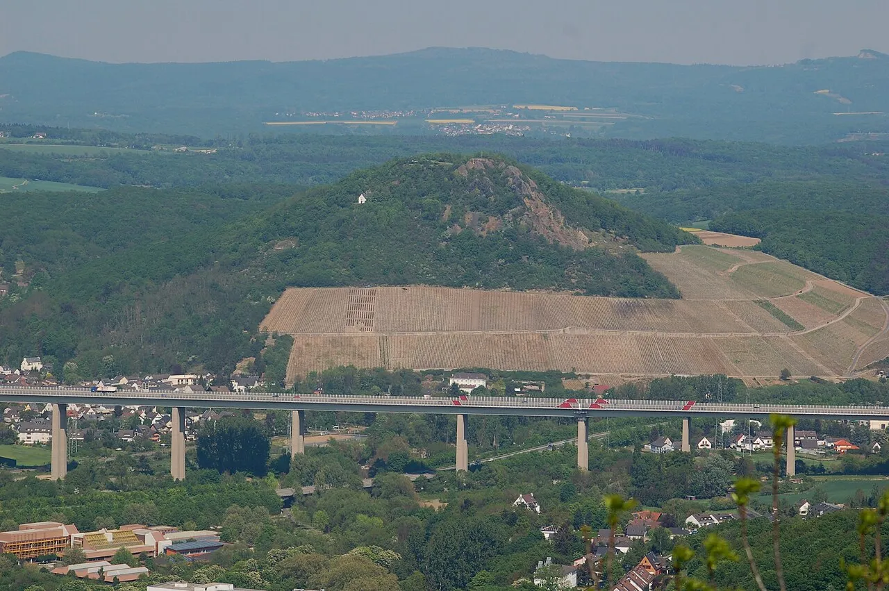
Landskrone Mabol! · CC BY-SA 3.0 -
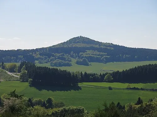
Hohe Acht Jörg Braukmann · CC BY-SA 3.0 -
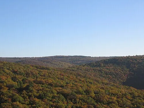
Häuschen Mabol! · CC BY-SA 3.0 -
Aremberg The original uploader was Walter Koch at German Wikipedia · CC BY-SA 2.0 de -
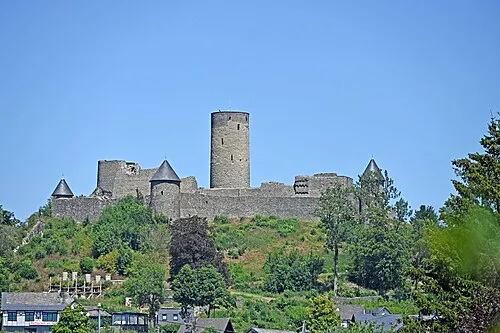
Nürburg Thomas Hummel · CC BY-SA 4.0


Climate of Landkreis Ahrweiler
Best months for sightseeingBest months for sightseeing: June–August.
This month · November
A cold month
Day 7° · Night 2° · Rain 81 mm
- Hottest month
- July (day 22°)
- Coldest month
- February (night -1°)
- Wettest month
- December (91 mm)
- Driest month
- April (62 mm)
Bars: average monthly low and high temperature. Below: precipitation. Monthly averages for 1970–2000 at about 18 km resolution, adjusted for elevation. Highlighted months are mild and relatively dry. Source: WorldClim 2.1 (CC BY 4.0).
Show values as a table
| Month | Jan | Feb | Mar | Apr | May | Jun | Jul | Aug | Sep | Oct | Nov | Dec |
|---|---|---|---|---|---|---|---|---|---|---|---|---|
| Average high (°C) | 4° | 4° | 8° | 12° | 17° | 20° | 22° | 22° | 18° | 13° | 7° | 5° |
| Average low (°C) | -1° | -1° | 2° | 3° | 8° | 11° | 13° | 13° | 10° | 6° | 2° | 0° |
| Precipitation (mm) | 82 | 66 | 78 | 62 | 70 | 74 | 76 | 63 | 72 | 74 | 81 | 91 |
How to get to Landkreis Ahrweiler
The nearest airport is Cologne Bonn Airport (CGN), 44 km to the north as the crow flies. The nearest large city is Bonn, 29 km to the north.
Airports
- Cologne Bonn Airport (CGN) Köln (Cologne) 44 kmnorth
- Frankfurt-Hahn Airport (HHN) Frankfurt am Main (Lautzenhausen) 61 kmsouth
- Düsseldorf Airport (DUS) Düsseldorf 93 kmnorth
Nearby large cities
- Bonn Population: 330.6K 29 kmnorth
- Koblenz Population: 107.3K 40 kmeast
- Cologne Population: 1M 51 kmnorth
- Bergisch Gladbach Population: 106.2K 57 kmnorth
- Leverkusen Population: 162.7K 62 kmnorth
Straight-line distances; road distances are longer. Airport data: OurAirports.
Day trips from Landkreis Ahrweiler
Within 100 km: 625 historic and cultural sites, 3,254 natural sites, 897 lakes, rivers and coasts.
0–25 km569 places
- Laacher See Lake 17 kmSE
- Talsperre Steinbach Lake 20 kmNW
- Wald-See Lake 20 kmSE
- Rodder Maar Lake 10 kmE
25–60 km1,647 places
- Schartenknopf Mountain 49 kmW
- Roderhöhe Mountain 57 kmW
- Petersberg Mountain 51 kmW
- Kodenhüvel Mountain 55 kmW
60–100 km2,560 places
- Île de Franche Garenne Island 100 kmW
- Lac de la Gileppe Lake 76 kmW
- Lac d'Eupen Lake 69 kmW
- Lac de Robertville Lake 66 kmW
Straight-line distances.
Landkreis Ahrweiler and similar cities
Side by side with cities of similar size in the same country: population, elevation and climate.
| Measure | Landkreis Ahrweiler | Fürth | Würzburg | Wolfsburg |
|---|---|---|---|---|
| Population | 129.4K | 132K | 133.7K | 123.1K |
| Elevation | 331 m | 302 m | 204 m | 65 m |
| Summer day (hottest month) | 22° | 25° | 24° | 23° |
| Winter night (coldest month) | -1° | -3° | -2° | -2° |
| Annual rainfall | 889 mm | 718 mm | 659 mm | 610 mm |
| Best months | Jun–Aug | May–Sep | May–Sep | Jun–Aug |
| Distance | — | 304 km | 221 km | 338 km |
Climate values are 1970–2000 monthly averages; straight-line distance.
Places in Landkreis Ahrweiler
74 places- 61 Meuspath 172
- 62 Müsch 165
- 63 Honerath 164
- 64 Pomster 152
- 65 Wirft 148
- 66 Harscheid 147
- 67 Ohlenhard 130
- 68 Fuchshofen 92
- 69 Sierscheid 82
- 70 Senscheid 78
- 71 Trierscheid 77
- 72 Dankerath 70
- 73 Eichenbach 70
- 74 Bauler 47
Bar: population relative to the most populous place in this list.
Nearby attractions & nature
Everything nearby-
Heckenbach River, Rhineland-Palatinate1 km NE
-
Blasweiler Bach River, Rhineland-Palatinate1.1 km NE
-
Atzbach River, Rhineland-Palatinate1.7 km SE
-
Staffeler Bach River, Rhineland-Palatinate1.8 km W
-
Weidenbach River, Rhineland-Palatinate1.9 km W
-
Herschbach River, Rhineland-Palatinate3.2 km SW
-
Ahrweiler Wald Natural site, Rhineland-Palatinate4.3 km NE
-
Kesselinger Bach River, Rhineland-Palatinate4 km W
Sources & licences
Data last updated: