- Elevation
- 274 m
- above sea level
- Local time
- UTC+01:00
- Europe/Berlin · UTC+01:00
- Airports
- CGN Cologne Bonn Airport58 km
- DTM Dortmund Airport89 km
About Biersdorf
Biersdorf is a village. Location: Daaden, Landkreis Altenkirchen. Elevation: 274 m. The best months to visit are June–August. The nearest airport is Cologne Bonn Airport (58 km). Nearby sights include Kahlenberg and Igelshahn.
Photos of Biersdorf
-
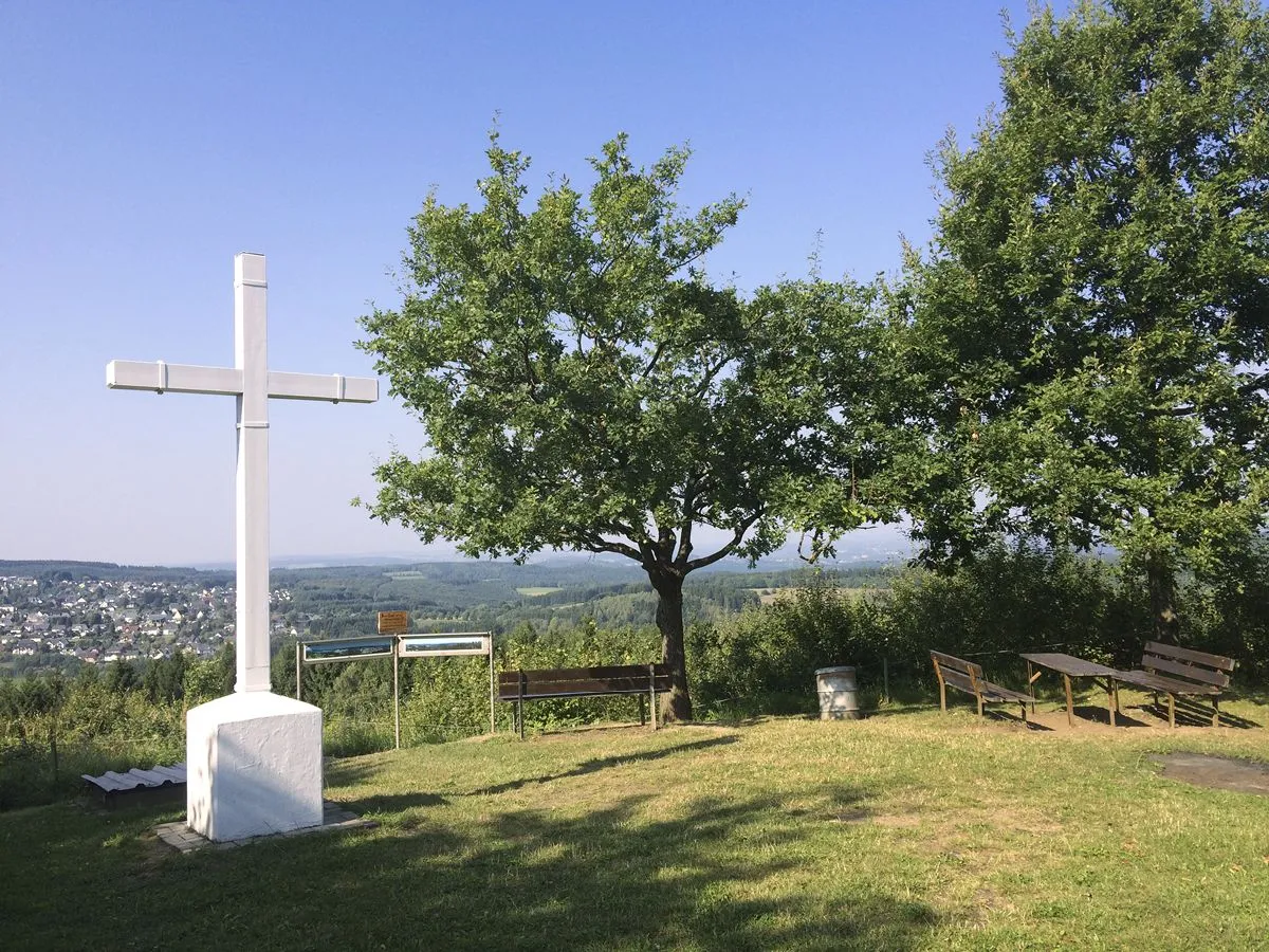
Steinerother Kopf Matthias Schaefgen · CC BY-SA 3.0 -
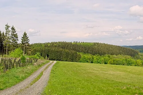
Selterberg Matthias Schaefgen · CC BY-SA 3.0 -
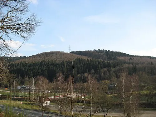
Raßberg Dbawwsnrw · CC BY-SA 3.0 -
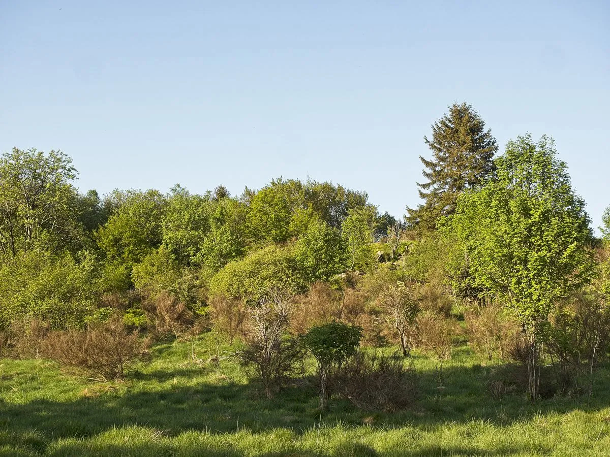
Kleines Steinchen Matthias Schaefgen · CC BY-SA 4.0 -
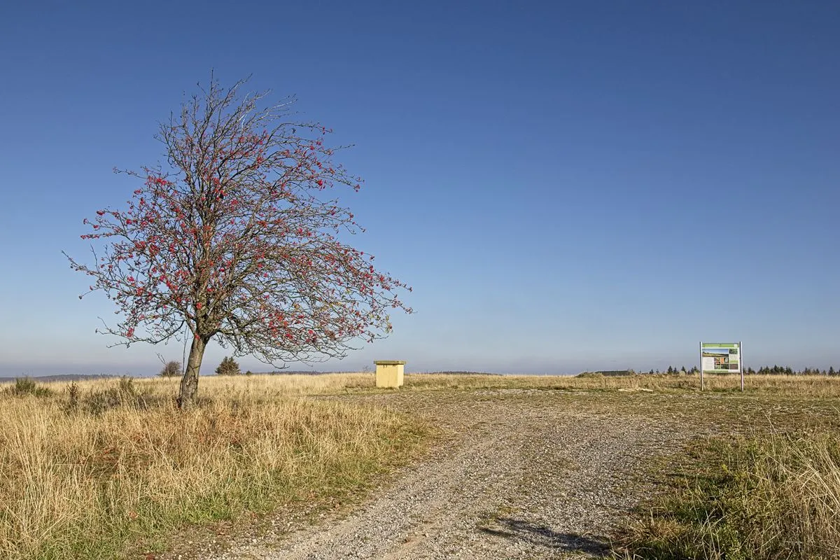
Höllenkopf Matthias Schaefgen · CC BY-SA 4.0


Climate of Biersdorf
Best months for sightseeingBest months for sightseeing: June–August.
This month · November
A cold month
Day 7° · Night 2° · Rain 92 mm
- Hottest month
- July (day 23°)
- Coldest month
- February (night -2°)
- Wettest month
- December (108 mm)
- Driest month
- April (65 mm)
Bars: average monthly low and high temperature. Below: precipitation. Monthly averages for 1970–2000 at about 18 km resolution, adjusted for elevation. Highlighted months are mild and relatively dry. Source: WorldClim 2.1 (CC BY 4.0).
Show values as a table
| Month | Jan | Feb | Mar | Apr | May | Jun | Jul | Aug | Sep | Oct | Nov | Dec |
|---|---|---|---|---|---|---|---|---|---|---|---|---|
| Average high (°C) | 4° | 5° | 9° | 13° | 18° | 21° | 23° | 22° | 18° | 13° | 7° | 5° |
| Average low (°C) | -2° | -2° | 1° | 3° | 8° | 11° | 12° | 12° | 9° | 5° | 2° | 0° |
| Precipitation (mm) | 97 | 73 | 88 | 65 | 70 | 80 | 84 | 69 | 77 | 82 | 92 | 108 |
How to get to Biersdorf
The nearest airport is Cologne Bonn Airport (CGN), 58 km to the west as the crow flies. The nearest large city is Siegen, 15 km to the north.
Airports
- Cologne Bonn Airport (CGN) Köln (Cologne) 58 kmwest
- Dortmund Airport (DTM) Dortmund 89 kmnorth
- Frankfurt Main Airport (FRA) Frankfurt am Main 91 kmsoutheast
Nearby large cities
- Siegen Population: 107.2K 15 kmnorth
- Koblenz Population: 107.3K 51 kmsouthwest
- Bonn Population: 330.6K 60 kmwest
- Bergisch Gladbach Population: 106.2K 63 kmnorthwest
- Remscheid Population: 117.1K 72 kmnorthwest
Straight-line distances; road distances are longer. Airport data: OurAirports.
Day trips from Biersdorf
Within 100 km: 789 historic and cultural sites, 4,375 natural sites, 830 lakes, rivers and coasts.
0–25 km369 places
- Weibe River 15 kmN
- Krombachtalsperre Lake 19 kmSE
- Dreifelder Weiher Lake 19 kmSW
- Wiesensee Lake 18 kmS
25–60 km1,951 places
- Else River 54 kmN
- Ohe River 53 kmE
- Lumda River 54 kmE
- Aar River 42 kmS
60–100 km3,674 places
- Else River 81 kmN
- Valme River 75 kmNE
- Ogge River 78 kmNE
- Liese River 63 kmNE
Straight-line distances.
Nearby attractions & nature
Everything nearby-
Kahlenberg Mountain, Herdorf1 km N
-
Igelshahn Mountain, Herdorf1 km NE
-
Hachenburger Höhe Mountain, Herdorf1.5 km NW
-
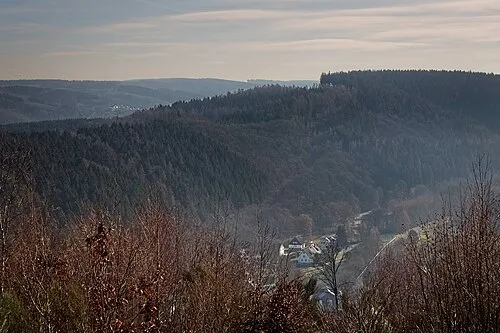 Höhwegskopf Mountain, Niederdreisbach2.2 km W
-
Hohenseelbachskopf Mountain, Daaden3 km NE
-
Schimmerich Mountain, Friedewald3.9 km SE
Sources & licences
Data last updated: