Kirchen (Sieg)
Located in Landkreis Altenkirchen, Rhineland-Palatinate Coordinates: 50°48′00″ N 7°53′00″ E
- Population
- 8,318
- 8.3K
- Elevation
- 251 m
- above sea level
- Local time
- UTC+01:00
- Europe/Berlin · UTC+01:00
- Places inside
- 19
- listed under Kirchen (Sieg)
- Airports
- CGN Cologne Bonn Airport53 km
- DTM Dortmund Airport82 km
About Kirchen (Sieg)
Kirchen (Sieg) is a village. Location: Landkreis Altenkirchen, Rhineland-Palatinate. Population: 8,318. Elevation: 251 m. The best months to visit are June–August. The nearest airport is Cologne Bonn Airport (53 km). Nearby sights include Molzberg and Asdorf.
Photos of Kirchen (Sieg)
-
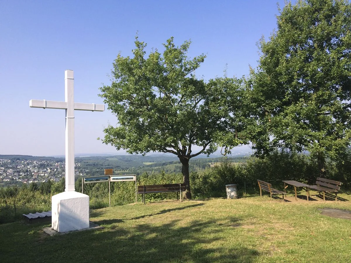
Steinerother Kopf Matthias Schaefgen · CC BY-SA 3.0 -
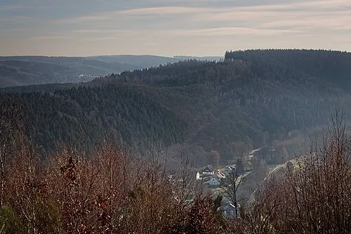
Höhwegskopf Matthias Schaefgen · CC BY-SA 3.0


Climate of Kirchen (Sieg)
Best months for sightseeingBest months for sightseeing: June–August.
This month · November
A cold month
Day 7° · Night 2° · Rain 92 mm
- Hottest month
- July (day 23°)
- Coldest month
- February (night -2°)
- Wettest month
- December (108 mm)
- Driest month
- April (65 mm)
Bars: average monthly low and high temperature. Below: precipitation. Monthly averages for 1970–2000 at about 18 km resolution, adjusted for elevation. Highlighted months are mild and relatively dry. Source: WorldClim 2.1 (CC BY 4.0).
Show values as a table
| Month | Jan | Feb | Mar | Apr | May | Jun | Jul | Aug | Sep | Oct | Nov | Dec |
|---|---|---|---|---|---|---|---|---|---|---|---|---|
| Average high (°C) | 4° | 5° | 9° | 13° | 18° | 21° | 23° | 23° | 18° | 13° | 7° | 5° |
| Average low (°C) | -1° | -2° | 1° | 3° | 8° | 11° | 13° | 12° | 9° | 6° | 2° | 0° |
| Precipitation (mm) | 97 | 73 | 88 | 65 | 70 | 80 | 84 | 69 | 77 | 82 | 92 | 108 |
How to get to Kirchen (Sieg)
The nearest airport is Cologne Bonn Airport (CGN), 53 km to the west as the crow flies. The nearest large city is Siegen, 13 km to the northeast.
Airports
- Cologne Bonn Airport (CGN) Köln (Cologne) 53 kmwest
- Dortmund Airport (DTM) Dortmund 82 kmnorth
- Düsseldorf Airport (DUS) Düsseldorf 95 kmnorthwest
Nearby large cities
- Siegen Population: 107.2K 13 kmnortheast
- Koblenz Population: 107.3K 54 kmsouthwest
- Bonn Population: 330.6K 56 kmwest
- Bergisch Gladbach Population: 106.2K 57 kmwest
- Remscheid Population: 117.1K 64 kmnorthwest
Straight-line distances; road distances are longer. Airport data: OurAirports.
Day trips from Kirchen (Sieg)
Within 100 km: 770 historic and cultural sites, 4,294 natural sites, 832 lakes, rivers and coasts.
0–25 km331 places
- Weibe River 9 kmN
- Dreifelder Weiher Lake 24 kmS
- Wiehltalsperre Lake 21 kmNW
- Wiesensee Lake 25 kmS
25–60 km1,907 places
- Else River 48 kmN
- Ohe River 57 kmE
- Aar River 49 kmS
- Urbach River 39 kmSW
60–100 km3,658 places
- Else River 74 kmN
- Valme River 72 kmNE
- Ogge River 78 kmNE
- Lumda River 60 kmE
Straight-line distances.
Places in Kirchen (Sieg)
19 placesBar: population relative to the most populous place in this list.
Cities & villages14
- Backhaus · Village
- Brühlhof · Village
- Freusburg · Village
- Freusburgermühle · Village
- Grindel · Village
- Herkersdorf · Village
- Jungenthal · Village
- Katzenbach · Village
- Kircherhütte · Village
- Niederasdorf · Village
- Offhausen · Village
- Wehbach · Village
- Wingendorf · Village
- Winnersbach · Village
Mountains & nature4
- Brühlkopf · Mountain
- Gompertsknapp · Mountain
- Ringelscheid · Mountain
- Weisenstein · Mountain
Nearby attractions & nature
Everything nearby-
Molzberg Mountain, Betzdorf1.5 km W
-
Asdorf River, Germany1.1 km N
-
Heller River, Rhineland-Palatinate2.1 km S
-
Wasserberg Mountain, Herdorf3.3 km SE
-
Arsberg Mountain, Alsdorf3.7 km S
-
Alter Bornskopf Mountain, Steineroth4.7 km S
Other cities and towns in Landkreis Altenkirchen
-
 Steineroth Village, Landkreis Altenkirchen4.9 km S
-
Alsdorf Village, Landkreis Altenkirchen3.6 km S
-
Grünebach Village, Landkreis Altenkirchen3 km SE
-
Katzwinkel Village, Katzwinkel (Sieg)4.6 km W
-
Alsdorf Village, Alsdorf2.5 km S
-
Scheuerfeld Village, Scheuerfeld3.3 km SW
Sources & licences
Data last updated: