Landkreis Altenkirchen
Located in Rhineland-Palatinate, Germany Coordinates: 50°46′45″ N 7°45′00″ E
- Population
- 132,125
- 132.1K
- Elevation
- 157 m
- above sea level
- Local time
- UTC+01:00
- Europe/Berlin · UTC+01:00
- Places inside
- 117
- listed under Landkreis Altenkirchen
- Airports
- CGN Cologne Bonn Airport44 km
- DTM Dortmund Airport83 km
About Landkreis Altenkirchen
Landkreis Altenkirchen is a municipality. Location: Rhineland-Palatinate, Germany. Population: 132,125. Elevation: 157 m. The best months to visit are June–August. The nearest airport is Cologne Bonn Airport (44 km). Nearby sights include Elbbach and Brölbach.
Photos of Landkreis Altenkirchen
-
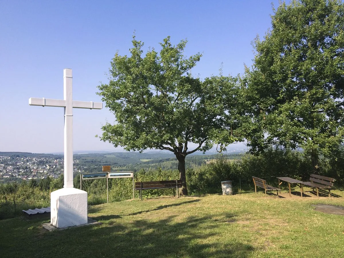
Steinerother Kopf Matthias Schaefgen · CC BY-SA 3.0 -
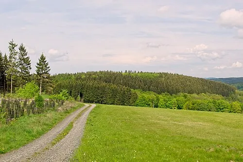
Selterberg Matthias Schaefgen · CC BY-SA 3.0 -
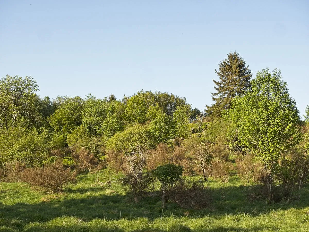
Kleines Steinchen Matthias Schaefgen · CC BY-SA 4.0 -
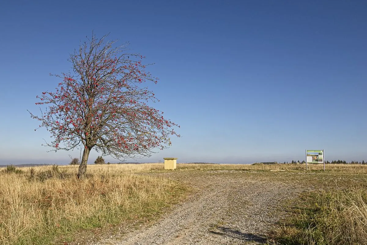
Höllenkopf Matthias Schaefgen · CC BY-SA 4.0 -
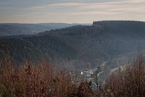
Höhwegskopf Matthias Schaefgen · CC BY-SA 3.0


Climate of Landkreis Altenkirchen
Best months for sightseeingBest months for sightseeing: June–August.
This month · November
A cold month
Day 8° · Night 3° · Rain 95 mm
- Hottest month
- July (day 23°)
- Coldest month
- February (night -1°)
- Wettest month
- December (112 mm)
- Driest month
- April (67 mm)
Bars: average monthly low and high temperature. Below: precipitation. Monthly averages for 1970–2000 at about 18 km resolution, adjusted for elevation. Highlighted months are mild and relatively dry. Source: WorldClim 2.1 (CC BY 4.0).
Show values as a table
| Month | Jan | Feb | Mar | Apr | May | Jun | Jul | Aug | Sep | Oct | Nov | Dec |
|---|---|---|---|---|---|---|---|---|---|---|---|---|
| Average high (°C) | 4° | 6° | 9° | 14° | 19° | 21° | 23° | 23° | 19° | 14° | 8° | 5° |
| Average low (°C) | -1° | -1° | 1° | 3° | 8° | 11° | 13° | 12° | 9° | 6° | 3° | 1° |
| Precipitation (mm) | 100 | 76 | 91 | 67 | 73 | 84 | 88 | 72 | 80 | 84 | 95 | 112 |
How to get to Landkreis Altenkirchen
The nearest airport is Cologne Bonn Airport (CGN), 44 km to the west as the crow flies. The nearest large city is Siegen, 22 km to the northeast.
Airports
- Cologne Bonn Airport (CGN) Köln (Cologne) 44 kmwest
- Dortmund Airport (DTM) Dortmund 83 kmnorth
- Düsseldorf Airport (DUS) Düsseldorf 89 kmnorthwest
Nearby large cities
- Siegen Population: 107.2K 22 kmnortheast
- Bonn Population: 330.6K 46 kmwest
- Koblenz Population: 107.3K 49 kmsouth
- Bergisch Gladbach Population: 106.2K 49 kmnorthwest
- Cologne Population: 1M 59 kmwest
Straight-line distances; road distances are longer. Airport data: OurAirports.
Day trips from Landkreis Altenkirchen
Within 100 km: 784 historic and cultural sites, 4,257 natural sites, 848 lakes, rivers and coasts.
0–25 km241 places
- Weibe River 14 kmNE
- Dreifelder Weiher Lake 22 kmS
- Wiehltalsperre Lake 19 kmN
- Ziegenberg Mountain 14 kmNE
25–60 km1,962 places
- Else River 51 kmN
- Aar River 49 kmS
- Urbach River 32 kmSW
- Kemper Werth Island 47 kmW
60–100 km3,686 places
- Olef River 91 kmW
- Else River 74 kmN
- Valme River 79 kmNE
- Ohe River 67 kmE
Straight-line distances.
Landkreis Altenkirchen and similar cities
Side by side with cities of similar size in the same country: population, elevation and climate.
| Measure | Landkreis Altenkirchen | Fürth | Würzburg | Wolfsburg |
|---|---|---|---|---|
| Population | 132.1K | 132K | 133.7K | 123.1K |
| Elevation | 157 m | 302 m | 204 m | 65 m |
| Summer day (hottest month) | 23° | 25° | 24° | 23° |
| Winter night (coldest month) | -1° | -3° | -2° | -2° |
| Annual rainfall | 1,022 mm | 718 mm | 659 mm | 610 mm |
| Best months | Jun–Aug | May–Sep | May–Sep | Jun–Aug |
| Distance | — | 273 km | 191 km | 278 km |
Climate values are 1970–2000 monthly averages; straight-line distance.
Places in Landkreis Altenkirchen
117 places- 61 Molzhain 536
- 62 Hövels 529
- 63 Harbach 526
- 64 Grünebach 520
- 65 Eichelhardt 514
- 66 Ingelbach 495
- 67 Burglahr 493
- 68 Mehren 465
- 69 Reiferscheid 441
- 70 Birkenbeul 430
- 71 Oberwambach 426
- 72 Schöneberg 421
- 73 Almersbach 402
- 74 Rott 398
- 75 Fensdorf 382
- 76 Wölmersen 372
- 77 Nisterberg 369
- 78 Schutzbach 364
- 79 Rettersen 363
- 80 Dickendorf 362
- 81 Busenhausen 352
- 82 Elben 342
- 83 Kettenhausen 340
- 84 Hasselbach 317
- 85 Hirz-Maulsbach 310
- 86 Hilgenroth 298
- 87 Schürdt 291
- 88 Fiersbach 286
- 89 Hemmelzen 282
- 90 Seelbach (Westerwald) 281
- 91 Sörth 260
- 92 Heupelzen 251
- 93 Obersteinebach 233
- 94 Orfgen 233
- 95 Werkhausen 226
- 96 Stürzelbach 222
- 97 Helmeroth 217
- 98 Niedersteinebach 204
- 99 Berzhausen 196
- 100 Forstmehren 164
- 101 Ziegenhain 163
- 102 Kraam 161
- 103 Walterschen 157
- 104 Racksen 138
- 105 Kescheid 128
- 106 Seelbach bei Hamm (Sieg) 128
- 107 Seifen 126
- 108 Mauden 124
- 109 Isert 108
- 110 Giershausen 101
- 111 Bachenberg 94
- 112 Niederirsen 93
- 113 Ölsen 80
- 114 Ersfeld 77
- 115 Volkerzen 71
- 116 Idelberg 62
- 117 Eulenberg 52
Bar: population relative to the most populous place in this list.
Nearby attractions & nature
Everything nearby-
Elbbach River, Rhineland-Palatinate0.3 km S
-
Brölbach River, Rhineland-Palatinate1.4 km NW
-
Wisserbach River, Rhineland-Palatinate1.5 km NW
-
Selbach River, Rhineland-Palatinate1.8 km SE
-
Nister River, Rhineland-Palatinate2.9 km W
-
Große Nister River, Rhineland-Palatinate3 km W
-
Wipperbach River, Rhineland-Palatinate3.8 km N
-
Großmicke River, Rhineland-Palatinate4.7 km E
Sources & licences
Data last updated: