Hoher Stoppelkopf
Located in Deidesheim, Landkreis Bad Dürkheim Coordinates: 49°23′50″ N 8°04′25″ E
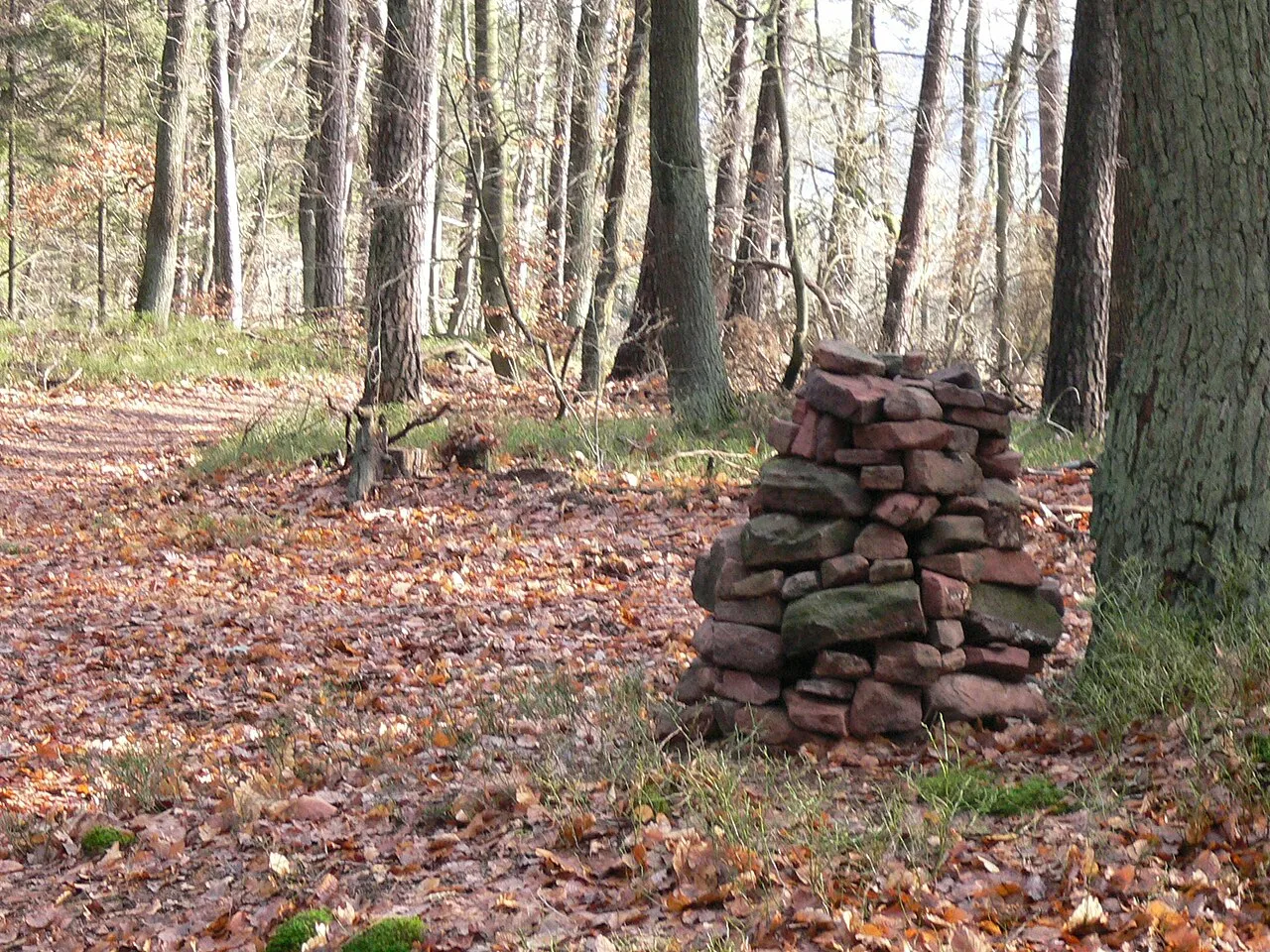
- Elevation
- 566 m
- above sea level
- Local time
- UTC+01:00
- Europe/Berlin · UTC+01:00
- Airports
- MHG Mannheim-City Airport33 km
- FKB Karlsruhe Baden-Baden Airport69 km
About Hoher Stoppelkopf
Hoher Stoppelkopf is a mountain. Location: Deidesheim, Landkreis Bad Dürkheim. Elevation: 566 m.
The Hohe Stoppelkopf, locally just called the Stoppelkopf, is a 566.2-metre-high hill in the Palatine Forest in the German state of Rhineland-Palatinate. It lies 3 km north of the small town of Lambrecht. Together with the Drachenfels (577 m) to the northwest and the Stabenberg (496 m) to the east, the Stoppelkopf lies on the watershed between the catchment areas of two Palatine Rhine tributaries, the Speyerbach (south) and the Isenach (north).
Source: Wikipedia · CC BY-SA 4.0
Photos of Hoher Stoppelkopf
-

MR 2017 · CC0 -

MR 2017 · CC0 -
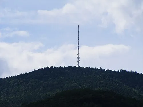
Weinbiet Mundartpoet <Dialog auf Hochdeutsch> · CC BY-SA 3.0 -
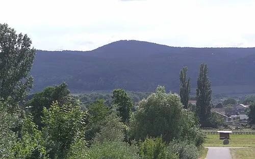
Stabenberg Kallistratos · Public domain -
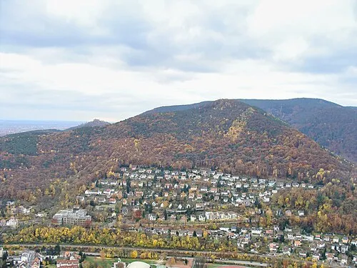
Nollenkopf Steffen 962 · CC0


Climate of Hoher Stoppelkopf
Best months for sightseeingBest months for sightseeing: June–August.
This month · November
A cold month
Day 5° · Night 0° · Rain 66 mm
- Hottest month
- July (day 21°)
- Coldest month
- January (night -3°)
- Wettest month
- May (74 mm)
- Driest month
- April (51 mm)
Bars: average monthly low and high temperature. Below: precipitation. Monthly averages for 1970–2000 at about 18 km resolution, adjusted for elevation. Highlighted months are mild and relatively dry. Source: WorldClim 2.1 (CC BY 4.0).
Show values as a table
| Month | Jan | Feb | Mar | Apr | May | Jun | Jul | Aug | Sep | Oct | Nov | Dec |
|---|---|---|---|---|---|---|---|---|---|---|---|---|
| Average high (°C) | 2° | 3° | 7° | 11° | 16° | 19° | 21° | 21° | 17° | 11° | 5° | 3° |
| Average low (°C) | -3° | -3° | 0° | 2° | 7° | 10° | 12° | 11° | 8° | 4° | 0° | -2° |
| Precipitation (mm) | 55 | 54 | 54 | 51 | 74 | 70 | 70 | 53 | 57 | 64 | 66 | 72 |
How to get to Hoher Stoppelkopf
The nearest airport is Mannheim-City Airport (MHG), 33 km to the east as the crow flies. For international flights: Karlsruhe Baden-Baden Airport (FKB) (69 km). The nearest large city is Ludwigshafen am Rhein, 29 km to the east.
Airports
- Mannheim-City Airport (MHG) Mannheim 33 kmeast
- Karlsruhe Baden-Baden Airport (FKB) Rheinmünster 69 kmsouth
- Saarbrücken Airport (SCN) Saarbrücken 73 kmwest
Nearby large cities
- Ludwigshafen am Rhein Population: 163.2K 29 kmeast
- Mannheim Population: 308K 30 kmeast
- Heidelberg Population: 143.3K 45 kmeast
- Karlsruhe Population: 283.8K 49 kmsoutheast
- Mainz Population: 222.9K 67 kmnorth
Straight-line distances; road distances are longer. Airport data: OurAirports.
Day trips from Hoher Stoppelkopf
Within 100 km: 921 historic and cultural sites, 3,691 natural sites, 788 lakes, rivers and coasts.
0–25 km444 places
- Zwieselkopf Mountain 21 kmSW
- Zwergberg Mountain 8 kmS
- Zimmerberg Mountain 12 kmN
- Zigeunerkopf Mountain 4 kmSW
25–60 km1,698 places
- Elsenz River 52 kmE
- Modau River 54 kmNE
- Friesenheimer Insel Island 30 kmNE
- Insel Flotzgrün Island 30 kmSE
60–100 km3,258 places
- Rench River 80 kmS
- Rüdesheimer Aue Island 65 kmN
- Petersaue Island 71 kmN
- Mariannenaue Island 68 kmN
Straight-line distances.
Nearest towns and villages
-
Lambrecht Village, Lambrecht (Pfalz)3 km S
-
Neidenfels Village, Landkreis Bad Dürkheim2.2 km SW
-
Neidenfels Village, Neidenfels2.2 km SW
-
Lindenberg Village, Lambrecht (Pfalz)2.6 km SE
-
Lindenberg Village, Landkreis Bad Dürkheim2.6 km SE
-
Lambrecht (Pfalz) Village, Landkreis Bad Dürkheim3.6 km S
Nearby attractions & nature
Everything nearby-
Hermannskopf Mountain, Deidesheim1 km SE
-
Steinberg Mountain, Wachenheim an der Weinstraße1 km NW
-
Salweidenkopf Mountain, Neidenfels1.4 km NW
-
Weisenberg Mountain, Bad Dürkheim2.2 km N
-
Hohe Ebene Mountain, Neidenfels2.2 km NW
-
Hohe Loog Mountain, Frankenstein2.4 km NW
-
Schützlerberg Mountain, Frankeneck3.3 km SW
-
Schwalbeneck Mountain, Neustadt an der Weinstraße3.3 km SE
Sources & licences
Data last updated: · 2 independent sources