Kalmit
Located in Maikammer, Landkreis Südliche Weinstraße Coordinates: 49°19′10″ N 8°04′57″ E
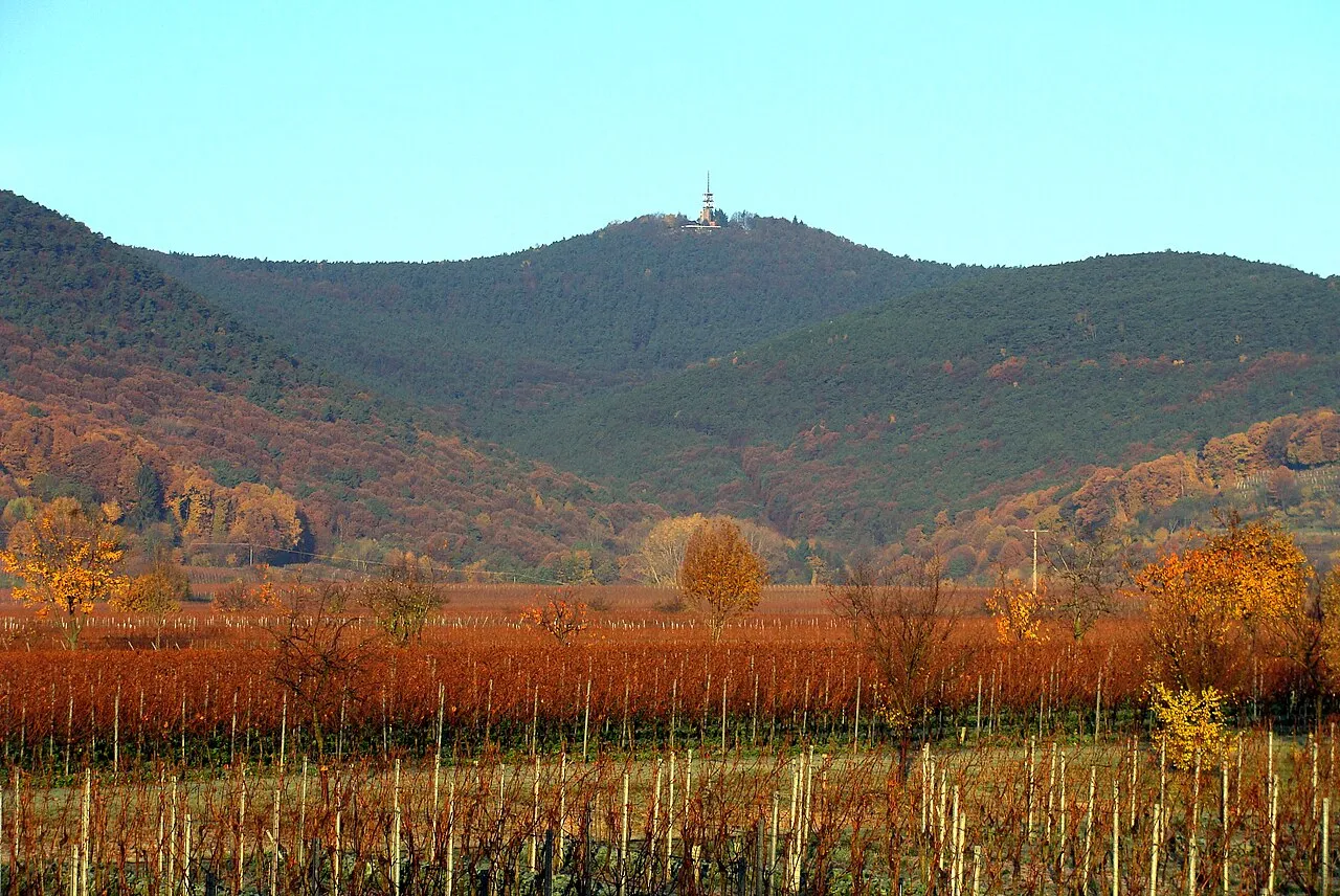
- Elevation
- 673 m
- above sea level
- Local time
- UTC+01:00
- Europe/Berlin · UTC+01:00
- Airports
- MHG Mannheim-City Airport36 km
- FKB Karlsruhe Baden-Baden Airport60 km
About Kalmit
Kalmit is a mountain. Location: Maikammer, Landkreis Südliche Weinstraße. Elevation: 673 m.
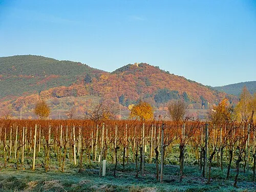
The Kalmit is the highest peak in the Palatinate Forest and the second highest (after the Donnersberg) in the Palatinate region of Germany. It is 672.6 m above sea level (NHN) and located 5.5 kilometres (3.4 mi) south of the town of Neustadt an der Weinstraße. The mountain attracts many tourists thanks to the numerous footpaths leading to its summit, its mountaintop restaurant, extensive views over the Palatinate wine region and striking rock formations on its forest-clad mountainsides.
Source: Wikipedia · CC BY-SA 4.0
At a glance
- Topographic prominence
- 388 m
Source: Wikidata
Photos of Kalmit
-

Kreuzschnabel · CC BY-SA 3.0 -

Fischer.H · CC BY-SA 4.0 -

Steffen 962 · CC BY-SA 4.0 -

Karlunun · CC BY-SA 4.0 -

Stefan Oemisch · CC BY-SA 4.0


Climate of Kalmit
Best months for sightseeingBest months for sightseeing: June–August.
This month · November
A cold month
Day 5° · Night -1° · Rain 71 mm
- Hottest month
- July (day 21°)
- Coldest month
- January (night -4°)
- Wettest month
- December (78 mm)
- Driest month
- April (50 mm)
Bars: average monthly low and high temperature. Below: precipitation. Monthly averages for 1970–2000 at about 18 km resolution, adjusted for elevation. Highlighted months are mild and relatively dry. Source: WorldClim 2.1 (CC BY 4.0).
Show values as a table
| Month | Jan | Feb | Mar | Apr | May | Jun | Jul | Aug | Sep | Oct | Nov | Dec |
|---|---|---|---|---|---|---|---|---|---|---|---|---|
| Average high (°C) | 1° | 2° | 7° | 11° | 16° | 19° | 21° | 21° | 16° | 11° | 5° | 2° |
| Average low (°C) | -4° | -4° | -1° | 1° | 6° | 9° | 11° | 10° | 7° | 3° | -1° | -3° |
| Precipitation (mm) | 59 | 58 | 56 | 50 | 74 | 74 | 68 | 52 | 58 | 69 | 71 | 78 |
How to get to Kalmit
The nearest airport is Mannheim-City Airport (MHG), 36 km to the northeast as the crow flies. For international flights: Karlsruhe Baden-Baden Airport (FKB) (60 km). The nearest large city is Ludwigshafen am Rhein, 32 km to the northeast.
Airports
- Mannheim-City Airport (MHG) Mannheim 36 kmnortheast
- Karlsruhe Baden-Baden Airport (FKB) Rheinmünster 60 kmsouth
- Saarbrücken Airport (SCN) Saarbrücken 72 kmwest
Nearby large cities
- Ludwigshafen am Rhein Population: 163.2K 32 kmnortheast
- Mannheim Population: 308K 34 kmnortheast
- Karlsruhe Population: 283.8K 42 kmsoutheast
- Heidelberg Population: 143.3K 45 kmeast
- Pforzheim Population: 119.3K 66 kmsoutheast
Straight-line distances; road distances are longer. Airport data: OurAirports.
Day trips from Kalmit
Within 100 km: 947 historic and cultural sites, 3,717 natural sites, 796 lakes, rivers and coasts.
0–25 km517 places
- Zwieselkopf Mountain 16 kmSW
- Zwergberg Mountain 1 kmN
- Zimmerberg Mountain 21 kmN
- Zigeunerkopf Mountain 8 kmNW
25–60 km1,615 places
- Elsenz River 52 kmE
- Friesenheimer Insel Island 35 kmNE
- Insel Flotzgrün Island 26 kmE
- Neckarinsel Island 45 kmE
60–100 km3,328 places
- Unditz River 99 kmS
- Rench River 71 kmS
- Modau River 62 kmNE
- Rüdesheimer Aue Island 74 kmN
Straight-line distances.
Nearest towns and villages
-
Sankt Martin Village, Landkreis Südliche Weinstraße2.7 km SE
-
Sankt Martin Village, Sankt Martin2.7 km SE
-
Maikammer Village, Maikammer3.9 km SE
-
Neustadt an der Weinstraße Village, Kreisfreie Stadt Neustadt an der Weinstraße5.7 km NE
-
Neustadt an der Weinstraße Town, Neustadt an der Weinstraße5.3 km NE
-
Alsterweiler Village, Maikammer3 km SE
Nearby attractions & nature
Everything nearby-
Kanzel Mountain, Maikammer0.6 km E
-
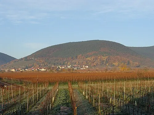 Breitenberg Mountain, Sankt Martin1.2 km SE
-
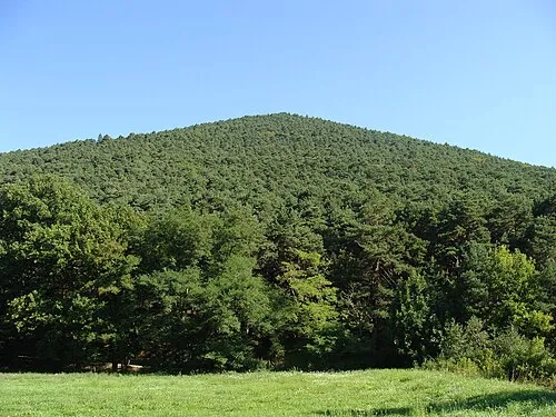 Hüttenberg Mountain, Sankt Martin1.3 km SW
-
Taubenkopf Mountain, Neustadt an der Weinstraße0.5 km NE
-
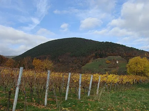 Sommerberg Mountain, Neustadt an der Weinstraße1.7 km E
-
Klausental Natural site, Rhineland-Palatinate1.3 km E
-
 Wetterkreuzberg Mountain, Maikammer1.9 km SE
-
Zwergberg Mountain, Neustadt an der Weinstraße1 km N
Sources & licences
Data last updated: · 2 independent sources