Rhein-Hunsrück-Kreis
Located in Rhineland-Palatinate, Germany Coordinates: 50°04′04″ N 7°32′48″ E
- Population
- 106,705
- 106.7K
- Elevation
- 429 m
- above sea level
- Local time
- UTC+01:00
- Europe/Berlin · UTC+01:00
- Places inside
- 137
- listed under Rhein-Hunsrück-Kreis
- Airports
- HHN Frankfurt-Hahn Airport24 km
- FRA Frankfurt Main Airport73 km
About Rhein-Hunsrück-Kreis
Rhein-Hunsrück-Kreis is a municipality. Location: Rhineland-Palatinate, Germany. Population: 106,705. Elevation: 429 m. The best months to visit are June–August. The nearest airport is Frankfurt-Hahn Airport (24 km). Nearby sights include Grundbach and Klosterwald.
Photos of Rhein-Hunsrück-Kreis
-
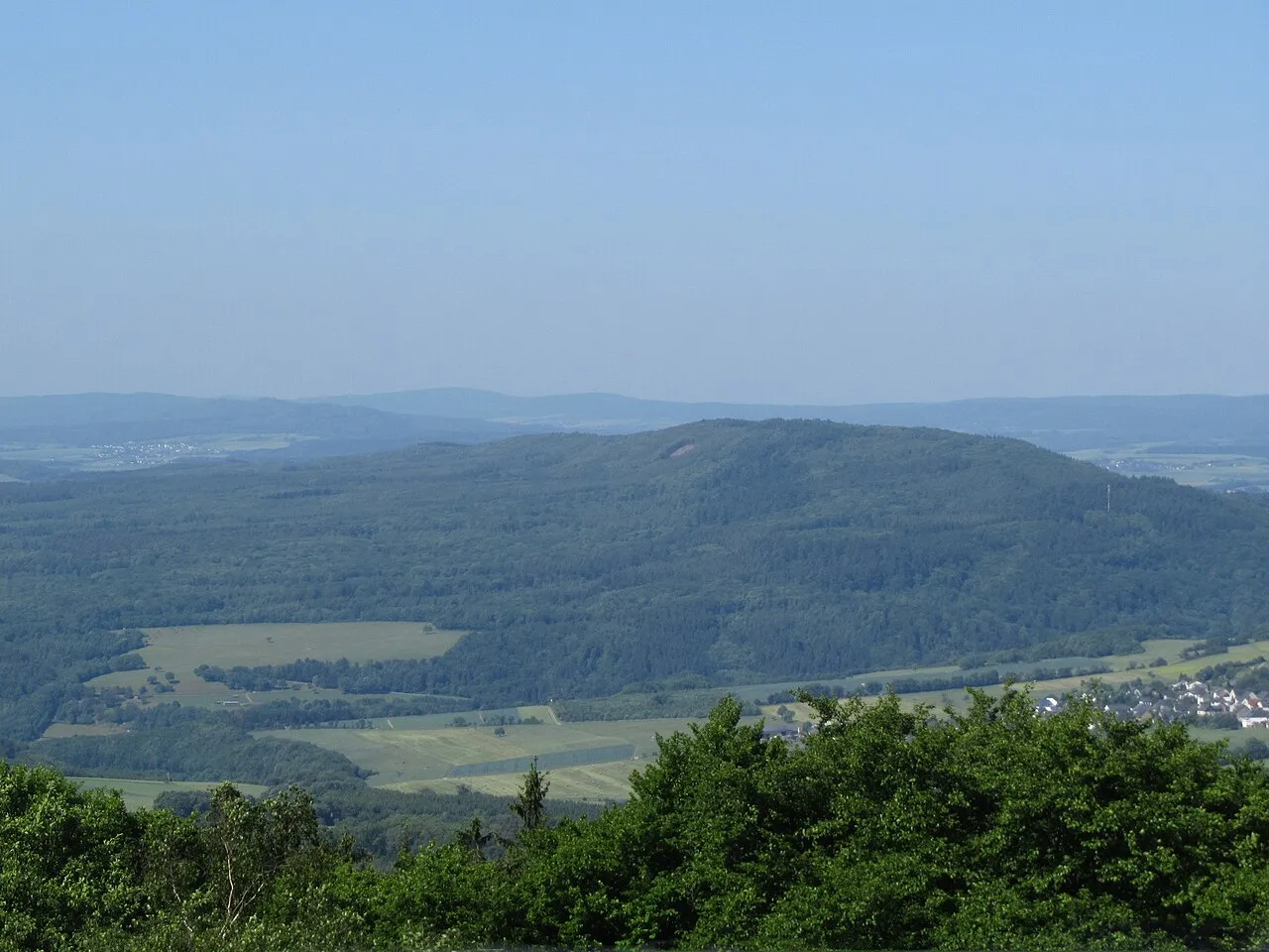
Womrather Höhe Jörg Braukmann · CC BY-SA 3.0 -
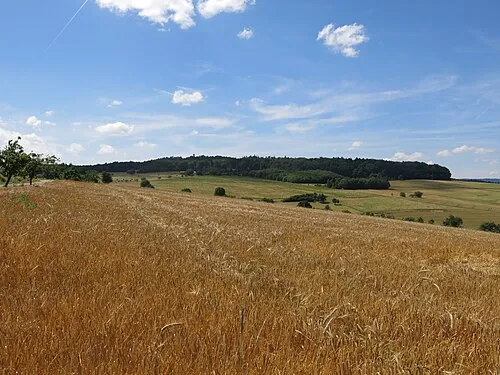
Spitzestein Jörg Braukmann · CC BY-SA 4.0 -
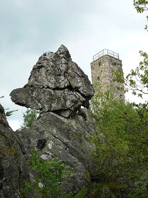
Koppensteiner Höhe AK-Bino · CC BY-SA 4.0 -
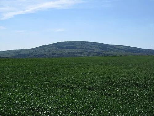
Hochsteinchen Jörg Braukmann · CC BY-SA 3.0 -
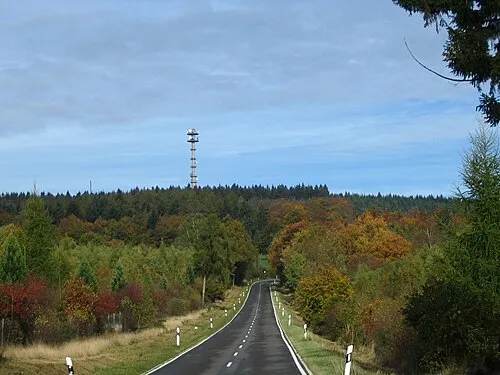
Schanzerkopf Markus Braun · Public domain


Climate of Rhein-Hunsrück-Kreis
Best months for sightseeingBest months for sightseeing: June–August.
This month · November
A cold month
Day 6° · Night 1° · Rain 60 mm
- Hottest month
- July (day 22°)
- Coldest month
- January (night -2°)
- Wettest month
- May (71 mm)
- Driest month
- February (47 mm)
Bars: average monthly low and high temperature. Below: precipitation. Monthly averages for 1970–2000 at about 18 km resolution, adjusted for elevation. Highlighted months are mild and relatively dry. Source: WorldClim 2.1 (CC BY 4.0).
Show values as a table
| Month | Jan | Feb | Mar | Apr | May | Jun | Jul | Aug | Sep | Oct | Nov | Dec |
|---|---|---|---|---|---|---|---|---|---|---|---|---|
| Average high (°C) | 2° | 4° | 8° | 11° | 16° | 19° | 22° | 22° | 17° | 12° | 6° | 4° |
| Average low (°C) | -2° | -2° | 1° | 3° | 7° | 10° | 12° | 12° | 9° | 5° | 1° | -1° |
| Precipitation (mm) | 54 | 47 | 56 | 52 | 71 | 70 | 71 | 60 | 61 | 64 | 60 | 66 |
How to get to Rhein-Hunsrück-Kreis
The nearest airport is Frankfurt-Hahn Airport (HHN), 24 km to the southwest as the crow flies. The nearest large city is Koblenz, 32 km to the north.
Airports
- Frankfurt-Hahn Airport (HHN) Frankfurt am Main (Lautzenhausen) 24 kmsouthwest
- Frankfurt Main Airport (FRA) Frankfurt am Main 73 kmeast
- Cologne Bonn Airport (CGN) Köln (Cologne) 93 kmnorth
Nearby large cities
- Koblenz Population: 107.3K 32 kmnorth
- Wiesbaden Population: 288.8K 50 kmeast
- Mainz Population: 222.9K 53 kmeast
- Trier Population: 100.1K 74 kmsouthwest
- Bonn Population: 330.6K 81 kmnorthwest
Straight-line distances; road distances are longer. Airport data: OurAirports.
Day trips from Rhein-Hunsrück-Kreis
Within 100 km: 757 historic and cultural sites, 3,982 natural sites, 933 lakes, rivers and coasts.
0–25 km352 places
- Hatzenporter Werth Island 20 kmNW
- Wildburghöhe Mountain 18 kmS
- Unner Küppel Mountain 23 kmNE
- Schock Mountain 19 kmNW
25–60 km1,735 places
- Aar River 47 kmNE
- Urbach River 50 kmN
- Rüdesheimer Aue Island 30 kmE
- Petersaue Island 51 kmE
60–100 km3,585 places
- Steinkopf Mountain 99 kmW
- Schartenknopf Mountain 87 kmW
- Petersberg Mountain 89 kmW
- Langer Berg Mountain 99 kmW
Straight-line distances.
Rhein-Hunsrück-Kreis and similar cities
Side by side with cities of similar size in the same country: population, elevation and climate.
| Measure | Rhein-Hunsrück-Kreis | Bergisch Gladbach | Siegen | Koblenz |
|---|---|---|---|---|
| Population | 106.7K | 106.2K | 107.2K | 107.3K |
| Elevation | 429 m | 98 m | 272 m | 75 m |
| Summer day (hottest month) | 22° | 23° | 23° | 25° |
| Winter night (coldest month) | -2° | 0° | -2° | -1° |
| Annual rainfall | 732 mm | 810 mm | 1,016 mm | 786 mm |
| Best months | Jun–Aug | Jun–Aug | Jun–Aug | May–Sep |
| Distance | — | 106 km | 96 km | 32 km |
Climate values are 1970–2000 monthly averages; straight-line distance.
Places in Rhein-Hunsrück-Kreis
137 places- 61 Horn 381
- 62 Ney 379
- 63 Alterkülz 373
- 64 Bickenbach 363
- 65 Uhler 358
- 66 Reich 347
- 67 Keidelheim 335
- 68 Niederkumbd 335
- 69 Neuerkirch 334
- 70 Ravengiersburg 331
- 71 Morshausen 328
- 72 Schwall 328
- 73 Mörschbach 324
- 74 Ohlweiler 322
- 75 Wüschheim 320
- 76 Perscheid 317
- 77 Biebern 313
- 78 Pleizenhausen 312
- 79 Erbach 310
- 80 Hollnich 304
- 81 Altweidelbach 291
- 82 Hirschfeld (Hunsrück) 285
- 83 Schönborn 283
- 84 Klosterkumbd 276
- 85 Hungenroth 273
- 86 Zilshausen 270
- 87 Schnorbach 258
- 88 Roth 258
- 89 Ober Kostenz 256
- 90 Fronhofen 243
- 91 Bubach 241
- 92 Hausbay 241
- 93 Mermuth 236
- 94 Riegenroth 234
- 95 Hasselbach 230
- 96 Wahlenau 221
- 97 Woppenroth 216
- 98 Gehlweiler 213
- 99 Dill 210
- 100 Nieder Kostenz 208
- 101 Benzweiler 205
- 102 Michelbach 204
- 103 Rödern 200
- 104 Budenbach 198
- 105 Belgweiler 189
- 106 Lindenschied 187
- 107 Womrath 187
- 108 Wahlbach 187
- 109 Spesenroth 175
- 110 Schlierschied 172
- 111 Lahr 166
- 112 Würrich 162
- 113 Rohrbach 161
- 114 Badenhard 157
- 115 Henau 155
- 116 Schwarzen 148
- 117 Raversbeuren 140
- 118 Maisborn 139
- 119 Thörlingen 138
- 120 Birkheim 137
Bar: population relative to the most populous place in this list.
Nearby attractions & nature
Everything nearby-
Grundbach River, Rhineland-Palatinate4 km SE
-
Klosterwald Natural site, Rhineland-Palatinate4.7 km SW
-
Scheid Natural site, Rhineland-Palatinate5.1 km N
-
Weyerbach River, Rhineland-Palatinate5.7 km N
-
Hochwald Natural site, Rhineland-Palatinate7.3 km NE
-
Struth Natural site, Rhineland-Palatinate7.6 km E
-
Königsfeld Natural site, Rhineland-Palatinate7.8 km E
-
Birkenstruth Natural site, Rhineland-Palatinate9 km SW
Sources & licences
Data last updated: