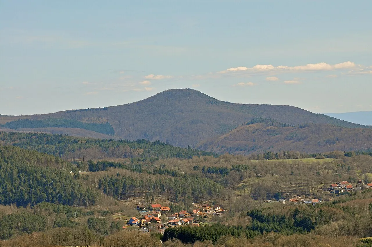
- Elevation
- 534 m
- above sea level
- Local time
- UTC+01:00
- Europe/Berlin · UTC+01:00
- Airports
- FKB Karlsruhe Baden-Baden Airport35 km
- SCN Saarbrücken Airport58 km
About Bobenthaler Knopf
Bobenthaler Knopf is a mountain. Location: Bobenthal, Südwestpfalz. Elevation: 534 m.
The Bobenthaler Knopf ("Bobenthal Knob") is a hill, 534 m above sea level (1,752 ft), in the southeastern Wasgau, the name given to the region covering the southern part of the Palatine Forest in Germany and the northern part of the Vosges in France. The hill is located entirely within the territory of the municipality of Bobenthal, from which it derives its name. It lies about 2 kilometres (1.2 mi) east of the main settlement.
Source: Wikipedia · CC BY-SA 4.0
Photos of Bobenthaler Knopf
-
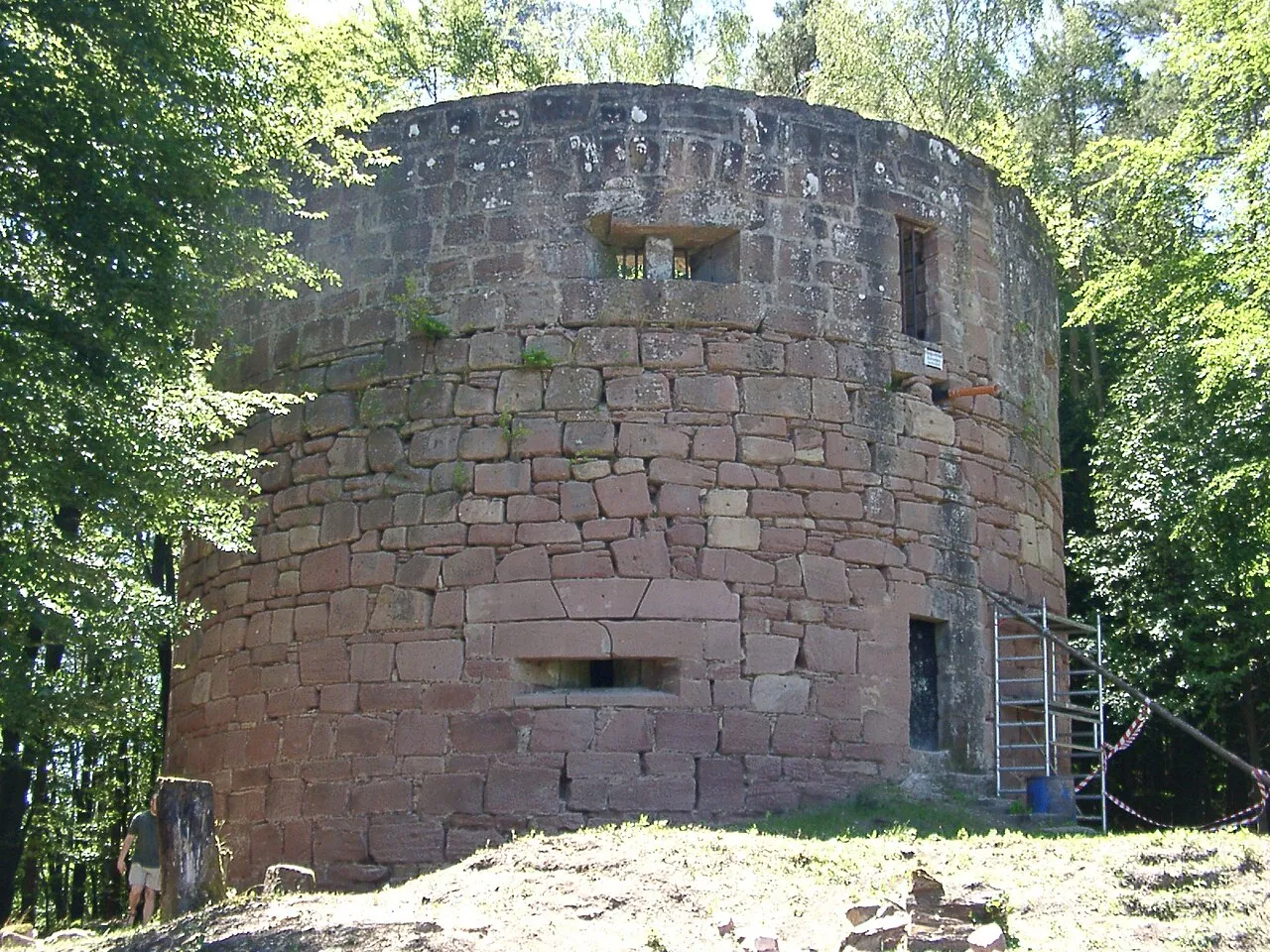
Nestelberg Ulli1105 · CC BY-SA 2.5 -
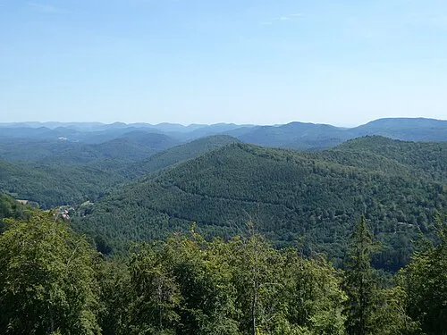
Kappelstein Steffen 962 · CC BY-SA 4.0 -
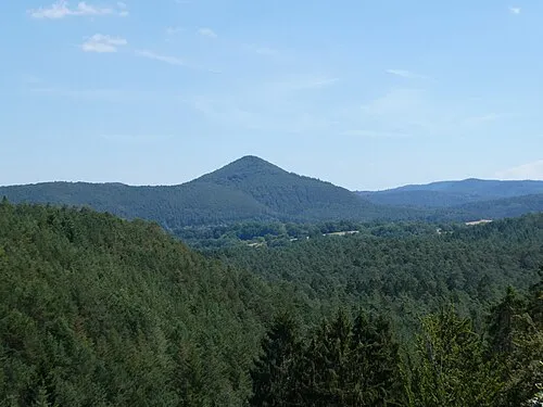
Jüngstberg Steffen 962 · CC BY-SA 4.0 -
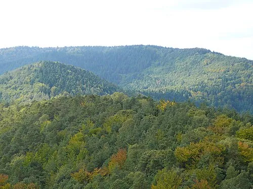
Hohe Derst H. Schreiber · CC BY-SA 3.0 -
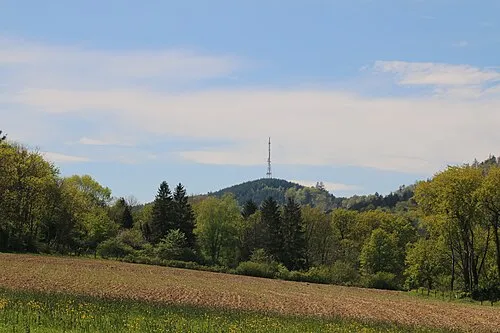
Eselsberg Rémih · CC BY-SA 4.0


Climate of Bobenthaler Knopf
Best months for sightseeingBest months for sightseeing: June–August.
This month · November
A cold month
Day 6° · Night 0° · Rain 78 mm
- Hottest month
- July (day 22°)
- Coldest month
- January (night -3°)
- Wettest month
- June (84 mm)
- Driest month
- April (57 mm)
Bars: average monthly low and high temperature. Below: precipitation. Monthly averages for 1970–2000 at about 18 km resolution, adjusted for elevation. Highlighted months are mild and relatively dry. Source: WorldClim 2.1 (CC BY 4.0).
Show values as a table
| Month | Jan | Feb | Mar | Apr | May | Jun | Jul | Aug | Sep | Oct | Nov | Dec |
|---|---|---|---|---|---|---|---|---|---|---|---|---|
| Average high (°C) | 2° | 3° | 8° | 11° | 16° | 19° | 22° | 21° | 17° | 12° | 6° | 3° |
| Average low (°C) | -3° | -3° | 0° | 2° | 6° | 9° | 11° | 11° | 8° | 4° | 0° | -2° |
| Precipitation (mm) | 65 | 63 | 63 | 57 | 82 | 84 | 74 | 59 | 67 | 78 | 78 | 84 |
How to get to Bobenthaler Knopf
The nearest airport is Karlsruhe Baden-Baden Airport (FKB), 35 km to the southeast as the crow flies. The nearest large city is Karlsruhe, 39 km to the east.
Airports
- Karlsruhe Baden-Baden Airport (FKB) Rheinmünster 35 kmsoutheast
- Saarbrücken Airport (SCN) Saarbrücken 58 kmwest
- Strasbourg Airport (SXB) Strasbourg 62 kmsouth
Nearby large cities
- Karlsruhe Population: 283.8K 39 kmeast
- Strasbourg Population: 274.8K 55 kmsouth
- Ludwigshafen am Rhein Population: 163.2K 62 kmnortheast
- Pforzheim Population: 119.3K 64 kmeast
- Mannheim Population: 308K 64 kmnortheast
Straight-line distances; road distances are longer. Airport data: OurAirports.
Day trips from Bobenthaler Knopf
Within 100 km: 735 historic and cultural sites, 3,525 natural sites, 708 lakes, rivers and coasts.
0–25 km487 places
- Zwieselkopf Mountain 20 kmN
- Zündelsberg Mountain 10 kmW
- Zuckerberg Mountain 11 kmE
- Zöllerberg Mountain 7 kmNW
25–60 km1,339 places
- Rench River 44 kmS
- Insel Flotzgrün Island 48 kmNE
- Otterstadter Altrhein Lake 57 kmNE
- Mummelsee Lake 57 kmSE
60–100 km3,142 places
- Unditz River 70 kmS
- Elsenz River 76 kmNE
- Modau River 93 kmNE
- Friesenheimer Insel Island 65 kmNE
Straight-line distances.
Nearest towns and villages
-
Bobenthal Village, Bobenthal0.7 km W
-
Niederschlettenbach Village, Niederschlettenbach2.6 km NW
-
Niederschlettenbach Village, Südwestpfalz2.5 km NW
-
Böllenborn Village, Landkreis Südliche Weinstraße3.8 km NE
-
Erlenbach bei Dahn Village, Südwestpfalz4.2 km N
-
Sankt Germannshof Village, Bobenthal2.9 km SE
Nearby attractions & nature
Everything nearby-
Oberer Kirchberg Mountain, Schweigen-Rechtenbach1.8 km E
-
Alschberg Mountain, Bobenthal2.2 km S
-
Teilberg Mountain, Niederschlettenbach2 km NW
-
Hasenkopf Mountain, Bobenthal2 km SW
-
Hoher Kopf Mountain, Bobenthal2.4 km SE
-
Krummer Ellenbogen Mountain, Bobenthal2.6 km N
-
Hirzeck Mountain, Bobenthal2.4 km N
-
Probstberg Mountain, Bobenthal2 km S
Sources & licences
Data last updated: · 2 independent sources