Ernstberg
Located in Hinterweiler, Vulkaneifel Coordinates: 50°13′50″ N 6°46′09″ E
- Elevation
- 699 m
- above sea level
- Local time
- UTC+01:00
- Europe/Berlin · UTC+01:00
About Ernstberg
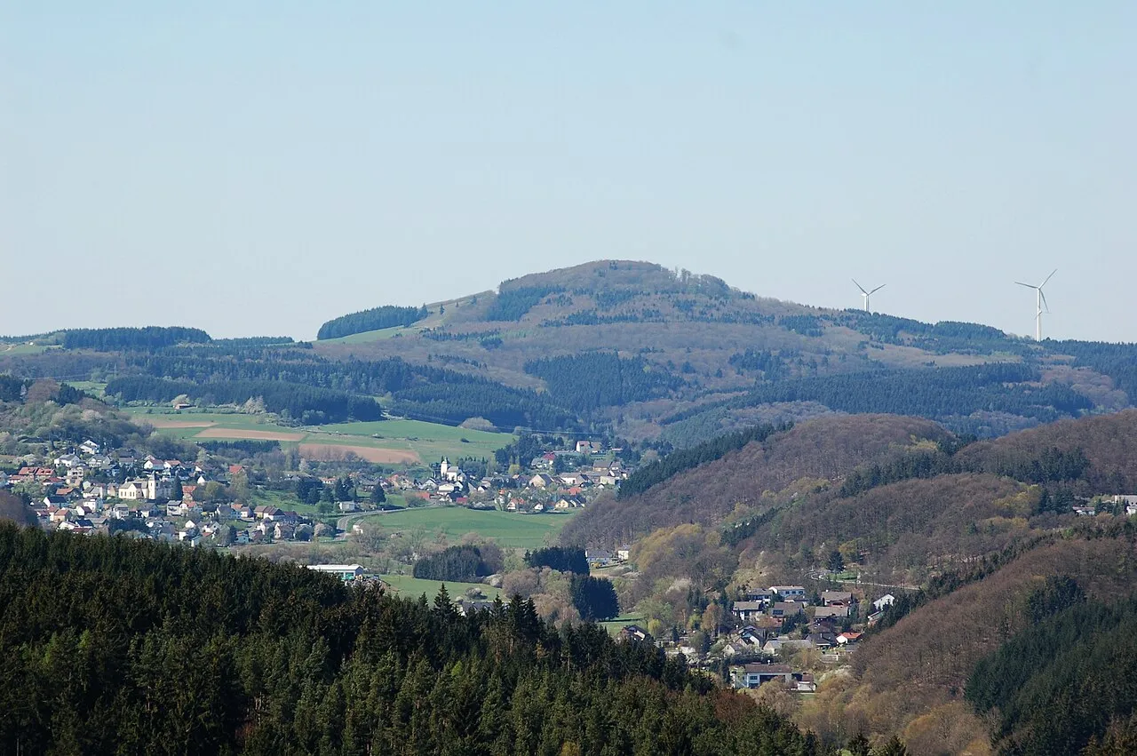
Ernstberg is a mountain. Location: Hinterweiler, Vulkaneifel. Elevation: 699 m.
The Ernstberg (also Erresberg) southeast of Hinterweiler is, at 698.8 m, the highest of the west Eifel volcanoes and, after the Hohe Acht, the second highest mountain in the Eifel overall. Its summit consists of pyroclastic rocks (Schweißschlacken) that form a volcanic crater that is open towards the east. This is where the basalt masses flowed out, forming a semicircle on the eastern slope of the mountain. It lies within the Waldeifel region.
Read more on Wikipedia Text: Wikipedia contributors · CC BY-SA 4.0 · shortened
In comparison
- No. 3595 of 25787 mountains in Germany by elevation
- 92 sights and natural places within 10 km Dauner Heck, Hüwelt
Nearest towns and villages
-
Hinterweiler Village, Hinterweiler1.2 km NW
-
Kirchweiler Village, Vulkaneifel1.4 km W
-
Kirchweiler Village, Kirchweiler1.7 km W
-
Dockweiler Village, Vulkaneifel2.4 km NE
-
Dockweiler Village, Dockweiler2.4 km NE
-
Betteldorf Village, Vulkaneifel2.6 km NW
Nearby attractions & nature
Everything nearby-
Dauner Heck Mountain, Kirchweiler1.1 km W
-
Hüwelt Mountain, Hinterweiler1.2 km N
-
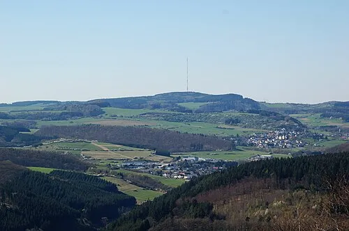 Scharteberg Mountain, Kirchweiler1.9 km SW
-
In der Eyd Mountain, Dockweiler1.7 km NE
-
Bremelchen Mountain, Hinterweiler1.9 km NW
-
Asseberg Mountain, Daun2.6 km SE
-
Feuer-Berg Mountain, Hohenfels-Essingen2.8 km NW
-
Sassen-Berg Mountain, Berlingen3 km W
Sources & licences
Data last updated: · 2 independent sources