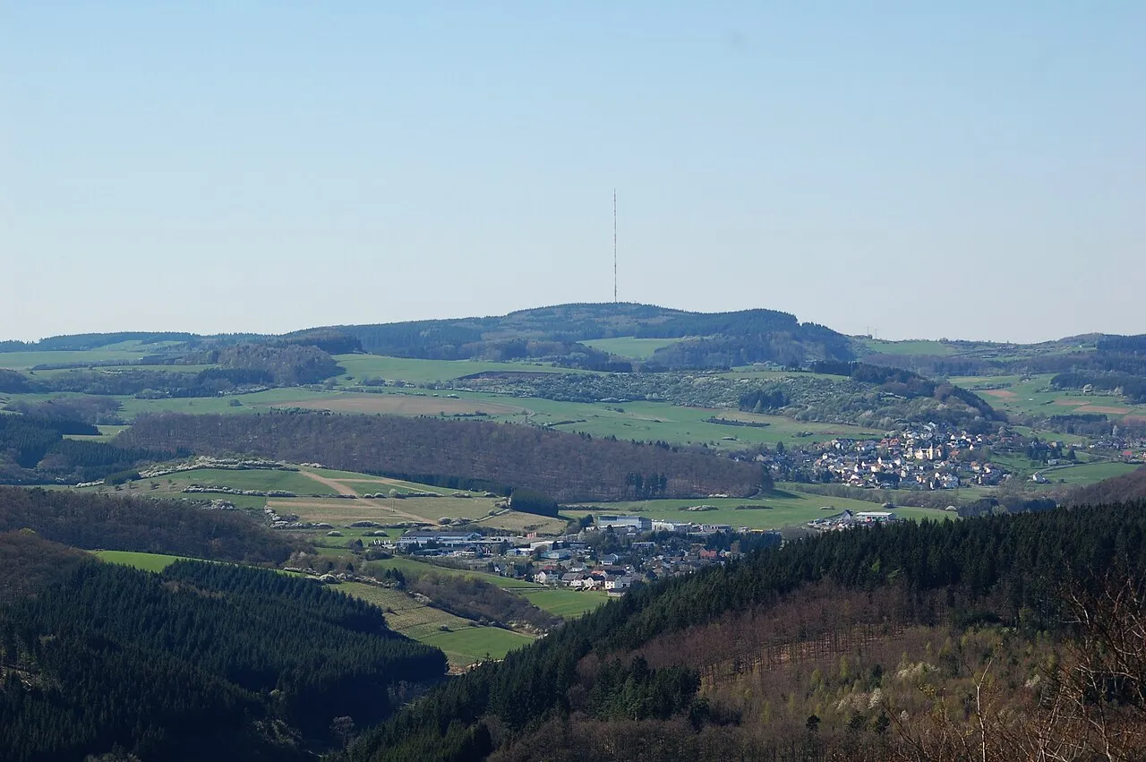
- Elevation
- 691 m
- above sea level
- Local time
- UTC+01:00
- Europe/Berlin · UTC+01:00
- Airports
- HHN Frankfurt-Hahn Airport47 km
- LUX Luxembourg-Findel International Airport76 km
About Scharteberg
Scharteberg is a mountain. Location: Kirchweiler, Vulkaneifel. Elevation: 691 m.
The Scharteberg is a mountain, 691.4 metres (2,268 ft) high, near Kirchweiler in the district of Vulkaneifel and is one of the highest peaks in the Eifel region of Germany. On the summit is the Eifel Transmitter, which belongs to SWR and is used for FM radio and television.
Source: Wikipedia · CC BY-SA 4.0
Photos of Scharteberg
-

Mabol! · CC BY-SA 3.0 -
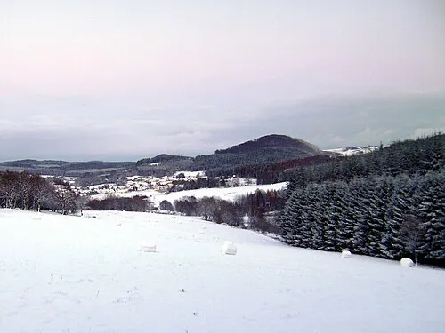
Nerother Kopf WinfriedSchneider · CC BY-SA 3.0 -
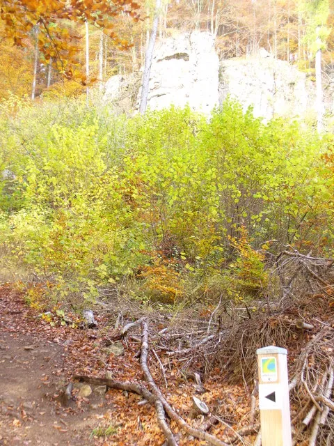
Hustley Colin Smith on geo.hlipp.de · CC BY-SA 2.0 -
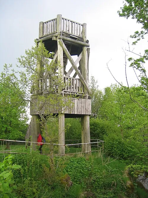
Dietzenley Mabol! · Public domain -
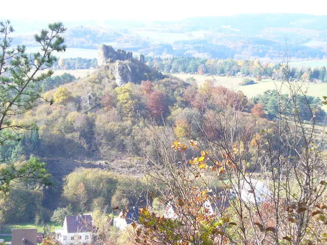
Auberg Colin Smith on geo.hlipp.de · CC BY-SA 2.0


Climate of Scharteberg
Best months for sightseeingBest months for sightseeing: June–August.
This month · November
A cold month
Day 5° · Night 0° · Rain 95 mm
- Hottest month
- July (day 20°)
- Coldest month
- February (night -4°)
- Wettest month
- December (107 mm)
- Driest month
- August (64 mm)
Bars: average monthly low and high temperature. Below: precipitation. Monthly averages for 1970–2000 at about 18 km resolution, adjusted for elevation. Highlighted months are mild and relatively dry. Source: WorldClim 2.1 (CC BY 4.0).
Show values as a table
| Month | Jan | Feb | Mar | Apr | May | Jun | Jul | Aug | Sep | Oct | Nov | Dec |
|---|---|---|---|---|---|---|---|---|---|---|---|---|
| Average high (°C) | 1° | 2° | 6° | 10° | 15° | 18° | 20° | 20° | 16° | 10° | 5° | 2° |
| Average low (°C) | -4° | -4° | -1° | 1° | 5° | 8° | 10° | 10° | 7° | 3° | 0° | -2° |
| Precipitation (mm) | 98 | 77 | 89 | 66 | 73 | 79 | 76 | 64 | 81 | 83 | 95 | 107 |
How to get to Scharteberg
The nearest airport is Frankfurt-Hahn Airport (HHN), 47 km to the southeast as the crow flies. The nearest large city is Trier, 52 km to the south.
Airports
- Frankfurt-Hahn Airport (HHN) Frankfurt am Main (Lautzenhausen) 47 kmsoutheast
- Luxembourg-Findel International Airport (LUX) Luxembourg 76 kmsouthwest
- Cologne Bonn Airport (CGN) Köln (Cologne) 77 kmnorth
Nearby large cities
- Trier Population: 100.1K 52 kmsouth
- Koblenz Population: 107.3K 61 kmeast
- Bonn Population: 330.6K 62 kmnortheast
- Aachen Population: 265.2K 78 kmnorthwest
- Cologne Population: 1M 81 kmnorth
Straight-line distances; road distances are longer. Airport data: OurAirports.
Day trips from Scharteberg
Within 100 km: 556 historic and cultural sites, 2,989 natural sites, 863 lakes, rivers and coasts.
0–25 km494 places
- Weinfelder Maar Lake 8 kmSE
- Pulvermaar Lake 16 kmSE
- Meerfelder Maar Lake 13 kmS
- Gemündener Maar Lake 7 kmSE
25–60 km1,516 places
- Lac de Robertville Lake 52 kmNW
- Steinkopf Mountain 41 kmW
- Steiner Berg Mountain 48 kmW
- Schartenknopf Mountain 28 kmNW
60–100 km2,398 places
- Île du Moulin Island 91 kmNW
- Île Monsin Island 93 kmNW
- Île de Franche Garenne Island 93 kmNW
- Lac de la Gileppe Lake 68 kmNW
Straight-line distances.
Nearest towns and villages
-
 Neroth Village, Vulkaneifel2 km S
-
Kirchweiler Village, Kirchweiler1.5 km N
-
Hinterweiler Village, Vulkaneifel2.1 km N
-
 Hohenfels-Essingen Village, Vulkaneifel3.8 km N
-
Neroth Village, Neroth2.4 km S
-
Hinterweiler Village, Hinterweiler2.1 km N
Nearby attractions & nature
Everything nearby-
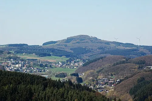 Ernstberg Mountain, Hinterweiler1.9 km NE
-
Lehberg Mountain, Kirchweiler1.3 km SW
-
Dauner Heck Mountain, Kirchweiler1.4 km N
-
Sendemast Kirchweiler Landmark, Kirchweiler0.2 km NW
-
Nerother Kopf Mountain, Daun2.7 km S
-
Sassen-Berg Mountain, Berlingen2.6 km NW
-
Hüwelt Mountain, Hinterweiler3 km NE
-
Bremelchen Mountain, Hinterweiler3.1 km N
Sources & licences
Data last updated: · 2 independent sources