- Elevation
- 410 m
- above sea level
- Local time
- UTC+01:00
- Europe/Berlin · UTC+01:00
- Airports
- SCN Saarbrücken Airport30 km
- LUX Luxembourg-Findel International Airport56 km
About Klapperberg
Klapperberg is a mountain. Location: Lebach, Landkreis Saarlouis. Elevation: 410 m. The best months to visit are June–August. The nearest airport is Saarbrücken Airport (30 km). Nearby sights include Steinberg and Donnerhübel.
Climate of Klapperberg
Best months for sightseeingBest months for sightseeing: June–August.
This month · November
A cold month
Day 6° · Night 1° · Rain 98 mm
- Hottest month
- July (day 22°)
- Coldest month
- January (night -2°)
- Wettest month
- December (113 mm)
- Driest month
- August (64 mm)
Bars: average monthly low and high temperature. Below: precipitation. Monthly averages for 1970–2000 at about 18 km resolution, adjusted for elevation. Highlighted months are mild and relatively dry. Source: WorldClim 2.1 (CC BY 4.0).
Show values as a table
| Month | Jan | Feb | Mar | Apr | May | Jun | Jul | Aug | Sep | Oct | Nov | Dec |
|---|---|---|---|---|---|---|---|---|---|---|---|---|
| Average high (°C) | 3° | 4° | 8° | 12° | 17° | 20° | 22° | 22° | 18° | 12° | 6° | 4° |
| Average low (°C) | -2° | -2° | 0° | 2° | 7° | 9° | 11° | 11° | 8° | 5° | 1° | -1° |
| Precipitation (mm) | 94 | 80 | 82 | 66 | 81 | 81 | 79 | 64 | 75 | 91 | 98 | 113 |
How to get to Klapperberg
The nearest airport is Saarbrücken Airport (SCN), 30 km to the southeast as the crow flies. For international flights: Luxembourg-Findel International Airport (LUX) (56 km). The nearest large city is Saarbrücken, 25 km to the south.
Airports
- Saarbrücken Airport (SCN) Saarbrücken 30 kmsoutheast
- Luxembourg-Findel International Airport (LUX) Luxembourg 56 kmwest
- Frankfurt-Hahn Airport (HHN) Frankfurt am Main (Lautzenhausen) 59 kmnortheast
Nearby large cities
- Saarbrücken Population: 183K 25 kmsouth
- Trier Population: 100.1K 40 kmnorthwest
- Metz Population: 123.9K 67 kmsouthwest
- Nancy Population: 105.1K 102 kmsouthwest
- Ludwigshafen am Rhein Population: 163.2K 109 kmeast
Straight-line distances; road distances are longer. Airport data: OurAirports.
Day trips from Klapperberg
Within 100 km: 389 historic and cultural sites, 2,699 natural sites, 605 lakes, rivers and coasts.
0–25 km356 places
- Talsperre Nonnweiler Lake 19 kmN
- Bostalsee Lake 16 kmNE
- Ottweiler Wingertsweier Lake 18 kmE
- Bomberg Mountain 13 kmE
25–60 km899 places
- Sauer River 43 kmNW
- Gelterswoog Lake 55 kmE
- Steinbachtalsperre Lake 41 kmNE
- Zoonenberg Mountain 47 kmNW
60–100 km2,438 places
- Montagne de Stockem Mountain 90 kmW
- Steinkopf Mountain 99 kmNW
- Schwirzbierg Mountain 99 kmNW
- Bois de Willancourt Natural site 91 kmW
Straight-line distances.
Nearest towns and villages
-
Höchsten Village, Lebach0.8 km NW
-
Steinbach Village, Lebach1.7 km E
-
Thalexweiler Village, Lebach2.2 km SE
-
Schellenbach Village, Lebach2.4 km SE
-
Aschbach Village, Lebach2.5 km SE
-
Primburg Village, Lebach2.6 km S
Nearby attractions & nature
Everything nearby-
Steinberg Mountain, Lebach0.7 km SW
-
Donnerhübel Mountain, Lebach0.8 km NE
-
Ebert Mountain, Lebach1.1 km W
-
Mehlberg Mountain, Lebach1.1 km SE
-
Klinkberg Mountain, Lebach1.1 km SW
-
Lindenberg Mountain, Lebach1.5 km NE
-
Steinberg Mountain, Schmelz2 km NW
-
Krummer Stein Mountain, Lebach2.1 km NE
More nature in Germany
-
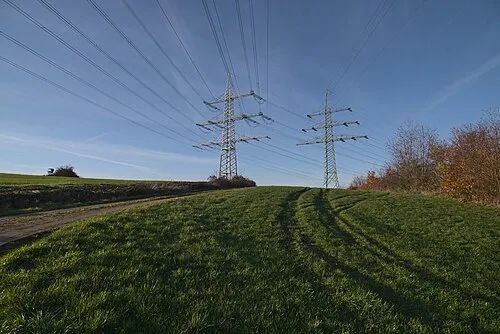 Wünschberg Mountain, Lebach5.5 km S
-
Heinzenberg Mountain, Lebach3.4 km E
-
Weierberg Mountain, Lebach3.9 km SW
-
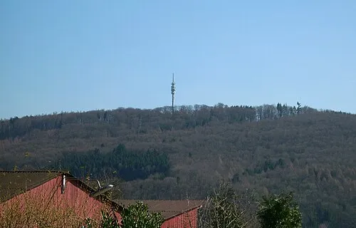 Hoxberg Mountain, Lebach8.4 km SW
-
Hangenberg Mountain, Lebach7.7 km S
-
Hasenberg Mountain, Lebach8 km SW
Sources & licences
Data last updated: · 2 independent sources