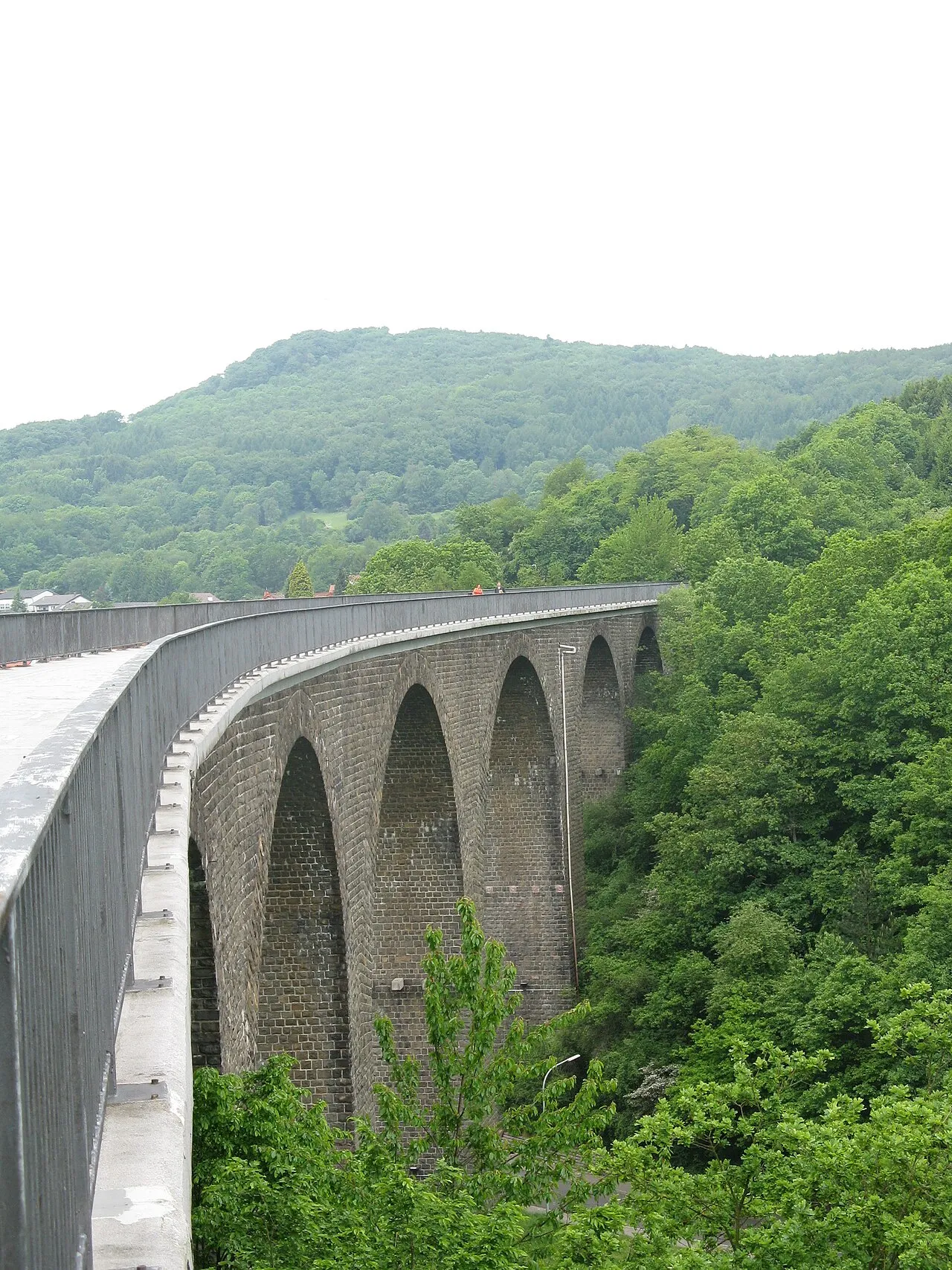
- Elevation
- 569 m
- above sea level
- Local time
- UTC+01:00
- Europe/Berlin · UTC+01:00
- Airports
- SCN Saarbrücken Airport36 km
- HHN Frankfurt-Hahn Airport47 km
About Weißelberg
Weißelberg is a mountain. Location: Freisen, Landkreis Sankt Wendel. Elevation: 569 m.
The Weiselberg is a hill 569.5 m above sea level (NHN) in the North Palatine Uplands near Oberkirchen in the Saarland county of St. Wendel. The Weiselberg is covered in forest, especially on its upper slopes and is a habitat for rare species of plant. It was made a nature reserve in 1950.
Source: Wikipedia · CC BY-SA 4.0
Photos of Weißelberg
-

Pascal Dihé · CC BY-SA 4.0 -

atreyu · CC BY-SA 4.0 -

NenyaAynen · CC BY-SA 3.0 -

GDelhey · CC BY-SA 3.0 -

GDelhey · CC BY-SA 3.0


Climate of Weißelberg
Best months for sightseeingBest months for sightseeing: June–August.
This month · November
A cold month
Day 5° · Night 0° · Rain 90 mm
- Hottest month
- July (day 21°)
- Coldest month
- February (night -4°)
- Wettest month
- December (103 mm)
- Driest month
- April (62 mm)
Bars: average monthly low and high temperature. Below: precipitation. Monthly averages for 1970–2000 at about 18 km resolution, adjusted for elevation. Highlighted months are mild and relatively dry. Source: WorldClim 2.1 (CC BY 4.0).
Show values as a table
| Month | Jan | Feb | Mar | Apr | May | Jun | Jul | Aug | Sep | Oct | Nov | Dec |
|---|---|---|---|---|---|---|---|---|---|---|---|---|
| Average high (°C) | 1° | 3° | 7° | 11° | 16° | 19° | 21° | 21° | 16° | 11° | 5° | 2° |
| Average low (°C) | -3° | -4° | -1° | 1° | 6° | 9° | 11° | 10° | 7° | 4° | 0° | -2° |
| Precipitation (mm) | 86 | 75 | 78 | 62 | 78 | 77 | 75 | 63 | 72 | 86 | 90 | 103 |
How to get to Weißelberg
The nearest airport is Saarbrücken Airport (SCN), 36 km to the south as the crow flies. For international flights: Frankfurt-Hahn Airport (HHN) (47 km). The nearest large city is Saarbrücken, 36 km to the southwest.
Airports
- Saarbrücken Airport (SCN) Saarbrücken 36 kmsouth
- Frankfurt-Hahn Airport (HHN) Frankfurt am Main (Lautzenhausen) 47 kmnorth
- Luxembourg-Findel International Airport (LUX) Luxembourg 76 kmwest
Nearby large cities
- Saarbrücken Population: 183K 36 kmsouthwest
- Trier Population: 100.1K 51 kmnorthwest
- Ludwigshafen am Rhein Population: 163.2K 87 kmeast
- Mannheim Population: 308K 89 kmeast
- Metz Population: 123.9K 90 kmsouthwest
Straight-line distances; road distances are longer. Airport data: OurAirports.
Day trips from Weißelberg
Within 100 km: 597 historic and cultural sites, 2,922 natural sites, 725 lakes, rivers and coasts.
0–25 km388 places
- Talsperre Nonnweiler Lake 21 kmNW
- Bostalsee Lake 13 kmW
- Ottweiler Wingertsweier Lake 13 kmS
- Bomberg Mountain 12 kmSW
25–60 km1,424 places
- Sauer River 58 kmNW
- Gelterswoog Lake 36 kmSE
- Steinbachtalsperre Lake 28 kmN
- Zwieselkopf Mountain 56 kmSE
60–100 km2,432 places
- Jufferbusch Natural site 100 kmW
- Our River 79 kmNW
- Autelbas River 96 kmW
- Grendelbach River 98 kmW
Straight-line distances.
Nearest towns and villages
-
 Oberkirchen Village, Freisen1.1 km E
-
Freisen Town, Freisen3 km N
-
Reitscheid Village, Freisen1.9 km NW
-
Reichweiler Village, Reichweiler3.1 km E
-
Reichweiler Village, Landkreis Kusel3.9 km NE
-
Haupersweiler Village, Freisen2.3 km SE
Nearby attractions & nature
Everything nearby-
Hochrech Mountain, Freisen1.2 km N
-
Füsselberg Mountain, Freisen1.5 km NW
-
Eiselskist Mountain, Freisen1.7 km W
-
Steinhügel Mountain, Freisen2.3 km S
-
Rothsberg Mountain, Freisen2.3 km NW
-
Krähenberg Mountain, St. Wendel, Kreisstadt2.6 km S
-
Roter Berg Mountain, Namborn3.2 km SW
-
Hinkelsberg Mountain, St. Wendel, Kreisstadt3.2 km SW
Sources & licences
Data last updated: · 2 independent sources