Steinberg
Located in Großrosseln, Regionalverband Saarbrücken Coordinates: 49°10′01″ N 6°47′47″ E
- Elevation
- 319 m
- above sea level
- Local time
- UTC+01:00
- Europe/Paris · UTC+01:00
- Airports
- SCN Saarbrücken Airport23 km
- ETZ Metz-Nancy-Lorraine Airport45 km
About Steinberg
Steinberg is a mountain. Location: Großrosseln, Regionalverband Saarbrücken. Elevation: 319 m. The best months to visit are June–August. The nearest airport is Saarbrücken Airport (23 km). Nearby sights include Großer Meisenberg and Etzelberg.
Climate of Steinberg
Best months for sightseeingBest months for sightseeing: June–August.
This month · November
A cold month
Day 7° · Night 1° · Rain 86 mm
- Hottest month
- July (day 23°)
- Coldest month
- January (night -2°)
- Wettest month
- December (99 mm)
- Driest month
- August (60 mm)
Bars: average monthly low and high temperature. Below: precipitation. Monthly averages for 1970–2000 at about 18 km resolution, adjusted for elevation. Highlighted months are mild and relatively dry. Source: WorldClim 2.1 (CC BY 4.0).
Show values as a table
| Month | Jan | Feb | Mar | Apr | May | Jun | Jul | Aug | Sep | Oct | Nov | Dec |
|---|---|---|---|---|---|---|---|---|---|---|---|---|
| Average high (°C) | 3° | 5° | 9° | 13° | 18° | 21° | 23° | 23° | 19° | 13° | 7° | 4° |
| Average low (°C) | -2° | -2° | 1° | 3° | 7° | 10° | 12° | 12° | 9° | 5° | 1° | 0° |
| Precipitation (mm) | 79 | 71 | 71 | 61 | 77 | 77 | 73 | 60 | 69 | 83 | 86 | 99 |
How to get to Steinberg
The nearest airport is Saarbrücken Airport (SCN), 23 km to the east as the crow flies. For international flights: Luxembourg-Findel International Airport (LUX) (66 km). The nearest large city is Saarbrücken, 17 km to the northeast.
Airports
- Saarbrücken Airport (SCN) Saarbrücken 23 kmeast
- Metz-Nancy-Lorraine Airport (ETZ) Goin 45 kmsouthwest
- Luxembourg-Findel International Airport (LUX) Luxembourg 66 kmnorthwest
Nearby large cities
- Saarbrücken Population: 183K 17 kmnortheast
- Metz Population: 123.9K 46 kmwest
- Trier Population: 100.1K 66 kmnorth
- Nancy Population: 105.1K 70 kmsouthwest
- Strasbourg Population: 274.8K 95 kmsoutheast
Straight-line distances; road distances are longer. Airport data: OurAirports.
Day trips from Steinberg
Within 100 km: 303 historic and cultural sites, 2,072 natural sites, 434 lakes, rivers and coasts.
0–25 km162 places
- Vorberg Mountain 25 kmN
- Stenndinger Mountain 10 kmNW
- Sonnenberg Mountain 16 kmE
- Sommerberg Mountain 16 kmNE
25–60 km785 places
- Talsperre Nonnweiler Lake 52 kmN
- Bostalsee Lake 49 kmNE
- Ottweiler Wingertsweier Lake 39 kmNE
- Bomberg Mountain 39 kmNE
60–100 km1,862 places
- Château de Berg Historic site 88 kmNW
- Montagne de Stockem Mountain 95 kmNW
- Bois de Willancourt Natural site 93 kmNW
- Weid Busch Natural site 97 kmNW
Straight-line distances.
Nearest towns and villages
-
Freyming-Merlebach Town, Freyming-Merlebach2.1 km SW
-
Freyming-Merlebach Village, Arrondissement de Forbach-Boulay-Moselle2.8 km S
-
Karlsbrunn Village, Großrosseln1.3 km NE
-
Lauterbach Village, Völklingen4.3 km NW
-
Großrosseln Town, Großrosseln5.2 km NE
-
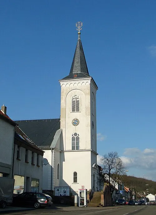 Ludweiler-Warndt Town, Völklingen6.1 km N
Nearby attractions & nature
Everything nearby-
Großer Meisenberg Mountain, Großrosseln1.5 km E
-
Etzelberg Mountain, Großrosseln1.5 km E
-
Kleiner Meisenberg Mountain, Großrosseln2.4 km NE
-
Kleiner Weiherkopf Mountain, Völklingen3.8 km N
-
Mühlenberg Mountain, Völklingen3.8 km NW
-
Elenz Berg Mountain, Morsbach3.4 km E
-
Der Warndt Natural site, Saarland4 km NW
-
Eichenkopf Mountain, Völklingen5.4 km N
Sources & licences
Data last updated: · 2 independent sources